Dun-da-Lamh Walk
View Photos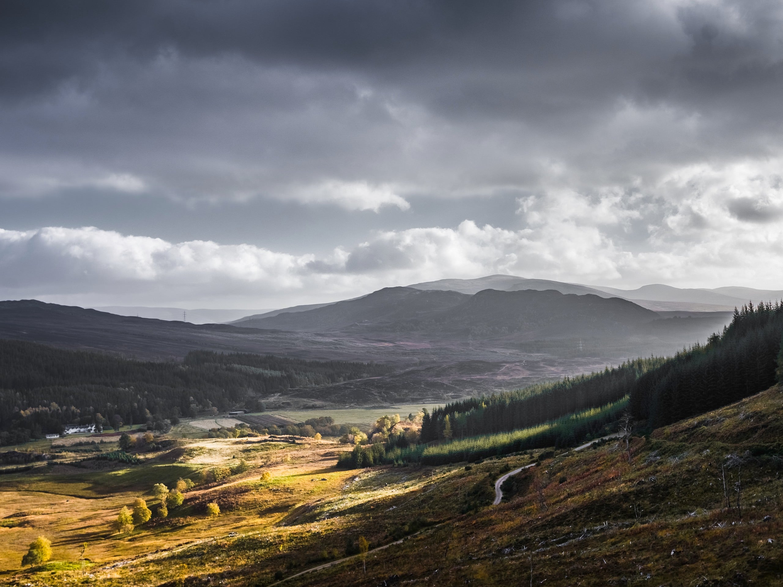
Dun-da-Lamh Walk
Difficulty Rating:
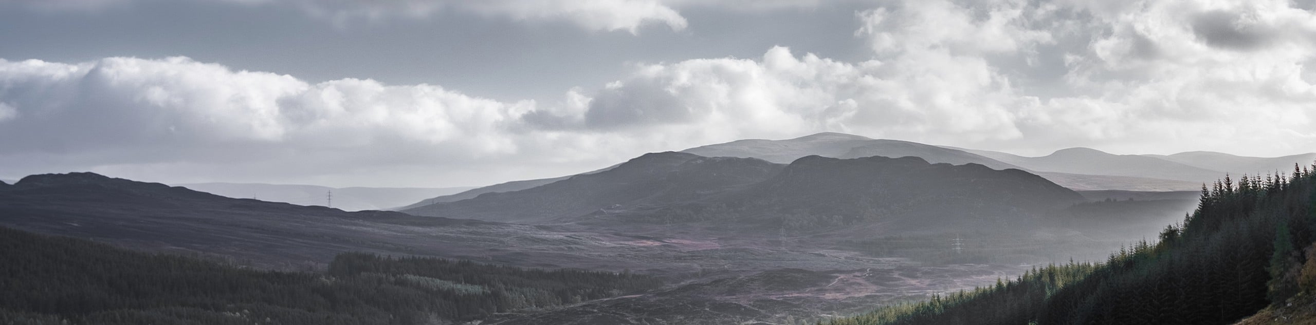
The Dun-da-Lamh Walk is a fantastic outdoor excursion in Cairngorms National Park that features scenic views from atop a peak that is also an historical site. While out walking the trail, you will climb uphill through the forest to reach the summit of Dun-da-Lamh, which offers fantastic views overlooking the Spey Cam Reservoir and was once the site of a Pictish fort. While there is a fair amount of elevation gain on this moderate length trail, it is still suitable for casual adventurers.
Getting there
The trailhead for the Dun-da-Lamh Walk can be found along A86 next to the Laggan Wolftrax Mountain Biking Trail Centre.

About
| Backcountry Campground | No |
| When to do | Year-Round |
| Pets allowed | Yes - On Leash |
| Family friendly | Older Children only |
| Route Signage | Average |
| Crowd Levels | Moderate |
| Route Type | Out and back |
Dun-da-Lamh Walk
Elevation Graph
Weather
Dun-da-Lamh Walk Description
Whether the aim of your day on the trails is to simply summit a small peak to take in the beautiful views, or to visit a fascinating historical site, the Dun-da-Lamh Walk is an excellent option in Cairngorms National Park to do just that.
Setting out from the trailhead, you will make your way through the forest for a short distance and cross over the A86, following the trail as it leads you to the northwest. Here, you will make your way over the River Mashie and begin climbing the wooded slopes of Dun-da-Lamh.
After reaching the summit of the hill, you will enjoy some pleasant views in every direction, including the charming waters of the Spey Dam Reservoir to the northwest. Also located at the top of the hill are the ruins of what was once a Pictish fort that would have held a commanding position over the valley. After exploring the site, you will make your way back along the same route to return to the trailhead where you began your journey.
Similar hikes to the Dun-da-Lamh Walk hike

Glen Banvie Trail and Blair Castle Walk
The Glen Banvie Trail and Blair Castle Walk is a great adventure in Cairngorms National Park that takes in the…

Beinn Udlamain Munro and Sgairneach Mhòr Walk
The Beinn Udlamain Munro and Sgairneach Mhòr Walk is a rugged and exciting journey in Cairngorms National Park that will…

Loch an Eilein, Loch Gamhna, Old Logging Way Loop
The Loch an Eilein, Loch Gamhna, Old Logging Way Loop is a wonderful walking trail in Cairngorms National Park that…
Comments