Blair Atholl and Glen Tilt Loop
View Photos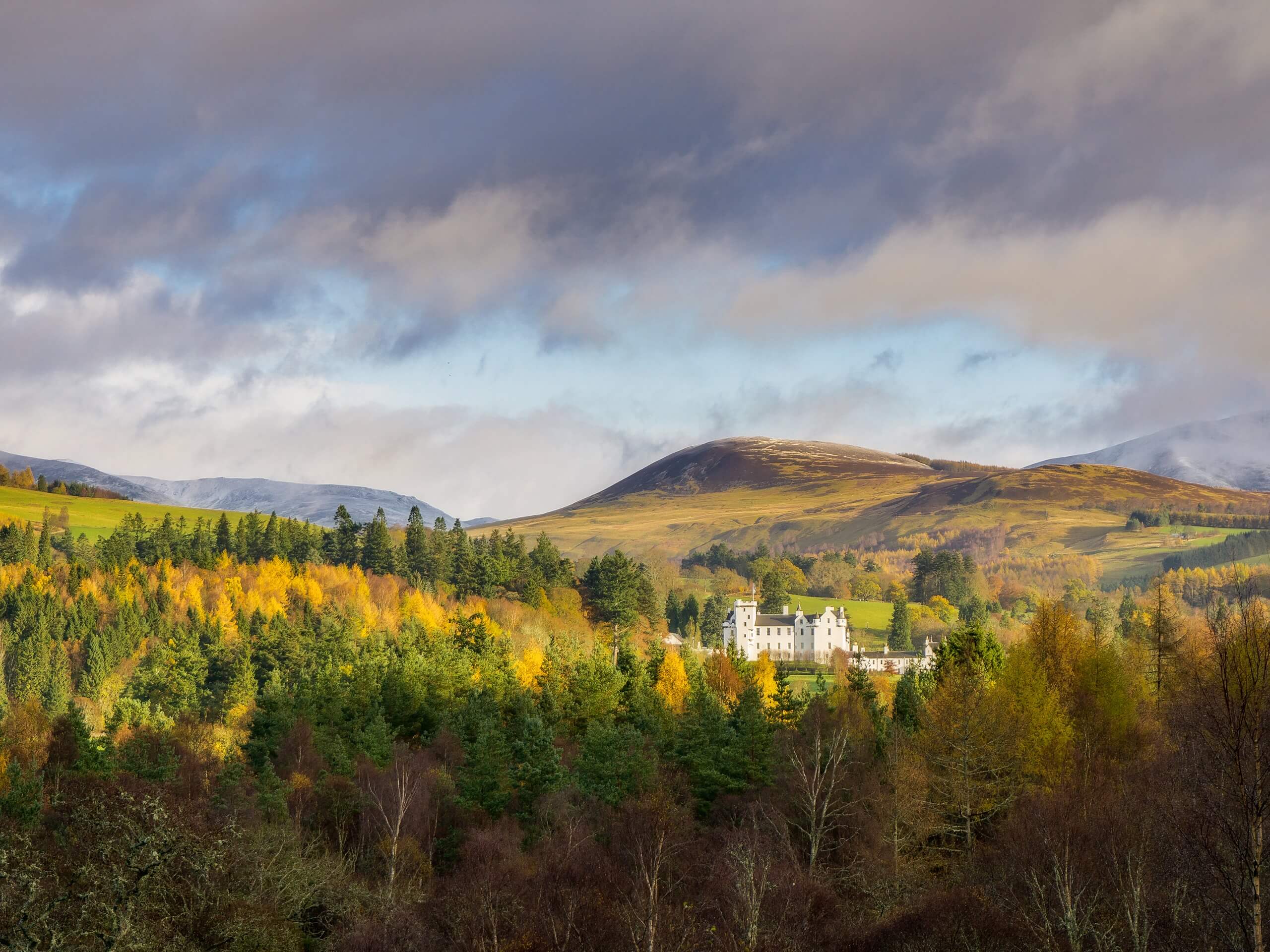
Blair Atholl and Glen Tilt Loop
Difficulty Rating:
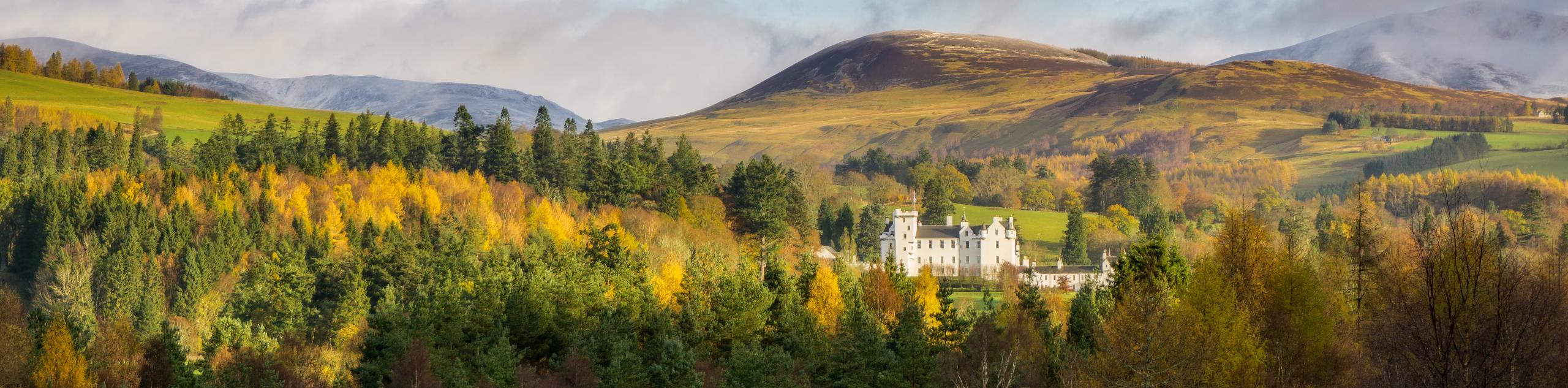
The Blair Atholl and Glen Tilt Loop is an awesome intermediate length walking route in Cairngorms National Park that will take you along a riverbank to explore a beautiful glen. While out walking the trail, you will traverse an atmospheric stretch of forest landscape, continuing along the winding banks of the River Tilt while taking in the beauty of the surrounding mountains. This is a fantastic excursion for casual and experienced walkers alike.
Getting there
The trailhead for the Blair Atholl and Glen Tilt Loo[p can be found at the Glen Tilt car park, just east of the Hercules Garden at Blair Castle.

About
| Backcountry Campground | No |
| When to do | Year-Round |
| Pets allowed | Yes - On Leash |
| Family friendly | Older Children only |
| Route Signage | Average |
| Crowd Levels | Moderate |
| Route Type | Lollipop |
Blair Atholl and Glen Tilt Loop
Elevation Graph
Weather
Blair Atholl and Glen Tilt Loop Trail Description
If you are wanting to experience a variety of terrain in Cairngorms National Park without adding too much difficulty into your day on the trails, then the Blair Atholl and Glen Tilt Loop will make for the perfect route. This route features a wonderful riverside setting surrounded by forests and mountains, meaning beautiful views are never too far off the trail.
Setting out from the car park, you will initially make your way east to meet up with the banks of the River Tilt, following them north as you work through a beautiful stretch of woodland terrain. Take some time to appreciate the atmospheric forest surrounding you, keeping left at a fork in the path to keep along the west bank of the river, before eventually breaking free of the tree cover.
Here, you will continue along the river as it snakes through the glen to the northeast, offering some scenic views of the surrounding mountains. Eventually, you will cross a bridge over the River Tilt and head back towards the trailhead along the east bank. After passing back through the forest, continue along the trail until you arrive back at the car park where you began your walk.
Similar hikes to the Blair Atholl and Glen Tilt Loop hike

Glen Banvie Trail and Blair Castle Walk
The Glen Banvie Trail and Blair Castle Walk is a great adventure in Cairngorms National Park that takes in the…

Beinn Udlamain Munro and Sgairneach Mhòr Walk
The Beinn Udlamain Munro and Sgairneach Mhòr Walk is a rugged and exciting journey in Cairngorms National Park that will…

Loch an Eilein, Loch Gamhna, Old Logging Way Loop
The Loch an Eilein, Loch Gamhna, Old Logging Way Loop is a wonderful walking trail in Cairngorms National Park that…
Comments