Ben Gulabin Walk
View Photos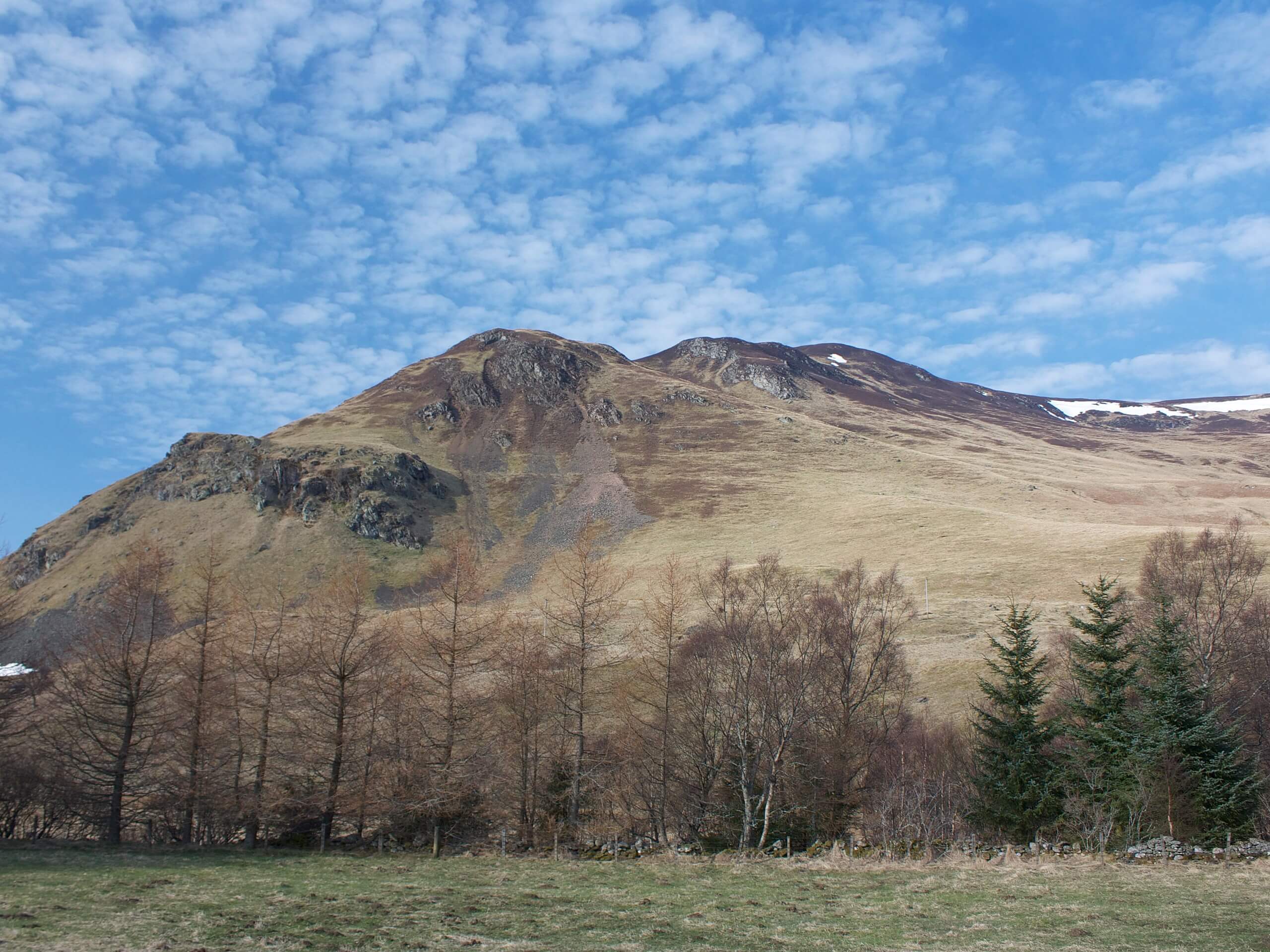
Ben Gulabin Walk
Difficulty Rating:
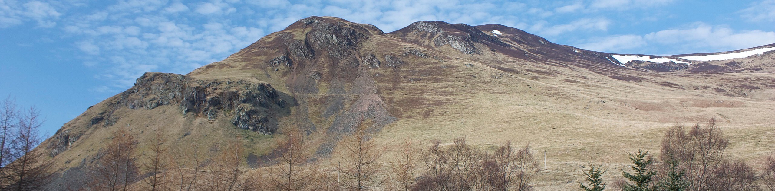
The Ben Gulabin Walk is a challenging adventure in Cairngorms National Park that will take you on a fairly direct route up the mountain for views over the valley. While out walking the trail, you will climb up steep, rocky, and often eroded paths to reach the summit, where spectacular views of the surrounding landscape await. Walkers should take note that this route is only suitable for the summer months, as the peak is covered with snow and ice during the winter and requires experience using and ice axe and crampons.
Getting there
The trailhead for the Ben Gulabin Walk can be found at the car park along A93, just 0.9mi north of Spittal of Glenshee.

About
| Backcountry Campground | No |
| When to do | April-September |
| Pets allowed | No |
| Family friendly | No |
| Route Signage | Average |
| Crowd Levels | Moderate |
| Route Type | Lollipop |
Ben Gulabin Walk
Elevation Graph
Weather
Ben Gulabin Walk Description
If you are looking to push the limits of your physical fitness on a short summit route in Cairngorms National Park, then the Ben Gulabin Walk is the perfect route to do so. At only 4.2mi and featuring over 1640ft of elevation, this steep route will be sure to give you a solid leg burn while providing breathtaking views.
Setting out from the trailhead, you will follow the path leading to the northwest that will take you away from the road and up the mountainside. Shortly after crossing Allt a’ Charnaich, the route will bend to the southwest and become even more steep, leading you up to the summit of Ben Gulabin. Here, you can explore the top of the peak and take in the breathtaking views of the valley surrounding you, before heading back down the same trail on the return.
Similar hikes to the Ben Gulabin Walk hike

Glen Banvie Trail and Blair Castle Walk
The Glen Banvie Trail and Blair Castle Walk is a great adventure in Cairngorms National Park that takes in the…

Beinn Udlamain Munro and Sgairneach Mhòr Walk
The Beinn Udlamain Munro and Sgairneach Mhòr Walk is a rugged and exciting journey in Cairngorms National Park that will…

Loch an Eilein, Loch Gamhna, Old Logging Way Loop
The Loch an Eilein, Loch Gamhna, Old Logging Way Loop is a wonderful walking trail in Cairngorms National Park that…
Comments