Boulder Mesa Trail
View Photos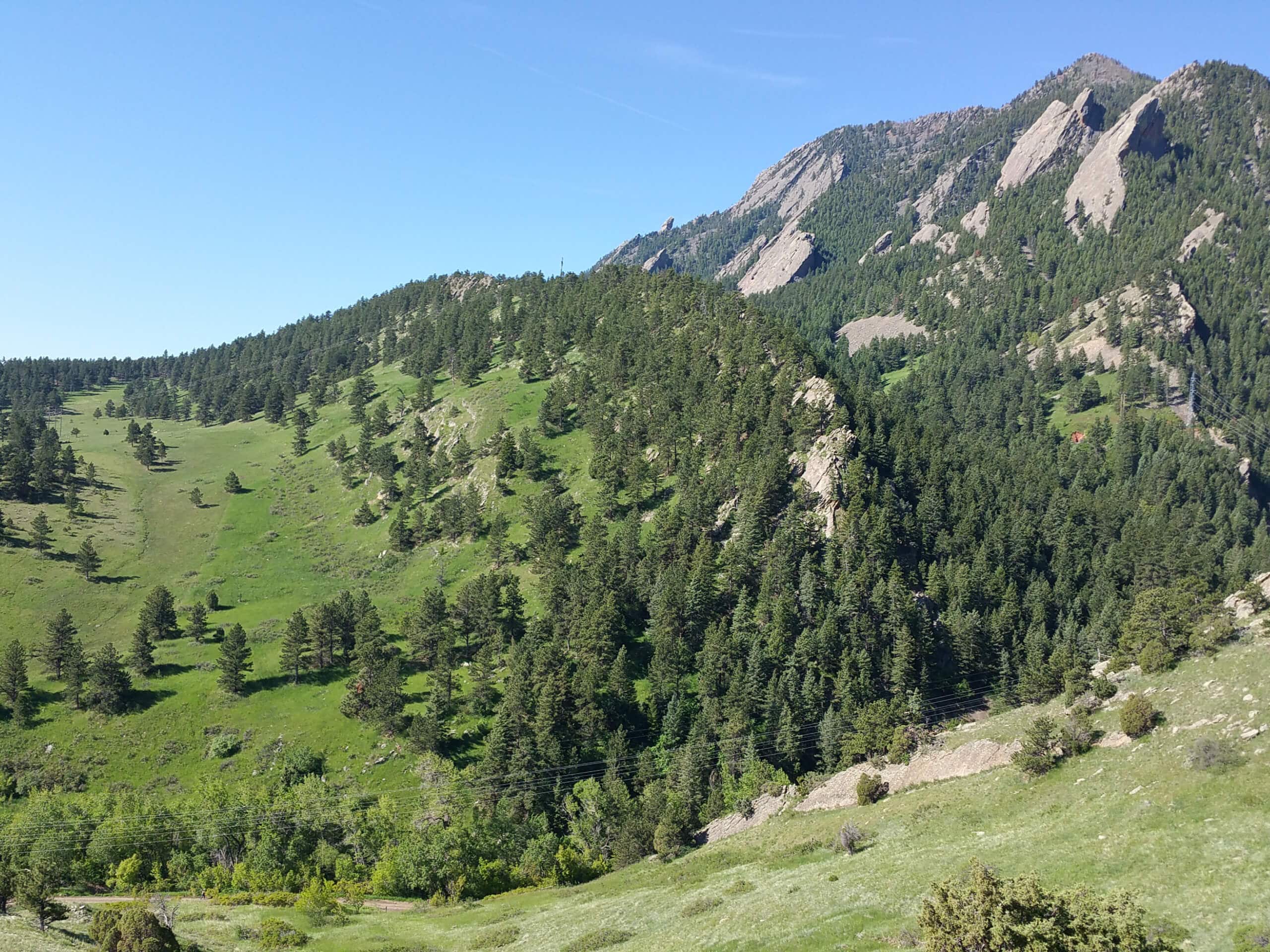
Boulder Mesa Trail
Difficulty Rating:
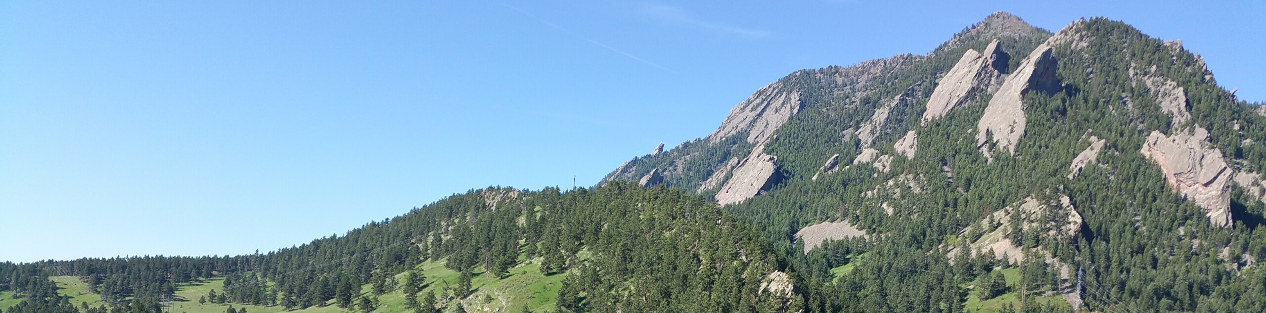
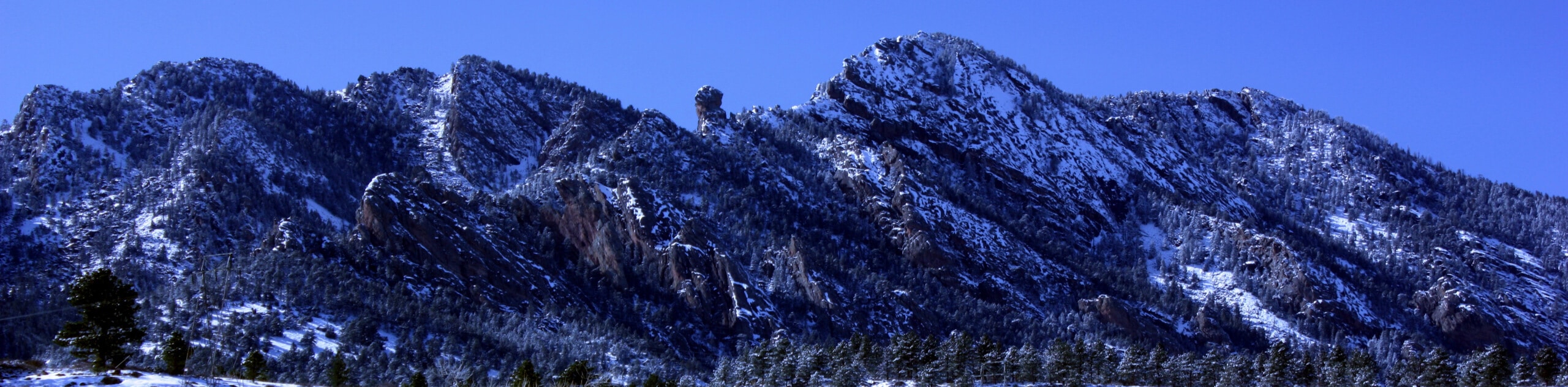
The Boulder Mesa Trail is a stunning adventure along the base of the foothills and the Flatirons. This wonderful adventure exhibits the diversity of the Colorado wilderness as it guides adventurers through grasslands, ponderosa pine forests, and up mesas.
Getting there
The Boulder Mesa Trail departs from the Bluebell Hike Trailhead in Chautauqua Park.

About
| Backcountry Campground | No |
| When to do | Year-round |
| Pets allowed | Yes - On Leash |
| Family friendly | Older Children only |
| Route Signage | Average |
| Crowd Levels | High |
| Route Type | Out and back |
Boulder Mesa Trail
Elevation Graph
Weather
Boulder Mesa Trail Description
The Boulder Mesa Hike is an unassumingly scenic adventure along the foothills. Trek past the famous Flatirons, Bear Peak, and South Boulder Peak along this path. Lengthy, undulating, and technical in sections, this route is reserved for intrepid adventurers seeking to fulfill their walking quota for the month. The beauty of this route is that it can easily be customized to suit your needs and abilities, so if you are feeling tired, simply turn around halfway through or continue hiking if you have some energy left in the reserves!
Embark on your adventure along the Boulder Mesa Trail from the Bluebell Hiking Trailhead. From here, track south along the Bluebell Hiking Trail through the grasslands, which reveal stunning views of the Flatirons. Cross over a gurgling creek before merging onto the Mesa Trail. Hike this path until you meet the intersection with the Woods Quarry Trail. Here, take a detour along this route before reconnecting with the Mesa Trail. Continue south along the path, intersecting with the Bear Creek before passing two of Boulders big three summits—Bear Peak and South Boulder Peak.
Follow the Mesa Trail through the ever-changing terrain to the intersection with the Homestead Trail. If you have a pickup or you dropped a car off at the South Mesa Trailhead then you can hike down to the parking lot, ending your adventure. If you are like us and you left your car in Chautauqua Park, then retrace your footing along the path all the way back to the trailhead.
Similar hikes to the Boulder Mesa Trail hike

NCAR to Fern Canyon Hike
The NCAR to Fern Canyon Hike is an awesome but challenging adventure up to the summit of Nebel Horn. Put…
Bear and South Boulder Peaks Loop
Looking for a demanding but rewarding hike near Boulder? We’ve got you covered. The Bear and South Boulder Peaks Hike…

Rattlesnake Gulch Trail
The Rattlesnake Gulch Trail is an epic adventure through the Eldorado Canyon State Park. Ascend the steep cliffs of Eldorado…
Comments