
Stargaze Point Trail via Beaver Creek Summit
View Photos
Stargaze Point Trail via Beaver Creek Summit
Difficulty Rating:
The Stargaze Point Trail via Beaver Creek Summit is a versatile trail in the Boise National Forest that beckons year-round exploration. The summer months see wonderful hiking and birding opportunities, and in the winter, the route is crowded with snowshoers.
Getting there
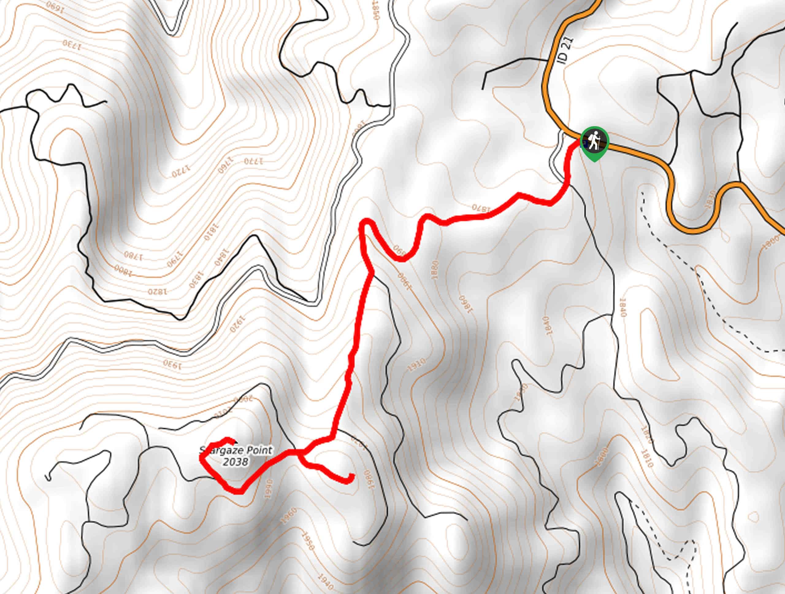
Access this adventure from the Spur 394B Trailhead off the Ponderosa Pine Scenic Route.

About
| Backcountry Campground | No |
| When to do | Year-round |
| Pets allowed | Yes - On Leash |
| Family friendly | Yes |
| Route Signage | Average |
| Crowd Levels | Low |
| Route Type | Out and back |
Stargaze Point Trail via Beaver Creek Summit
Elevation Graph
Weather
Stargaze Point Trail via Beaver Creek Summit Description
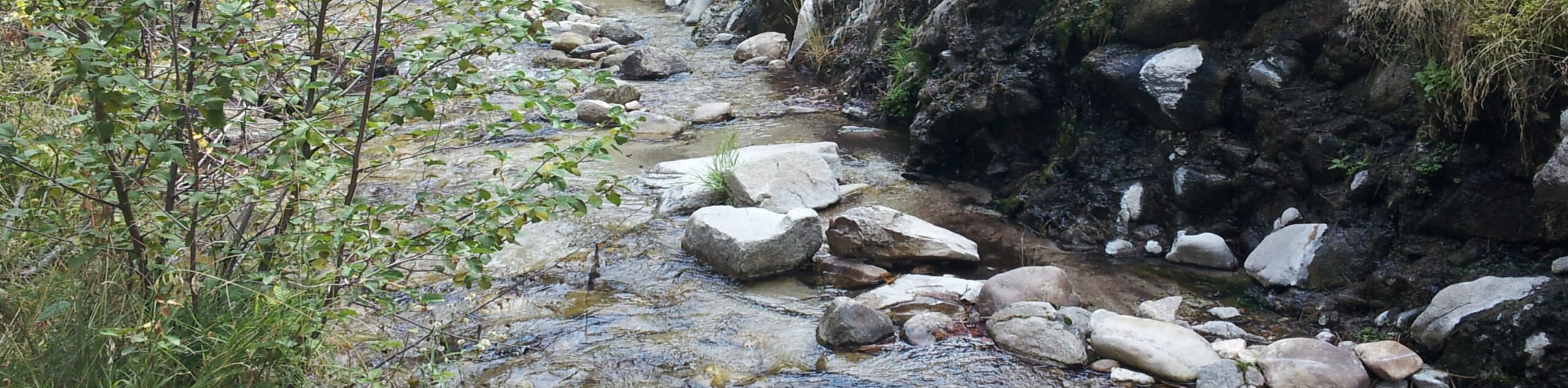
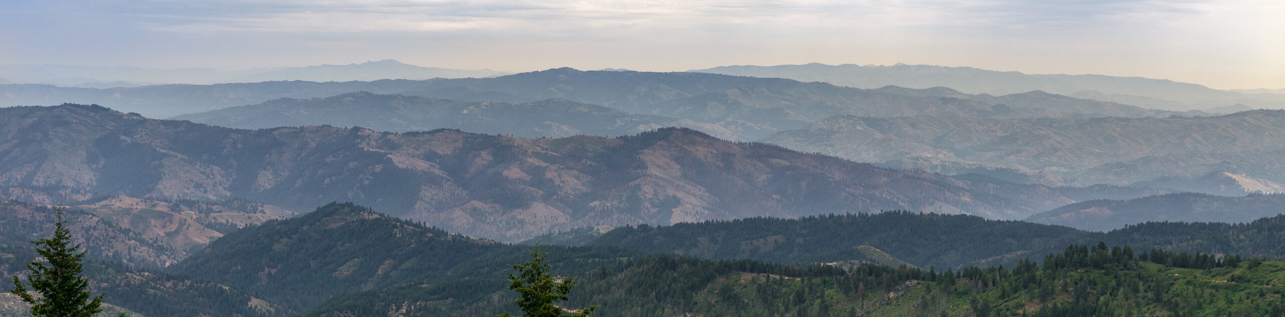
The Stargaze Point Trail via Beaver Creek Summit is a wonderful adventure worth adding to your Boise National Forest itinerary. While this route offers great hiking and birding opportunities in the summer season, the winter months are when this path comes to life with snowshoers. No matter the season, the mesmerizing views of the Boise Mountains and the rugged Sawtooth Mountain Range will not disappoint. As much of the terrain is exposed, plenty of water and sun protection is necessary for warm weather and cold.
Your high-country hike departs from the Spur 394B trailhead off Ponderosa Pine Scenic Route. Setting out from here, the Spur Trail will guide you westwardly. Gently climbing, the path will begin to wind, alternating through grasslands and thickets of pines. Now traveling south, there will be plenty of merging and intersecting paths maintain along the Spur 394B Trail. After some hiking, you will take a quick detour east to a Yurt overlooking the rugged Rocky Mountains that command the eastern landscape.
From here, head west over to Stargaze Point, which boasts awe-inspiring scenery of the mountainous wilderness below. Admire the contrast between the rolling Boise Mountains and the craggy Sawtooth Mountains. When you are through ogling the vista, head back to the trailhead the way you came.
Similar hikes to the Stargaze Point Trail via Beaver Creek Summit hike
Moondipper Hot Spring and Pine Burl Hot Spring Hike
The Moondipper Hot Spring and Pine Burl Hot Spring Hike is a family-friendly adventure beckoning your exploration. Wander along the…
Station Creek Trail
The Station Creek Trail is a hidden treasure in the Boise National Forest. This lovely path explores shaded pine forests…
Mores Mountain Loop Trail
Sometimes all you need is a short, scenic hike, and the Mores Mountain Loop Trail offers just that. Wander around…
Comments