
Shaw Mountain Hike
View Photos
Shaw Mountain Hike
Difficulty Rating:
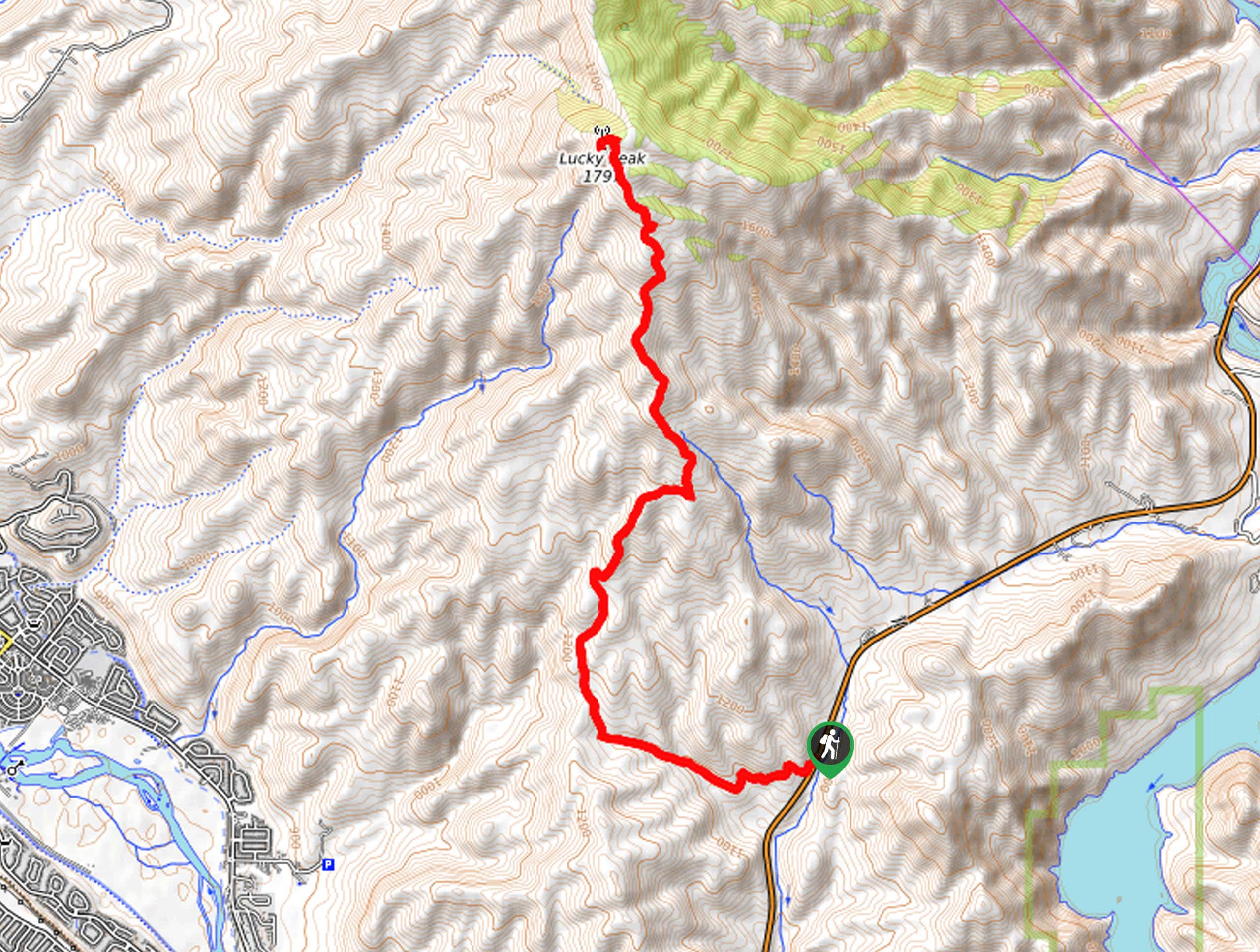
Hike one of Boise’s famed ‘Grand Slam Peaks’ on the Shaw Mountain Trail. Shaw Mountain, otherwise known as Lucky Peak, rises above Boise at an elevation of 5098ft, demanding a modest climb through moorlands abundant with a diversity of flora and fauna.
Getting there
The Shaw Mountain Hike follows the East Highland Valley Road which is found off E Highway 21.

About
| Backcountry Campground | No |
| When to do | Year-round |
| Pets allowed | Yes - On Leash |
| Family friendly | Older Children only |
| Route Signage | Average |
| Crowd Levels | Moderate |
| Route Type | Out and back |
Shaw Mountain Hike
Elevation Graph
Weather
Shaw Mountain Hike Description
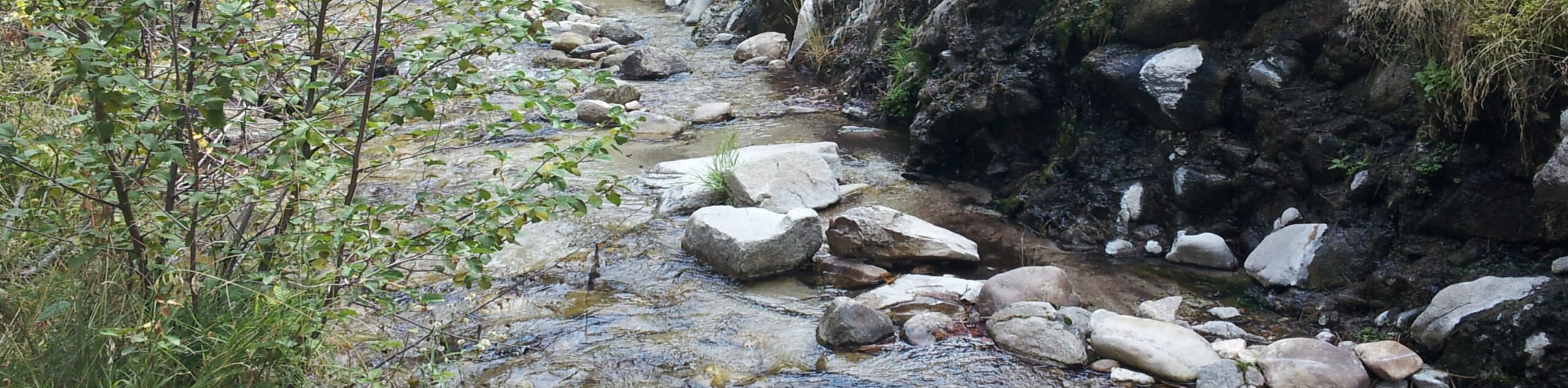
Enjoy a rewarding day-hike as you adventure the Shaw Mountain Trail. This pleasant path explores the lush grasslands abundant with wildflowers and sagebrush, elk, and deer. As one of the ‘Grand Slams’, this route sees plenty of traffic, so expect some company. Whether you are seeking a more tranquil experience or not, we encourage you to head out in the early morning to avoid the rush and beat the heat! Pack plenty of water and wear sun protection to avoid overexposure on this exposed mountainside.
Setting out from the car park off E Highway 21, the Shaw Mountain Hike begins to climb along the East Highland Valley Road. Traveling westward, the path will climb into the pasturelands and, after some hiking, will deliver you to an intersection. Here, turn right, and you will be diverted north onto the East Shaw Mountain Road. Alternating through grasslands and low-lying shrubs, you will be granted impressive views of the surrounding Boise Mountains. Following the same route, the terrain will become increasingly forested as you near the peak.
From atop Lucky Peak, the views of Boise and the nearby forested foothills will render you speechless. Admire the panoramic vista, snap a few photos, then head back down the mountainside the way you came.
Similar hikes to the Shaw Mountain Hike hike
Moondipper Hot Spring and Pine Burl Hot Spring Hike
The Moondipper Hot Spring and Pine Burl Hot Spring Hike is a family-friendly adventure beckoning your exploration. Wander along the…
Station Creek Trail
The Station Creek Trail is a hidden treasure in the Boise National Forest. This lovely path explores shaded pine forests…
Around the Mountain Hike
Enjoy a different perspective of Bogus Basin along the Around the Mountain Hike. What is a bustling ski resort in…
Comments