
Lost Man Trail hike
View Photos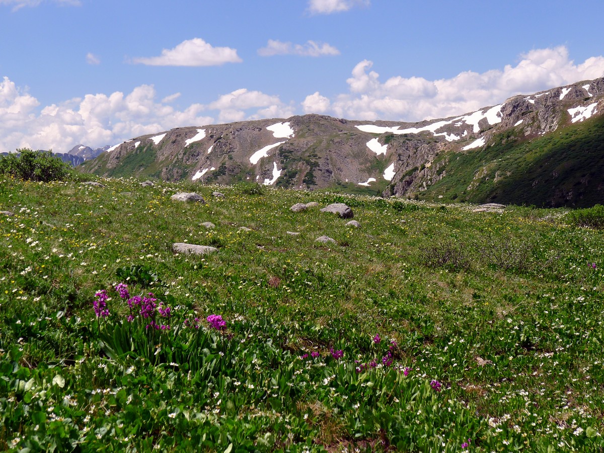
Lost Man Trail hike
Difficulty Rating:
This is another super high hike in the Colorado Rockies; however, access in on the high Independence Pass Highway reduces the elevation you have to gain yourself!
Getting there
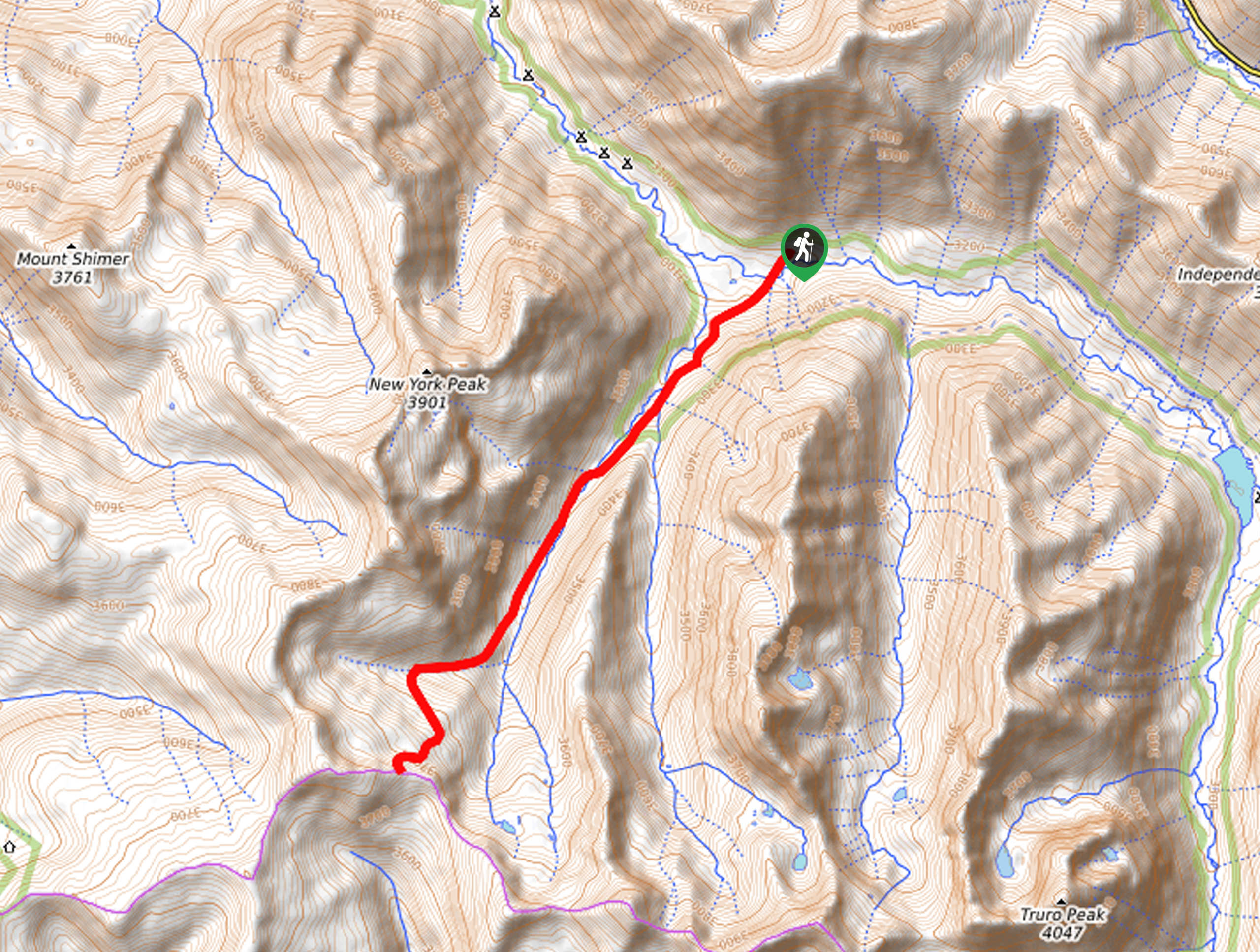
From Aspen, head east on Colorado 82 for 17.5mi. At the switchback before Independence Pass there’s a dirt pullout on the north (left) side of the road. There is an area for parking there. If you get to Independence Pass, you’ve gone one too far.

About
| When to do | Late June through September |
| Backcountry Campsites | In the National Forest Wilderness |
| Toilets | No |
| Family friendly | No |
| Route Signage | Average |
| Crowd Levels | Moderate |
| Route Type | Out and back |
Lost Man Trail
Elevation Graph
Weather
Route Description for Lost Man Trail
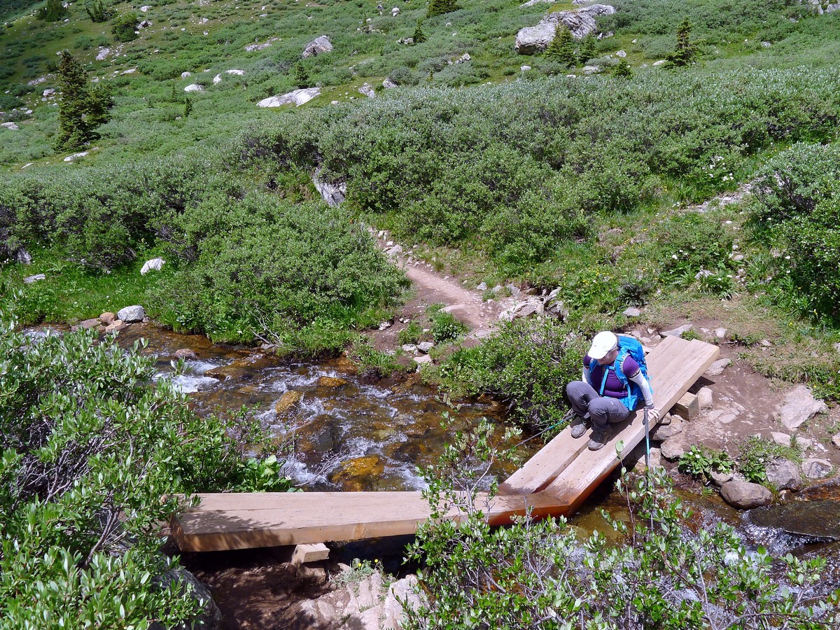
Find the beginning of the trail right at the nearly hairpin bend of the road’s switchback. Climb a short ways up to the Roaring Fork River. Once you reach a small plateau you will encounter a trail junction where you will keep right to head towards Independence Lake and the Lost Man Trail.
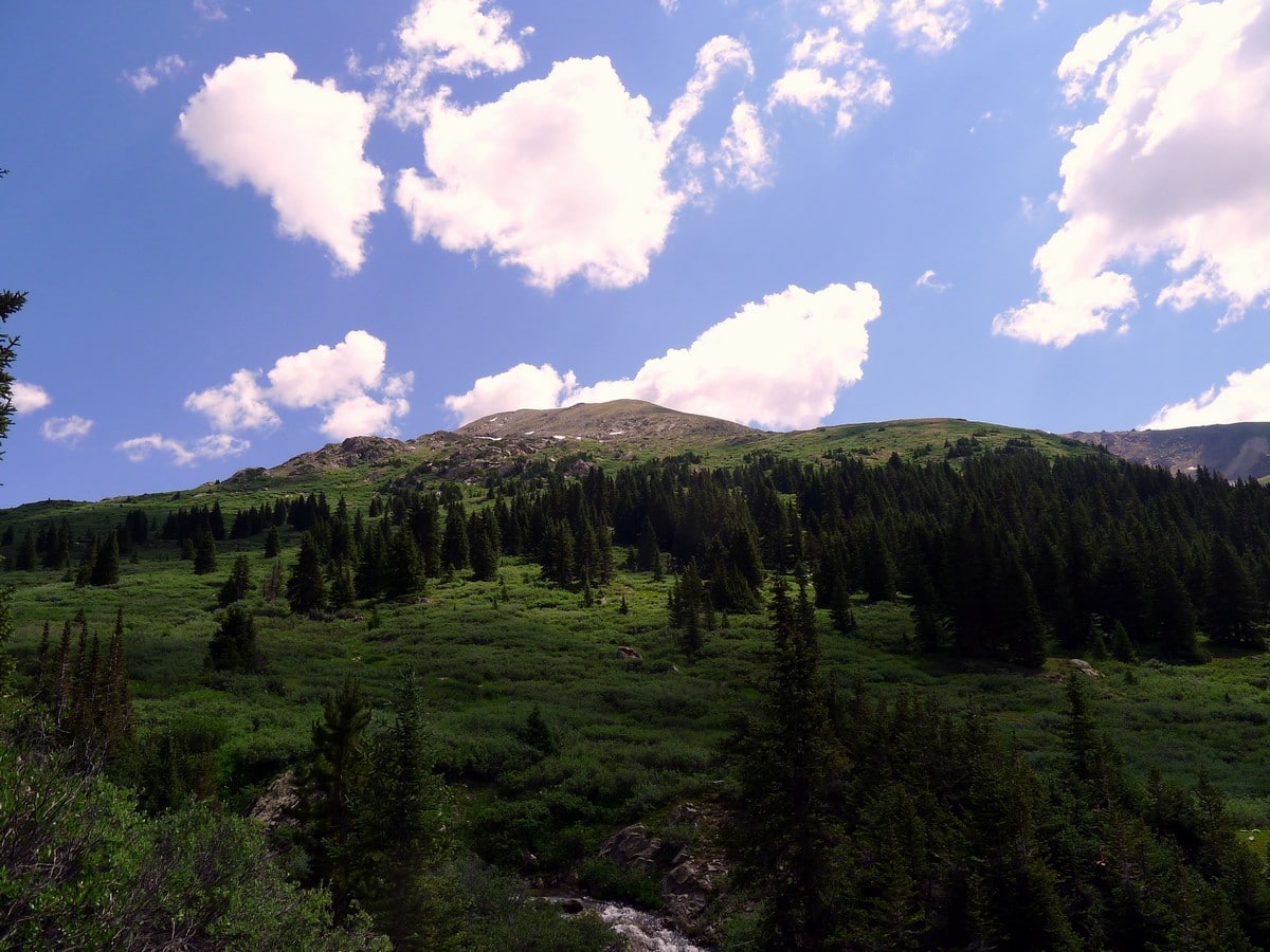
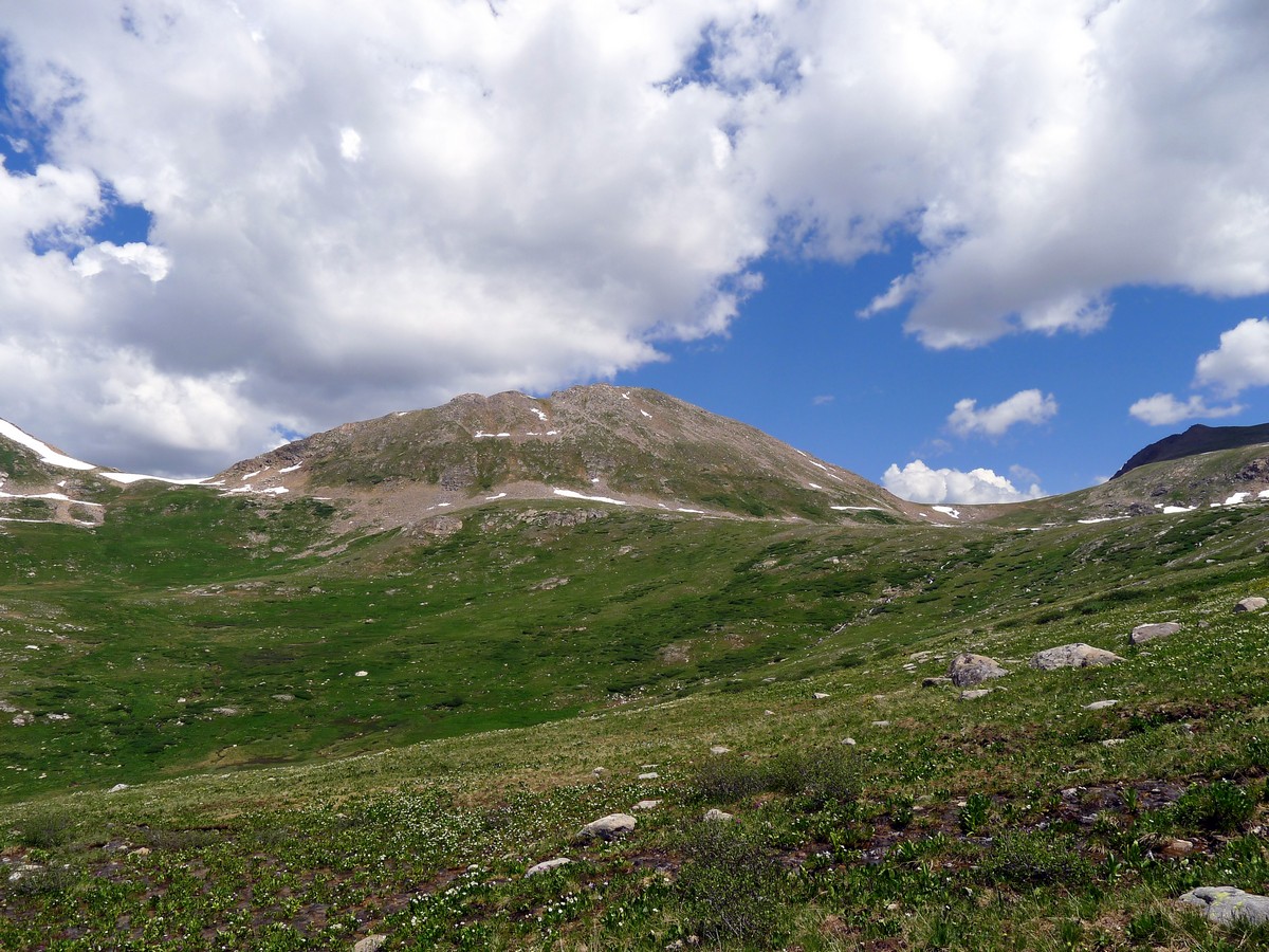
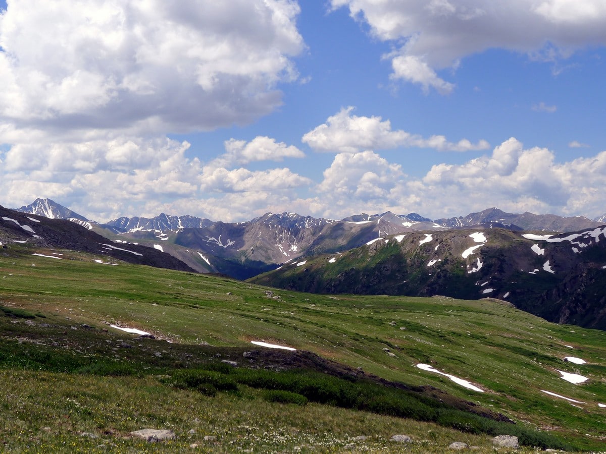
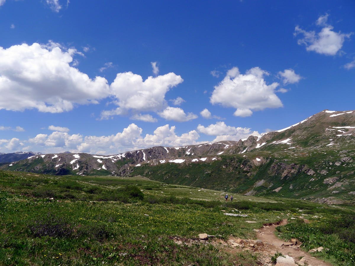
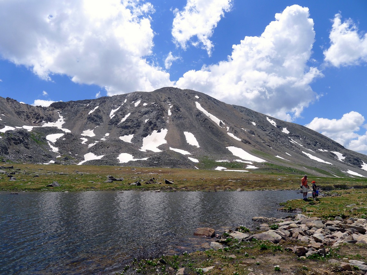
The trail will follow the Roaring Fork River as it ascends the beautiful, lightly wooded alpine valley. Depending on the season, you may be surrounded by gorgeous wildflowers. The views and peaks that surround you are sure to provide plenty of mental stimulation to keep you motivated.
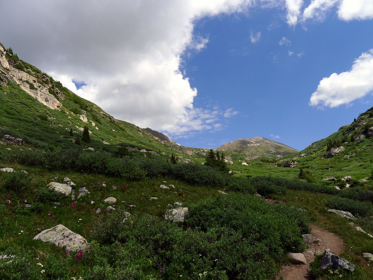
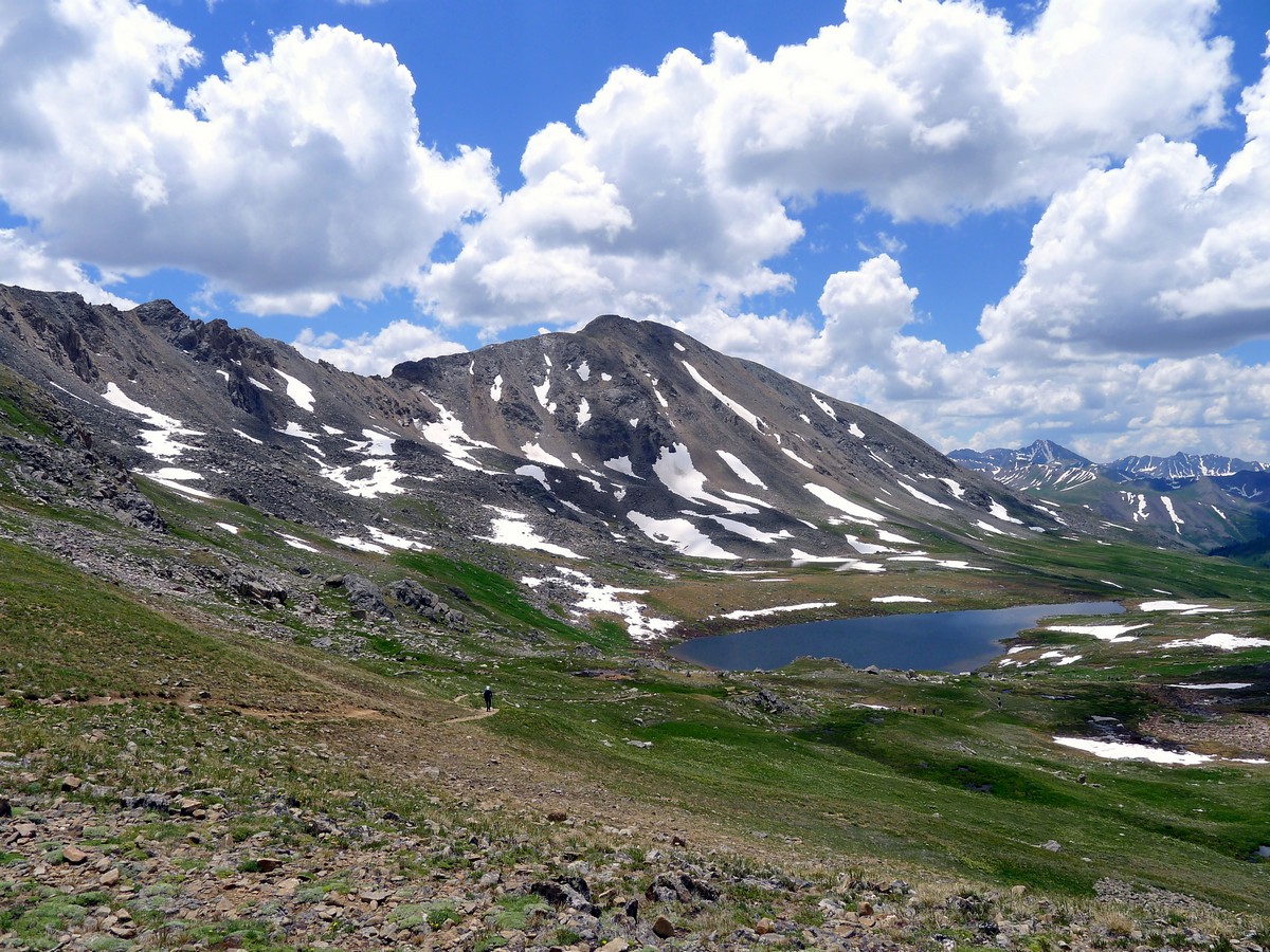
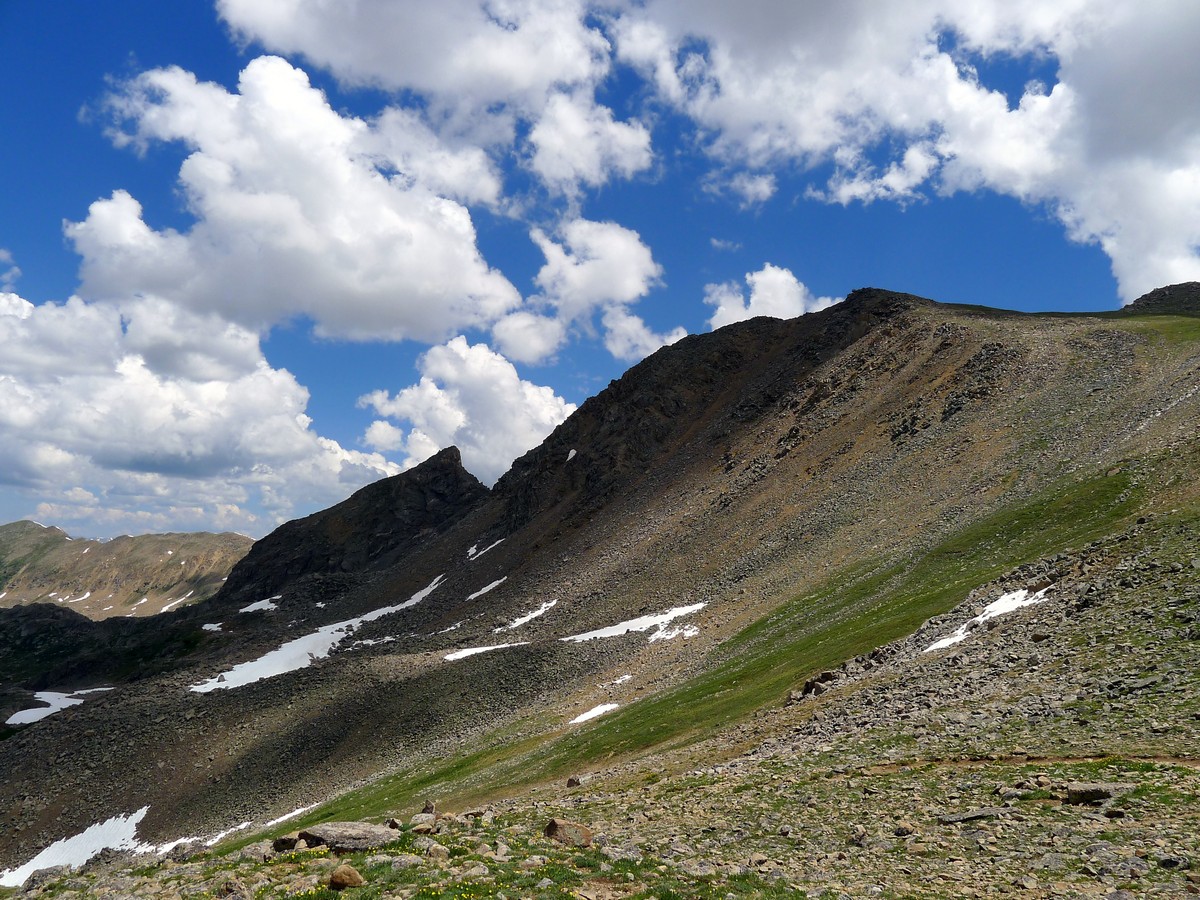
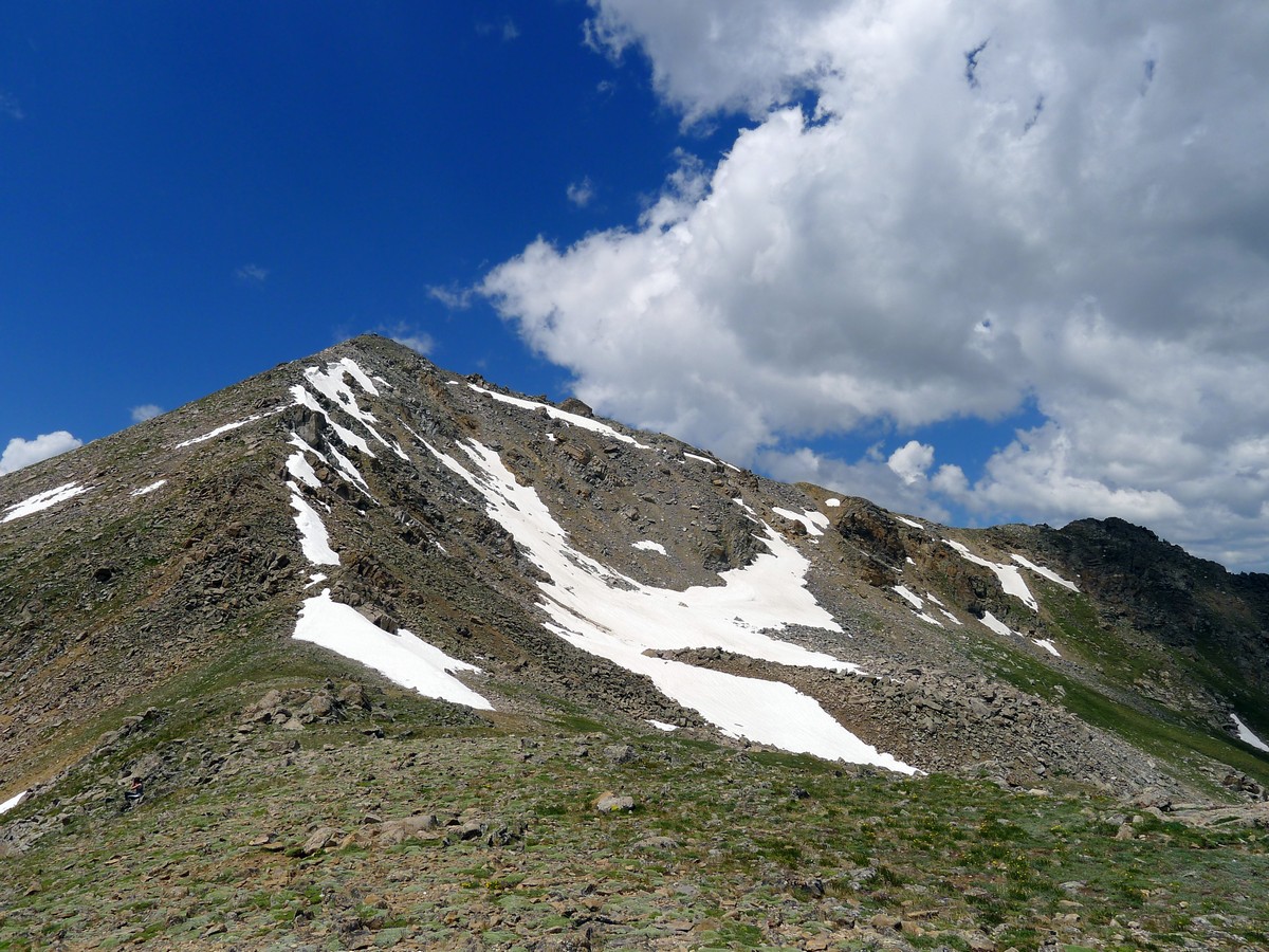
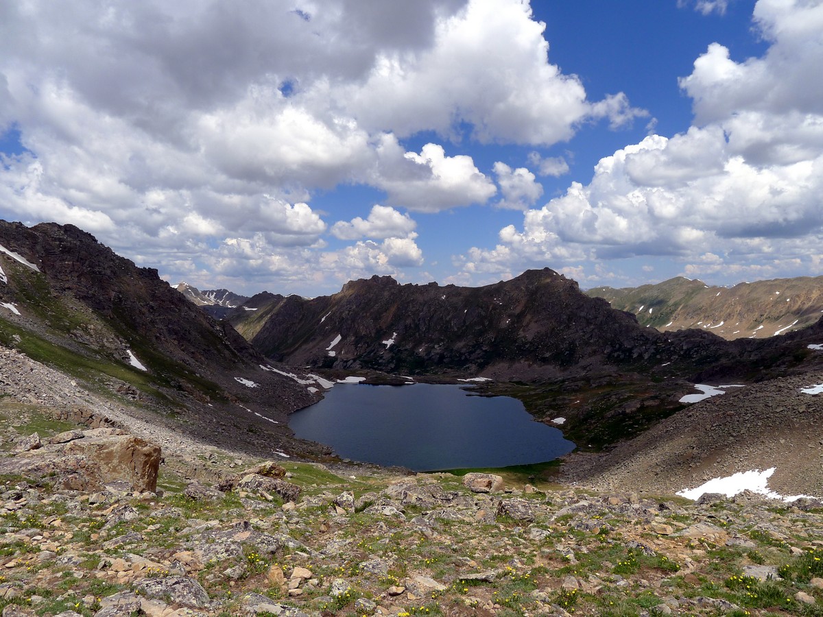
Ahead of you is the imposing Geissler Mountain will fill the horizon, and on the right you will see Twinning Peak and its impressive, expansive ridges. After gaining a few false plateaus you will finally arrive at Independence Lake, at the far edge of the valley.
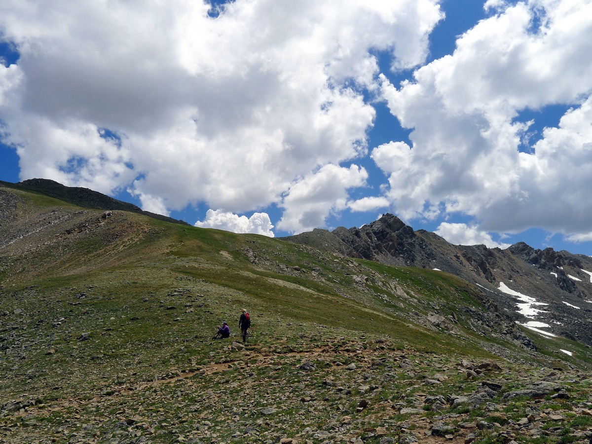
Continue hiking past the crystal blue lake and up the ridge to Lost Man Pass. From the pass you will be able to peer into the adjacent valley, and you’ll be able to look down to Lost Man Lake. The trail continues down the other way, but this is your endpoint for today. Return the way you came after enjoying the splendid views.
Insider Hints
The Lost Man loop is a popular one night backpacking trip. It’s great if you are looking for a longer experience in the region.
Take care as this hike is at quite a high elevation. If you ever don’t feel well get to a lower elevation as quickly and as safely as possible.

Similar hikes to the Lost Man Trail hike
New York Creek Trail
The New York Creek Hike is a stunning adventure through Colorado’s high country. Featuring lush woodlands, expansive meadows, and mountain…
East of Aspen Trail
The East of Aspen Trail is a great escape into nature. Conveniently located near the city center, this trek is…
Montezuma Basin Trail
The Montezuma Basin Trail is an epic hike that attracts outdoor enthusiasts of all sorts. Hike, bike, or drive the…
Stevie M 4 years ago
I am accompanied by a family of 7 mountain goats who ended up spending 3 hours with me. It was awesome!
Jane Lewitt 4 years ago
Enjoyable on the way up. Perfect view from the top, really breathtaking!
Jericho D. 5 years ago
I love this hike. Glad there was a highway, to easily access the trail. So cool!
Jasper Herrera 5 years ago
Nice out and back. Pretty cool views with minimal effort.
Kelsi Honet 5 years ago
I would recommend this trail to anyone. I enjoyed going up. The view is definitely a sight to behold.
Jay Adams 5 years ago
Breathtaking view of the surroundings. A moderate hike for everyone. Just be careful of the inclines.
Ruel Z. 5 years ago
Enjoyed the fun hike through the wooded alpine valley. It was really calm and relaxing.
Digi K. 5 years ago
The environment was great for nature lovers like me. There were a great variety of wildflowers and lovely trees.
Earl M. 5 years ago
Gorgeous lake.The view at the top is also top-tier. Would definitely go back again.
Dana Glob 5 years ago
i've only done the shorter version, not to climb too much. but i see why people were recommending it. it is remarkable.