
Difficult Creek Trail
View Photos
Difficult Creek Trail
Difficulty Rating:
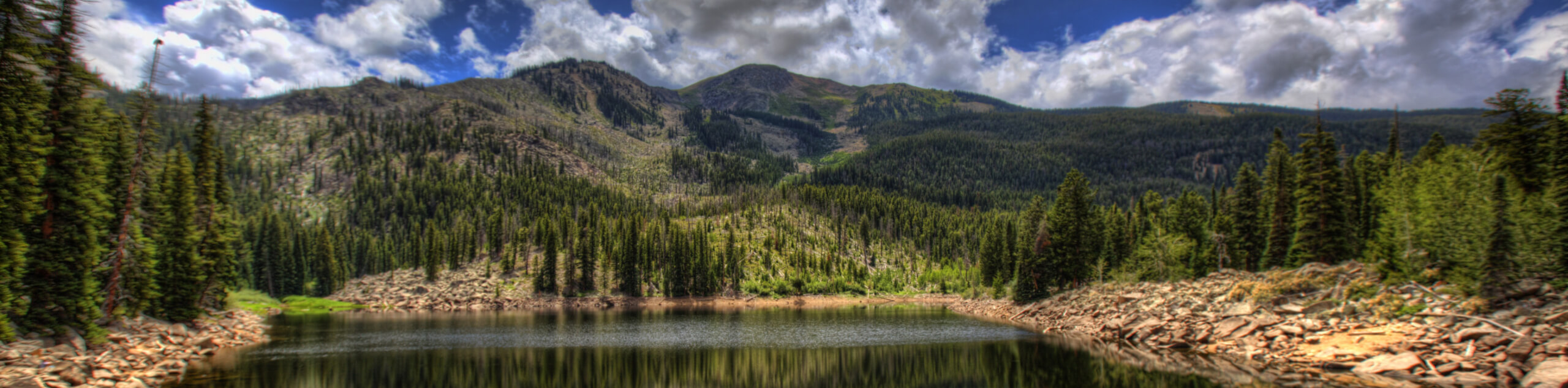
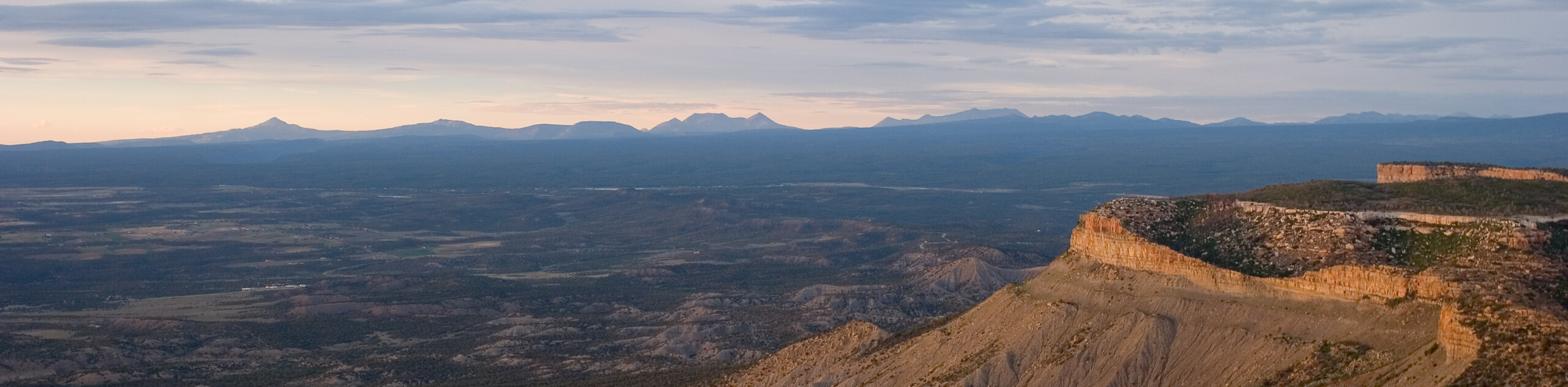
There is nothing better than a scenic, peaceful nature walk, right? Well, the Difficult Creek Trail presents the ideal environment for a relaxing meander through enchanting woodlands along a picturesque creek. Don’t forget to charge up your phone, the stunning scenery is very Instagram-able.
Getting there
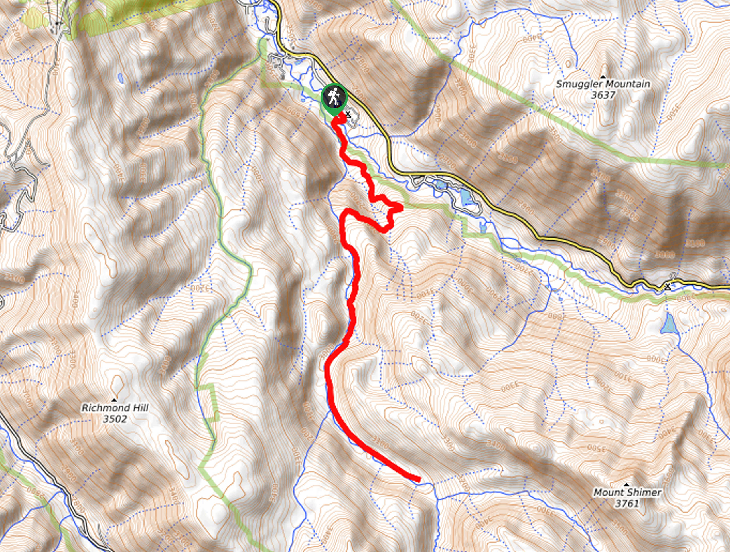
The Difficult Creek Trail departs from the Difficult Creek Campground off State Highway 82.

About
| Backcountry Campground | Difficult Campground |
| When to do | June-September |
| Pets allowed | Yes - On Leash |
| Family friendly | Older Children only |
| Route Signage | Average |
| Crowd Levels | Moderate |
| Route Type | Out and back |
Difficult Creek Trail
Elevation Graph
Weather
Difficult Creek Trail Description
Escape the stress of the real world and reconnect with nature along the Difficult Creek Trail. Traveling through towering, dense pines and aspen groves, the vegetation along this path provides great shade. With ample water access, this trek is ideal for your pup too—on a hot day they can even cool off in the chilly alpine creek waters. Note that sections of this trail are rocky, so make sure to wear sturdy footwear to mitigate the chances of a rolled ankle.
Your trek along the Difficult Creek Road begins at the trailhead in the Difficult Creek Campground. From here, hikers will be guided southeast along the Difficult Creek Trail, intersecting with several streams before entering the Collegiate Peaks Wilderness. Gradually climbing from the trailhead, the path will eventually divert you south through dense woodlands interspersed with the odd aspen grove. Enjoy the verdant flora and keep an eye out for mountain views peeking through tree breaks.
As you walk, let the relaxing sounds of the running waters and the picturesque sights distract you. You will ultimately meet the trail’s end in a mountain basin. Here you will be granted views of Mount Shimer in the east, and Richmond Hill in the west. When you are ready to head back, retrace your footing along the path all the way back to the trailhead.
Similar hikes to the Difficult Creek Trail hike
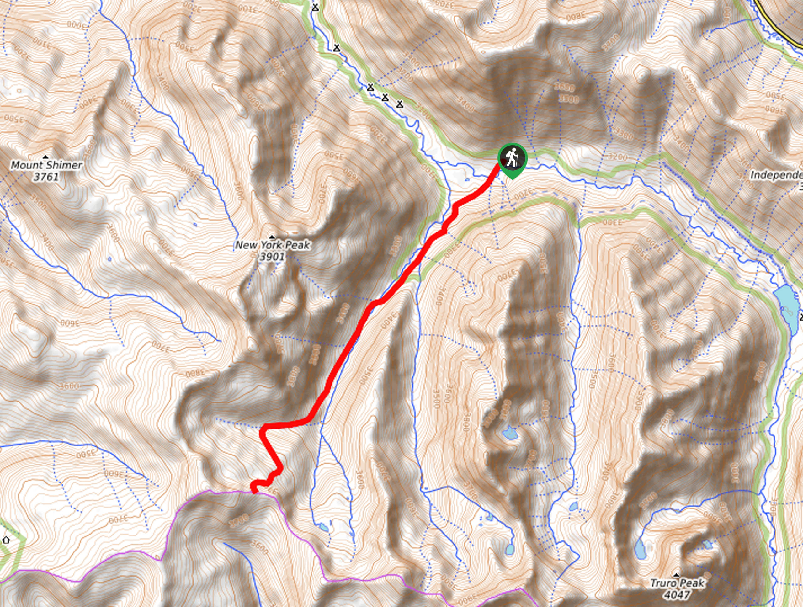
New York Creek Trail
The New York Creek Hike is a stunning adventure through Colorado’s high country. Featuring lush woodlands, expansive meadows, and mountain…
East of Aspen Trail
The East of Aspen Trail is a great escape into nature. Conveniently located near the city center, this trek is…
Montezuma Basin Trail
The Montezuma Basin Trail is an epic hike that attracts outdoor enthusiasts of all sorts. Hike, bike, or drive the…
Comments