
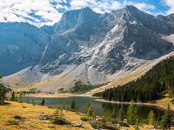
Weary Creek backpacking trail
View Photos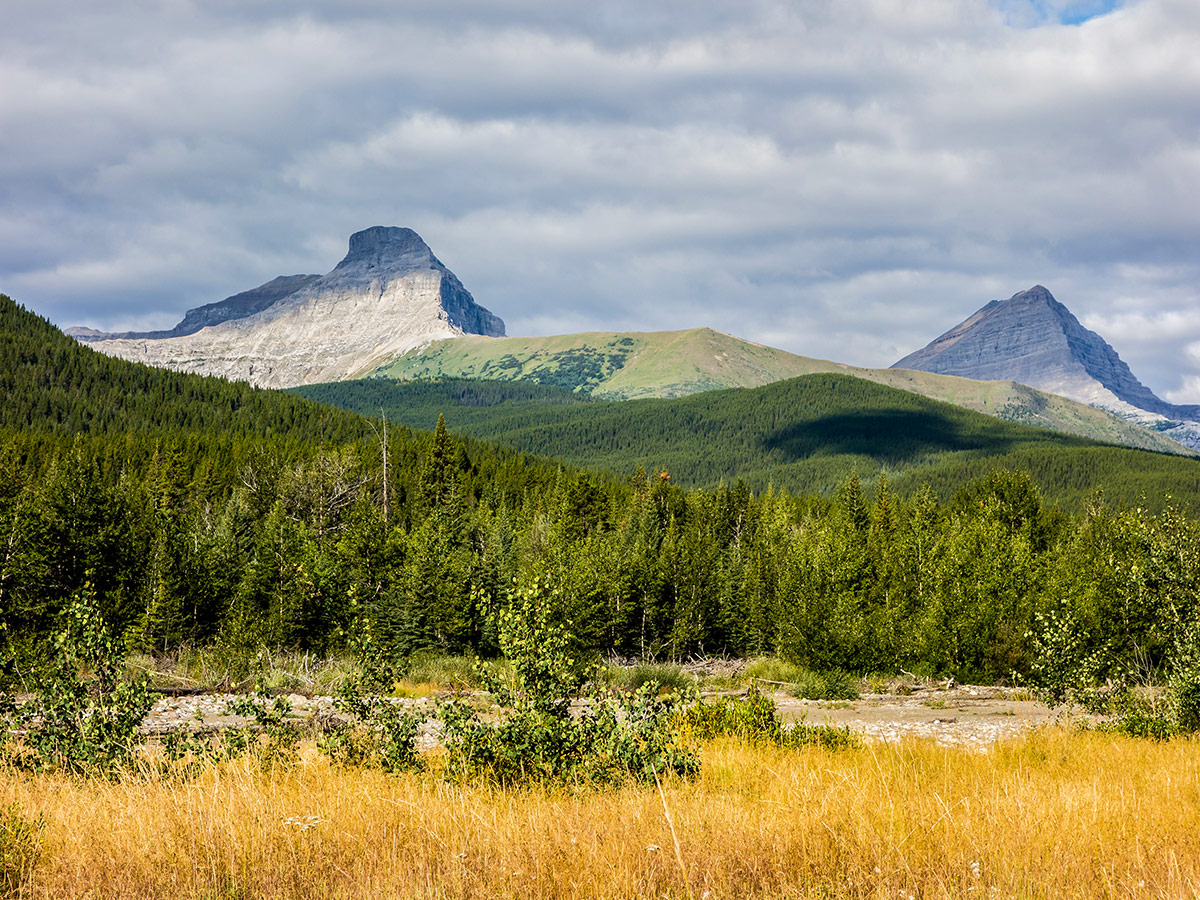
Weary Creek backpacking trail
Difficulty Rating:
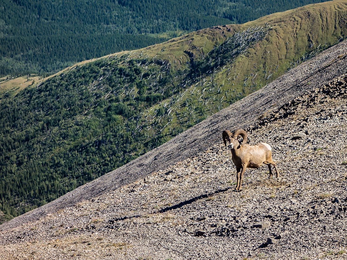
A backpacking trip to Weary Creek Gap and Carnarvon Lake offers a truly wild experience in the Canadian Rockies. This is a very challenging trip, so you should be experienced in route finding and random camping. There are no official campsites in the area, so you are free to random camp where you see fit! This trip offers plenty of opportunity for scrambling, wildflower viewing, and overall sightseeing.
Getting there
From Calgary, head south on Highway 22. Just before Longview take a right onto Highway 40. Follow Highway 40 for about 30.4mi, and then turn left into Cat Creek Recreation Area. You can also access Cat Creek by driving south on Highway 40 from the TransCanada for 61.5mi.

About
| When to do | Late June - September |
| Mountain Huts | None |
| Backcountry Campsites | Random Camping Only |
| Toilets | At trailhead |
| Pets allowed | Yes |
| Accommodation Type | Tent |
| Family friendly | No |
| Route Signage | None |
| Crowd Levels | Low |
| Route Type | Out and back |
Weary Creek
Elevation Graph
Weather
Route Description for Weary Creek
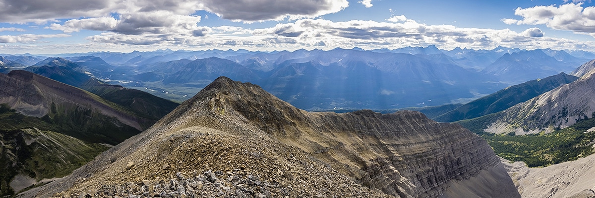
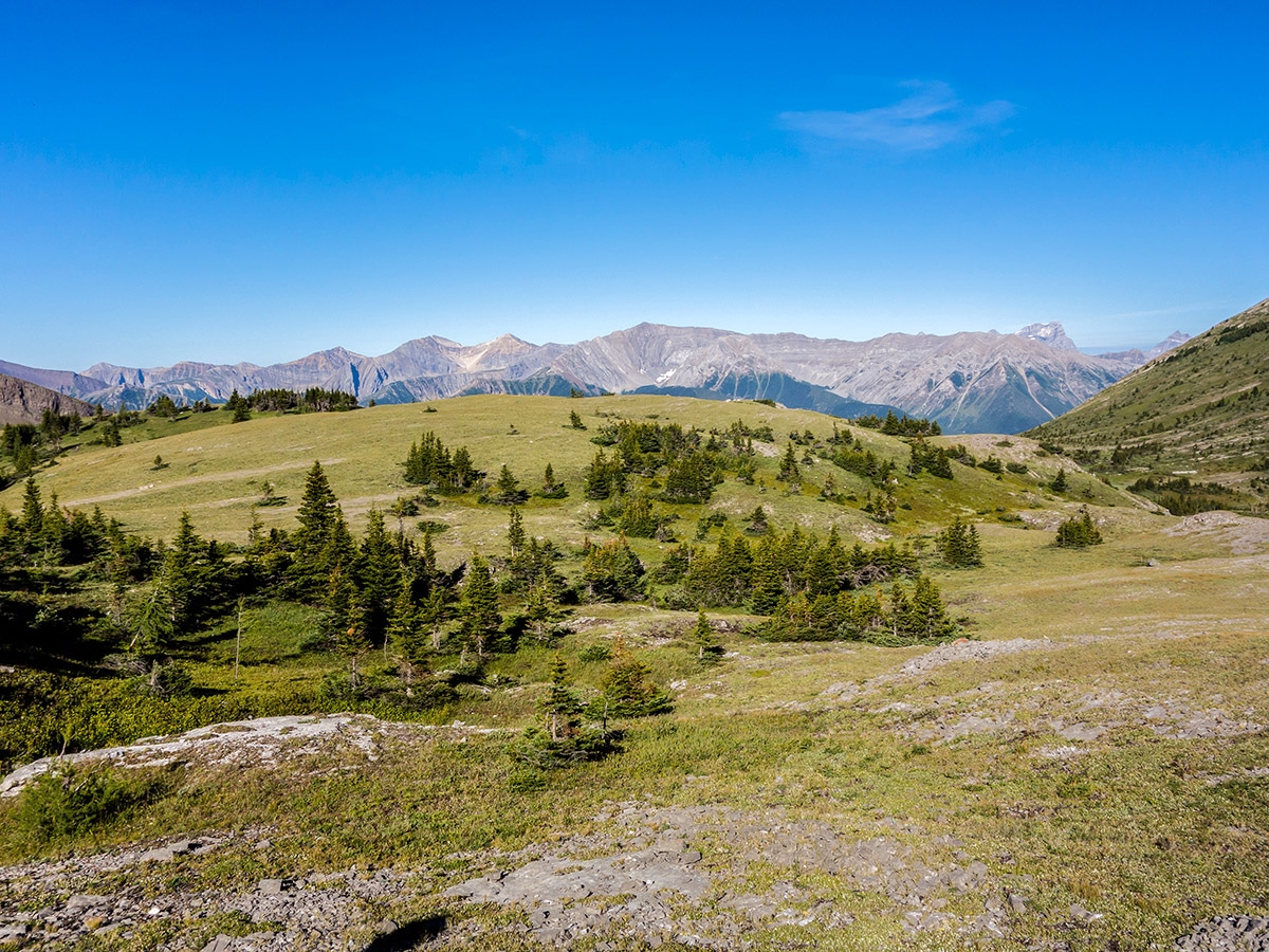
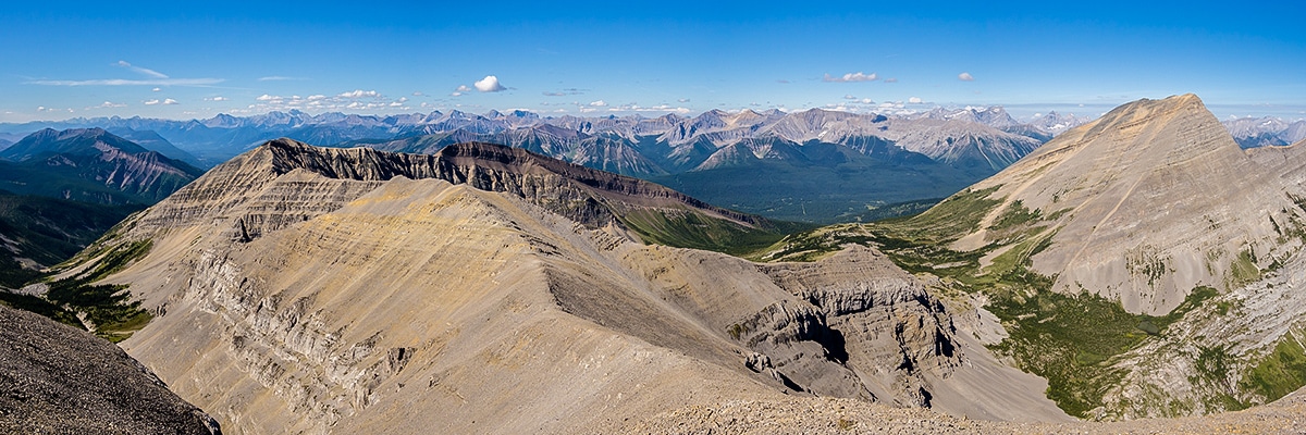
Taking in one of the best parts of the Elk Highline backpacking trail, this backpacking trip to Weary Creek and Carnarvon Lake is a remote trip. If you are experienced in navigation, following game trails and want to escape other people while in a very pretty part of the Kananaskis, then this may be the trip for you. This trip is also great as it allows you to get in a couple of scrambles as part of the route.
Note that the descent on the Carnarvon Lake Headwall has substantial exposure. While there are chains, some backpackers find the exposure too extreme, and choose to backpack back to Weary Creek Gap rather than descend.
Day 1
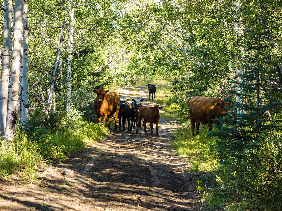
From the Cat Creek Recreation Area, take the Hill of Flowers Trail along McPhail Creek. This trail is not well marked, but if you keep hiking on the right side of the Highwood River, you will be on the correct route. After about 20-30 minutes you will need to ford the Highwood River. Early in the season this can be challenging, however once the spring run-off is gone, then this becomes easier, though can still be challenging.
Soon after the ford, and 1.7mi from starting off, the path splits. Go left and stay on the Hill of the Flowers Trail. You are walking to the right of McPhail creek as you head west here.
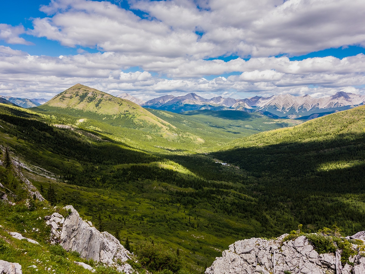
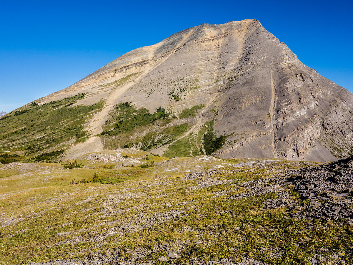
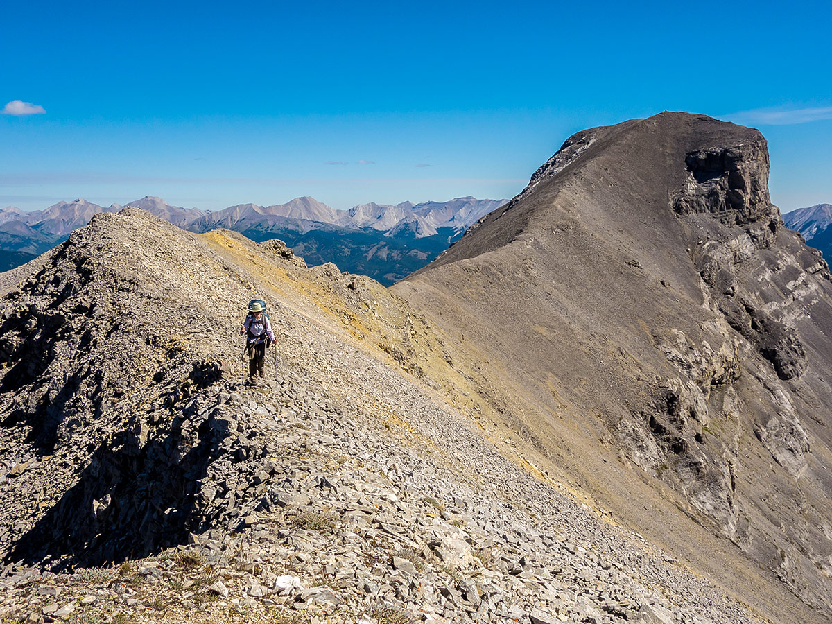
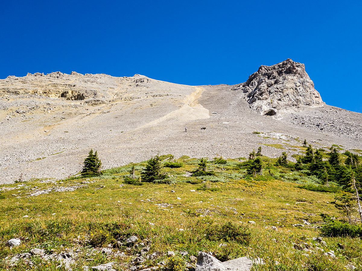
At roughly 4.1mi you will reach a junction with Muir Creek. Go right and follow the path and in 0.9mi pass a campsite. In another 1.6mi you come to the turnoff for the Lake of the Horns Trail goes off to the right. Go left for Weary Gap. Take the left trail for 1.2mi until you reach Weary Creek Gap. Set up camp where you please and scramble up Mount McPhail if you like.
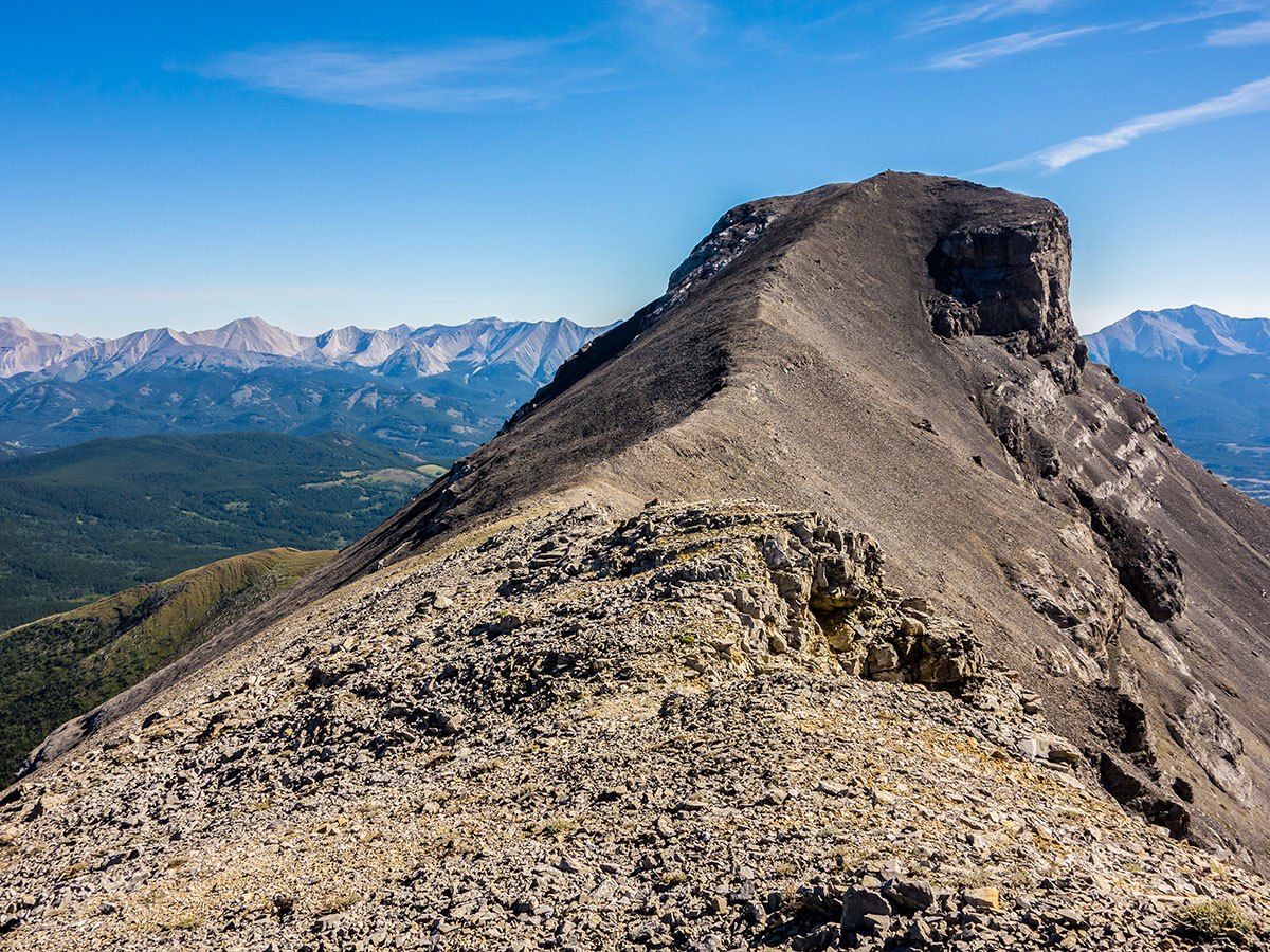
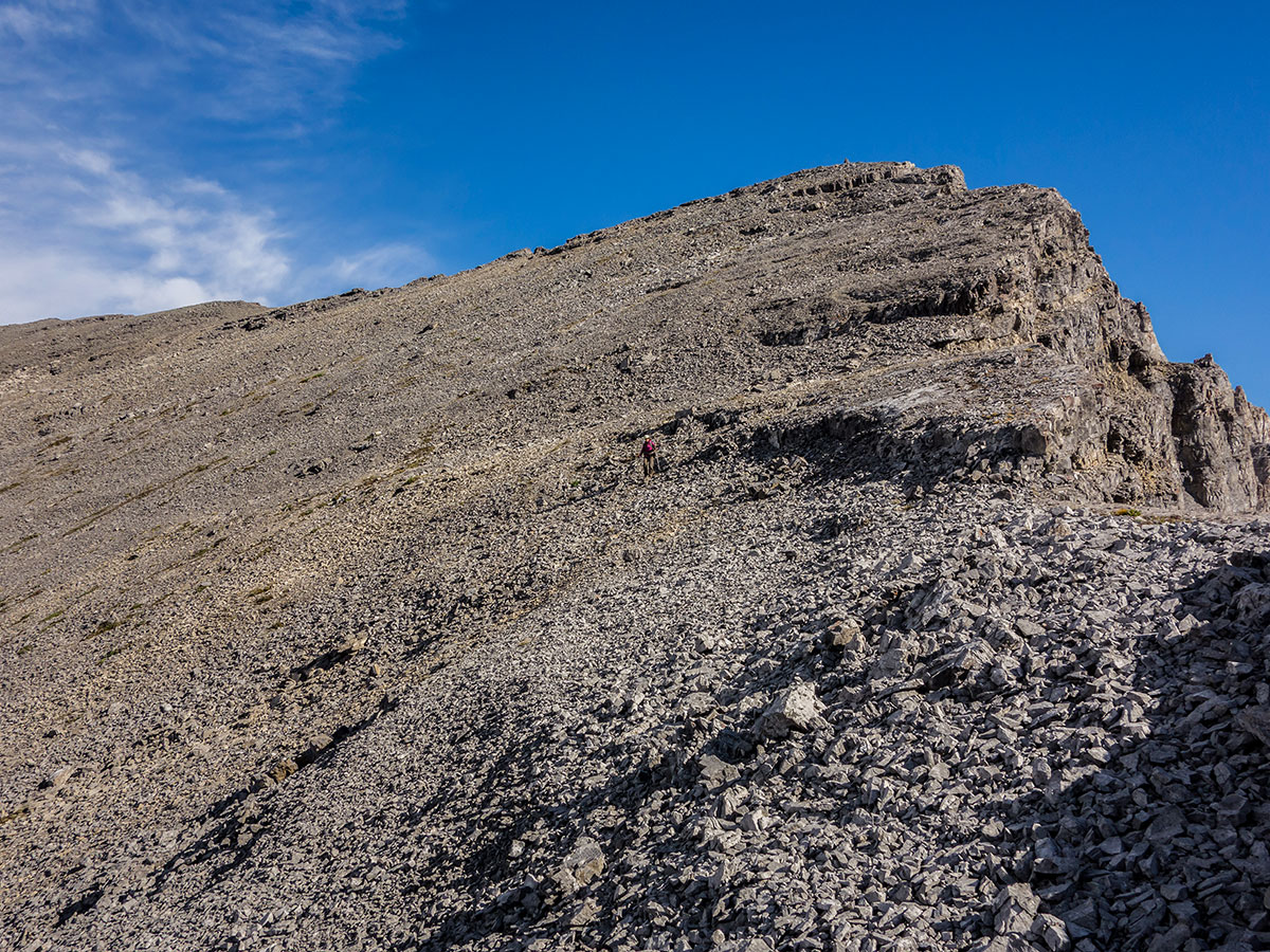
The scramble route up Mount McPhail is rated easy yet requires route-finding and lots of scree to reach the summit. This is a very tough ‘Easy’ scramble in our opinion. This scramble gains 2297ft but is a lot harder than it looks. Once at the top, there are fantastic views and is a rewarding way to end your first day of hiking.
Day 2
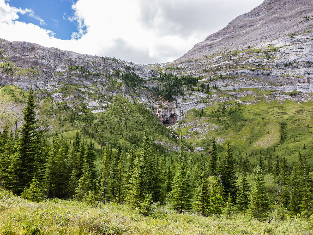
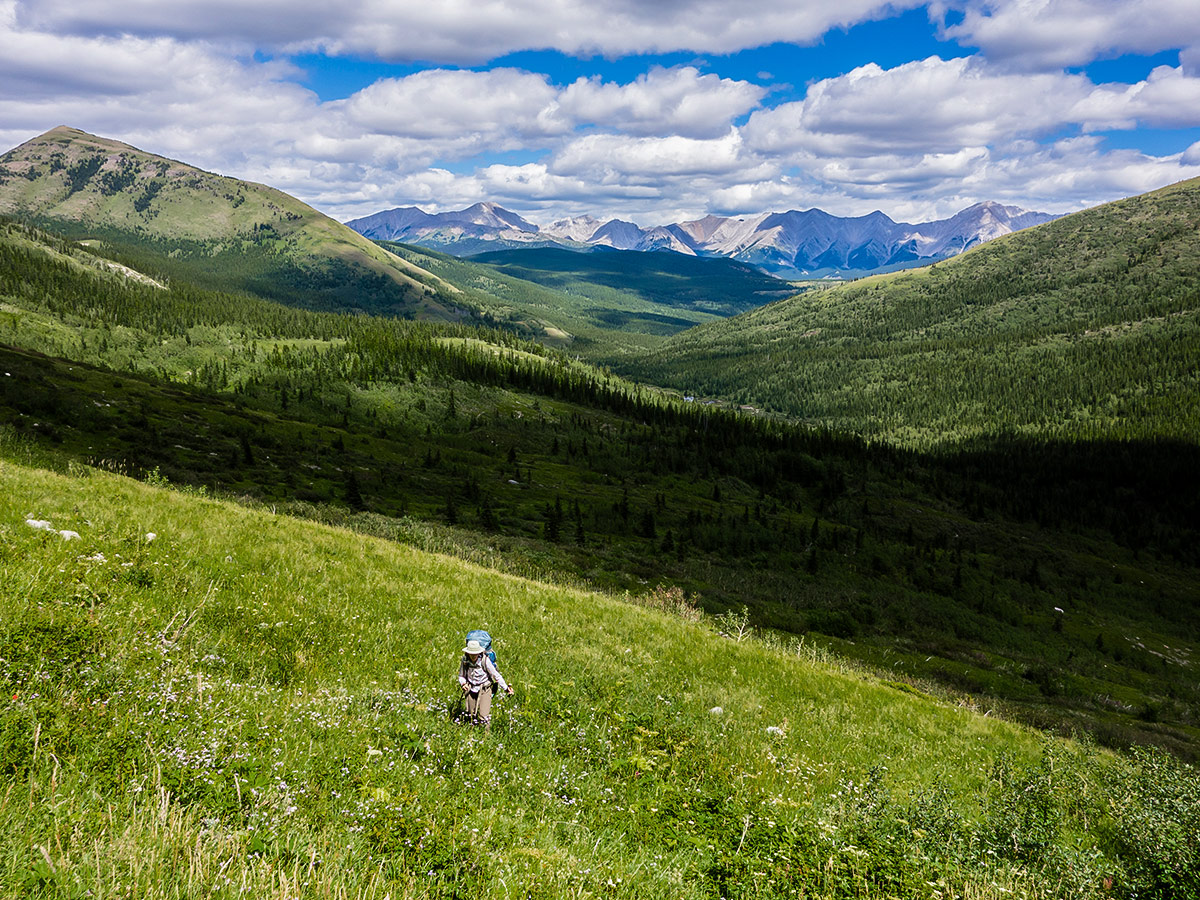
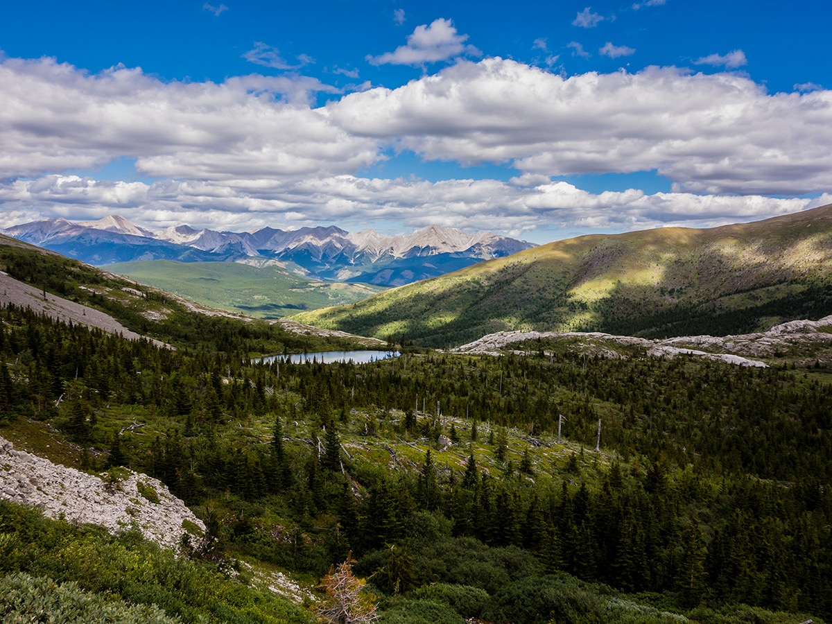
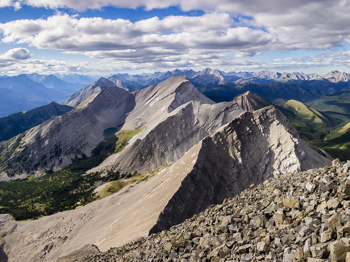
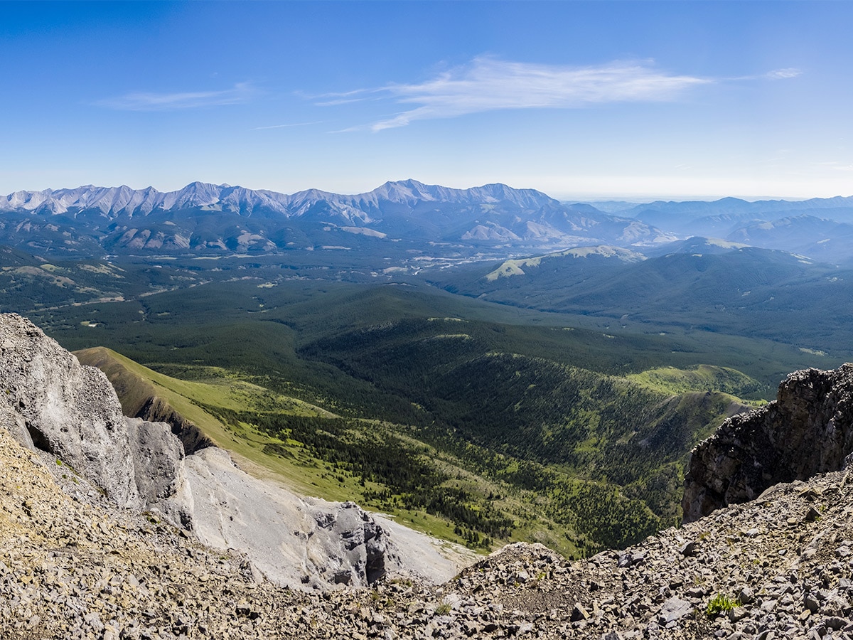
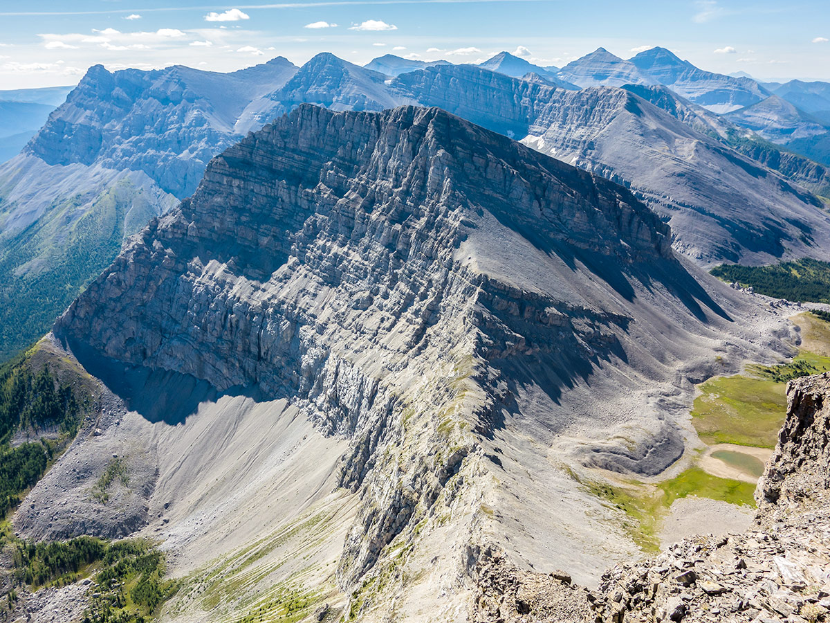
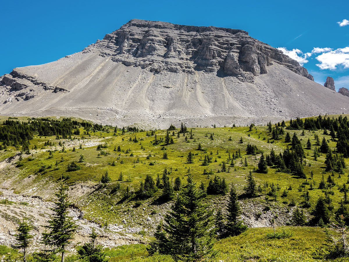
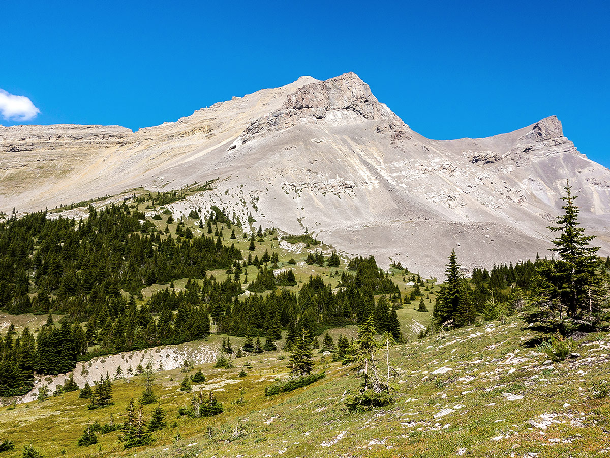
Pack up camp and begin your day heading over to Carnarvon Lake. You start by backpacking up Mount Muir. Heavy packs make this a slower-paced endeavor, but the ascent is gradual, making it seem like an easy walk until a small scrambling section just below the false summit. Leave your packs here for a quick side trip up to the true summit. Enjoy the views before heading back down to the false summit to pick up your packs and continue the descent off the mountain. Route-finding is important here due to various cliff-bands that could require you to back track and find a new route. Be careful and take your time. If you are on the wrong path it’s easy to get cliffed out.
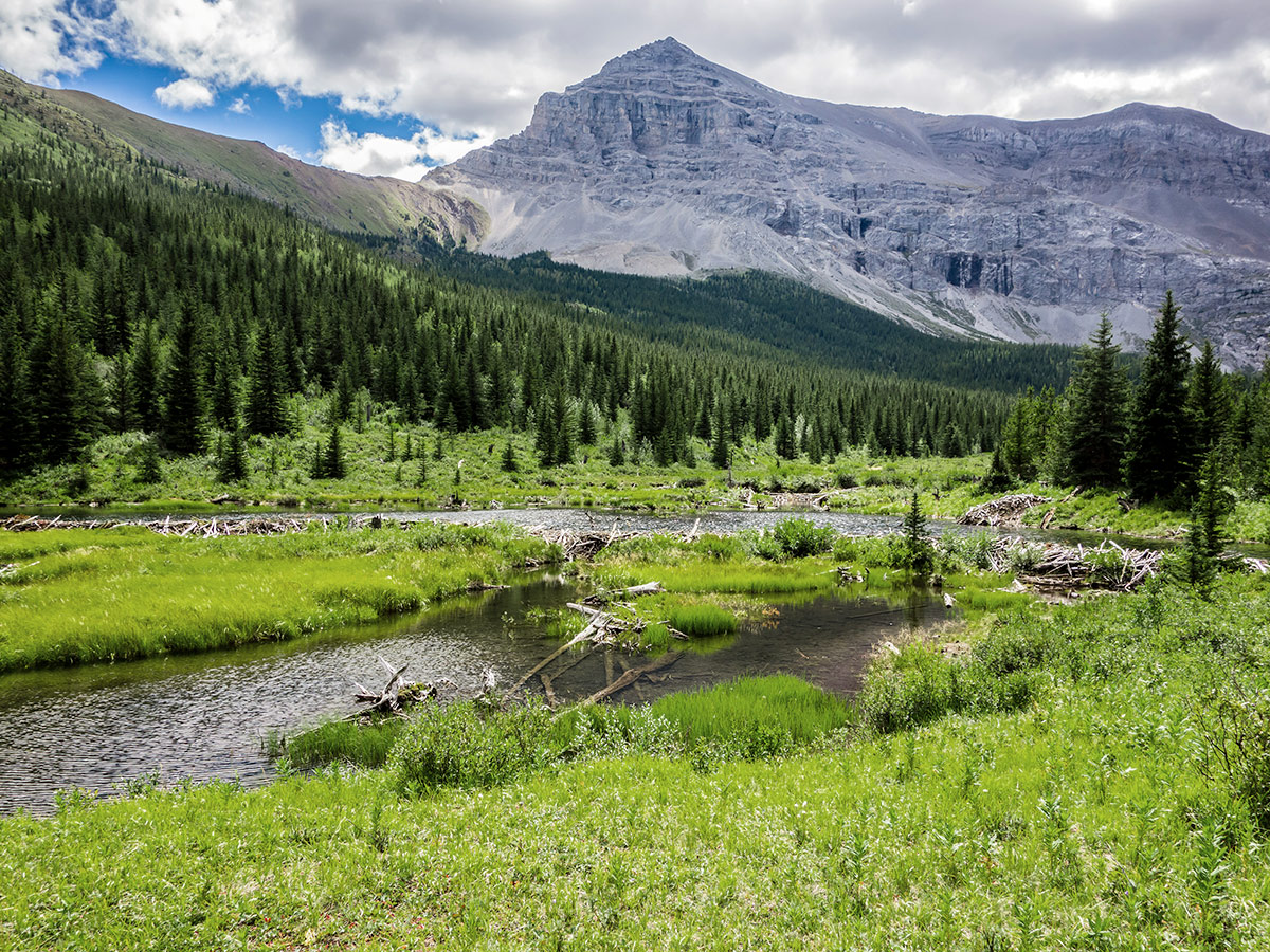
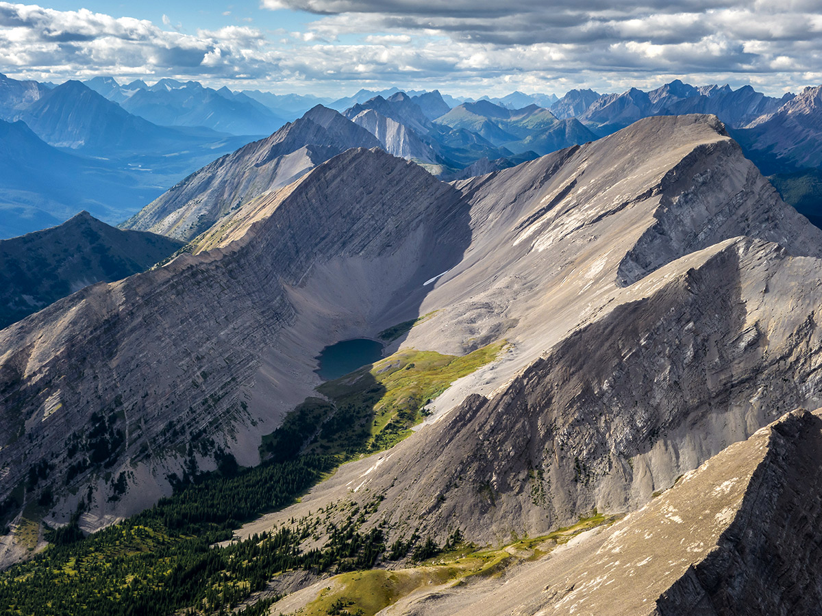
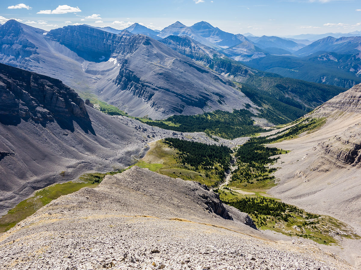
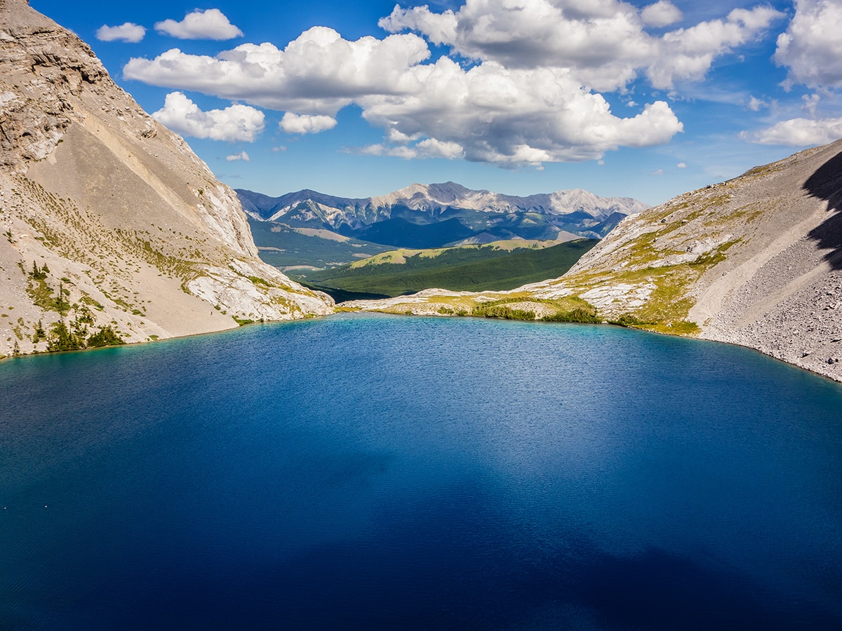
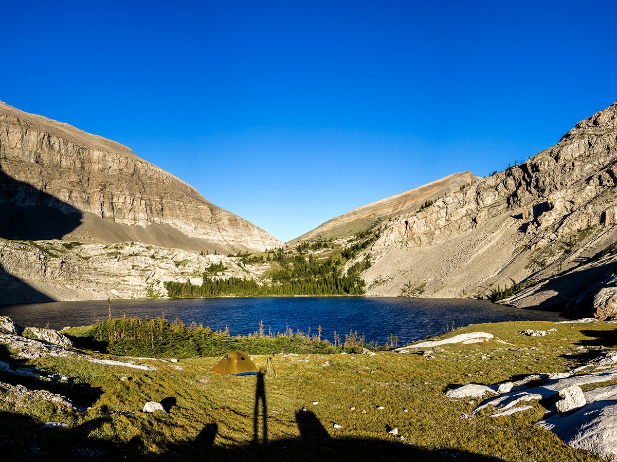
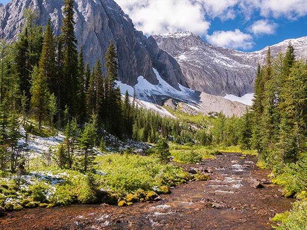
Take a relaxing lunch break in the meadows following your main descent. You will continue to descend while you contour around Mount Strachan to reach Carnarvon Lake. This section can be incredibly tedious and may involve horrendous bushwhacking. Better route-finding will make it easier. There are campsites in the trees at the head of Carnarvon Lake as well as the grassy flats on the east side.
Day 3
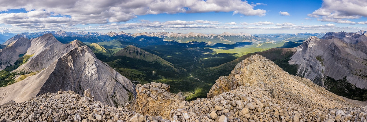
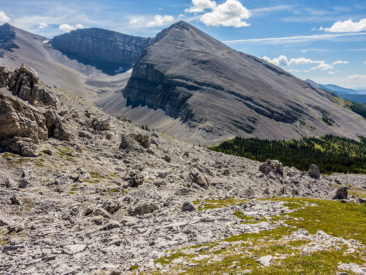
There is an option to start your day by scrambling Mount Strachan. Beware of cliff bands here, and take your time route-finding, as you will need energy to take down camp and hike out. While Mount Strachan is rated as an ‘Easy’ scramble, it is definitely on the tougher side of easy in our opinion.
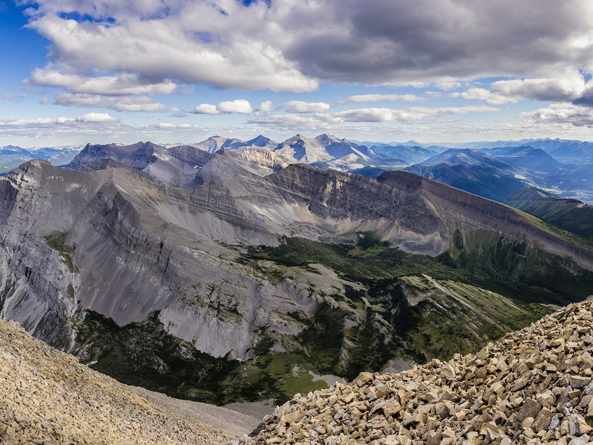
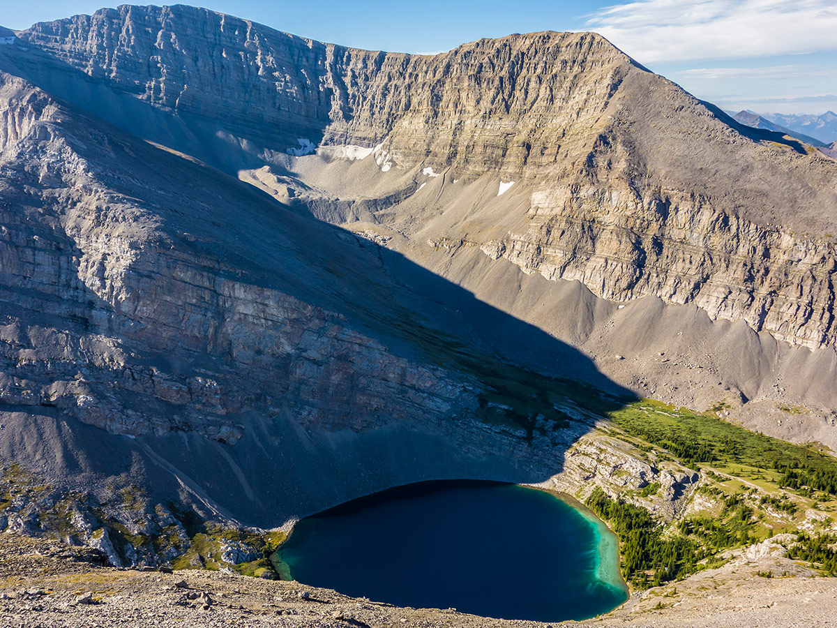
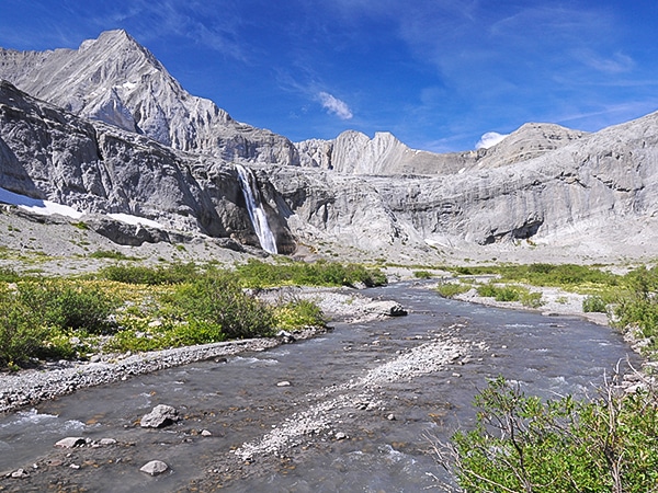
After packing up camp at Carnarvon Lake, you need to descend and head back to your car. Here is the crux of the trip, as to descend the headwall below Carnarvon Lake is a section with chains (photo here) which protect you on a route with high exposure. The headwall is between 3 and 4 stories high and has chains bolted to the rock to assist you. If you have a low or even moderate tolerance for exposure, this is probably not the route for you! A heavy backpack makes this downclimb more challenging then it would be with a daypack. If you have rope with you, you may want to consider lowering your heavy packs down first.
Follow the chains in the rock as you downclimb the headwall. This section is fun if you are comfortable with exposure, however the length of the descent might be frightening for those with little scrambling experience.
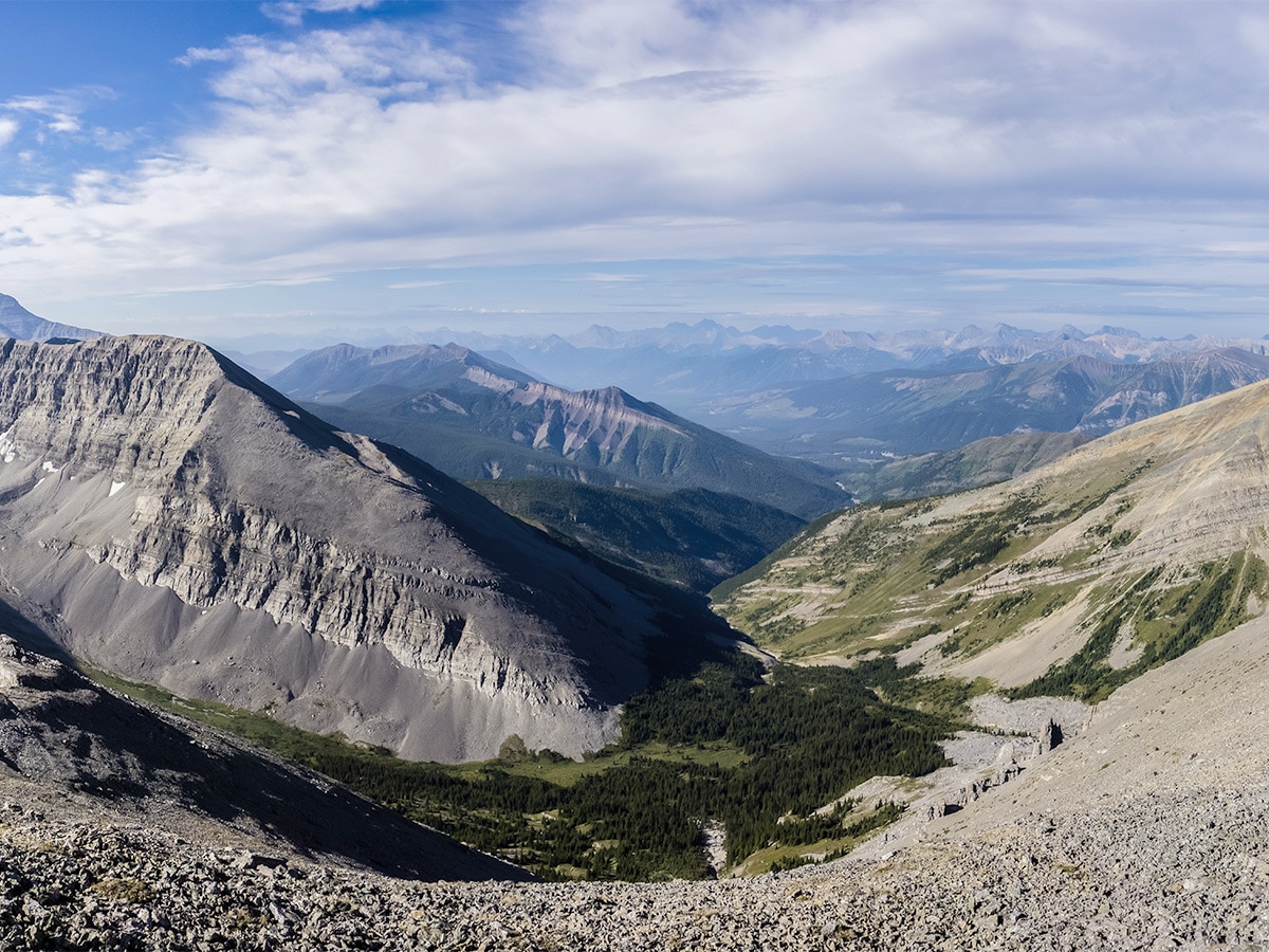
Admire your downclimb from below before taking the logging road back to the trailhead. The total trip from Carnarvon Lake back to your car is roughly 4.7mi.
Sample Itinerary:
Day 1: Trailhead to Weary Creek Gap and scramble up Mt McPhail (10.5mi / 4695ft)
Day 2: Weary Creek Gap to Carnarvon Lake Via Mount Muir (4.5mi / 2008ft)
Day 3: Carnarvon Lake to Trailhead with Mount Strachan Scramble (8.5mi / 2205ft)
Insider Hints
Bring some water shoes for the crossing of the Highwood River. We would never attempt this route during spring runoff.
Make sure you’re prepared for the chains, they are on a big headwall.
Many people do these as two separate daytrips one up to Weary Creek Gap and Mt McPhail (a big day) and another one up to Carnarvon Lake and Mount Strachan. You can use your bike for almost half of the route up to Carnarvon Lake.
Not too far further north on Highway 40 you will find the classic Picklejar Lakes trailhead, a short day-hike nearby!
If you need a last-minute snack or some gas, Highwood House General store is 4.0mi south of the trailhead.
It’s useful to have a GPS track to follow for this route, as some of the route-finding is challenging.

Similar backpacking trails to the Weary Creek backpacking trail
Turbine Canyon
The backpack to Turbine Canyon and Three Isle Lake leads you through two alpine passes, canyons, glaciers, and alpine lakes.…
Elk Lakes and Petain Basin
Petain Basin, just past Elk Lakes, is a wonderfully remote and isolated meadow lying at the base of some of…
Rae Lake
Rae Lake is often completed as a day-hike, however it is a great place for a quick backpacking trip. Lying…
swander23 5 years ago
that was an amazing experience. really makes you feel like you're in the wilderness, with all the life around ya