

Estero, Glenbrook, and Muddy Hollow Loop
View PhotosEstero, Glenbrook, and Muddy Hollow Loop
Difficulty Rating:
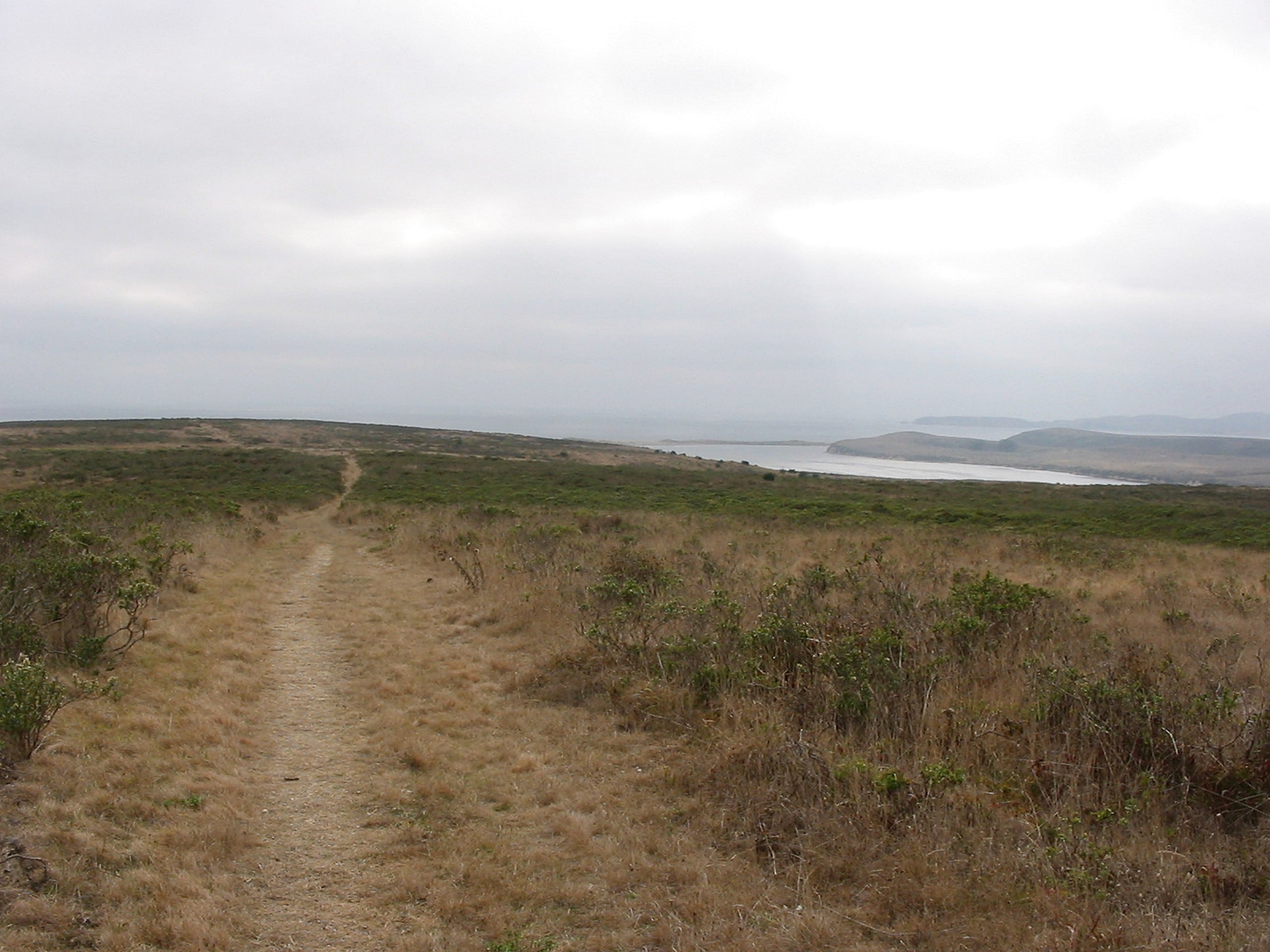
The Estero, Glenbrook, and Muddy Hollow Loop exhibits the beauty and variety of the coastal regions of California, guiding adventurers past estuaries, along the headlands of the Pacific, through meadowlands abundant with bulging elk, and marshes. This scenic route covers all the bases—go explore!
Getting there
Find the trailhead for this adventure at the end of Muddy Hollow Road.
About
| Backcountry Campground | No |
| When to do | Year-round |
| Pets allowed | No |
| Family friendly | Older Children only |
| Route Signage | Average |
| Crowd Levels | Moderate |
| Route Type | Circuit |
Estero, Glenbrook, and Muddy Hollow Loop
Elevation Graph
Weather
Estero, Glenbrook, and Muddy Hollow Loop Description
Reconnect with nature and explore the lively coastal environment along this circuit trail. The undulating path through diverse terrain types will get your heart rate up without over-exhausting you! Located so close to the coast, this route offers epic maritime views, but also exposes hikers to windy and foggy conditions; make sure to dress in layers. Additionally, elk are abundant here, so it is important to maintain a safe distance from the majestic creatures as they can be aggressive.
When your shoes are laced and the water bottle is filled, begin your adventure along the Estero, Glenbrook, and Muddy Hollow Loop from the Muddy Hollow Trailhead. From here, follow the Muddy Hollow Trail southwest, merging right onto the Estero Trail at the first intersection. The winding path will guide you up a gradual incline before reaching a plateau and redirecting hikers southwest to the estuary. Follow this path along the banks of the drainage, then connect with the Glenbrook Trail. As you track northeast, be sure to keep an eye out for elk!
You will eventually reach the trail’s end at an intersection with the Muddy Hollow Road. Turn right here and track the old road all the way back to the trailhead and parking lot, marking the end of your adventure.
Similar hikes to the Estero, Glenbrook, and Muddy Hollow Loop hike

Wildcat Camp Trail to Alamere Falls
The Wildcat Camp Trail to Alamere Falls Hike is an amazing adventure that travels to one of the world’s rare…

Mount Wittenburg and Bear Valley Loop
Immerse yourself in California’s coastal wilderness along the Mount Wittenburg and Bear Valley Loop. This epic day hike travels through…

Old Pine, Sky, and Meadow Loop
The Old Pine, Sky, and Meadow Loop is a relatively unfrequented trail in the Point Reyes National Seashore that offers…


Comments