

Sedona Airport Loop Trail
View PhotosSedona Airport Loop Trail
Difficulty Rating:
The Sedona Airport Loop Trail is a 3.2mi hike that loops around Airport Mesa (Table Mountain) where the Sedona Airport is. This is a great trail if you want a wide-open view of the city and it also allows you to watch unique small aircraft take off and land at the airport. It’s a nice hike to do to explore the mesa before settling in to watch the sunset. You can also use this trail to connect to the route where the Airport Mesa vortex is.
This trail doesn’t have much shade, so bring plenty of water and avoid hiking it in the heat of the day in the summer. It’s also quite rocky, so good boots are recommended. This trail is suitable for children and beginners.
Getting there
The trailhead for the Sedona Airport Loop Trail is off Airport Road.
About
| Backcountry Campground | No |
| When to do | Year-round |
| Pets allowed | Yes - On Leash |
| Family friendly | Yes |
| Route Signage | Average |
| Crowd Levels | High |
| Route Type | Loop |
Sedona Airport Loop Trail
Elevation Graph
Weather
Sedona Airport Loop Trail Description
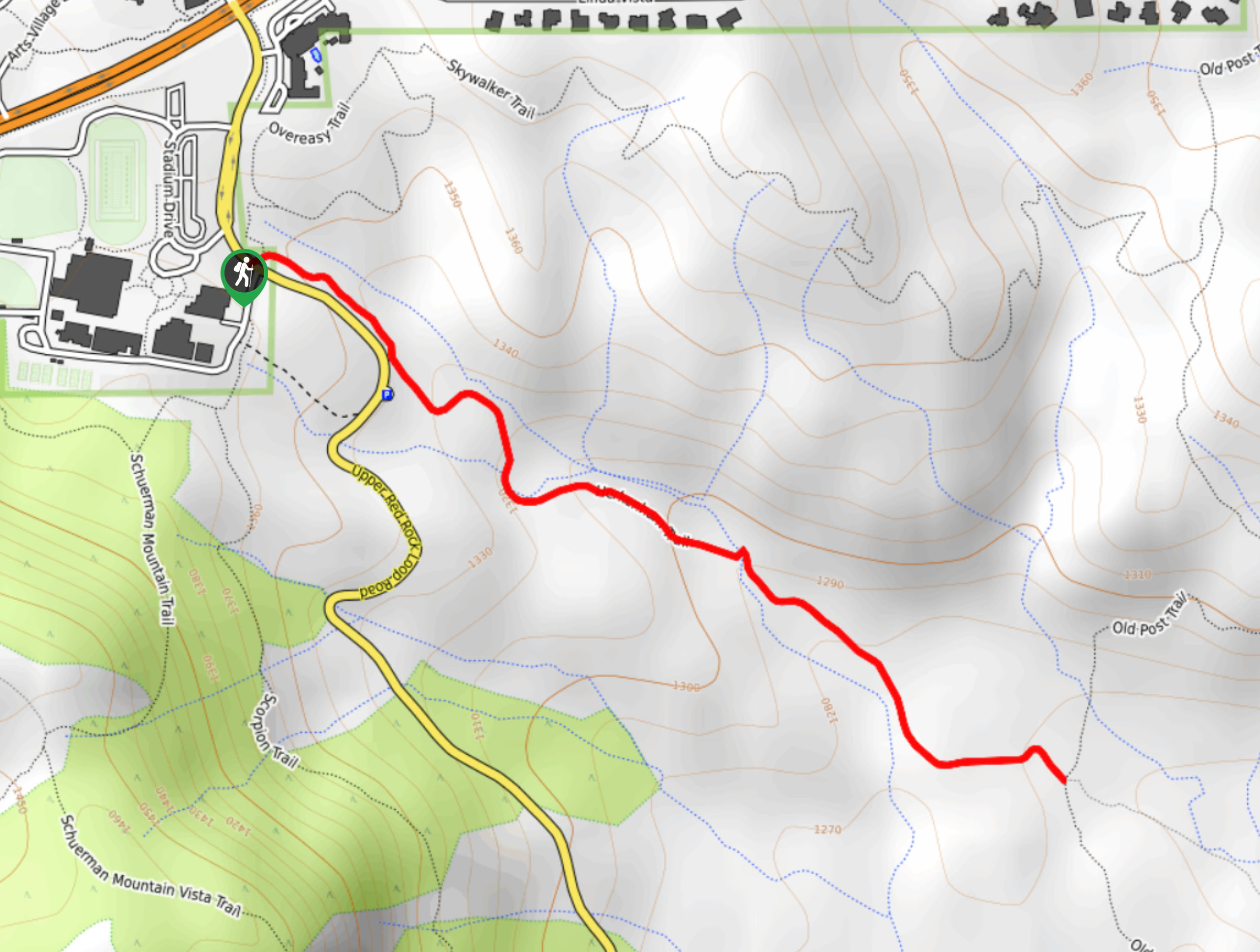
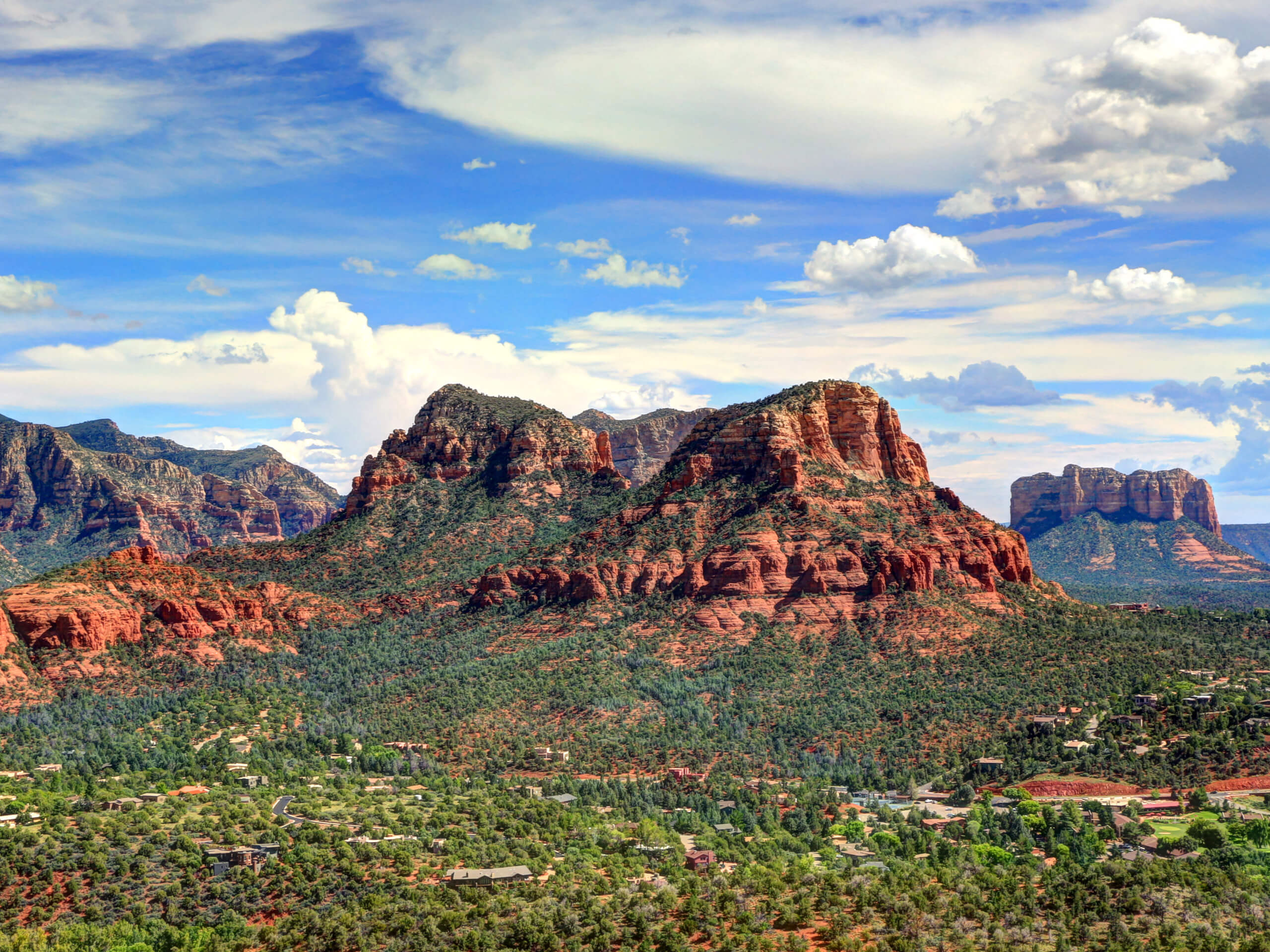
The Sedona Airport Loop Trail is a moderate 3.2mi hike that circles Table Mountain, also known as Airport Mesa. This mesa has a wide-open view of Sedona and its surrounding rock formations in all directions, and aircraft enthusiasts can watch small planes land and take off.
This hike can be extended slightly to visit the site of the Airport Mesa vortex using the Sedona View Trail.
Expect a rocky trail with very little shade. We like this hike around sunset when the sun isn’t as harsh and the warm colors light up the surrounding mountains and buttes. Bring plenty of water if you’re here on a hot day and wear sturdy shoes.
There is a smaller parking area down the road for this hike, but if it’s full, you can pay a couple of dollars to park next to the airport instead.
While many hikers do this trail counter clockwise, we prefer a clockwise approach. This gives you the best view on the second half of your hike, which is a bit more rewarding and motivating.
From the trailhead, look left for the trail across the street from the parking lot and begin to follow the curve of the mesa. If you’ve parked near the airport, take the Sedona View Trail through the gate and pick up the loop at the first junction, turning right.
Look over Oak Creek Valley as you trek over the mostly flat first mile. You’ll climb gently over basalt rocks to the south corner of the mesa.
The trail flattens out before turning north and hugging the airport fence for a while. You’ll drop down to cross a wash before climbing to the junction with Table Top Trail.
Stay right at the junction and then right again as you dip down towards a residential area. You’ll reach a junction with the Bandit Trail. Continue straight on, descending slowly and then levelling out. To finish off the route, you’ll climb eastward and cross the road to reach the trailhead again.
Note: If you want to check out the vortex, take the Sedona View Trail, accessible near the trailhead for the Sedona Airport Loop Trail, though the gate (if you parked at the airport) along a short, rocky stretch to a saddle. You can climb up the rock beside Airport Mesa from the saddle on a fenced trail to the site of the vortex, which has a great view and some signage detailing the site and the view you’ll have.
Trail Highlights
Airport Mesa
Airport Mesa, or Table Mountain, is a prominent flat-topped mountain that overlooks the city of Sedona. This mesa is home to the Sedona Airport and an energy vortex. There are a few hiking trails in the vicinity of the mesa, the most well-known of which is a trail that loops the entire mesa.
Frequently Asked Questions
Is Airport Mesa worth visiting?
The mesa is worth a visit, especially around sunset. The view is quite impressive!
What kind of vortex is the Airport Mesa vortex?
The vortex is considered an upflow area, claimed to help your energy flow higher for increased oneness and serenity. See what you think!
Where should I park for Airport Mesa?
You can either park in the small pullout on your left on Airport Road, or up in a private lot near the airport. The private lot is large but requires a $3 fee.
Insider Hints
Mesa Grill near the airport is a great spot for lunch or dinner. Try the fries!
Time this hike for sunset if you can. Airport Mesa is a popular sunset watching spot.
Similar hikes to the Sedona Airport Loop Trail hike

Margs Draw Trail
Margs Draw Trail is a bit of a hidden gem. This trail doesn’t get as much traffic as other nearby…

Baby Bell, Llama, and Bail Loop
The Baby Bell, Llama, and Bail Loop is a 3.6mi hike in Sedona near Bell Rock and Courthouse…

Herkenham Trail
Herkenham Trail is a 2.0mi out and back trail in the Coconino National Forest near Sedona. This route…


Comments