

Place Glacier Trail
View PhotosPlace Glacier Trail
Difficulty Rating:
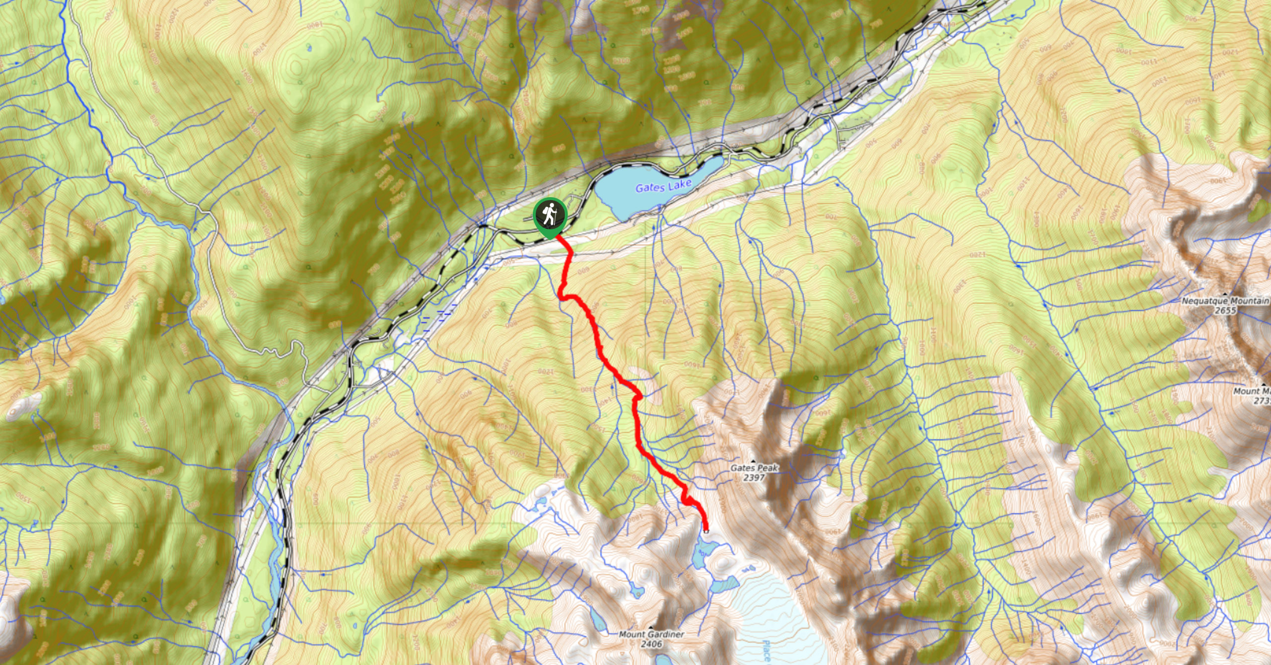
The Place Glacier Trail is a difficult 6.8mi hiking route near Pemberton that climbs steeply uphill to some overnight huts located at the foot of Place Glacier. Hikers will grind their way uphill, passing by some superb views of a scenic waterfall before scrambling a rock slab to reach the glacier. This is a challenging hike that should be treated with caution, and only experienced hikers should attempt it.
Getting there
To access the Place Glacier Trail trailhead from Pemberton, drive east on BC-99 N for 4.3mi and continue straight onto Pemberton Portage Road. Follow this for 13.1mi and turn right onto Anson Place to arrive at the trailhead.
About
| When to do | June–November |
| Backcountry Campsites | Place Glacier Glaciology Hut |
| Pets allowed | No |
| Family friendly | No |
| Route Signage | Poor |
| Crowd Levels | Moderate |
| Route Type | Out and back |
Place Glacier Trail
Elevation Graph
Weather
Place Glacier Trail Description
A challenging route that only experienced hikers should attempt, the Place Glacier Trail is an extremely steep uphill climb that requires decent route-finding skills. Along the route, you’ll encounter breathtaking natural features like a waterfall and glacial lakes. After climbing a challenging route that is often likened to the Grouse Grind, hikers will need to scramble up a rock slab to arrive at the overnight huts located at the foot of the glacier. This is best done with protective equipment, such as a helmet, and should be treated with caution, especially in wet weather. From the top of the trail, you will have spectacular views over Place Glacier and a nearby glacial lake that are both nestled into the alpine landscape. From this point, hikers can either utilize the huts to spend the night in the area or head back down the Place Glacier Trail.
Similar Scrambles to the Place Glacier Trail Scramble

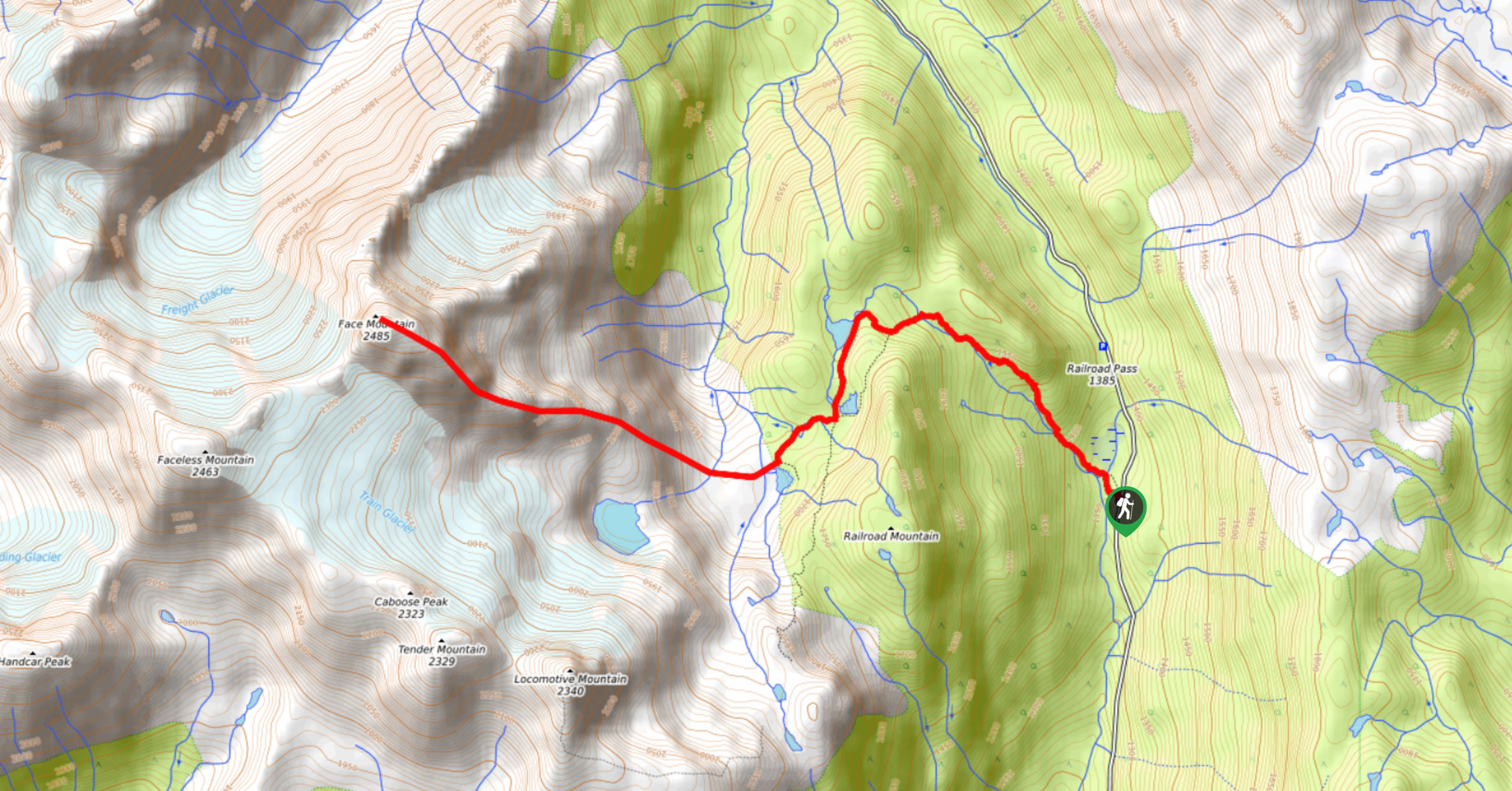
Face Mountain Trail
The Face Mountain Trail is a challenging out-and-back hiking route near Pemberton that takes hikers on a difficult scramble to…

Joffre Peak via Cerise Creek Trail
The Joffre Peak via Cerise Creek Trail is a 9.5mi out-and-back climbing route near Pemberton that will take…

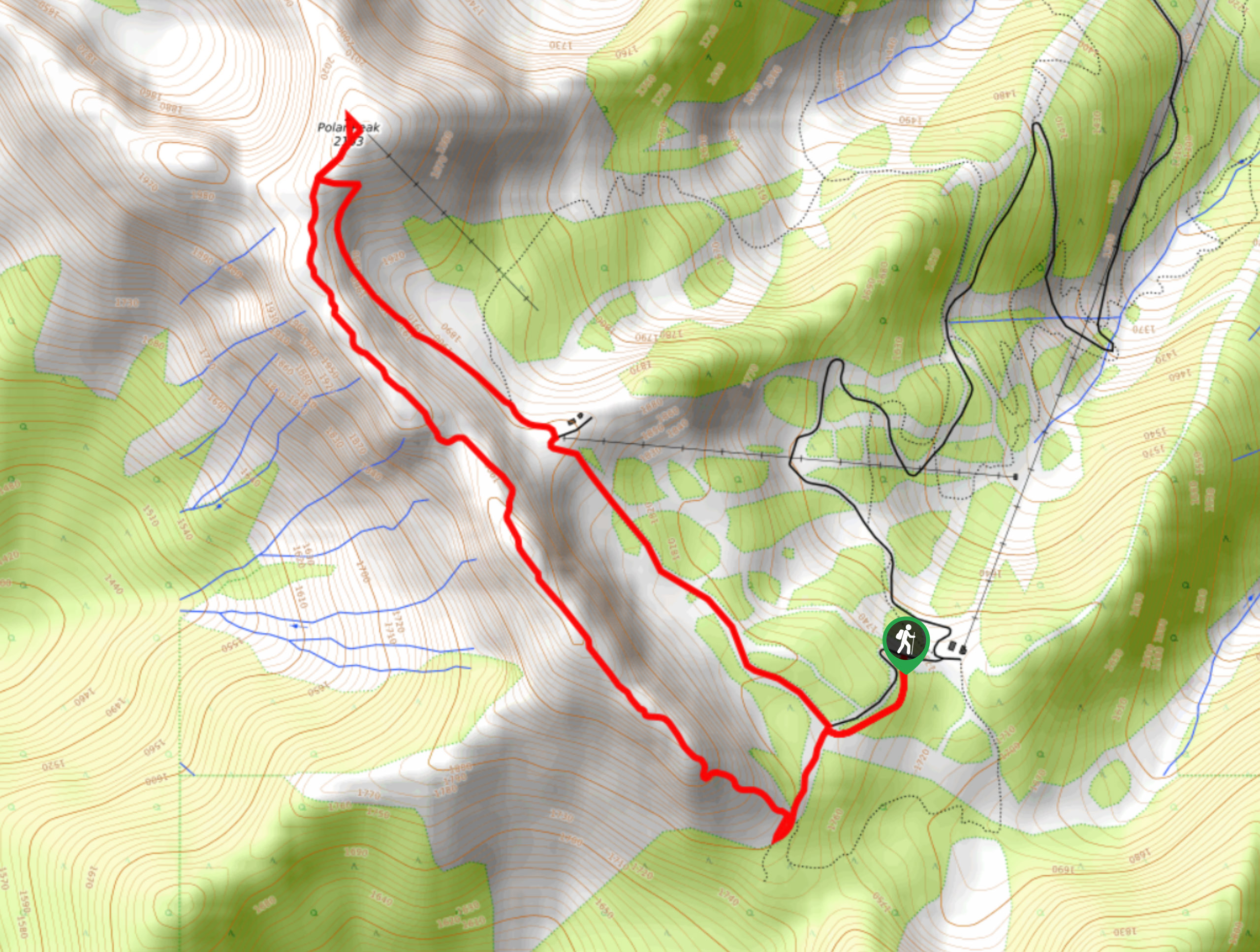
Polar Peak Ridge Trail
The Polar Peak Ridge Trail is a challenging 3.5mi route near Fernie that traverses an alpine ridge and…


Comments