Terrace Trail
View Photos
Terrace Trail
Difficulty Rating:
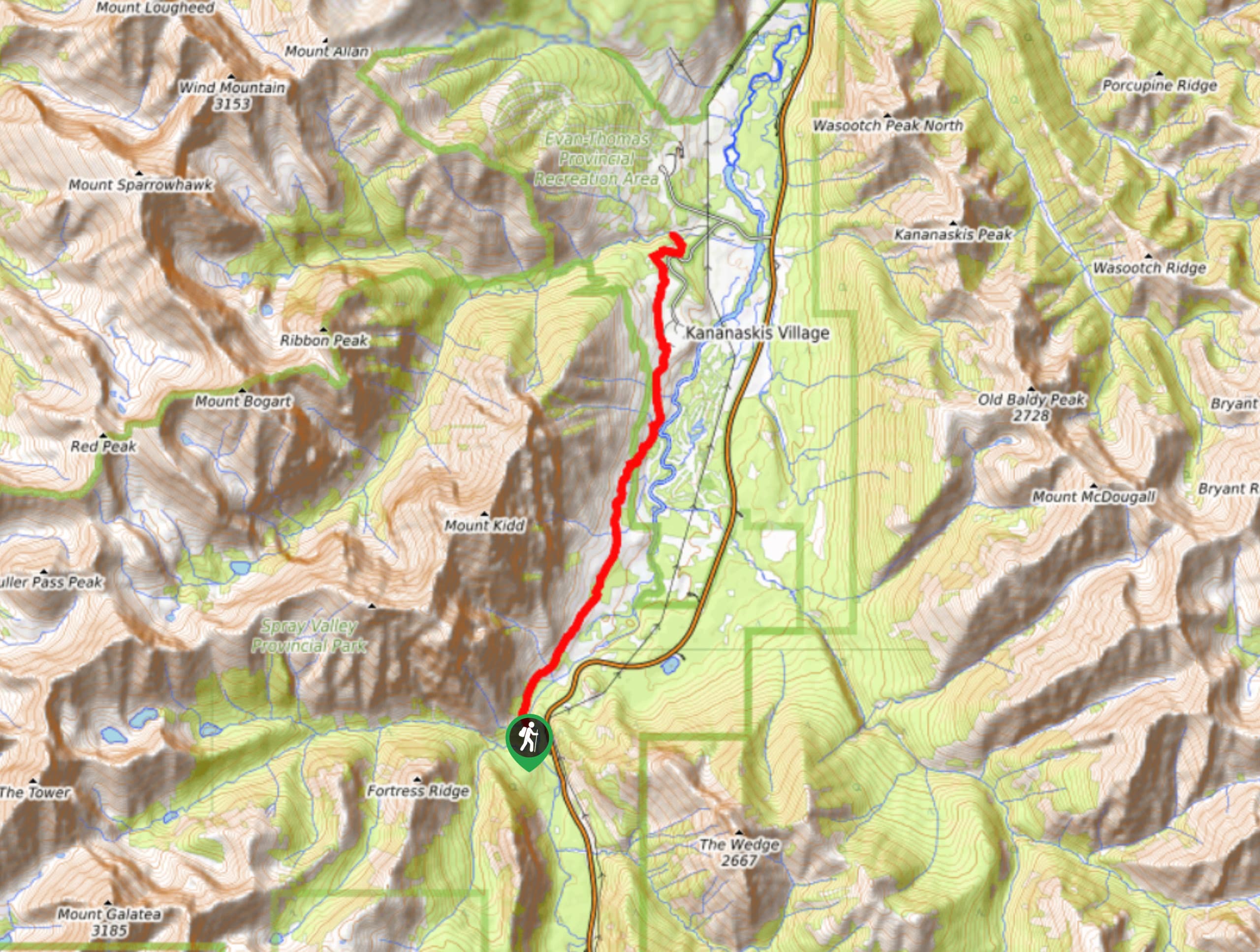
The Terrace Trail South is a great connecting trail that links Ribbon Creek with Galatea Creek. You can choose to do this as an out-and-back, or shuttle a vehicle and hike one way. This is a popular mountain bike trail, so be aware of traffic.
Getting there
Take the exit onto Highway 40 from the Trans Canada Highway and follow this road for 13.7mi before turning right onto Mount Allan Drive at Kananaskis Village. Turn left onto Centennial, and right onto Ribbon Creek Drive. Park at the Ribbon Creek day-use area.

About
| When to do | June-September |
| Backcountry Campsites | No |
| Pets allowed | Yes - On Leash |
| Family friendly | No |
| Route Signage | Average |
| Crowd Levels | Moderate |
| Route Type | Out and back |
Terrace Trail
Elevation Graph
Weather
Terrace Trail Description
There are two segments of the Terrace Trail in Kananaskis, and our route follows the south trail. Both leave from Ribbon Creek day-use and both are very popular with mountain bikers. When hiking, watch for traffic when the trail narrows from wide and open to singletrack. From the Ribbon Creek day-use, join the Terrace Trail towards the Kovach Trail and stay on the well-maintained and easy-to-follow trail. You’ll pass by Kananaskis Village and the Kananaskis Country golf course as you make your way towards Galatea. When you reach the junction with the Galatea Lakes Trail, it is time to turn back and enjoy the rolling descent back to Ribbon Creek.
Similar hikes to the Terrace Trail hike
Gorge Creek Loop
Hiking the Gorge Creek Loop requires some route knowledge and a bit of extra effort as it is not as…
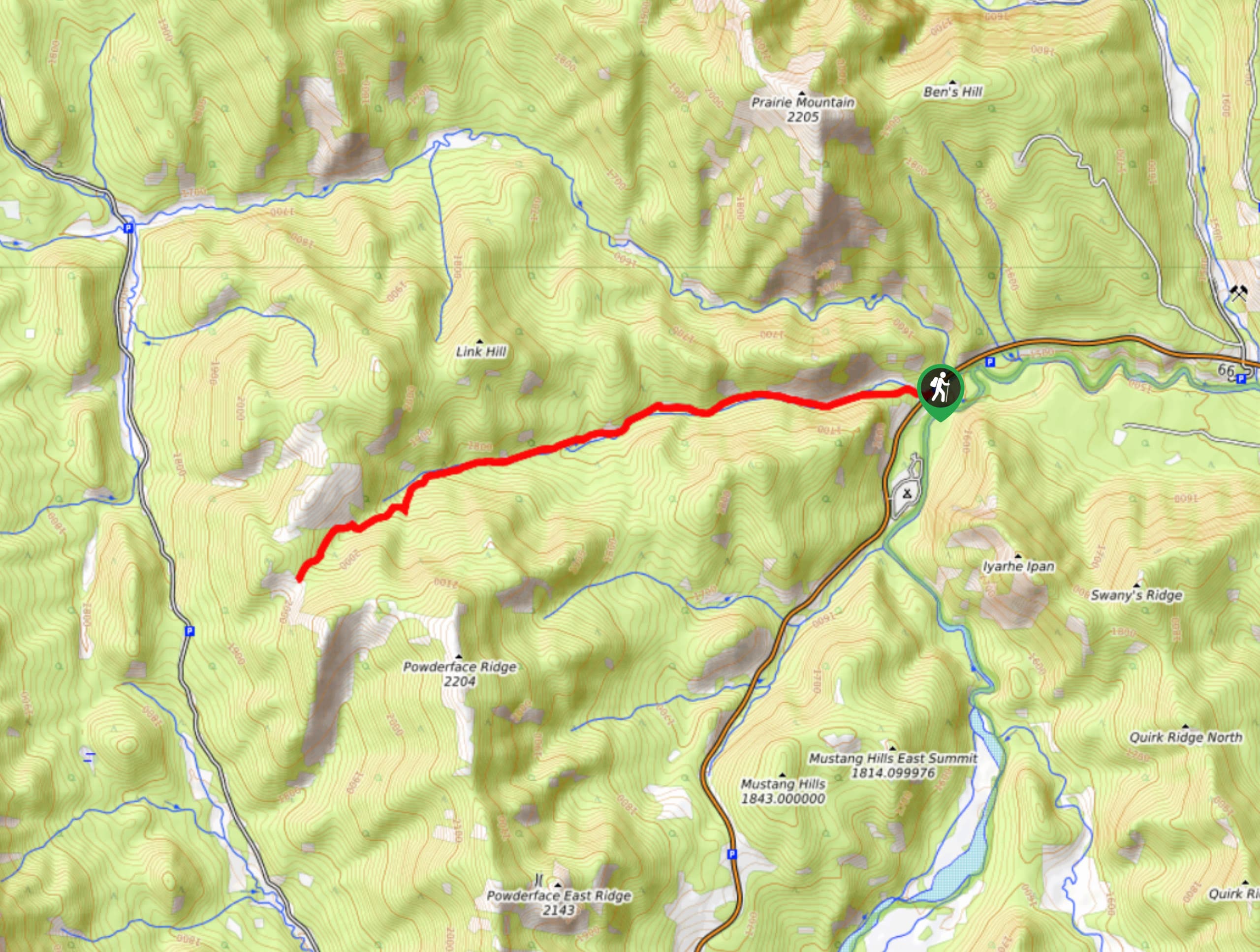
Powderface Creek Trail
The Powderface Creek trail in Kananaskis is a popular hiking, biking, and horseback trail, so be aware of traffic when…
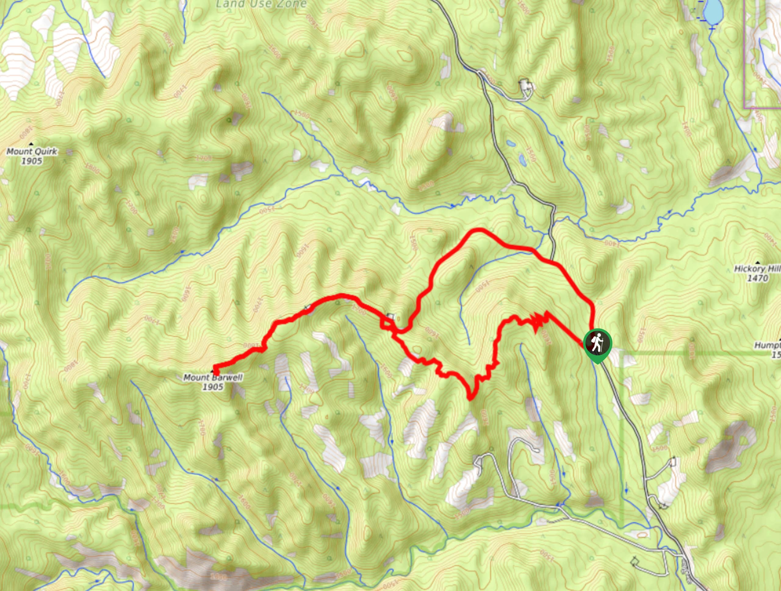
Barwell Trail
Hiking the Mount Barwell Trail is a half to full day effort that is very rewarding. With minimal crowds and…
Comments