


Porcupine Ridge Hike
View PhotosPorcupine Ridge Hike
Difficulty Rating:
Porcupine Ridge is a challenging hike up a stunning ridge in the centre of Kananaskis. The views are astounding, and if you spend enough time in the area, you will be able to recognize many of the surrounding peaks and their trails. The day use area at the trailhead is a great spot to wind down after a long trek up Porcupine Ridge.
Getting there
From the junction with the Trans Canada Highway, take Highway 40 for 10.3mi until you reach Porcupine Creek Day Use Area. This is where your trail begins.
About
| When to do | May-September |
| Backcountry Campsites | No |
| Pets allowed | Yes - On Leash |
| Family friendly | Older Children only |
| Route Signage | Average |
| Crowd Levels | High |
| Route Type | Out and back |
Porcupine Ridge Hike
Elevation Graph
Weather
Porcupine Ridge Trail Description
The Porcupine Ridge Trail begins travelling southeast from the parking lot at the day-use area. Don’t mix it up with the trail leading south that heads straight up a mountain – that’s Wasootch Ridge. The trail first leads you through a dense forest, where you will see the road leading to the car park on your left for some time. After that, the trail turns east. The path is very clear here, so just follow it until you leave the forest and walk up to a wooden bridge.
There are two ways to go from here. You can either cross the bridge and walk on the eastern side of the creek. But do note, the trail is washed away, so you’ll either have to walk through the water or climb slightly higher on the edge of the rocks, which is quite doable if you have hiking poles for support. But we found it easier to climb down to the right side at the start of the bridge and walk on the western side of the creek until you see a pile of wooden logs that lead to the eastern side of the river. Cross here and walk by the creek until you see the second pile of logs. Cross the creek again.
The river then breaks into two creeks. One goes east and the other part goes south. It’s very tempting to follow the river southbound as the trail is clear, but don’t do it. The trail to the south just follows Porcupine Creek and the trail eastwards goes to the Midday Peak. Look for a ridge right in the middle of the place where the creek splits into two – that’s the trail you need. You will need to cross the southbound creek once to get to the ridge and should also see pink and orange ribbons marking the trail.
From here, it’s a steep climb right up the Porcupine Ridge. There’s a lot of elevation gain right at the start, but later it becomes a bit easier. The trail here is pretty clear and while at some points it breaks into two, they eventually meet up. You should be heading up southeast most of the time.
Don’t forget to occasionally look behind you as the views towards Mount Lorette, Mary Barclay’s Mountain and Skogan Peak are absolutely incredible and they get much better at the top.
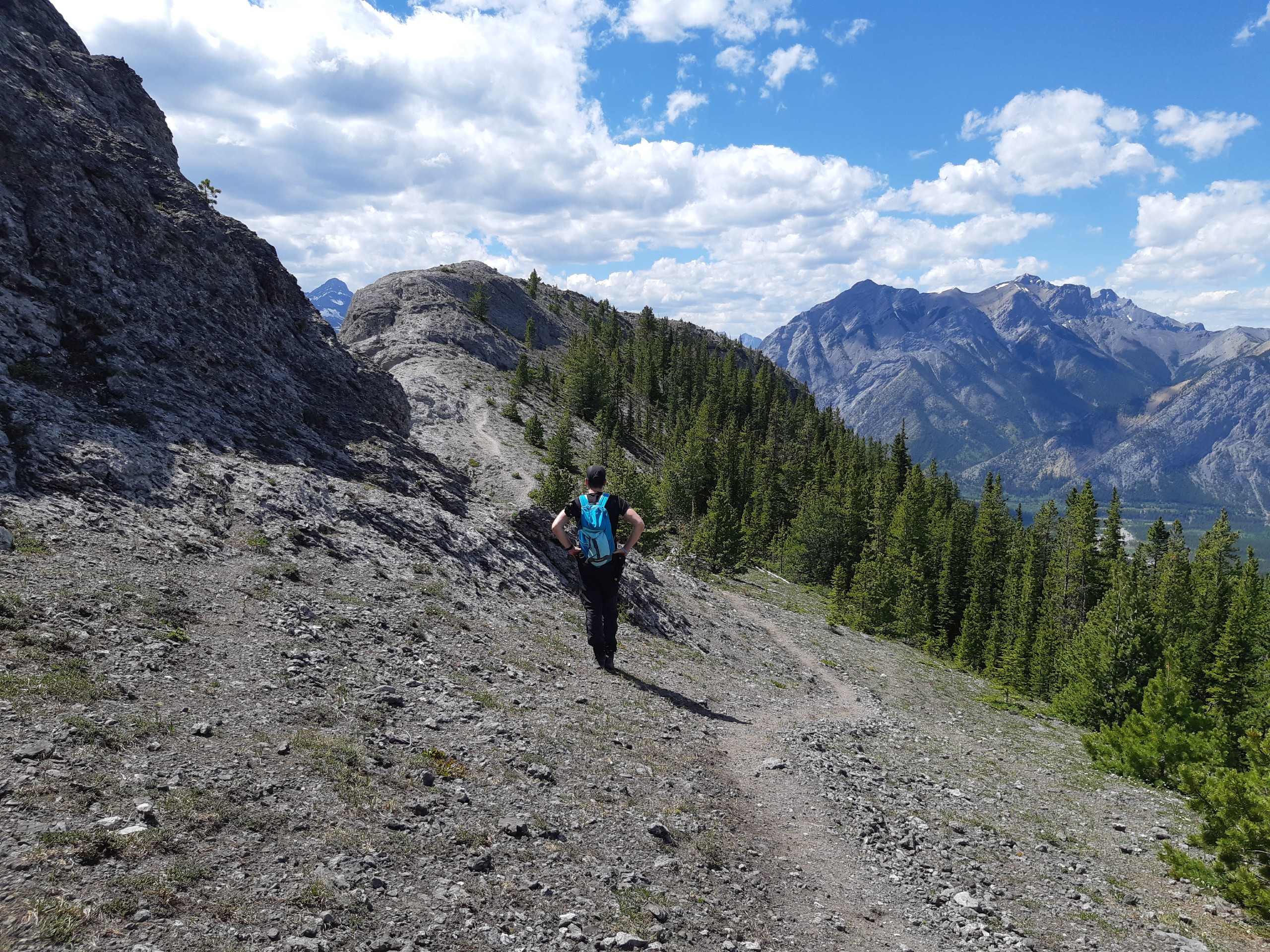
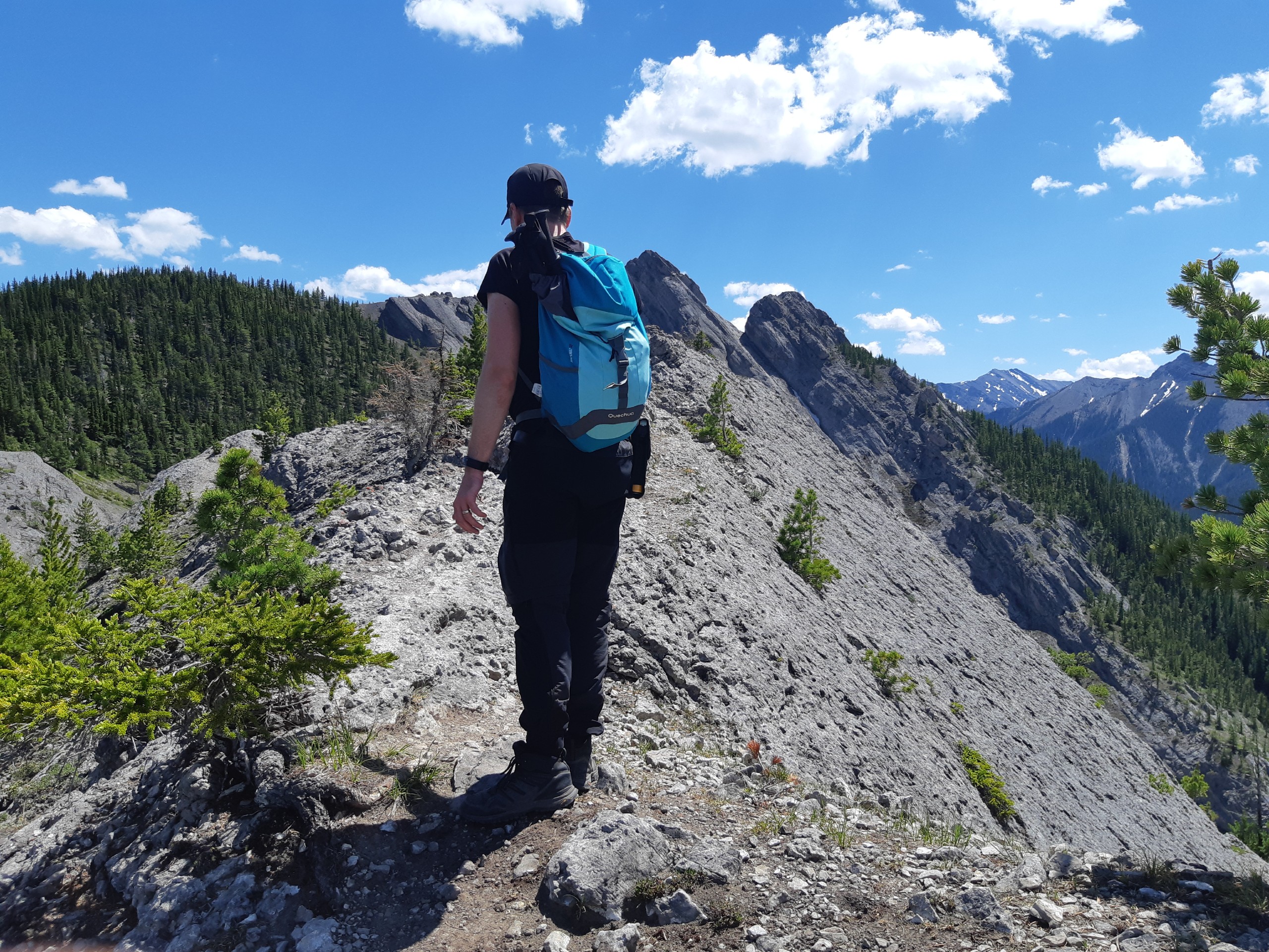
You will then reach a rocky point with a wooden cross and a golf club on it, which is a personal monument for a deceased person. Some people finish the trail there, as that’s also the place with the best views. But if you want to continue, head up the rocks and walk over the ridge itself. The ridge becomes narrower and you can see some steep drop-offs, but it doesn’t get overly exposed. Though some hikers with a fear of exposure may find it a bit challenging.
The trail then leads you down from the rocks into the forest, where it starts to gain elevation again. Once past the forest, there are different paths you can take: one goes up to the rocky boulders, and the other leads more to the left, leaving the rocky peaks slightly above you on your right-hand side. That’s the easiest route to take. The route later splits into two, and you can pick which side of the ridge you want to be on. They both meet up eventually and lead towards the Porcupine Ridge point – the final stop of the trail.
After taking in the beautiful views and having a snack, walk back the way you came. It’s recommended to use hiking poles on your way back, especially at the section near the creek, where the route is pretty steep. Your knees will thank you for it!
Insider Hints
Bring hiking poles to take some pressure off your knees. The hike down is pretty steep as you're nearing the creek.
Similar hikes to the Porcupine Ridge Hike hike
Gorge Creek Loop
Hiking the Gorge Creek Loop requires some route knowledge and a bit of extra effort as it is not as…
Powderface Creek Trail
The Powderface Creek trail in Kananaskis is a popular hiking, biking, and horseback trail, so be aware of traffic when…
Barwell Trail
Hiking the Mount Barwell Trail is a half to full day effort that is very rewarding. With minimal crowds and…


ccharabin 3 years ago
This is a really nice hike. The views are great and it is excellent for the spring. I went along the first fridge and continued to the second ridge. It was totally worth it and the effort was minimal to get to the second ridge. You may want to bring poles or cleats for spring hiking. It can be windy at the top of the ridge so bring a jacket. My only annoyance with this hike is that part of the trail has been washed away so you have to cross the creek several times. There are no easy crossing areas (in my opinion). I would recommend to not cross the bridge and follow the route that way. It seemed easier. The technical difficulty was nothing to fear but it really depends on your comfort level with exposure, steep spots, and snow (did the hike in may).