

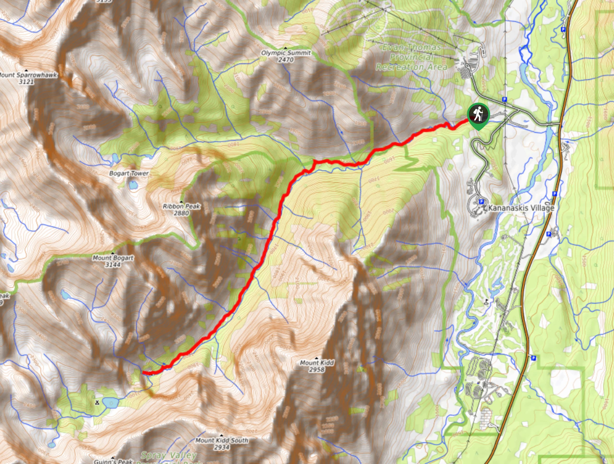
Ribbon Falls Hike
View PhotosRibbon Falls Hike
Difficulty Rating:
The hike to Ribbon Falls is a stunning half-day hike in a popular area. It sees plenty of hikers and backpackers throughout the summer, so be sure to head out early for your trip. Hiking up the valley of Ribbon Creek offers incredible views of the surrounding peaks on your way to the falls. Enjoy the falls and the amenities of the campground before heading back.
Getting there
From the junction with the Trans Canada Highway, take Highway 40 for 13.7mi before turning onto Mount Allan Drive at Kananaskis Village. Turn Right onto Centennial Drive for the Kananaskis HI Hostel. Turn right again onto Ribbon Creek Road and follow the road past the Hostel to the day use area, where your hike will begin.
About
| When to do | June-September |
| Backcountry Campsites | Ribbon Falls, Ribbon Lake |
| Pets allowed | Yes - On Leash |
| Family friendly | Older Children only |
| Route Signage | Average |
| Crowd Levels | High |
| Route Type | Out and back |
Ribbon Falls Hike
Elevation Graph
Weather
Ribbon Falls Hike Description
The hike to Ribbon Falls is a popular one due to the beautiful backcountry campsites along the way and the well-known landmarks of both Ribbon Falls and Ribbon Lake. The trail follows a valley between Ribbon Peak and Mount Kidd. It climbs gently to the falls and the accompanying campground. If you are willing to push on further and enjoy a bit of scrambling, continue on to Ribbon Lake for an exhilarating end to your trip.
Find other amazing hikes in Kananaskis Country
- Kananaskis – Smith Dorrien Trail: Chester Lake, Tent Ridge, Burstall Pass, West Wind Pass and Rummel Lake.
- Bragg Creek and Sheep River Provincial Park: Prairie Mountain, Powderface Ridge, Nihahi Ridge and ForgetMeNot Ridge.
- Kananaskis Trail: Troll Falls, Rawson Lake, Wasootch Ridge, Sarrail Ridge and Pocaterra Ridge.
Similar hikes to the Ribbon Falls Hike hike
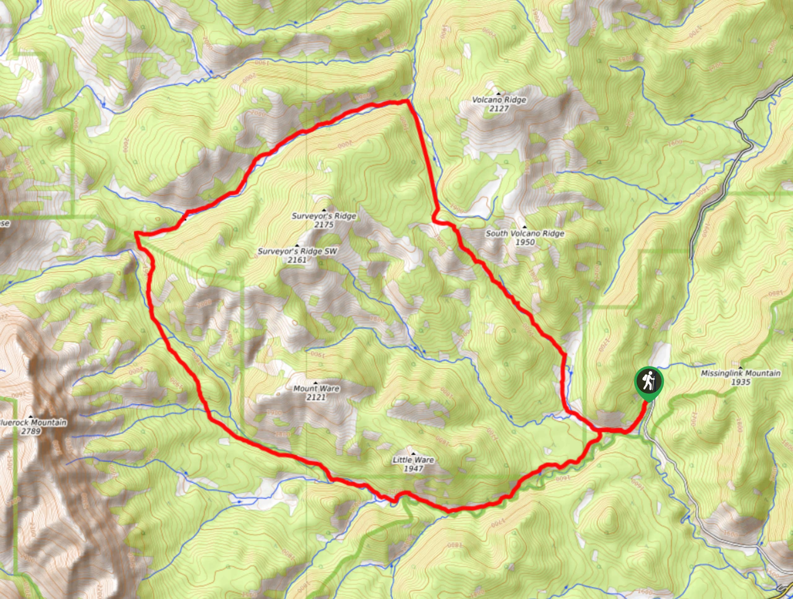
Gorge Creek Loop
Hiking the Gorge Creek Loop requires some route knowledge and a bit of extra effort as it is not as…
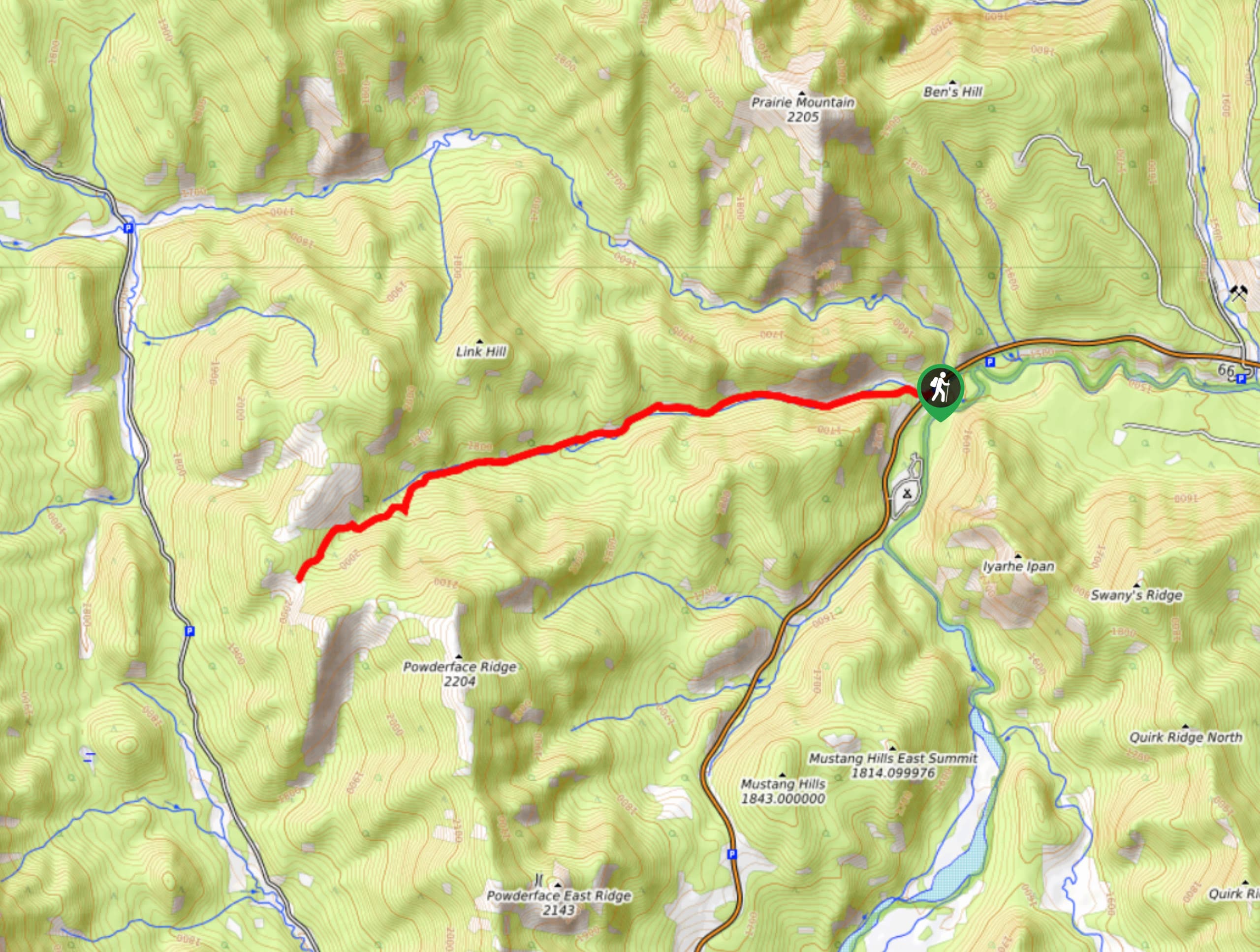
Powderface Creek Trail
The Powderface Creek trail in Kananaskis is a popular hiking, biking, and horseback trail, so be aware of traffic when…
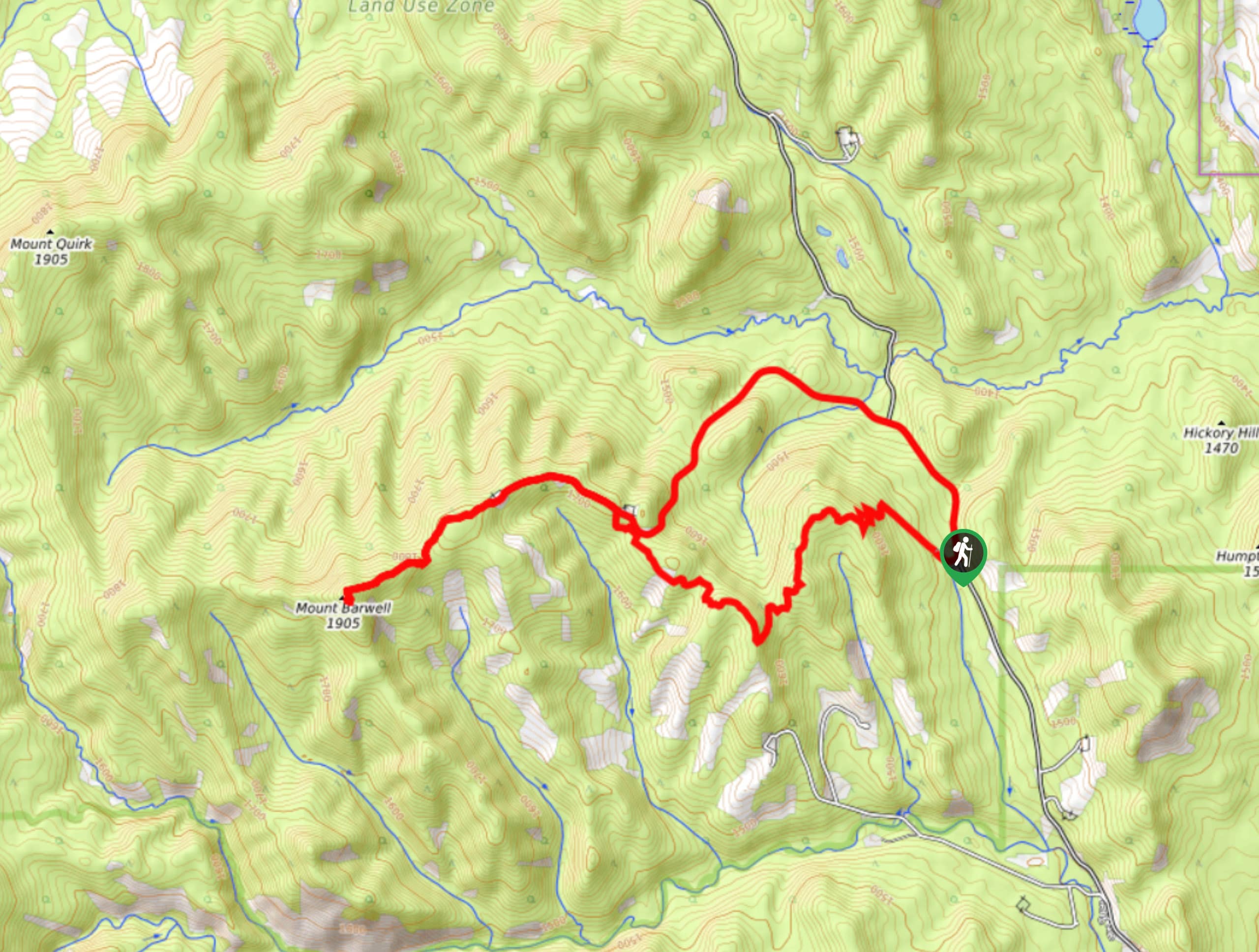
Barwell Trail
Hiking the Mount Barwell Trail is a half to full day effort that is very rewarding. With minimal crowds and…



Comments