

Carnarvon Lake Hike
View PhotosCarnarvon Lake Hike
Difficulty Rating:
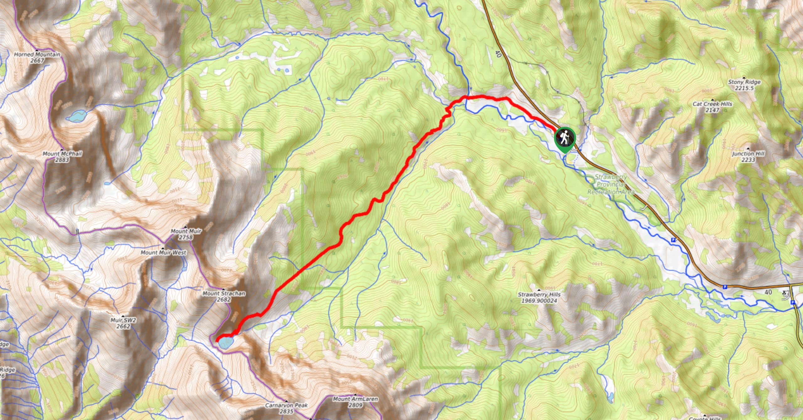
The hike to Carnarvon Lake involves steady inclines, chain sections, and 857m of elevation gain to reach the objective. It is a great hike for those looking for something more adventurous. Experienced hikers will find this trail to be more entertaining than most others. Pack some overnight gear to spend a night at the lake if you want to really take advantage of the incredible Carnarvon Lake.
Getting there
From the Trans-Canada Highway, join Highway 40, 32.9mi east of Banff, or 46.0mi west of Calgary. From Highway 40, continue roughly 37.3mi to the Cat Creek parking lot and trailhead.
About
| When to do | June-September |
| Backcountry Campsites | Random Camping |
| Pets allowed | Yes |
| Family friendly | No |
| Route Signage | Average |
| Crowd Levels | Moderate |
| Route Type | Out and back |
Carnarvon Lake Hike
Elevation Graph
Weather
Carnarvon Lake Trail Description
The trip to Carnarvon Lake is a great choice for both a day hike or a backpacking route. This trail is an intermediate to advanced route that involves some scrambling along fixed chains and 2812ft of elevation gain. The trail also involves a river ford that ranges in difficulty based on the water levels.
If you are an intermediate hiker looking for something exciting this is a great trail for you. The caribbean blue waters of Carnarvon Lake are a must-see and the chain traverses add an adventurous element to the trail. Due to its distance from the central Kananaskis area, this trail sees less visitors than other hikes in the area. There is an option to bike the first 3.1mi of this trail if you would like to save some time and effort.
From the parking lot, find the trail sign and follow the obvious path leading out of the parking area. You’ll gain some elevation on rolling terrain for 1.6mi before coming to a water crossing. The difficulty of crossing McPhail Creek depends on the water levels, but make sure to scout a safe crossing before making your attempt.
After crossing the creek, continue hiking along the straightforward trail, gaining elevation as you go. The elevation is manageable for most of the trail, so you won’t need to expect any major inclines until you break the treeline. If you brought your bike, you can park your bike at the 3.1mi mark where there is a prominent junction on the left.
Once you make it above treeline, you’ll be able to see the headwall ahead of you. You’ll have to cross a scree section on your approach to the headwall. Once you reach the headwall, there is some fourth class scrambling required with two sections that are equipped with fixed chains. The chains are located at the 5.9mi mark from the trailhead, just before the lake. Note that around the chains, some of the rock can be very polished and slippery due to continual traffic across the chains.
There are no more obstacles once you pass the two chain sections. Keep climbing until you reach the lake a few hundred metres beyond the chains. There are some primitive campsites established at the back of the lake roughly 1640ft distance from the chains.
If you have the energy or if you are staying overnight and have extra time, make your way up to the saddle above you. This trail straddles the Great Divide, so if you choose to make your way up to the saddle, you can pop into BC for fun. The views from the saddle are incredible, and the pristine colours of the lake brighten as you climb above it.
Head back down, taking extra caution descending the headwall and the scree below. Remember you will have to cross the water again on the way home. Luckily, the final obstacle is close to the parking area, and you won’t have wet feet for long.
Find other amazing hikes in Kananaskis Country
- Kananaskis – Smith Dorrien Trail: Chester Lake, Tent Ridge, Burstall Pass, West Wind Pass and Rummel Lake.
- Bragg Creek and Sheep River Provincial Park: Prairie Mountain, Powderface Ridge, Nihahi Ridge and ForgetMeNot Ridge.
- Kananaskis Trail: Troll Falls, Rawson Lake, Wasootch Ridge, Sarrail Ridge and Pocaterra Ridge.
Insider Hints
Bike the first 3.1mi, and be sure to bring a lock big enough to wrap around a tree
Plan to spend a night at the established random camping sites around the back of the lake, you’ll likely have the place to yourself
Hike up to the saddle in the ridge above the lake for incredible views
Similar hikes to the Carnarvon Lake Hike hike
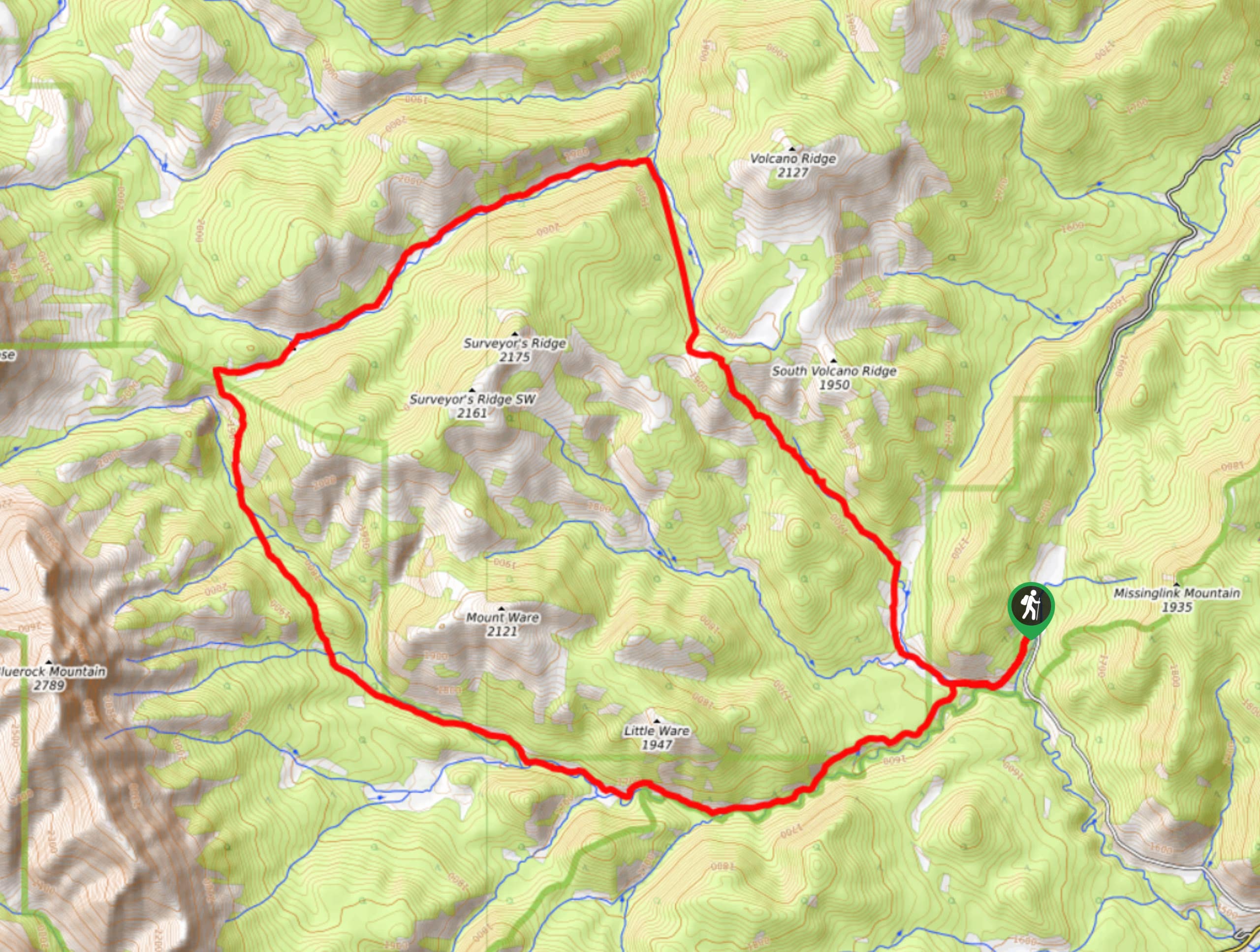
Gorge Creek Loop
Hiking the Gorge Creek Loop requires some route knowledge and a bit of extra effort as it is not as…
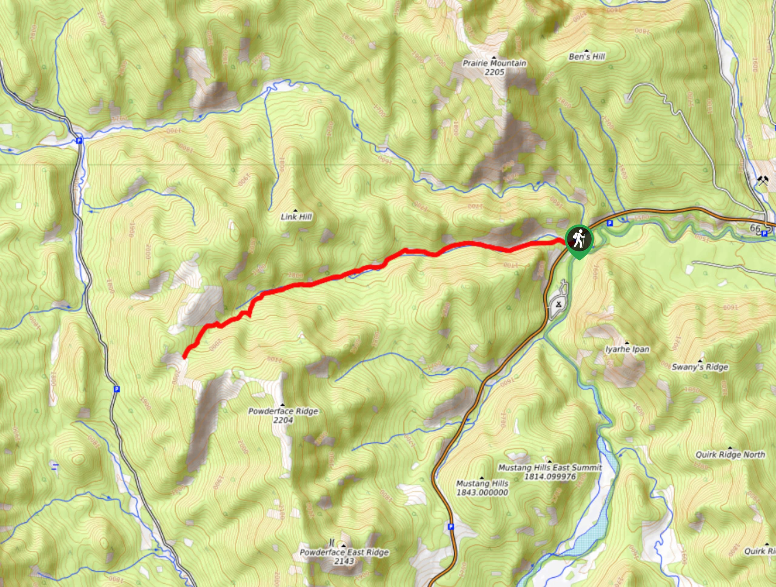
Powderface Creek Trail
The Powderface Creek trail in Kananaskis is a popular hiking, biking, and horseback trail, so be aware of traffic when…
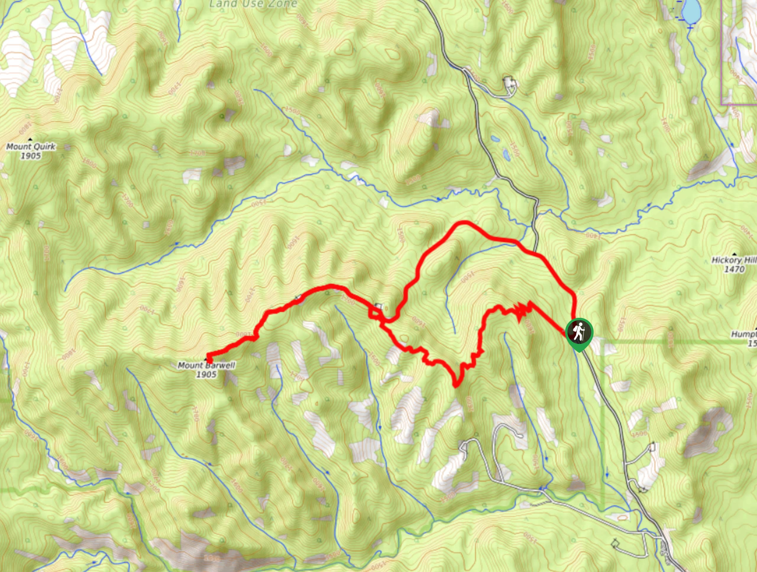
Barwell Trail
Hiking the Mount Barwell Trail is a half to full day effort that is very rewarding. With minimal crowds and…


Comments