
Brandywine Mountain Trail
View Photos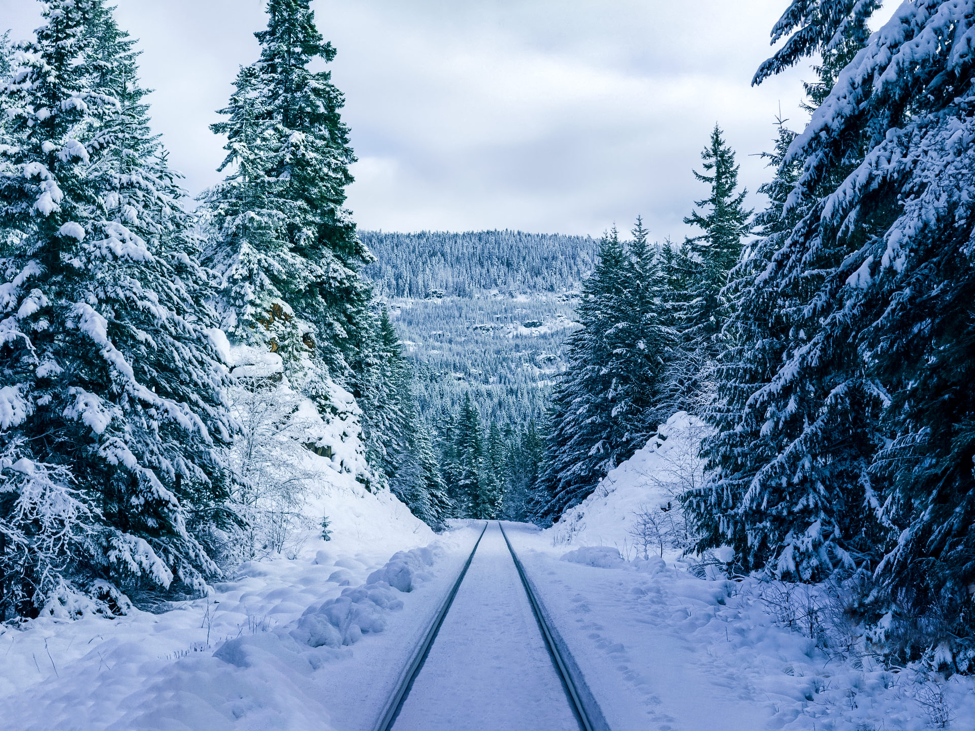
Brandywine Mountain Trail
Difficulty Rating:
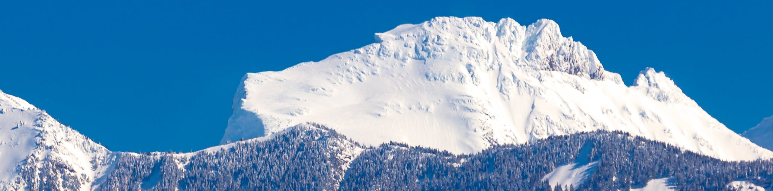
The Brandywine Mountain Trail is a stunningly scenic route near Whistler that takes hikers along a woodland path to the picturesque Brandywine Meadows before summiting Brandywine Mountain itself. The last portion of the hike is fairly technical, with steep slopes and some scrambling required, meaning that this is not a hike that should be undertaken by amateur hikers. Those that do trudge their way up the peak will be rewarded with spectacular views of Garibaldi Provincial Park and the Whistler area.
Getting there
To reach the lower parking area for the Brandywine Mountain Trail from Whistler, head southwest along BC-99 S and turn right onto Callaghan Valley Road. After 0.6mi, turn left onto Brandywine FSR and follow it until you hit a fork in the road. Here, signage will direct you 1.2mi to the lower parking lot.

About
| When to do | June-October |
| Backcountry Campsites | No |
| Pets allowed | No |
| Family friendly | No |
| Route Signage | Poor |
| Crowd Levels | Moderate |
| Route Type | Out and back |
Brandywine Mountain Trail
Elevation Graph
Weather
Brandywine Mountain Trail Description
The Brandywine Mountain Trail is a difficult but rewarding hike that contains some steep scrambles along exposed sections of trail during the final ascent of Brandywine Mountain. Because of these conditions, this trail should only be attempted by hikers with a strong level of hiking experience. Additionally, route finding along the upper portions of the trail can be difficult, as there are multiple routes to the summit. Bringing a GPS is definitely advisable.
For hikers with less experience who want to trek through the area without summiting the mountain, this trail is still an excellent way to spend the day, as they can simply cap off their hike when they reach the Brandywine Meadows. This is a gorgeous alpine valley that becomes populated with wildflowers and is the perfect place to relax and enjoy the fresh mountain air. Whether you decide to stop at the meadows or conclude your hike atop Brandywine Mountain, this trail is sure to leave you with some pretty amazing views.
The trail has two parking areas, the higher of which can only be accessed by 4×4 vehicles. For ease of accessibility, this route sets out from the lower parking lot. Leaving your car, make your way northwest along Brandywine FSR by foot to reach the upper parking lot and follow the trail to the right as it heads north toward the mountain. Follow this forested trail as it skirts alongside the creek and leads into the beautiful Brandywine Meadows. From here, continue along the trail as you begin to climb the steep incline.
After making your way up the scramble, follow along the ridge until you reach the summit. On a clear day, you will have amazing views of Garibaldi Provincial Park, as well as the area surrounding Whistler. When you’ve had enough of the fresh mountain air, head back down to the meadow and continue downhill to return to your car, having conquered the Brandywine Mountain Trail.
Similar Scrambles to the Brandywine Mountain Trail Scramble
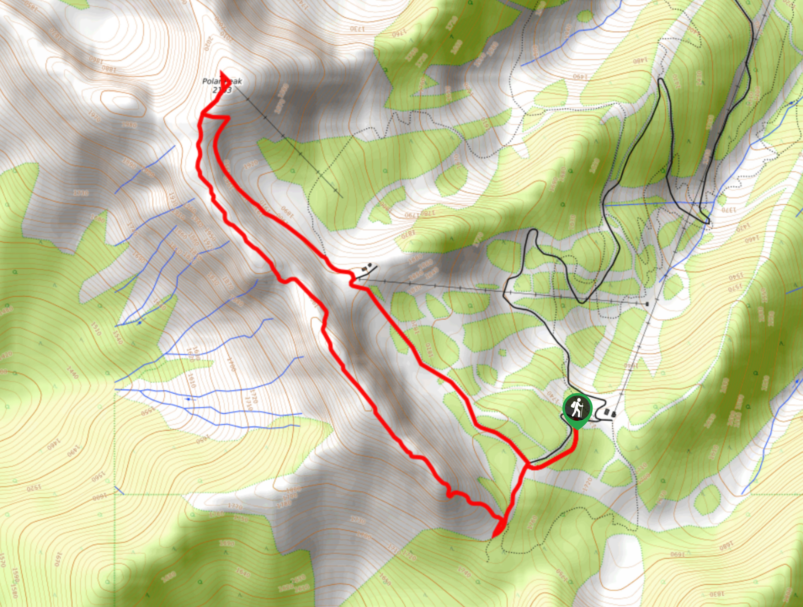
Polar Peak Ridge Trail
The Polar Peak Ridge Trail is a challenging 3.5mi route near Fernie that traverses an alpine ridge and…
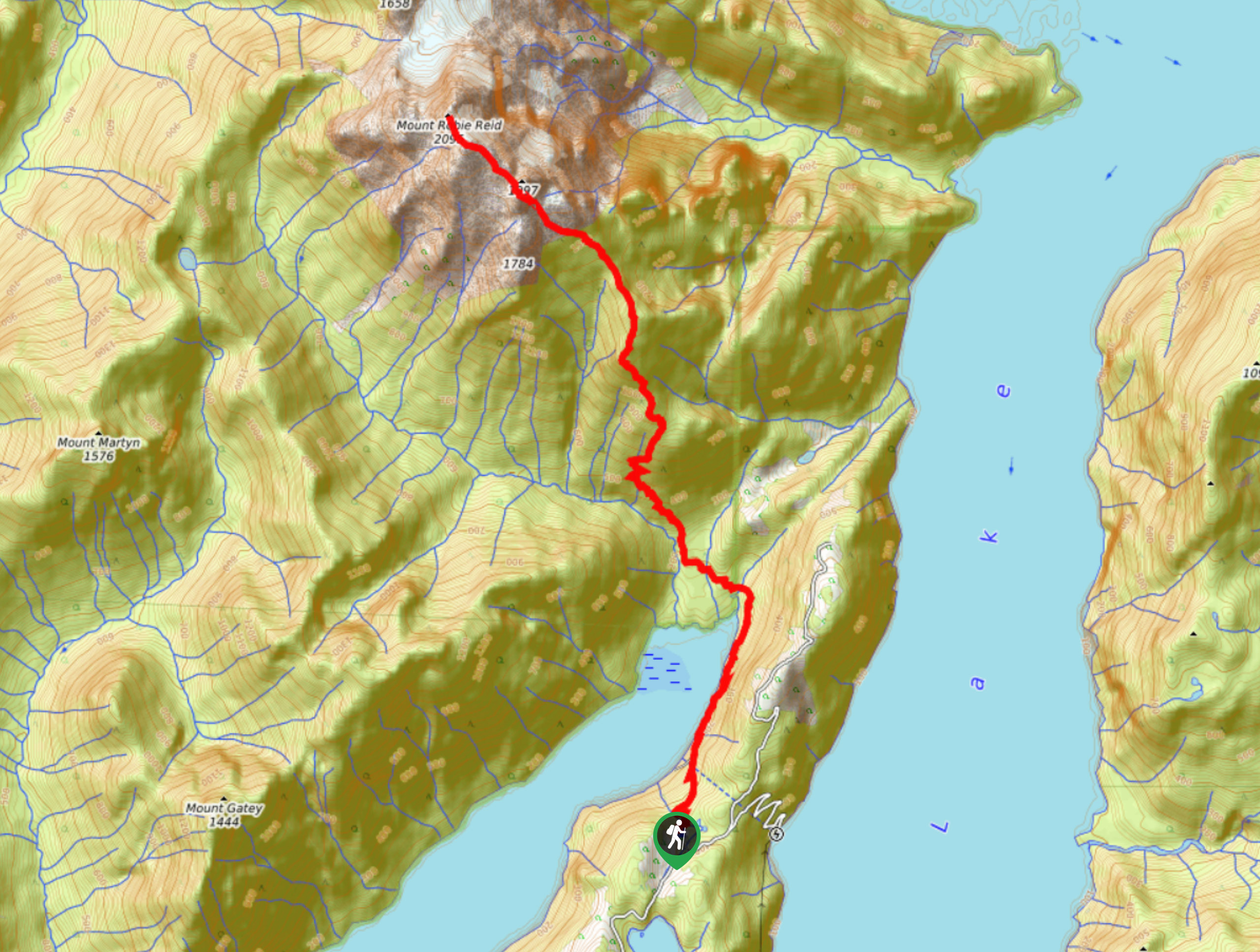
Mount Robie Reid Trail
The Mount Robie Reid Trail is an extremely difficult and technical trail that should only be attempted by hikers who…
Lady Peak Trail
Lady Peak Trail is a 4.3mi out-and-back hiking route near Bridal Veil Falls Park that features several creek…
Comments