Akamina Ridge Trail
View Photos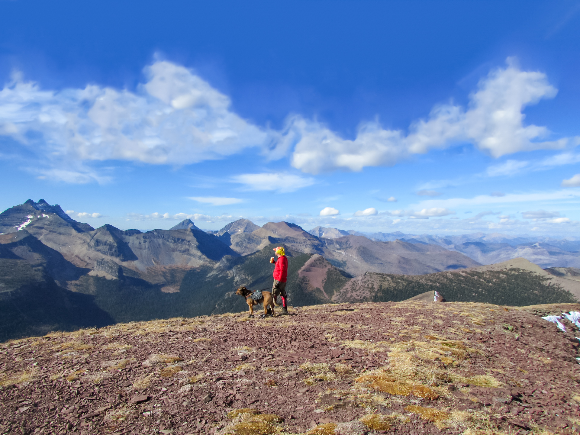
Akamina Ridge Trail
Difficulty Rating:
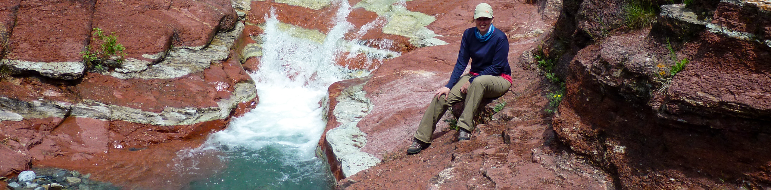
Akamina Ridge is an incredible hike and a must-do when visiting Waterton Lakes National Park. It’s reserved for experienced hikers willing to go the distance for high alpine views. This hike is filled with crystal clear lakes and panoramic views. Leave the kids behind—this one is difficult.
Getting there
To get to the Akamina Ridge trailhead, you will need to travel roughly 9.9mi from the town of Waterton. Head northeast on Highway 5 and take a left turn onto Township Road 13A, which becomes the Akamina Parkway. Continue towards Cameron Lake, where the road ends, and look for signs that say Akamina. The trailhead will be on your right when you see the signs.

About
| When to do | July–September |
| Backcountry Campsites | Akamina Creek (BC) |
| Pets allowed | Yes - On Leash |
| Family friendly | No |
| Route Signage | Average |
| Crowd Levels | Moderate |
| Route Type | Circuit |
Akamina Ridge Trail
Elevation Graph
Weather
Akamina Ridge Trail Description
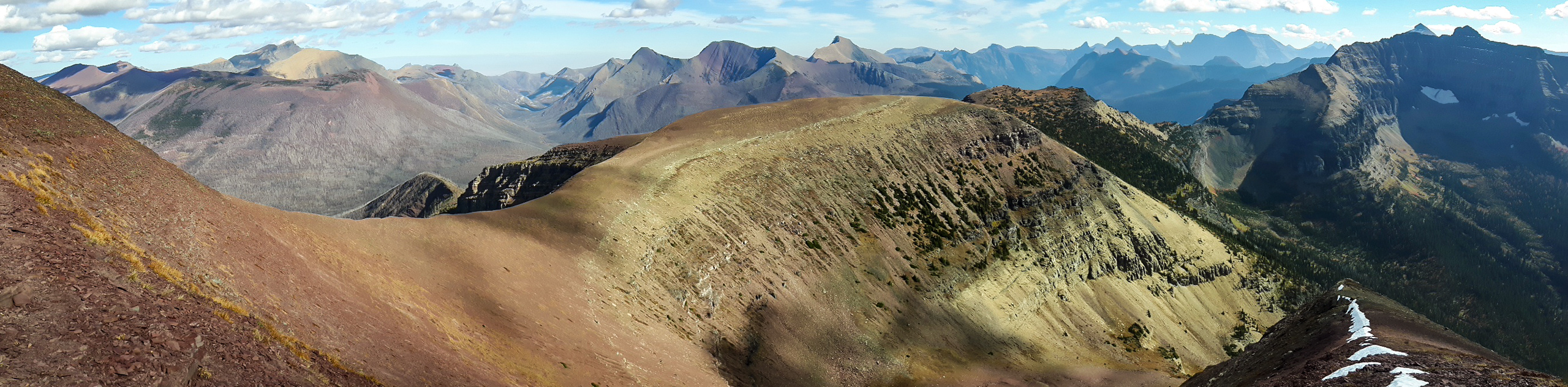
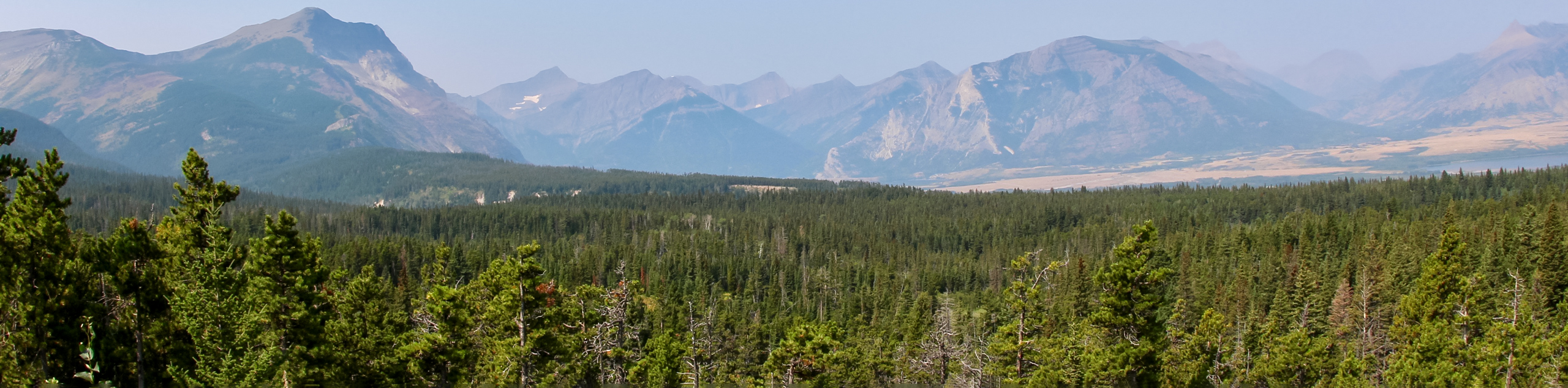
The Akamina Ridge hike begins in Alberta and quickly crosses into British Columbia after roughly 1.2mi. Most of the trail is within the Akamina Provincial Park boundary, despite starting in Waterton Lakes National Park. The trail will take you past Forum Lake on your way to Forum Peak before traversing Akamina Ridge and descending to Wall Lake.
From the trailhead, take the main trail and cross into British Columbia after 1.1mi. When you come to the junction at this point, take the trail to the left towards Forum Peak. It’s common for leisurely hikers to stay to the right and find their way to Forum Falls or Forum Lake without gaining elevation or covering much distance.
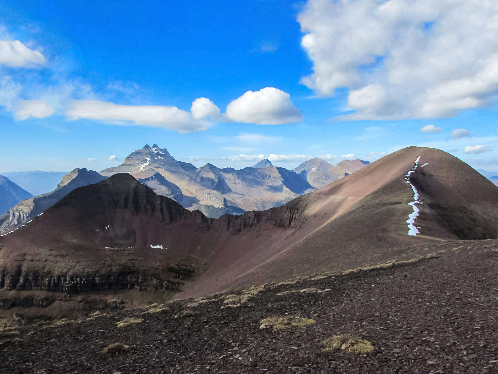
Continue along the Forum Peak Trail as you gain elevation. You’ll gain the ridge all the way to the peak, looking down at both Forum and Cameron Lakes. Some choose to take the Forum Lake Trail and bypass Forum Peak before gaining access to Akamina Ridge. Continuing from the peak, you’ll come to a junction where the trail from Forum Lake joins the ridge.
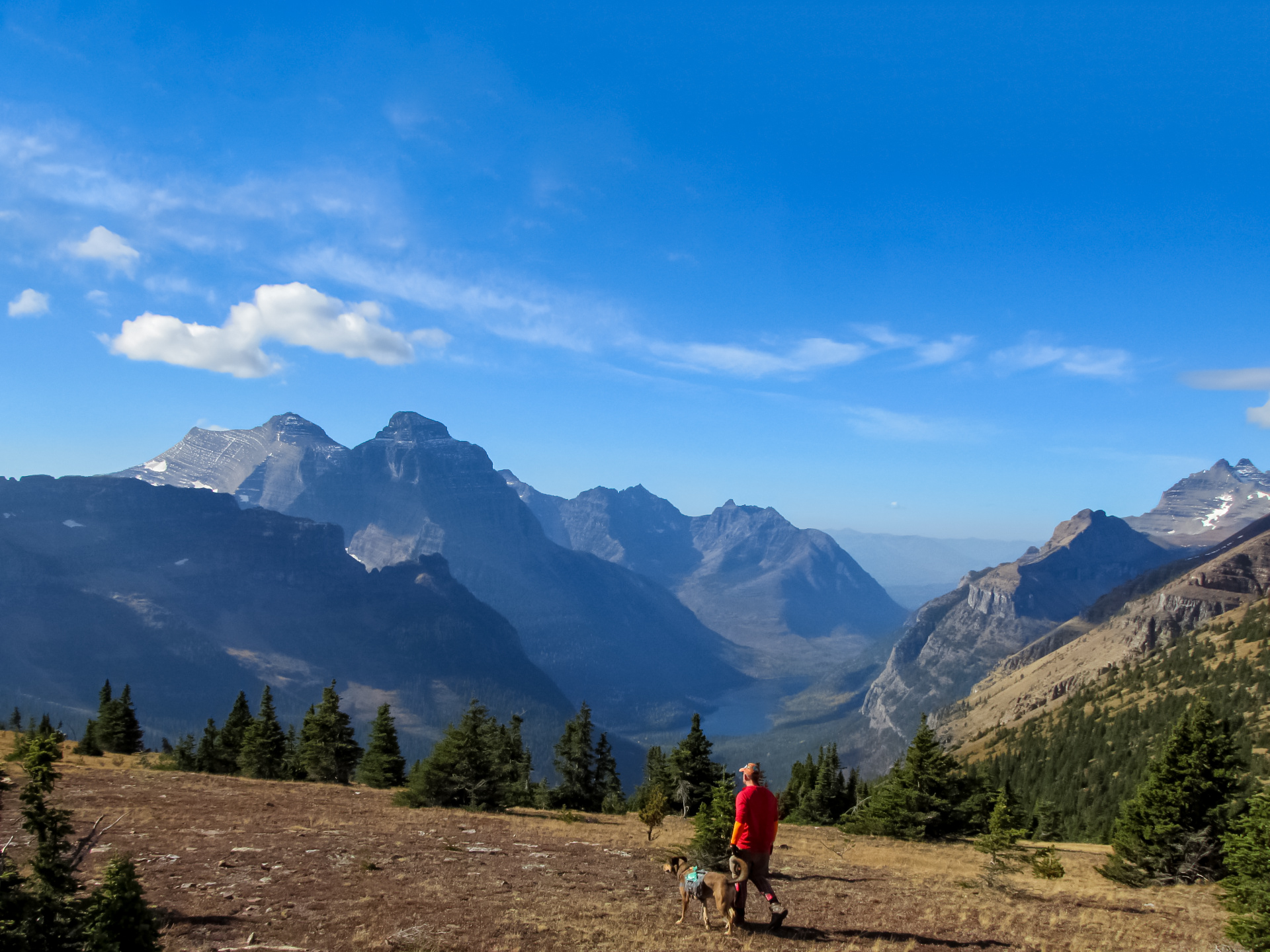
Cross Akamina Ridge and take in the breathtaking panoramic views from high above before descending to Wall Lake. You’ll join the Wall Lake Trail and circle back to a junction at Forum Falls, where you will find the Akamina Creek backcountry campground. Continue towards the main junction at the Alberta border, and make your way back to the parking area.
Similar Scrambles to the Akamina Ridge Trail Scramble
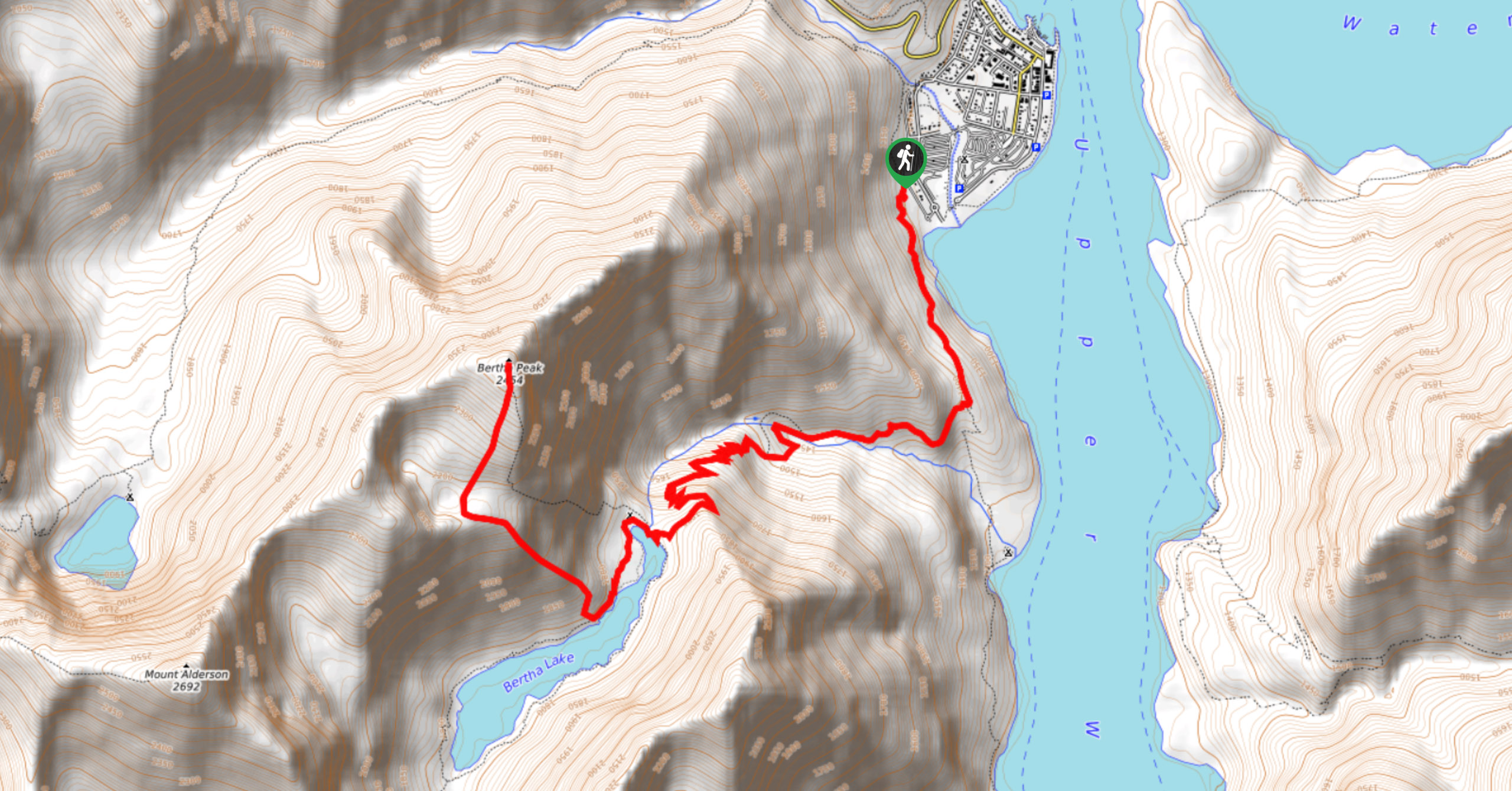
Bertha Peak Trail
The Bertha Peak Trail will challenge even the hardiest hikers. You’ll gain wonderful lake vistas of Bertha Lake, and your…
Sofa Mountain Scramble
The Sofa Mountain Trail scramble gains over 3281ft elevation in a short amount of time. Consider this trail…
Avion Ridge Scrambling Trail
Avion Ridge is an exciting hike with an option to hit a summit on the way. This is a rewarding…
Comments