
Seaside Loop Road Biking Route
View Photos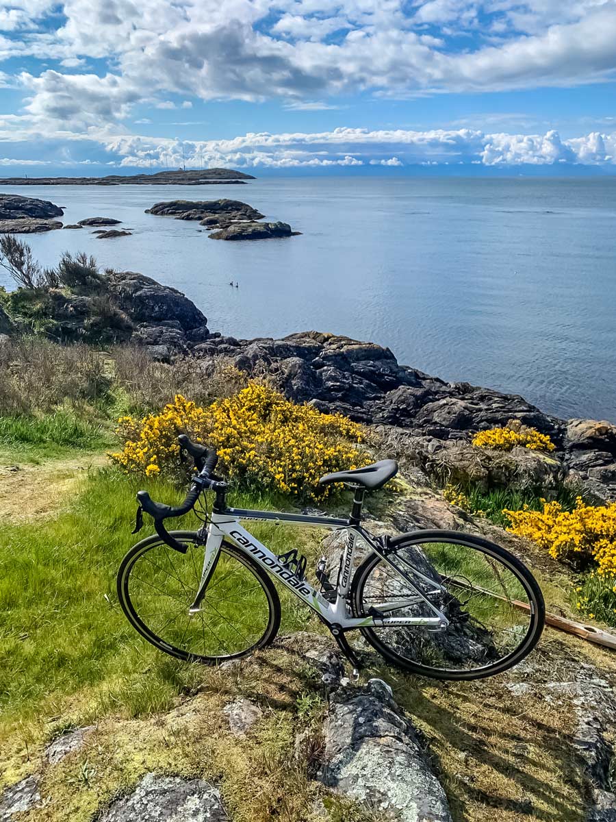

Seaside Loop Road Biking Route
Difficulty Rating:
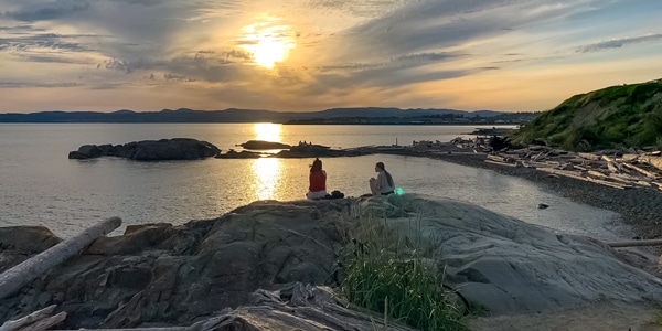
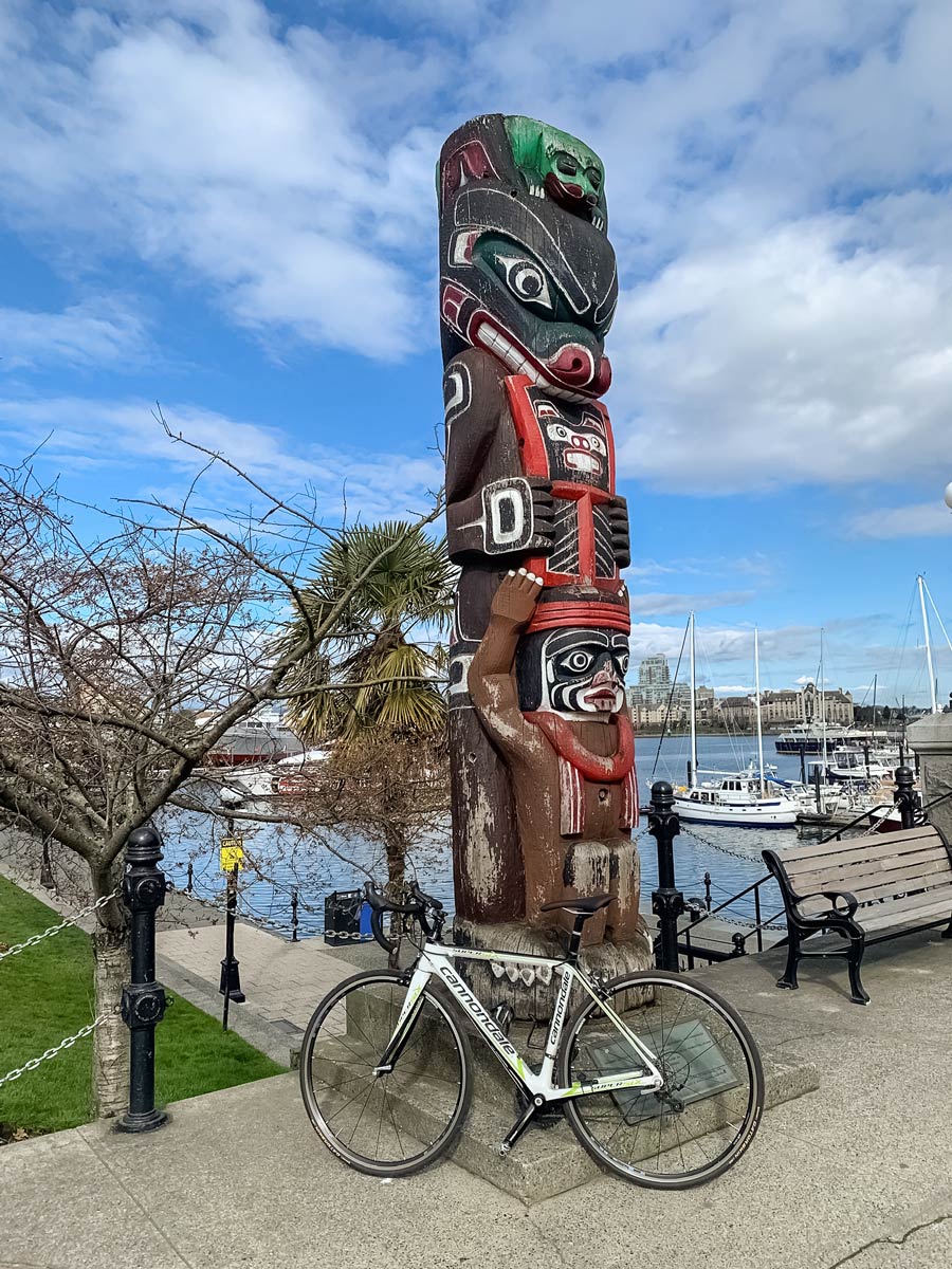
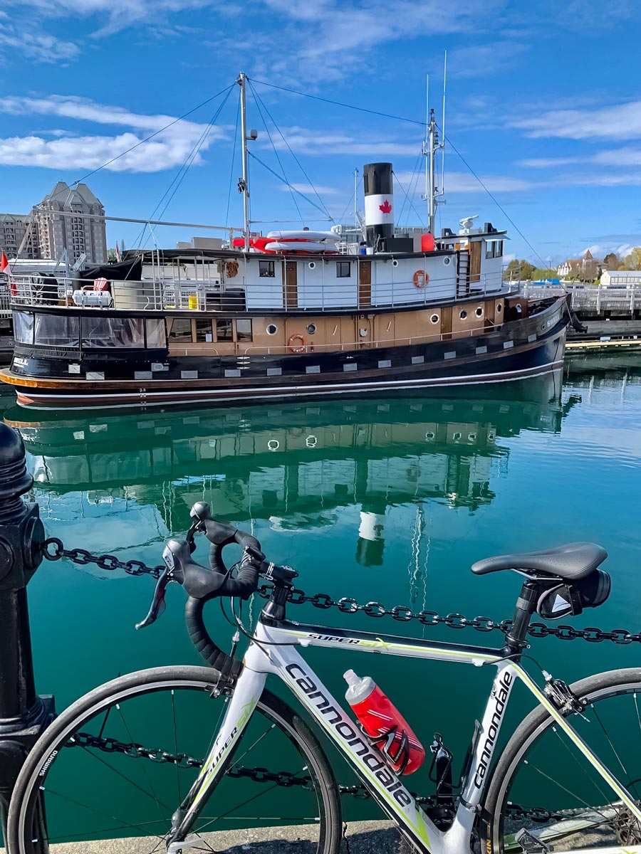
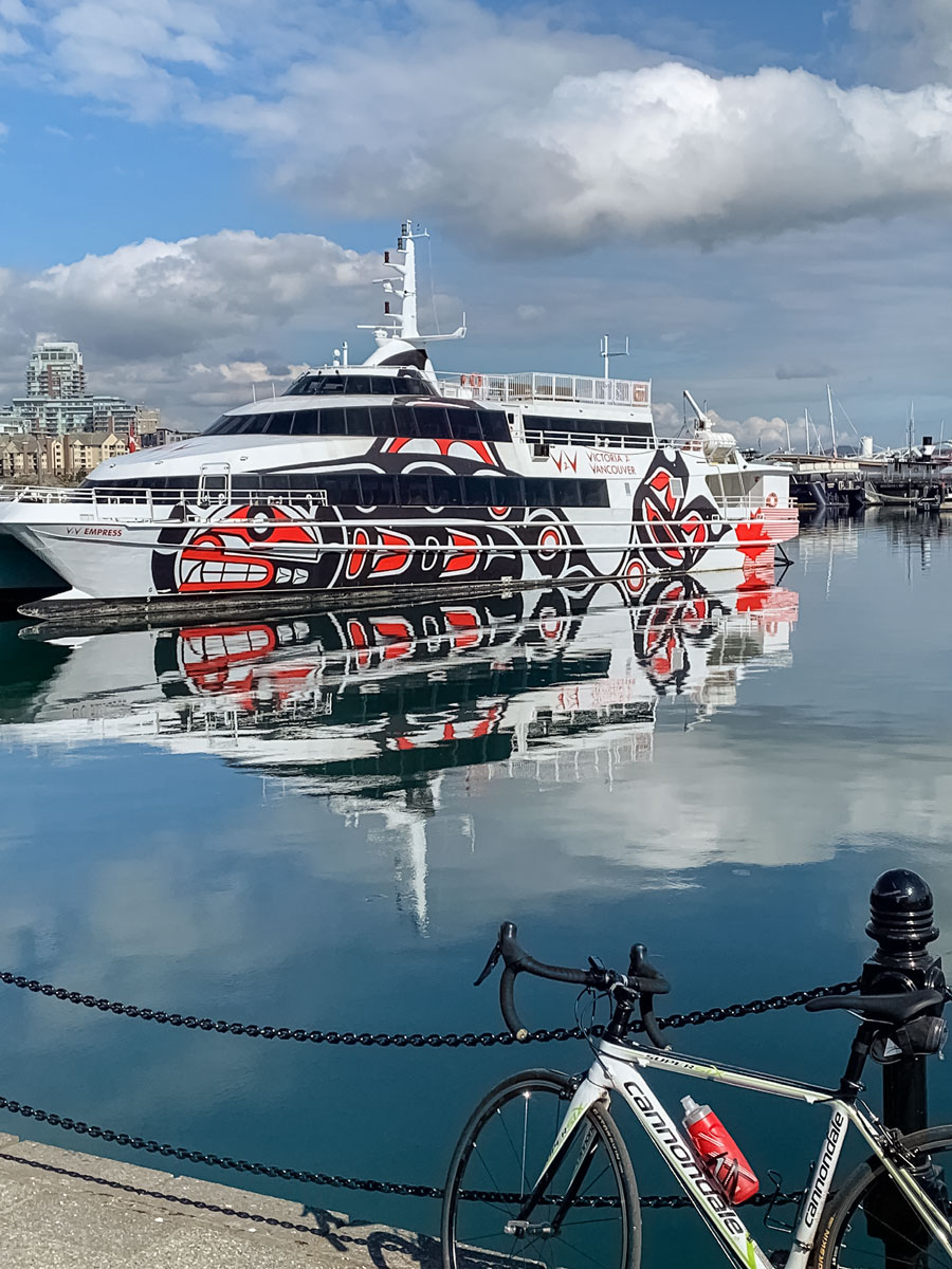
The Seaside Biking loop is one of the most scenic rides in all of Victoria, travelling along the beautiful bays of Victoria’s Inner Harbour and surrounding area. Stop to smell the salty sea air and take in the picturesque fishing villages lining the trail.
Getting there
From Downtown Victoria, follow Yates St. Turn left on Government St. Then, continue to Wharf St., turn right. The 900 Wharf Street City Parking Lot is on the left-hand side.

About
| When to do | March-November |
| Family friendly | No |
| Route Signage | Average |
| Crowd Levels | Moderate |
| Route Type | Lollipop |
Seaside Loop
Elevation Graph
Weather
Route Description for Seaside Loop
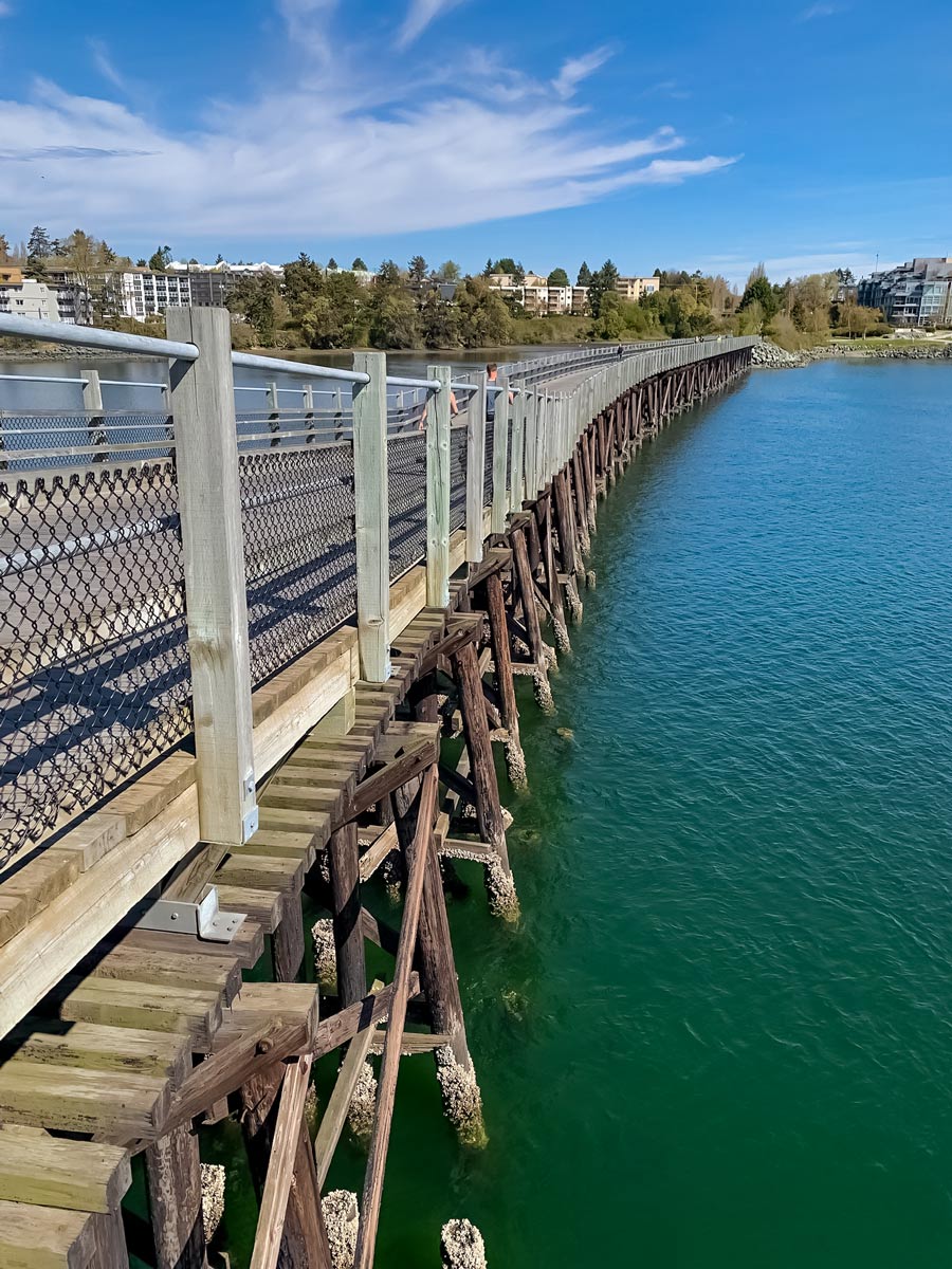
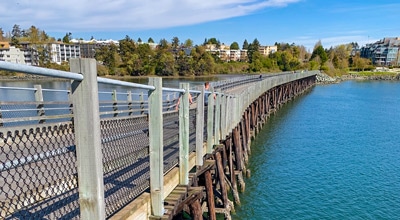
Hop on two wheels in Downtown Victoria at the Greater Victoria Visitors & Convention Bureau. Head right onto Government St., making your way towards the scenic Victoria Inner Harbour. Here, pass by Fisherman’s wharf, just outside of downtown in James Bay.
Enjoy the beautiful seaside views, as you continue onto Belleville St., following the path directly along the waterway, passing charming Fisherman’s Wharf Park.
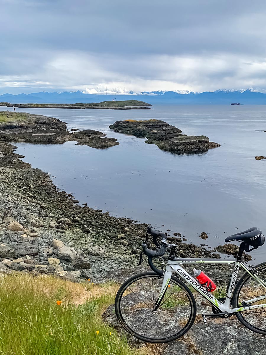
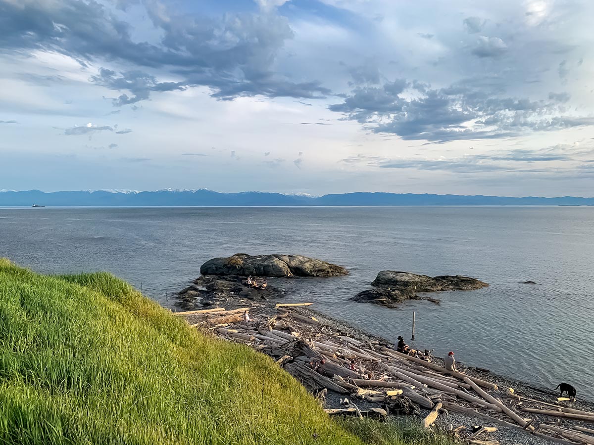
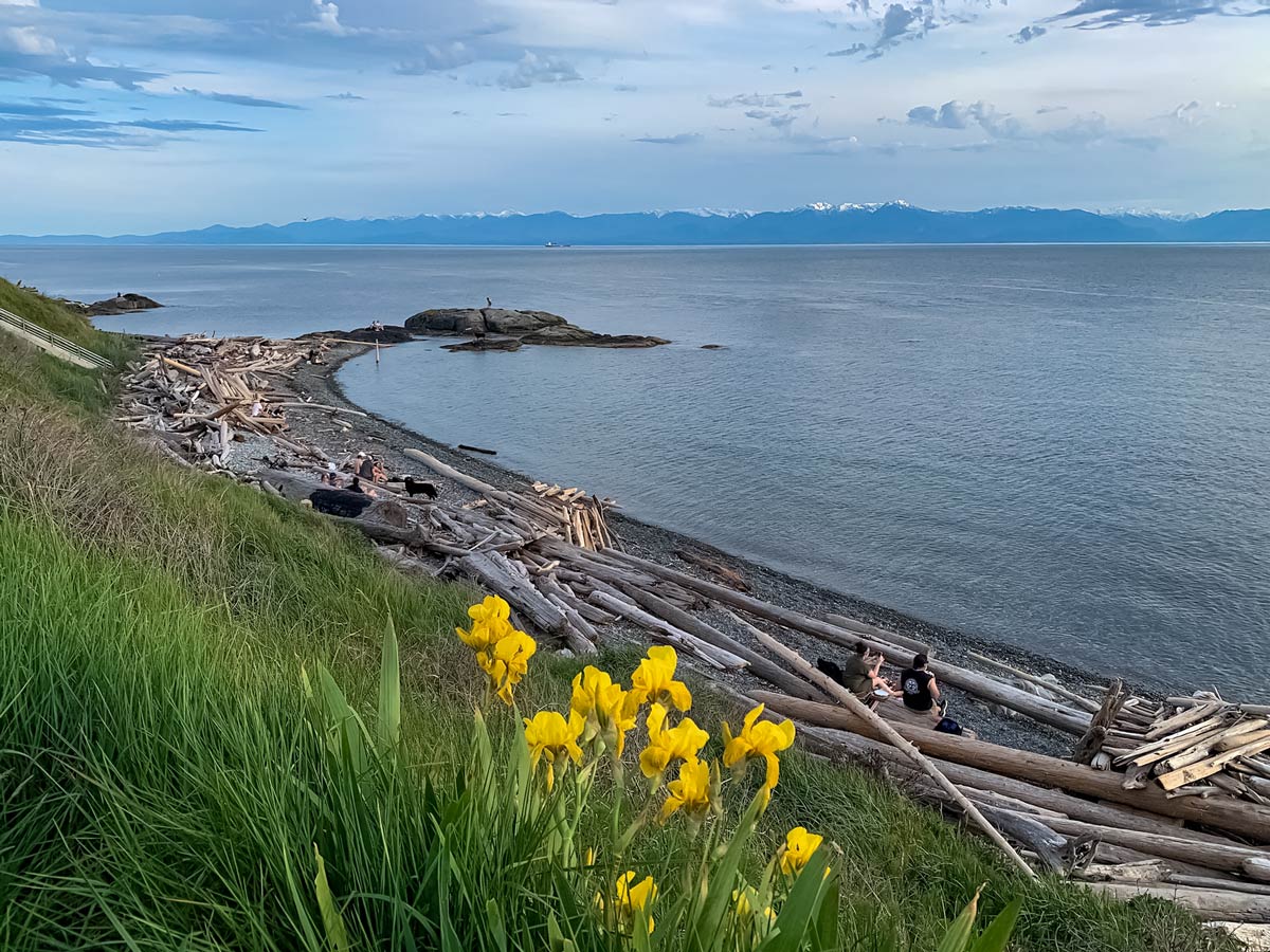
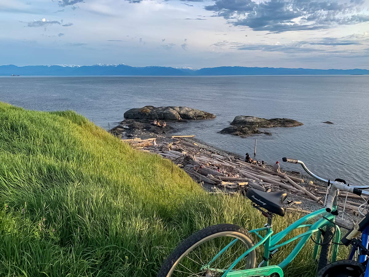
Just past the park, make a left onto Dallas Rd., taking in the scenic coast blooming with yellow and purple wildflowers, with mountain views off in the distance.
You’ll pass multiple picturesque lookout points: Ogden Point Sundial & Finlayson Point, but it’s up to you whether you want to stop for a quick snapshot or not.
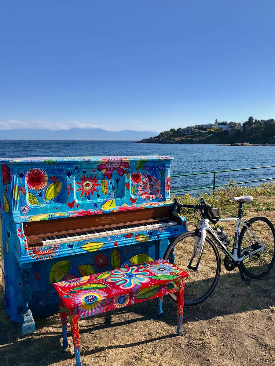
Soon, you’ll arrive at lush Beacon Hill Park, the crowning jewel amongst Victoria’s parks, sitting right along the bay. If you’d like, feel free to do a loop around the park or get off the bike and explore on foot, though it will add kilometers to your route.
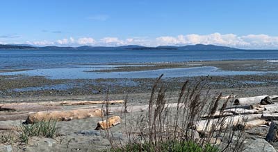
Pass Spiral Beach on your right and you’ll arrive at Clover Park Point, offering stunning views from the look out on King George Terrace. You might also be able to spot windsurfers in the water, depending on the season
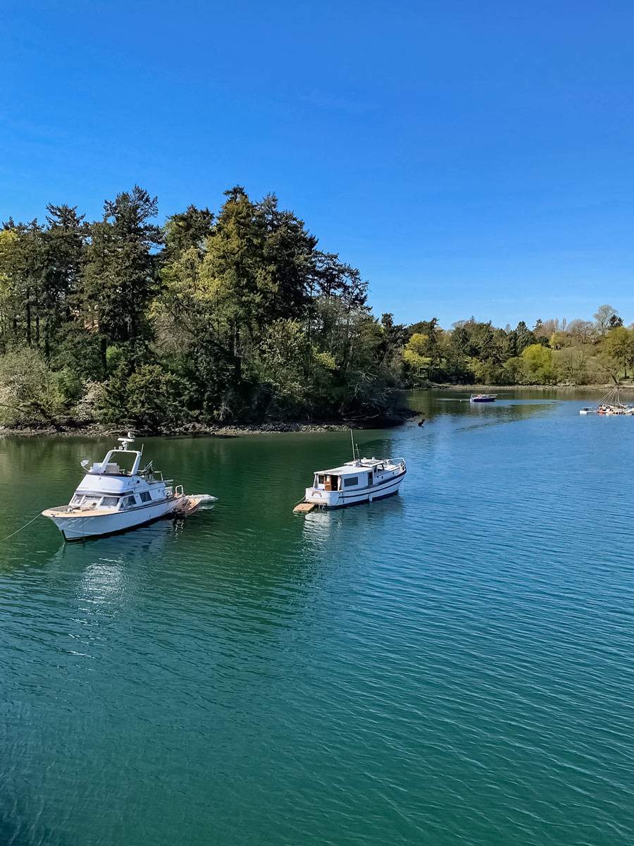
Continue following the path directly parallel the water for 8.3km, enjoying the scenic vistas and turquoise blue waters you pass on the way towards Victoria Golf Club on Beach Drive.
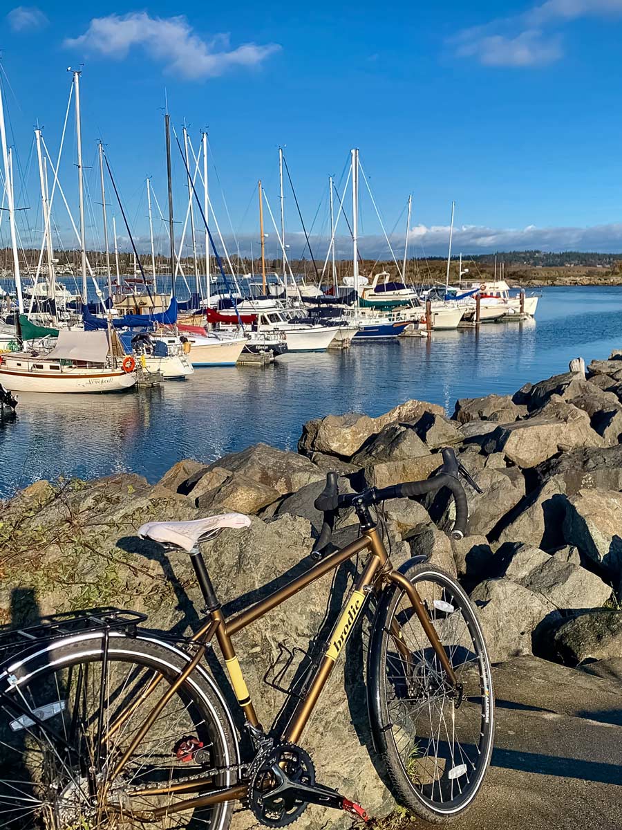
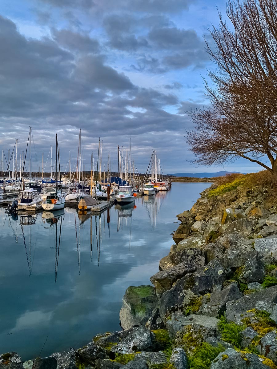
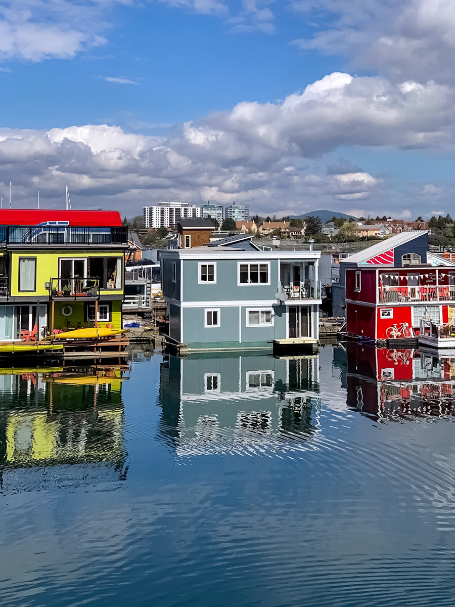
Cycle further along Beach Road until you hit Oak Bay Marina, a pretty, colourful spot housing everything from sail boats to giant yachts.
After a quick rest here, hop back on and peddle past Haynes Park towards Willows Beach. This is a beautiful spot to stop and relax on the sandy banks and is an especially popular spot for families. If you brought your swimsuit, now would be a great time to take a refreshing dip!
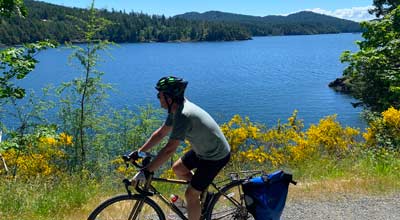
Follow the path towards Cattle Point, there is an optional small loop that will bring you out to the point. While our map doesn’t lead that way, it’s well worth the quick detour to learn about the vernal pools there, get a better look at the mountains and sometimes, you may even spot a whale.
Continue on Beach Dr., as the path turns into Cadboro Bay Rd. Here you’ll find Gyro Park, which has another picturesque beach that makes for a great photo stop.
Follow the bend in the road, heading into Cadboro Bay Village, following the lollipop loop in the mapped route.
For a rest break, you can grab coffee at Olive Olio’s Cafe or the local Starbucks. If you are hungry and interested in a lunch stop, try Thai Lemongrass.
After Cadboro Bay Village, loop around the high end neighbourhoods of Ten Mile Point and Queenswood before heading back the way you came.
While we recommend heading back the same way as it is so scenic, you could do an optional loop by continuing up Arbutus to McKenzie to Lochside trail (by the London Drugs) and then connecting to the Galloping Goose downtown.
Insider Hints
Start the day with a coffee at Ogden Point Cafe
This is an easy ride to break down to a shorter trip for those wanting a shorter ride as there is street side parking for most of the trip.
Similar Road Biking Routes to the Seaside Loop Road Biking Route
Lochside Trail to Sidney
Enjoy a truly picturesque bike ride along the waterfront while biking the Lochside Trail to Sidney bike route. With the…
Galloping Goose to Thetis Lake
Set out on the Galloping Goose to Thetis Lake bike ride to explore picturesque seaside towns and peaceful glistening lakes.…
Goose to Sooke Potholes
On the Goose to Sooke Potholes biking route, explore multiple, stunning national parks: Lake Regional Park, Roche Cove Regional Park,…
Comments