Nagarkot Enduro Mountain Biking Trail
View Photos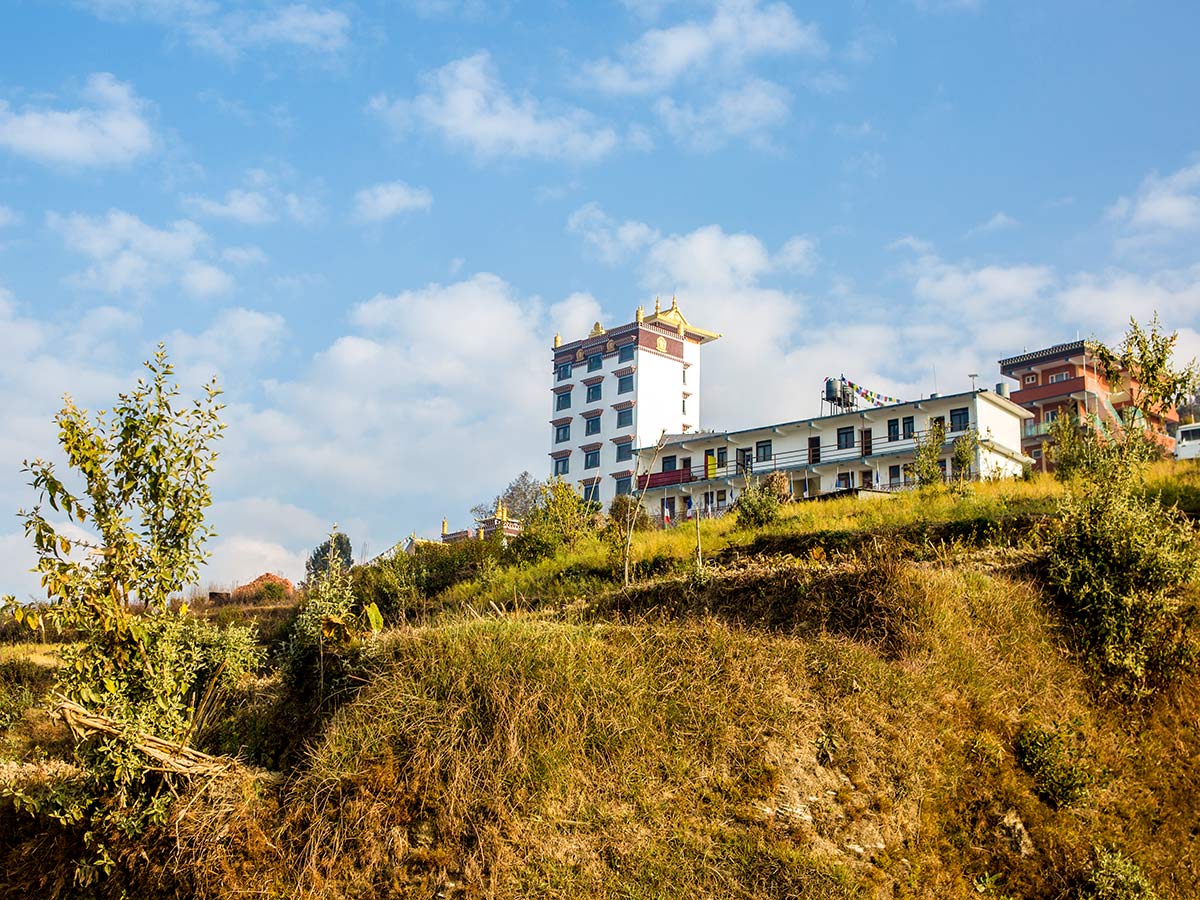
Nagarkot Enduro Mountain Biking Trail
Difficulty Rating:
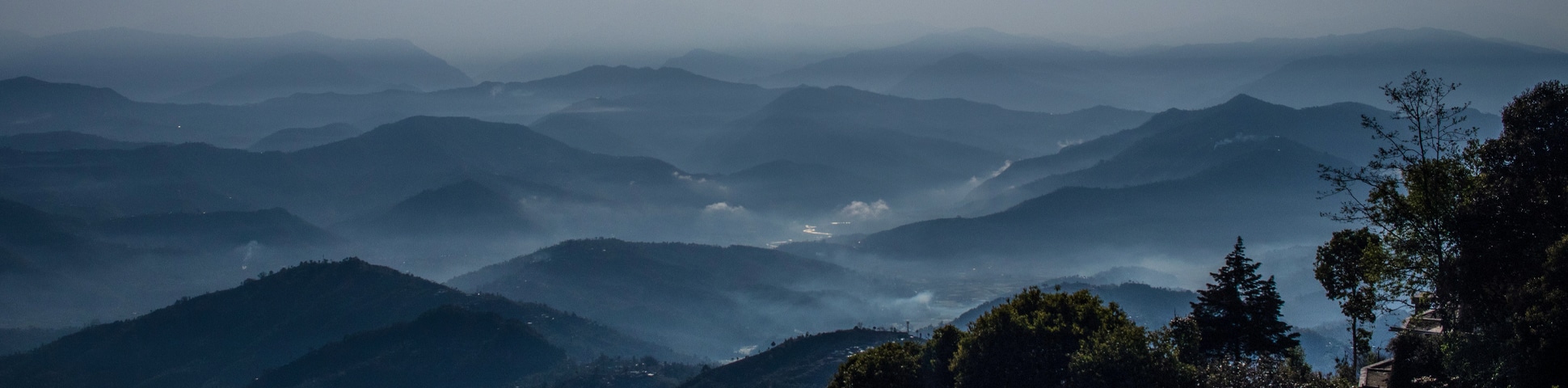
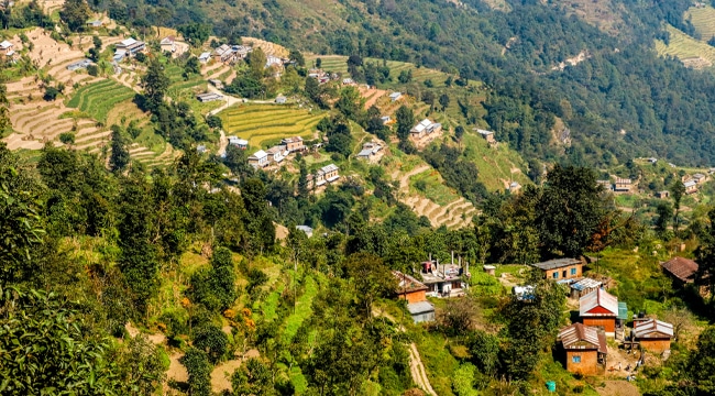
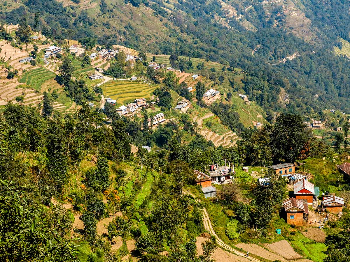
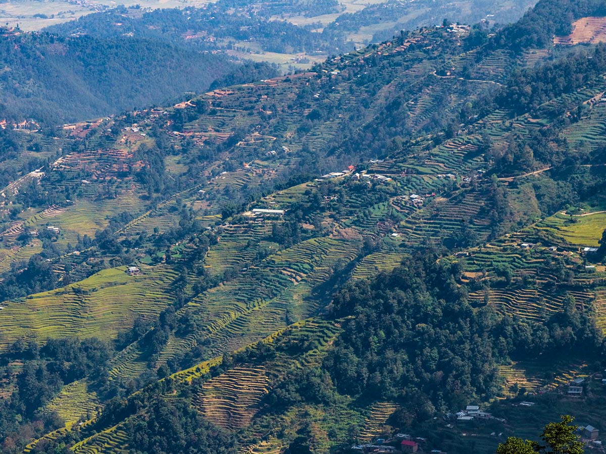
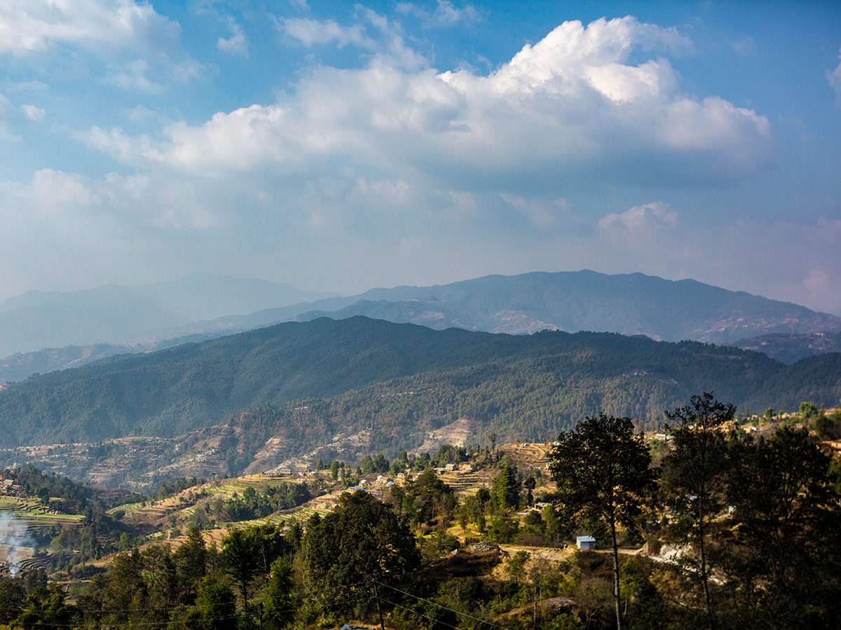
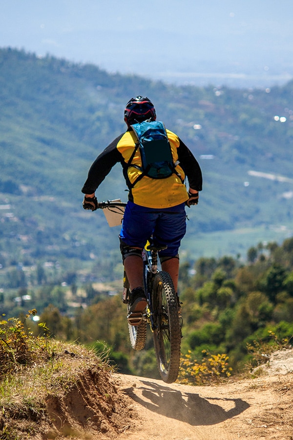
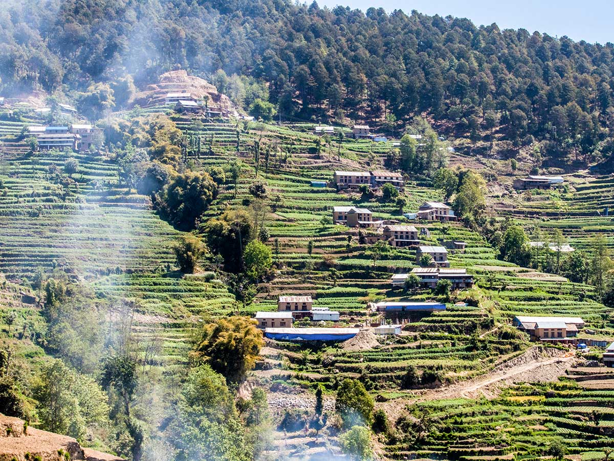
Feel like a king as you take on the ridges of Nagarkot hill and challenge yourself with its huge drops and sharp switchbacks. Delight in the variety of trails Nagarkot offers, from tiring ascents to wild downhills, all the while taking in the beautiful scene of quiet villages, terraced farmlands, and dense forests.
Getting there
The route starts from Nagarkot View Tower, take a taxi there.

About
| When to do | March to May and September to October |
| Pets allowed | Yes |
| Family friendly | Older Children only |
| Route Signage | Good |
| Crowd Levels | Low |
| Route Type | Circuit |
Nagarkot Enduro
Elevation Graph
Weather
Route Description for Nagarkot Enduro
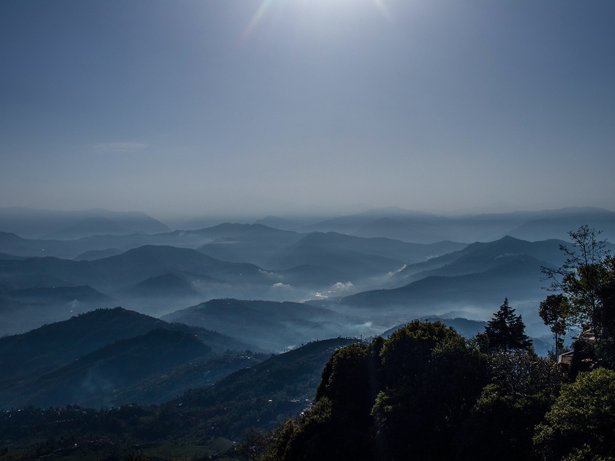
Nagarkot is a small town located on the northern fringe of Kathmandu Valley, famous for granting stunning views of a number of Himalayan peaks. Nagarkot is also a hill station that offers its many visitors a place to relax and soak in nature and take advantage of the outdoors. It also has some very good mountain biking.
For this ride, it is recommended to have a shuttle service take your bike up to the starting point of today’s ride at Nagarkot View Tower. To hire a pickup truck for a day, it will cost around $50-$60.
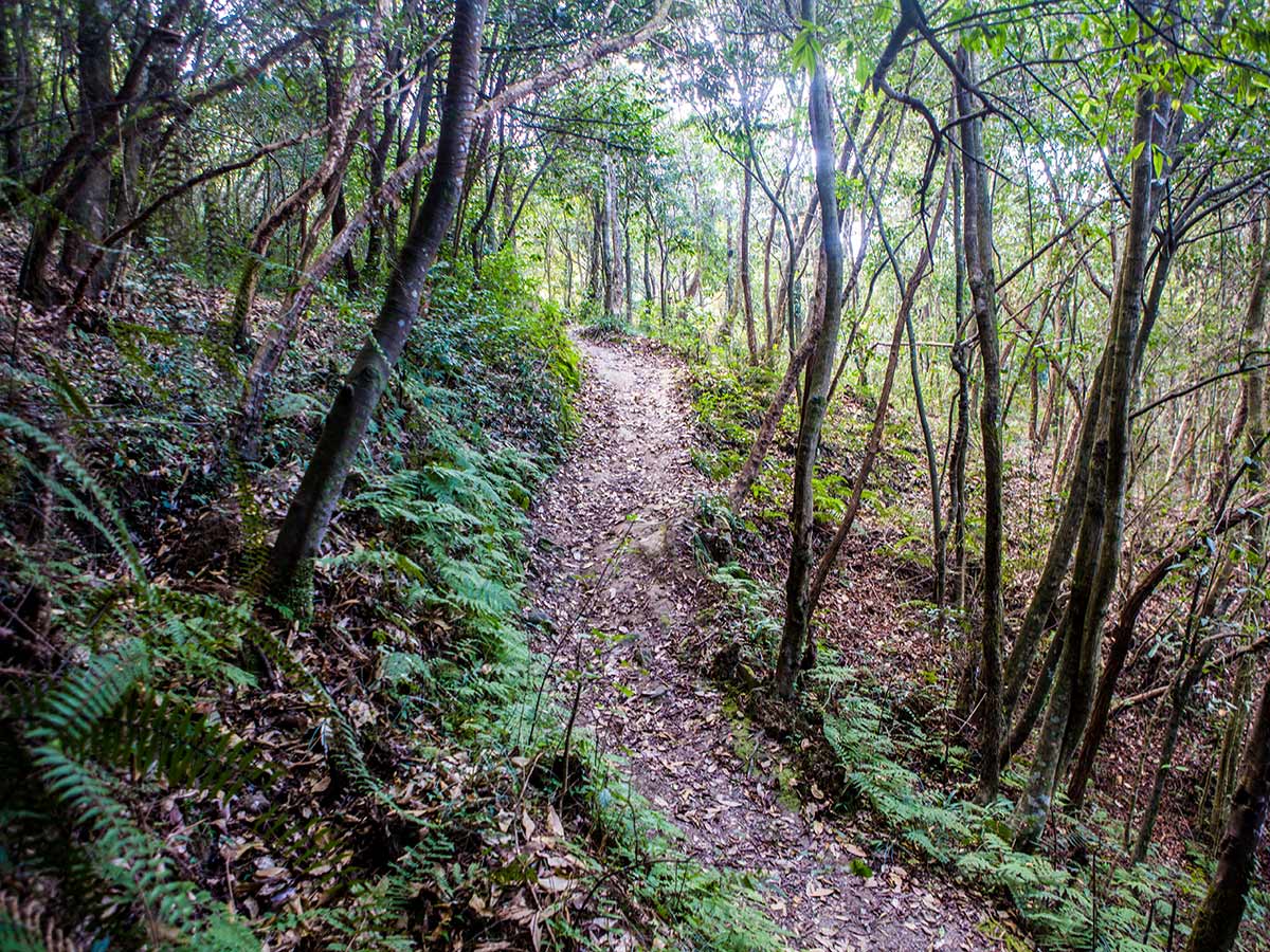
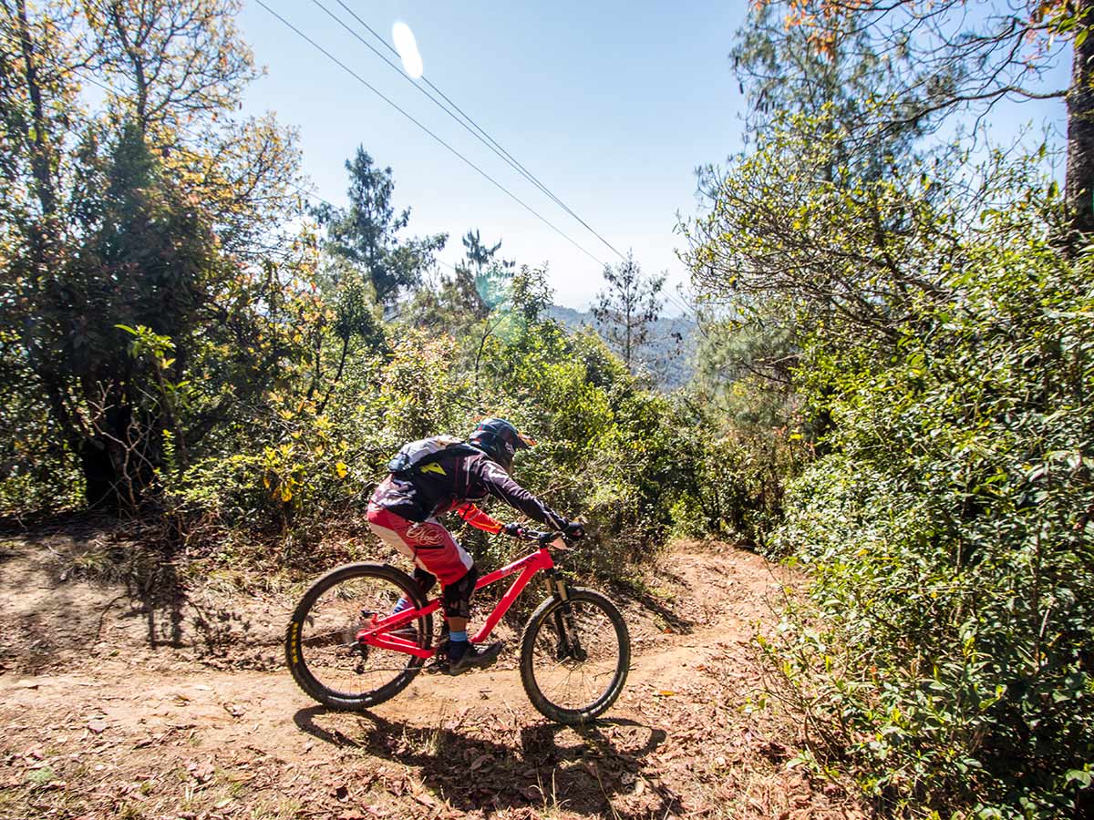
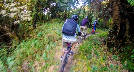
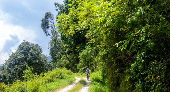
After getting to Nagarkot View Tower, unload your bike, gear up, and begin to head east downhill along the paved road. After covering close to 328ft, you’ll take a right turn to veer away from the main road. This first section of the trail has technical downhills with huge drops where you’ll follow a single-track trail lined with dense forest. You’ll lose more elevation than you gain as you first head southwest before coming back north. Find the gnarly lines in the trail as you climb your way back to the View Tower.
Hydrate well and fuel up to revitalize your body after getting to the View Tower. Then comes the second and the final section of the trail. For this, you head west from the View Tower to make the first left to reach Geodetic Observatory. Leaving the observatory behind, you’ll make your way southwest yet again to work the winding single-tracks. The first 1.2mi of the trail is a series of downhill switchbacks through thickly covered trees. You’ll lose a staggering 1312ft while gaining only about 328ft. The trail hereafter is not as technical as the trail you just completed, it’s a combination of gradual inclines and ascents, with the exception of having one huge drop at the end. You lose about 656ft while gaining 492ft in this part of the trail.
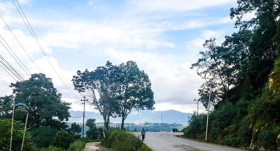
You’ll know you’ve reached the end of the trail when you make it to the paved road. Ask your pick-up vehicle to wait for you just before the turn to the Chautara Bus Stop. Load your vehicles and relish your time on the trails as you take a scenic route back to Kathmandu.
Insider Hints
Rent a vehicle or hire a shuttle service to take you and your bike to Nagarkot View Tower.
Pack plenty of water and energy bars to keep your strength up.
Similar Mountain Biking Trails to the Nagarkot Enduro Mountain Biking Trail
Kakani Scar
This is a massive day, biking one of the less-frequented routes around the Kathmandu Valley. You’ll get an authentic feel…
Budhanilkantha to Tokha
The ride from Budhanilkantha to Tokha is particularly enjoyable in terms of the diverse terrain and the opportunity to visit…
The Marijuana Loop
Developed by a rock star and mountain biking enthusiast, the Marijuana Loop is a trail within Kathmandu Valley. It has…
Comments