Tiddlywinks Mountain Biking Trail
View Photos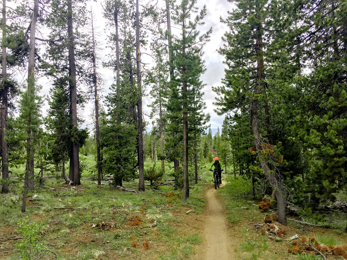
Tiddlywinks Mountain Biking Trail
Difficulty Rating:
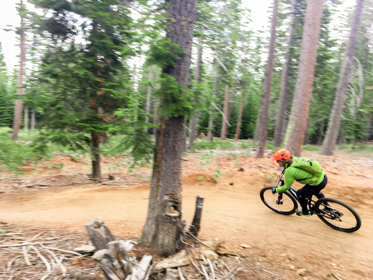
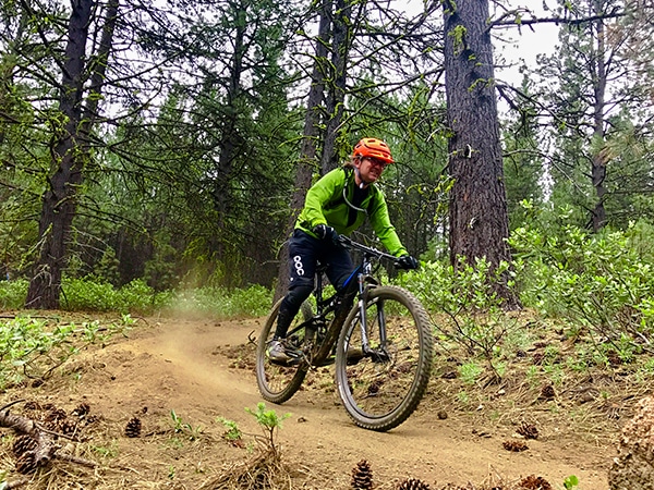
This popular trail is the king of variety. With a bit of cross-country riding, a short climb, extremely flowy downhill and some technical riding, this trail will please all mountain bikers. The middle section of the Tiddlywinks trail, however, is best known for its man-made berms and tabletop jumps.
Getting there
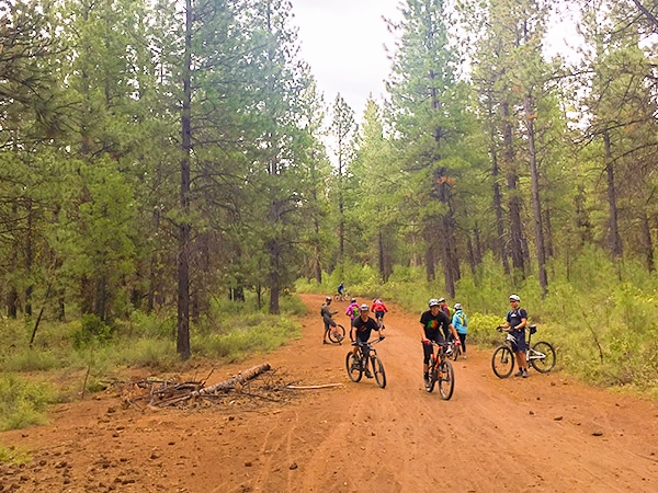
First you will have to drop off one vehicle at the Cascade Lake Welcome Centre/Ranger Station. To get there from Bend, drive along the Cascade Lake National Scenic Byway (AKA Colorado Avenue while in Bend) for just over 5.0mi. The welcome station will be signposted on your right. Park one car here, then hop in the other to gain some elevation! Continue driving up the Scenic Byway for just over 7.0mi until you see the signs for Wanoga Snow Park on the left. This is the second snow park you will pass. Once off the highway turn left to find the busy trailhead, including pump track and washroom.

About
| When to do | Late spring through to early fall, avoid the snow and heavy rain in the winter |
| Toilets | At trailhead and trail-end |
| Family friendly | Older Children only |
| Route Signage | Average |
| Crowd Levels | High |
| Route Type | One Way |
Tiddlywinks
Elevation Graph
Weather
Route Description for Tiddlywinks
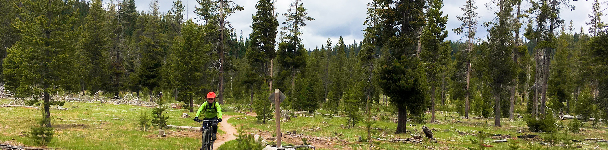
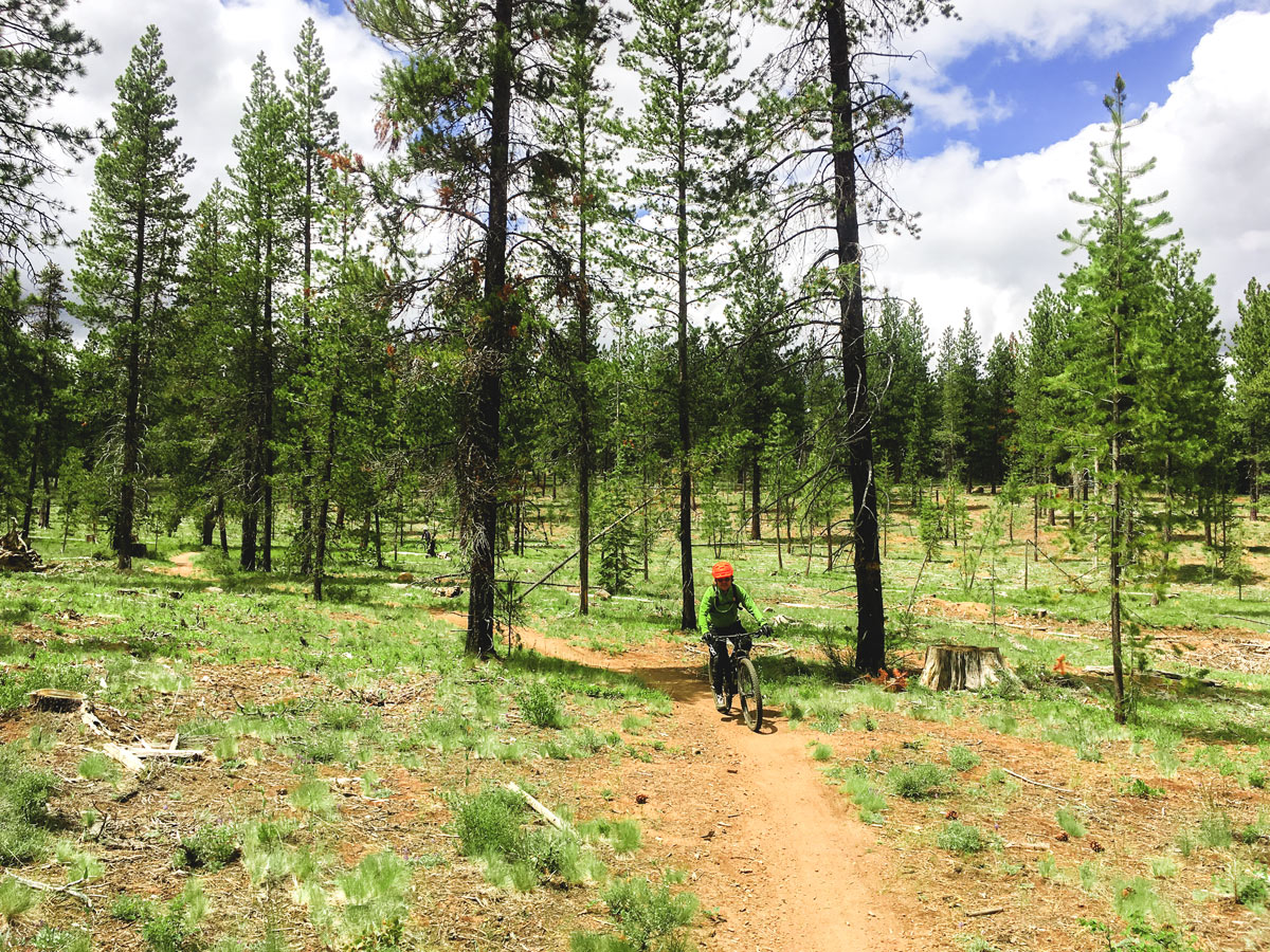
At the end of the parking lot find the Tiddlywinks Trailhead. Begin along this trail as it descends slightly then enters a flat, lightly forested meadow. This is the XC portion of the trail. Soon you will reach a junction with a yellow “Y” on it. There are many of these on the trail, and all they mean is that you have two options on how to proceed. Usually they also will have stickers on them identifying the respective difficulties of your two options. Don’t worry, they all meet up at the same place!
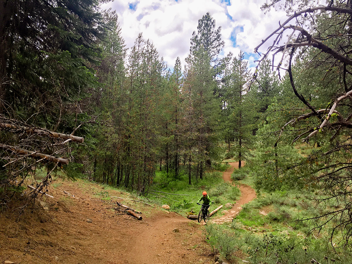
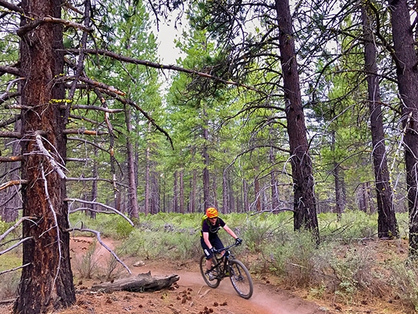
After getting all warmed up from the meadows you will start a climb. Though short, this unexpected climb can really catch people off guard, as most people proceeding along the trail are expecting a downhill romp. Finally, you will reach a signposted junction. Turn left here to continue along Tiddlywinks Trail. Now the trail will start to really go downhill!
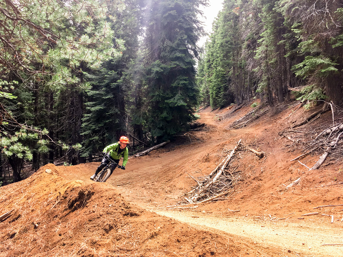
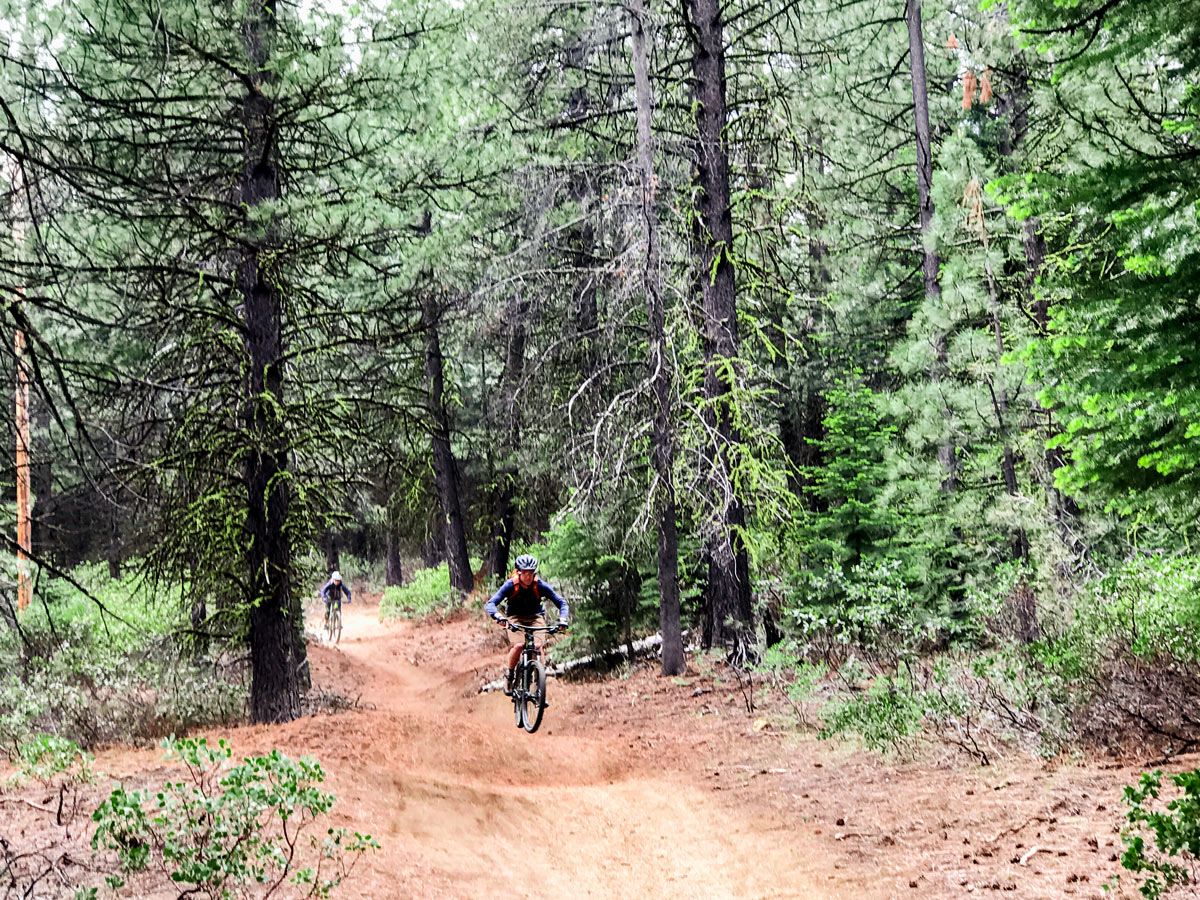
After passing through a short section of some rather dull forest you will enter the wide open “berm city”. Pop your bike in the highest cog and fly down the smooth berms and tabletop jumps. If you don’t want to jump, don’t worry as none of these jumps are mandatory.
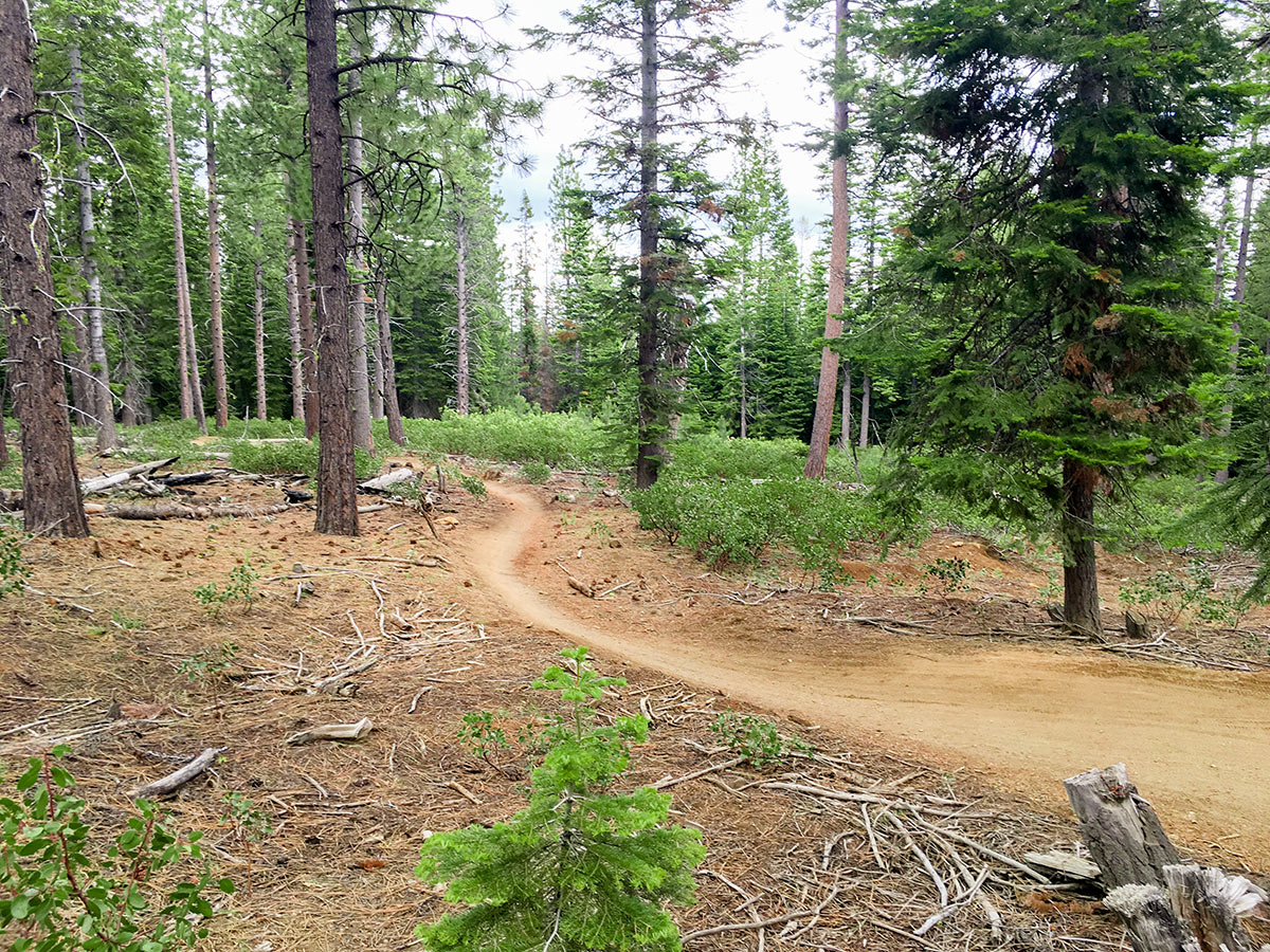
Approximately four-fifths down Tiddlywinks Trail you will reach a junction with Larsen’s turning off to the right. Keep left here to finish off Tiddlywinks. A short while down you will reach another junction, this one much larger. Turn right here to continue along Storm King, a moderate cross-country style downhill ride. Do not turn left along Storm King! That’s what we did once and crossed the highway accidentally. This trail does not cross the highway.
Storm King undulates up and down through mostly flowy riding. After another few miles you will reach another junction. Here you will turn left to continue along Catch and Release all the way back to the Welcome Centre. This trail crosses the road several times, so watch out for cars.
Insider Hints
If you want to isolate the downhill magic of Tiddlywinks, there is a popular trailhead called “Greens Gate”. If you choose to park here, take a left at the Storm King junction instead of right and ride out to the highway, then go down it for under 100 yards.

Similar Mountain Biking Trails to the Tiddlywinks Mountain Biking Trail
Whoops Loop
Bend’s own “A-Line”, Lower Whoops Trail is the quintessential downhill flow trail of the area. You’ll find plenty of mountain…
Tyler’s Traverse
A favorite mountain bike trail amongst locals, this classic shuttle run is more technical than its brother Tiddlywinks. Though this…
Phil’s Trail
The namesake trail for the popular Phil’s Trailhead in Bend, this mostly one-way trail is a classic mellow descent. With…
Tom Gregory 4 years ago
Tiddlywinks is much better downhill and a much longer ride, fantastic flow trail, super smooth and fast
HighRyder 5 years ago
Tiddlywinks was a perfect combination of work and fun! really good ride.
Tom Tom 5 years ago
Great ride! Would recommend