Smith Rock Summit Trail Loop Mountain Biking Trail
View Photos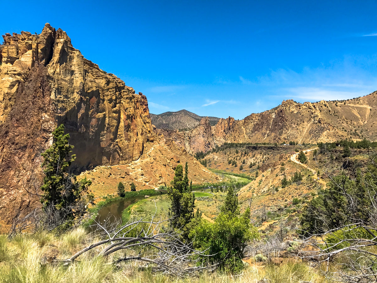
Smith Rock Summit Trail Loop Mountain Biking Trail
Difficulty Rating:
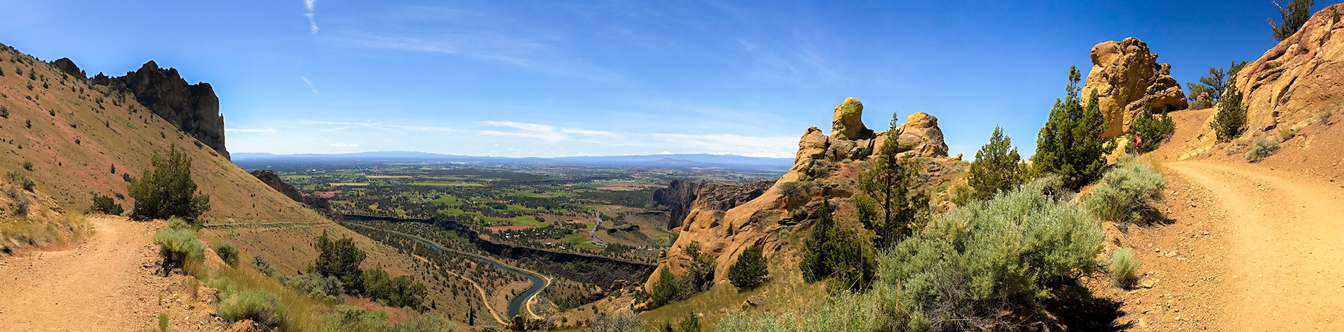
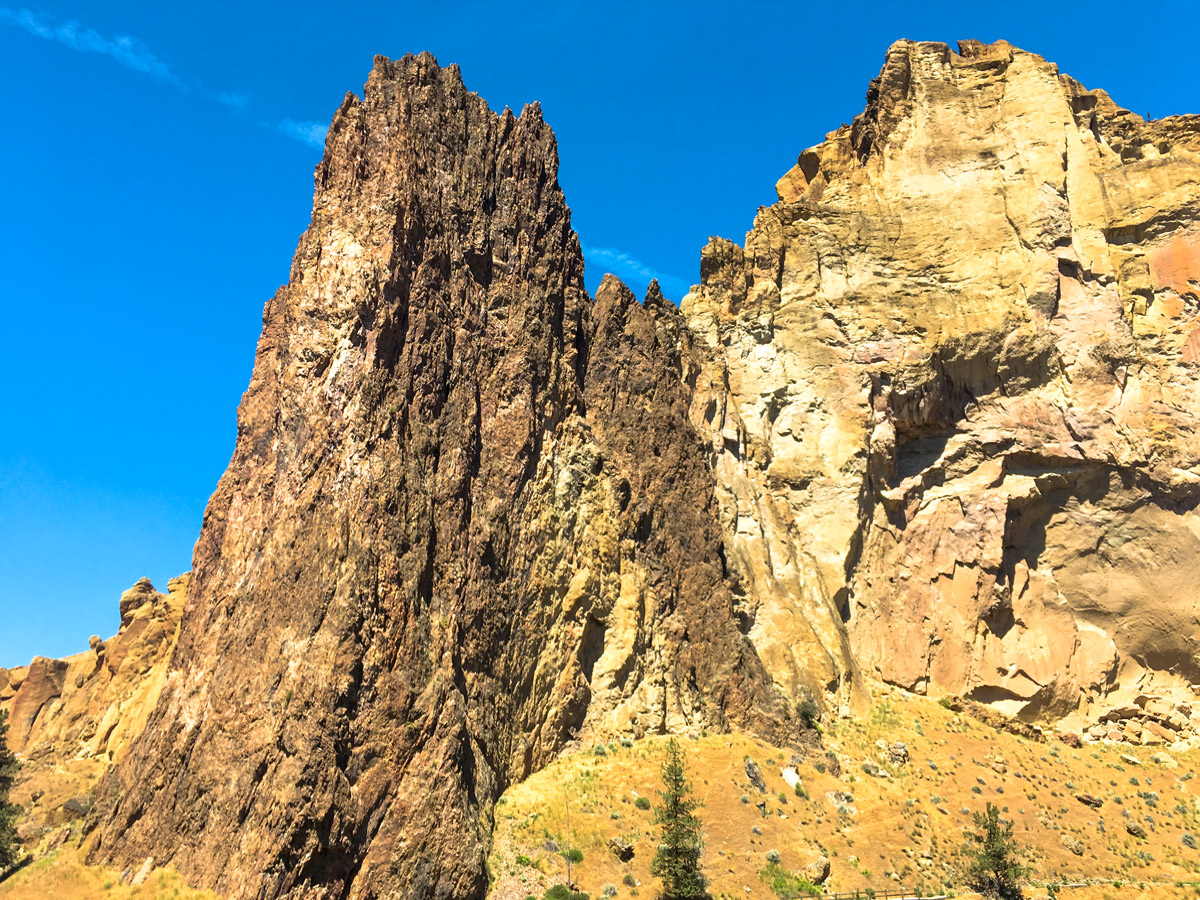
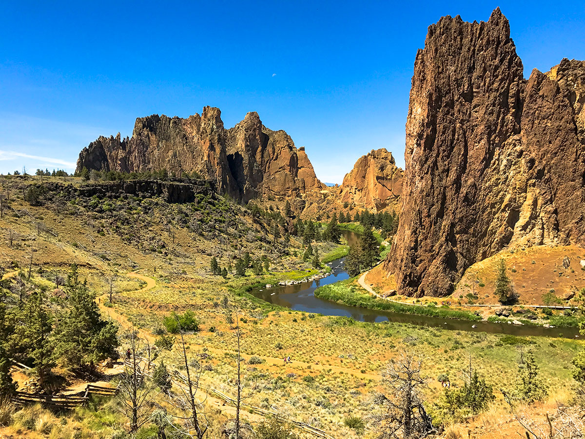
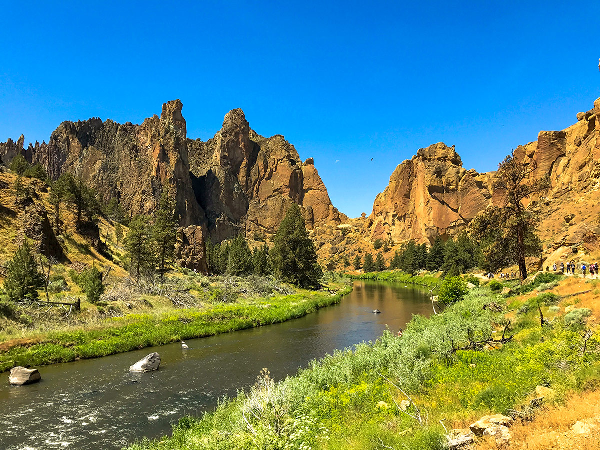
Smith Rock State Park is popular with hikers and bikers for a reason! The towering cliffs and the lush Crooked River are candy for the eyes. And the riding isn’t too bad either, though you will have to contend with a few hikers on the trail to get to the goods.
Getting there
Head north from Bend along highway 97 for 24.0mi. Once you enter Terrebonne, turn right onto Smith Rock Way, following signs for Smith Rock State Park. In half a mile turn left onto 1st street, then in 2.0mi turn left onto Crooked River Dr — all the way following signs for Smith Rock State Park. Park near the Visitor Centre. Don’t forget to get a parking pass, as day visitors require a permit.

About
| When to do | Most of the year it is not too wet and snow free |
| Toilets | At trailhead |
| Family friendly | No |
| Route Signage | Good |
| Crowd Levels | Moderate to High |
| Route Type | Loop |
Smith Rock Summit Trail Loop
Elevation Graph
Weather
Route Description for Smith Rock Summit Trail Loop
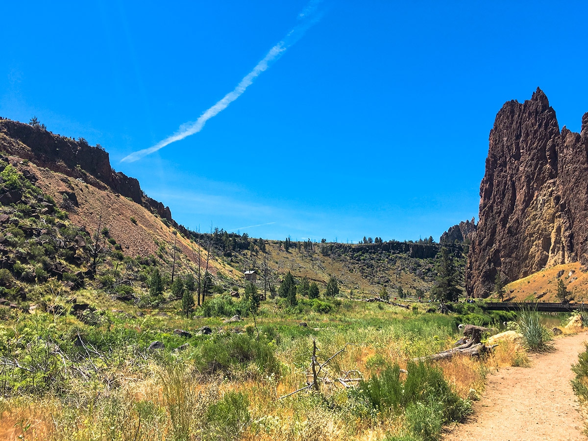
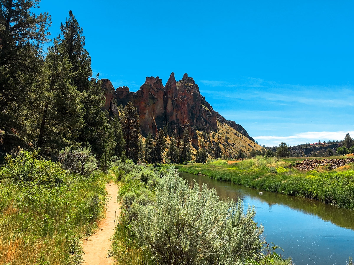
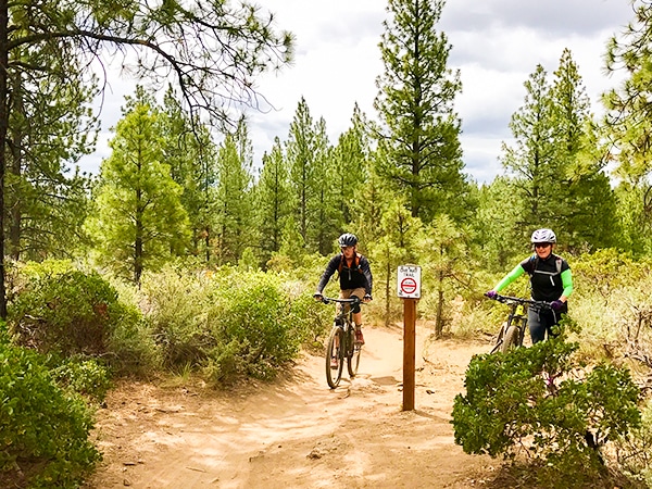
From the Visitor Centre descend the Canyon Trail to the river. Cross the bridge then turn right onto the Wolf Tree Trail. This first section of the trail can be very busy, however after a few minutes of riding along the delightful single track beside the river, the crowds will thin, and your smile will grow.
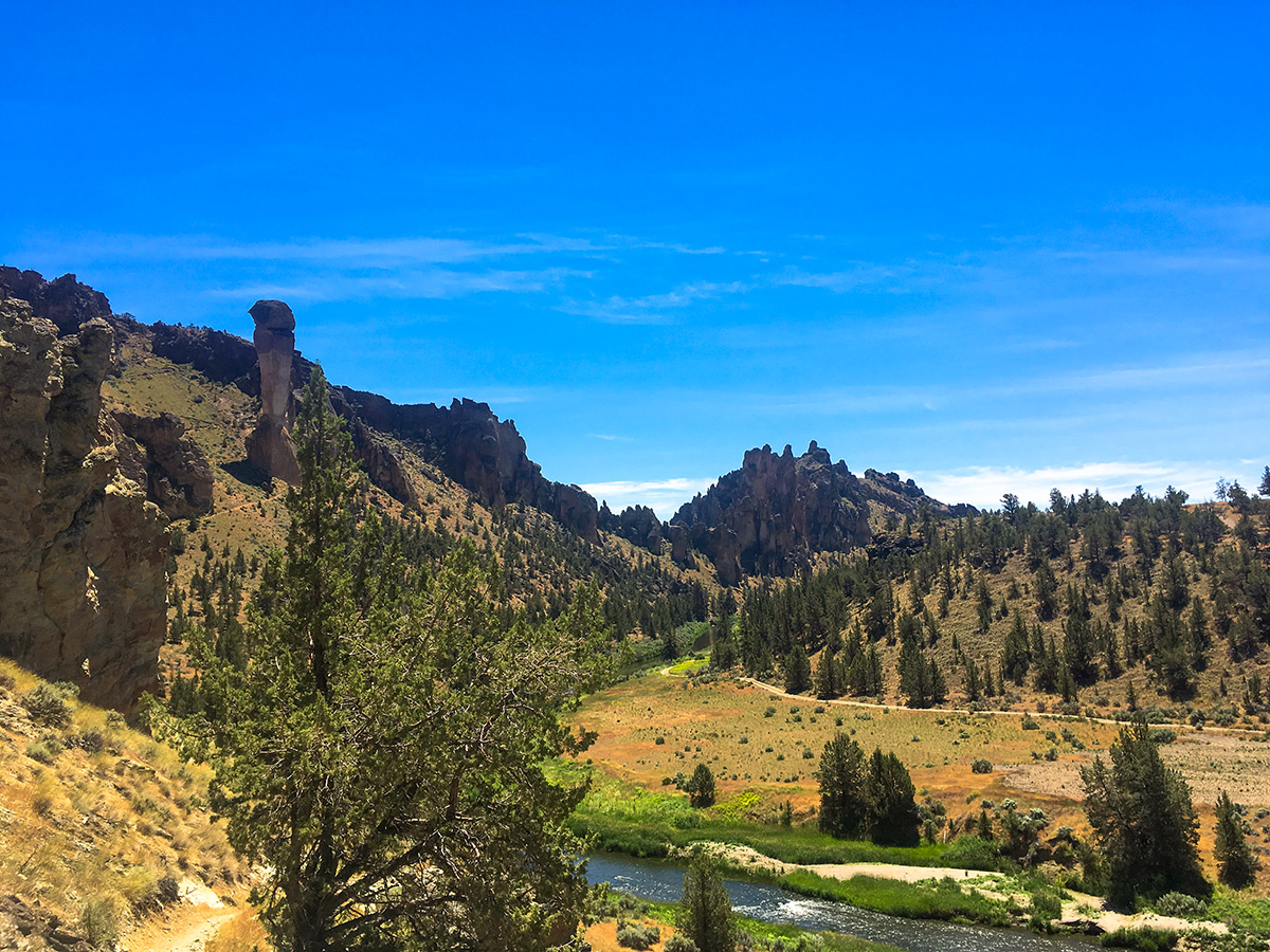
As you cycle along beside the river the trail remains quite flat, and there are a few difficult features. However, we recommend you stop frequently to take photos of the gorgeous scenery. Behind you, the stunning cliffs of Misery Ridge will dominate the view.
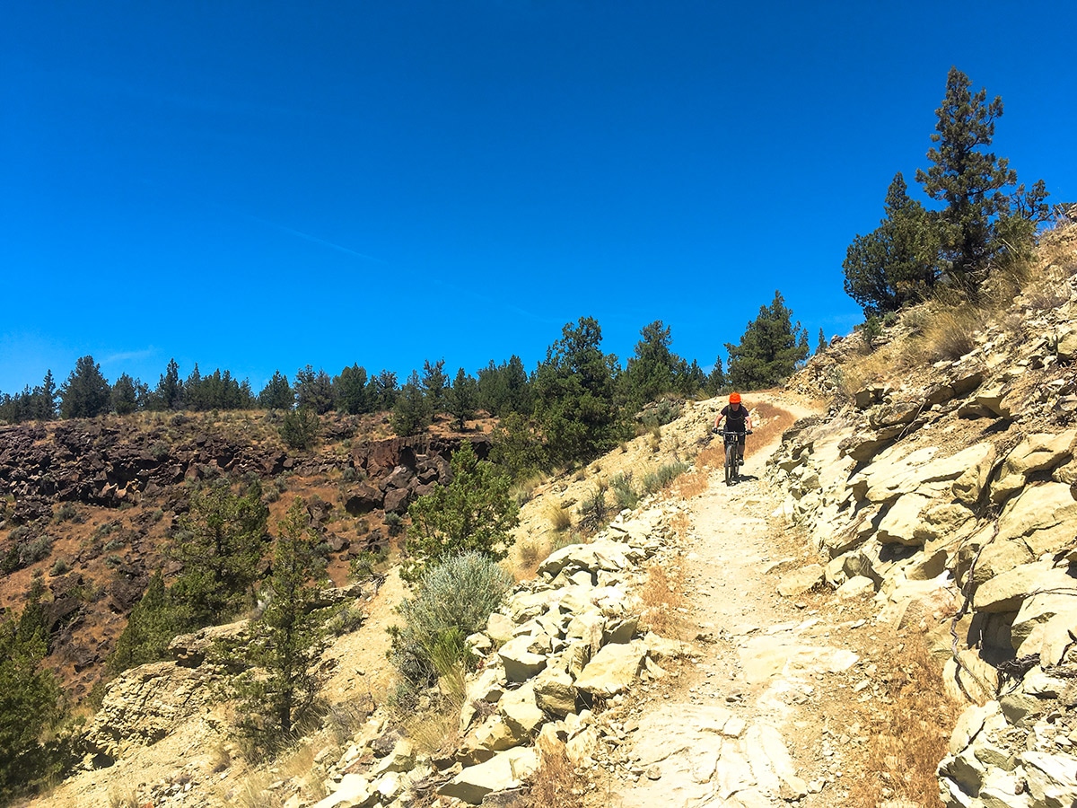
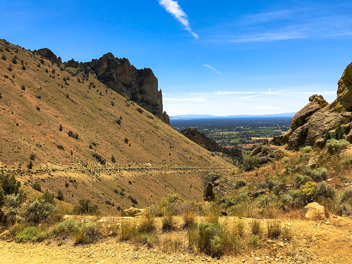
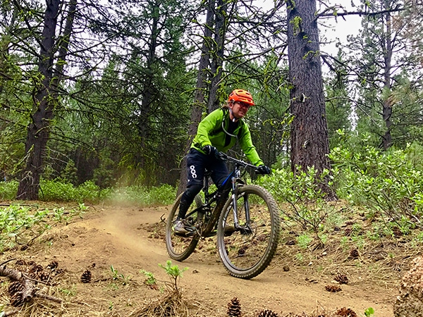
In under a 1.0mi you will reach a junction where you will have to turn left onto the Burma Road Trail. Here you are faced with a seemingly impossibly steep climb. Most people will have to walk here, as not only is the trail steep but also technical and loose.
Don’t worry, as soon you reach Burma Road itself, it becomes a dirt double track trail. This path continues climbing all the way to a visible notch up to your left. Exposed to the sun for most of the day, this climb can feel super challenging, even though the trail is not super technical.
After reaching the notch, take a well-deserved break and enjoy the view. To the northwest you will see the incredible Mt. Hood, and to the west the Three Sisters. These incredible peaks are snow covered for most of the year, and offer stunning contrast to the desert you have been riding in.
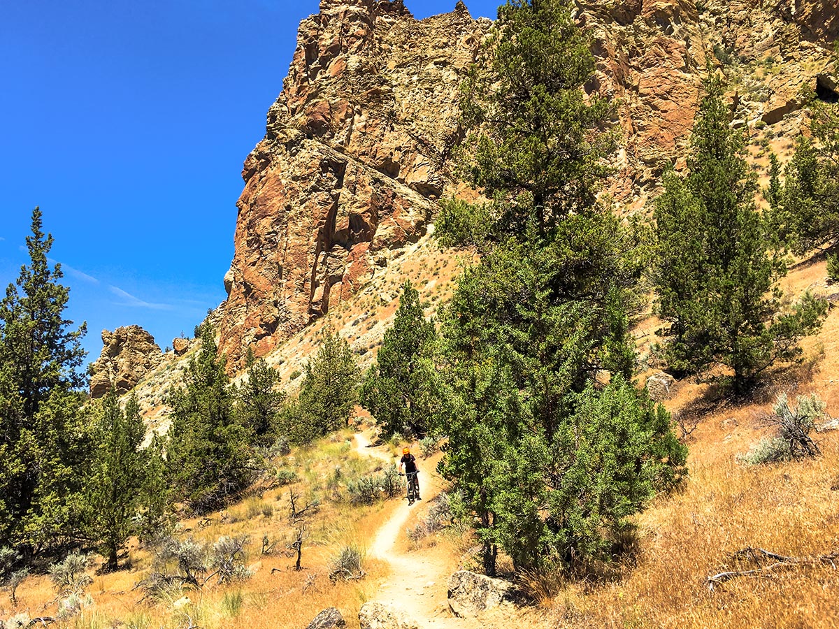
Take the trail to the left off of the road and start descending the opposite side of the notch, switch backing down a steep trail. These switchbacks are a fun challenge, and offer good variety from the smooth, fast berms in the Phil’s Trailhead Complex closer to bend. After half a dozen or so switchbacks the trail will straighten out and let you pick up more speed.
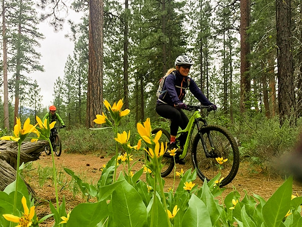
You will traverse through a sparse pine forest all the way back to the Crooked River, rarely gaining elevation. Once you reach the river the number of hikers will definitely increase, and the scenery will become much more lush. Continuing beside the river you will undulate up and down, never gaining or losing too much elevation.
Follow the River Trail, continuing straight at the two junctions all the way around back to the bridge. Cross the bridge and climb back up to your vehicle.
Insider Hints
This trail is popular with hikers. Watch out for them and slow down when passing.
Smith rock is a world-renowned climbing mecca. Hire a guide to experience this incredible vertical world in a whole new way.

Similar Mountain Biking Trails to the Smith Rock Summit Trail Loop Mountain Biking Trail
Tyler’s Traverse
A favorite mountain bike trail amongst locals, this classic shuttle run is more technical than its brother Tiddlywinks. Though this…
Ben’s Trail
Recently switched to a one-way, uphill only trail, Ben’s near Bend is the quintessential cross-country climbing trail from Phil’s Trail.…
Suttle Tie and Loop
An easy bike ride in a beautiful environment, the Tie trail connects the parking lot to Suttle Lake, where the…
Tom Gregory 4 years ago
The initial climb was quite steep but the view of the sunset was beautiful and very quiet
lemontree 5 years ago
We hit the trail before breaking dawn, and it's perfect!
Bill Parks 5 years ago
Satisfying trek! It was a gloomy afternoon hike, the sky was grey, yet everything still looks great!
Cykelly 5 years ago
Beautiful views. Smith Rock summit trail is a bit crowded though. A lot of hikers walk there so it's sort of challenging to get around them all the time. I did leave a little bit late. Should have gone earlier to avoid the swarms.