
Lower Pine Creek Waterfall Trail
View Photos
Lower Pine Creek Waterfall Trail
Difficulty Rating:
The Lower Pine Creek Waterfall trail is a short, unmaintained trail that leads to a beautiful 15ft waterfall. This trail gets little traffic, and is a great hike to do on a hot day. The bouldery nature of this trail does not make it suitable for the elderly or for young children but it is a fun challenge for experienced hikers and is doable for older children with the help of an adult.
Getting there
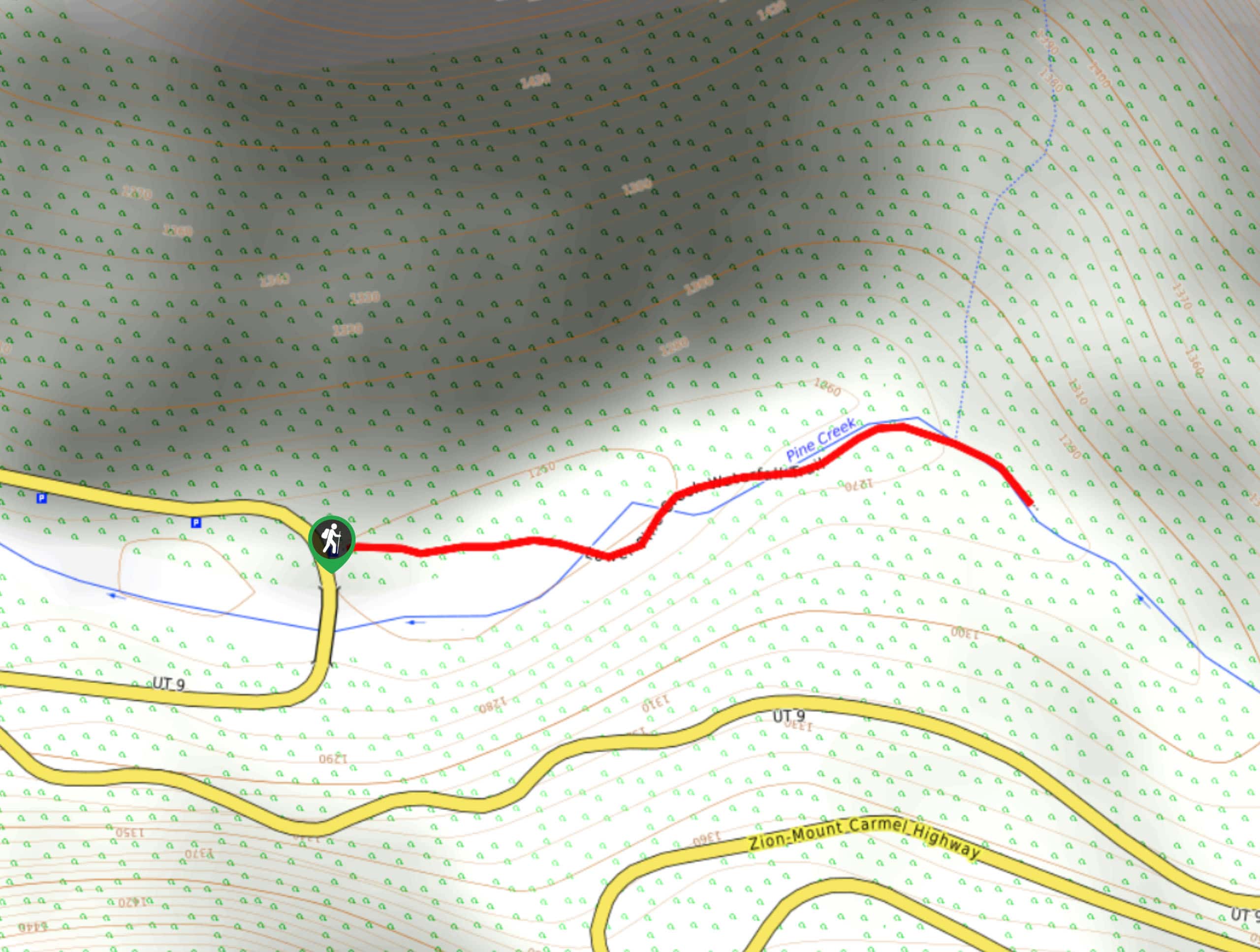
The Lower Pine Creek Waterfall Trail is about 2.5mi North/northeast from the town of Springdale, UT. Approximately 0.4mi past the junction of route 9 and Zion Canyon Scenic Drive, park along the south side of the road at the parking pullout just before the first switchback. The trailhead for the Lower Pine Creek Waterfall is just down the road to the east.

About
| Backcountry Campground | No |
| When to do | year-round |
| Pets allowed | No |
| Family friendly | Older Children only |
| Route Signage | Poor |
| Crowd Levels | Low |
| Route Type | Out and back |
Lower Pine Creek Waterfall Trail
Elevation Graph
Weather
Lower Pine Creek Waterfall Trail Description
The Lower Pine Creek Waterfall Trail is a short, challenging, bouldery route that leads to a secluded 15ft waterfall just outside of Springdale, UT. This hike is not recommended for the very old or the very young as hikers have to climb over large boulders to get to the waterfall itself. This trail is not maintained, and has historically had issues with graffiti and littering. If you visit the Lower Pine Creek Waterfall, please be respectful of your surroundings and keep this natural wonder beautiful for all who visit.
From the parking area, head east over the guardrail to the trailhead. The path is unmarked but well defined and tracks directly eastward. The path down to the creek is steep, so take your time and watch your step. Once you get down, the trail becomes a series of boulders to rock-hop and clamber over. After about 0.3mi of this challenging terrain, you will arrive at the Lower Pine Creek Waterfall.
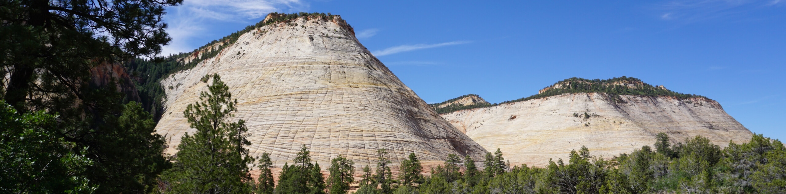
Take a rest and enjoy the scenery and serenity of the Lower Pine Creek Waterfall before turning back and following the same path back home.
Similar hikes to the Lower Pine Creek Waterfall Trail hike
Zion Ponderosa Checkerboard Trail
The Zion Ponderosa Checkerboard Trail is an easy walk that the whole family can enjoy. This trail is shared by…
Scoggin’s Wash
The Scoggin’s Wash Trail is a true desert hike that links the more popular Coalpits Wash Trail with the iconic…
Camp Creek Trail
The Camp Creek Trail is a rarely visited path down a beautiful box canyon in the Kolob section of Zion.…
Comments