Hop Valley and Kolob Arch Trail
View Photos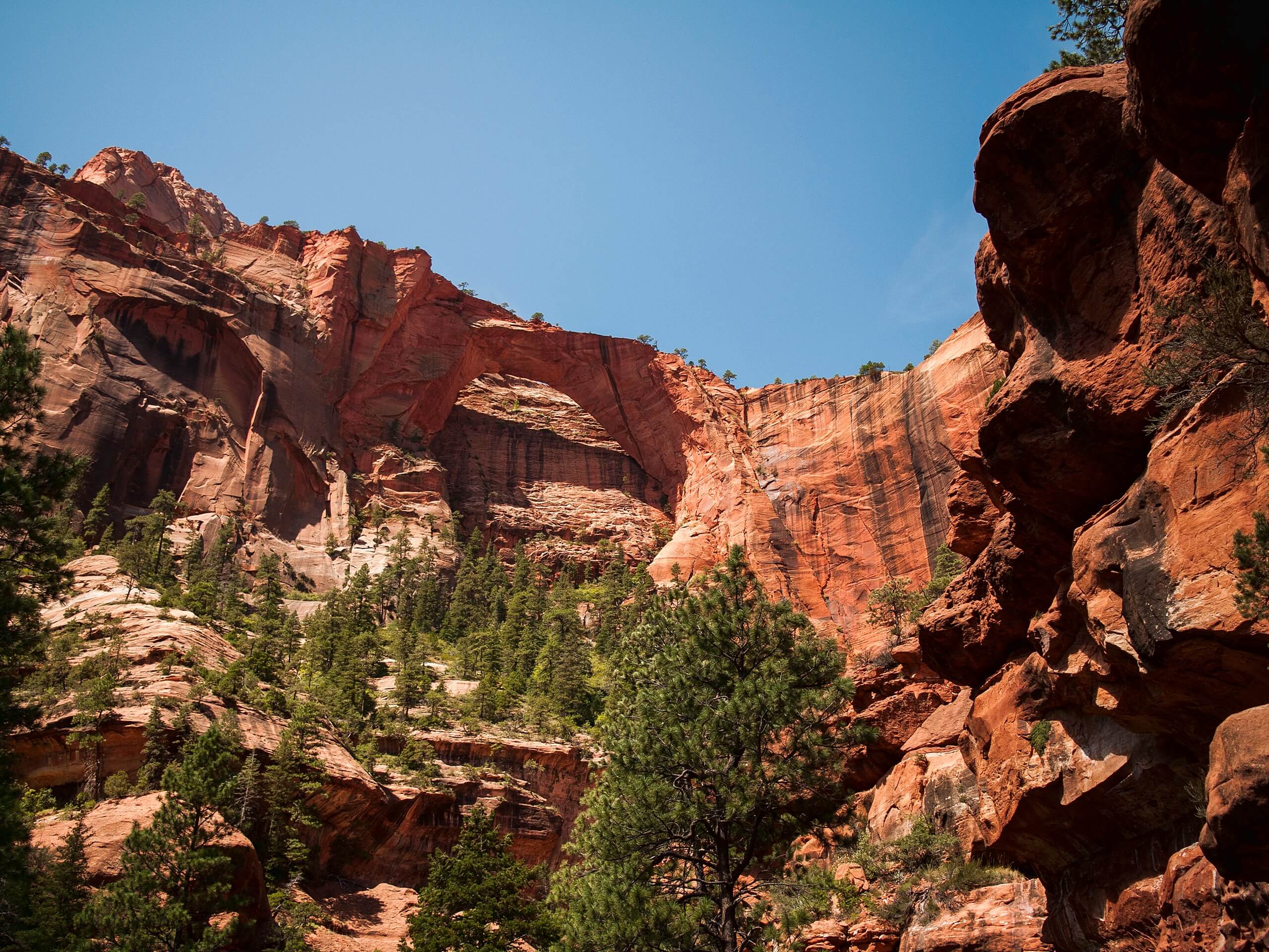
Hop Valley and Kolob Arch Trail
Difficulty Rating:
The Hop Valley Trail passes through private ranch land and leads travellers to the iconic Kolob Arch formation. This trail passes through sagebrush desert and cool forest, and requires hikers to ford many a stream. It is a moderate hike best done in fall.
Getting there
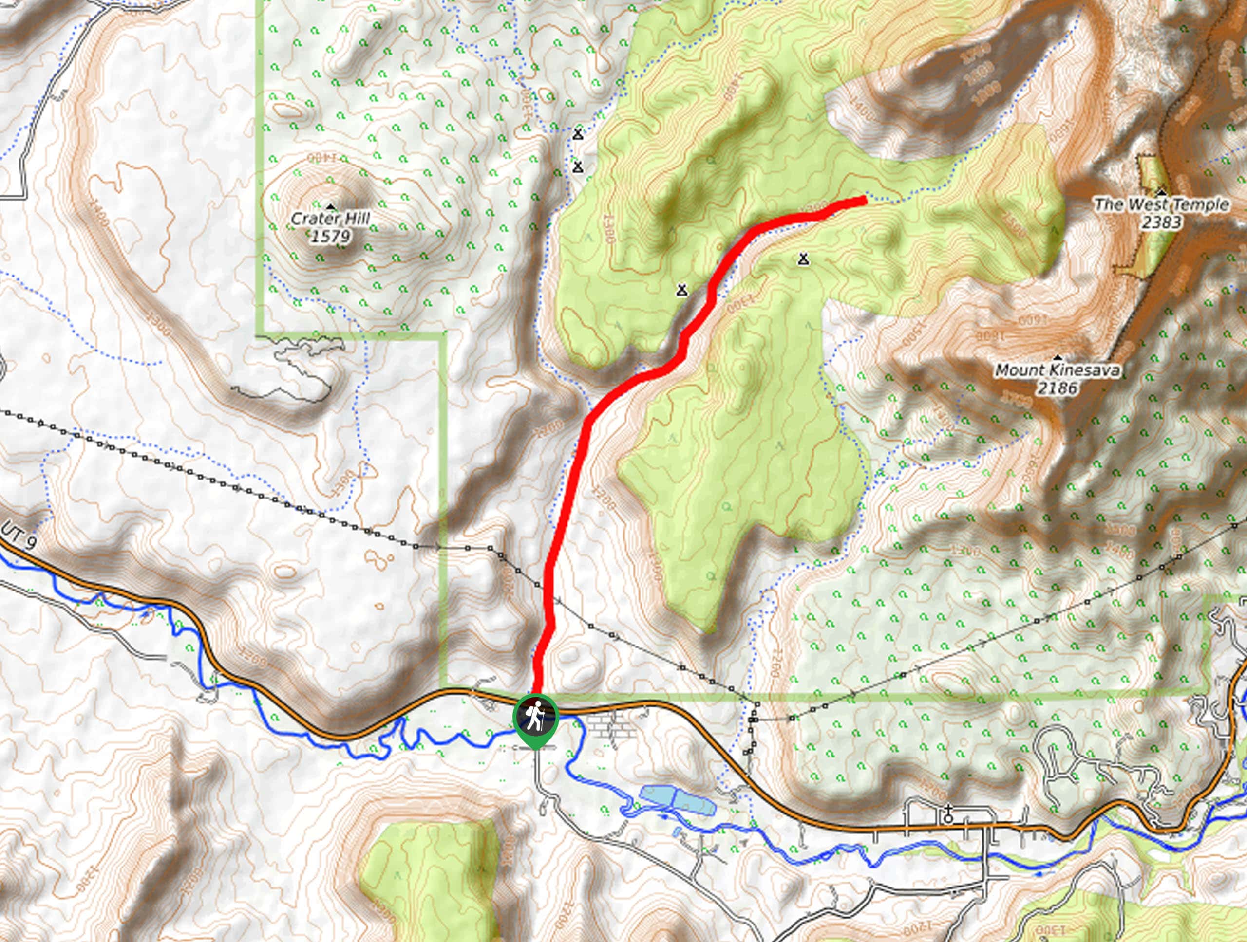
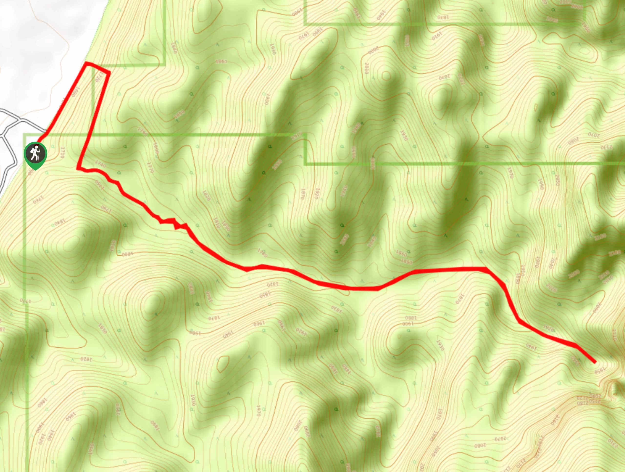
The Hop Valley to Kolob Arch Trail begins at the Hop Valley Trailhead that is approximately 13.0mi up Kolob Reservoir Road from Route 9.

About
| Backcountry Campground | Campsite A: Horse Camp, Campsite B: Boundary Camp |
| When to do | April to October |
| Pets allowed | No |
| Family friendly | Older Children only |
| Route Signage | Average |
| Crowd Levels | Moderate |
| Route Type | Out and back |
Hop Valley and Kolob Arch Trail
Elevation Graph
Weather
Hop Valley and Kolob Arch Trail Description
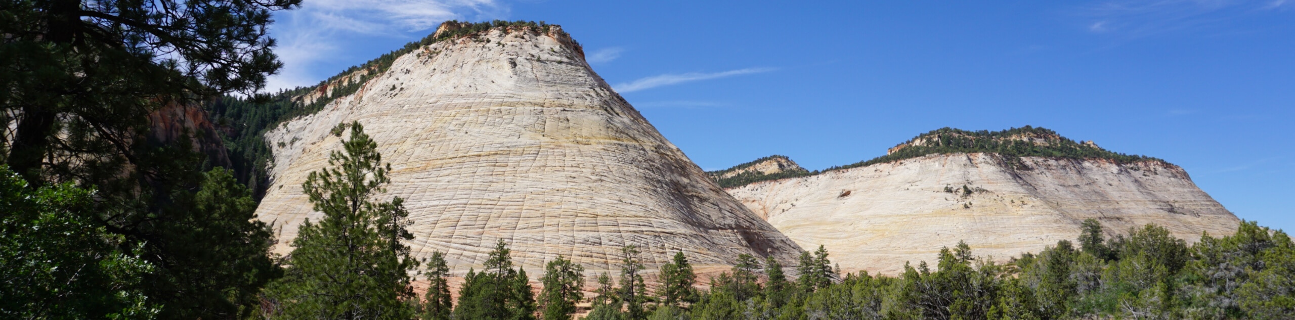
The Hop Valley trail passes through a private cattle ranch within Zion National Park. This trail is slightly longer, much more scenic, and significantly quieter than the more popular La Verkin Creek Trail, which can also be used to access The Kolob Arch. Hikers find that this trail is more energetically demanding than its counterpart as you spend a lot of time trekking through loose sand. We recommend using this trail in the fall when temperatures are lower, and humidity is higher; this makes the sandy sections more navigable than in the hot, dusty summer or the muddy, floody springtime. The Hop Valley Trail is a 15.0mi round trip, making it a full-day adventure with rewarding scenery.
From the Hop Valley Trailhead Parking Lot, head north along the sandy trail. After approximately 1.5mi, you will reach a gate that marks the beginning of the private ranch land. Be sure to close the gate securely behind you. Cattle roam free through this land, so watch your step and avoid drinking the stream water as it may be contaminated with cattle feces. The sandy trail will eventually lead to a short, steep, rocky descent to the valley floor. At this point, the trail divides into multiple small paths that all will lead to Hop Creek.
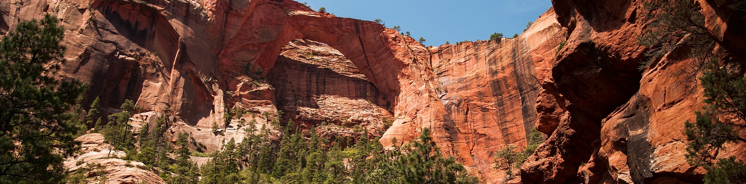
Approximately 5.0mi in, you will reach another gate that marks the end of the ranch land; again, be sure to secure the gate properly behind you. Just past the gate, you will reach the two campsites along this trail; at the first campsite, you will find a National Park Service trail marker that will guide you westward across the valley, away from the streambed. If you find yourself wandering along the dry streambed and heading into the bush, you have likely missed this marker and missed your turn off- turn back and try again. Approximately 1.5mi past the marker, the Hop Valley Trail will meet up with the La Verkin Creek Trail. There are many camping options along the La Verkin Creek Trail should you want to extend your trip. Take a left at the trail junction and follow the La Verkin Creek trail for a quarter of a mile before it divides again. At this next divide, take a right and follow the trail to the Kolob Arch. This stunning arch formation spans 287ft and is the 2nd longest natural arch in the World.
Once you’ve snapped a few photos of this natural wonder, retrace your steps back to the trailhead, minding the gates on your way out. The hike back will be slightly uphill, so if you struggled in the sand on the way down, prepare yourself for a more challenging time on the way back up. Overall, the Hop Valley Trail provides a unique view of Zion and is a perfect hike for those seeking solitude or looking to make a cow friend. Please note that if you plan on camping along The Hop Valley Trail or the La Verkin Creek Trail, a Zion Wilderness Permit is required and can be purchased through the National Park Service either online or in person.
Similar hikes to the Hop Valley and Kolob Arch Trail hike
Zion Ponderosa Checkerboard Trail
The Zion Ponderosa Checkerboard Trail is an easy walk that the whole family can enjoy. This trail is shared by…
Scoggin’s Wash
The Scoggin’s Wash Trail is a true desert hike that links the more popular Coalpits Wash Trail with the iconic…
Camp Creek Trail
The Camp Creek Trail is a rarely visited path down a beautiful box canyon in the Kolob section of Zion.…
Comments