Cockeye Falls Trail
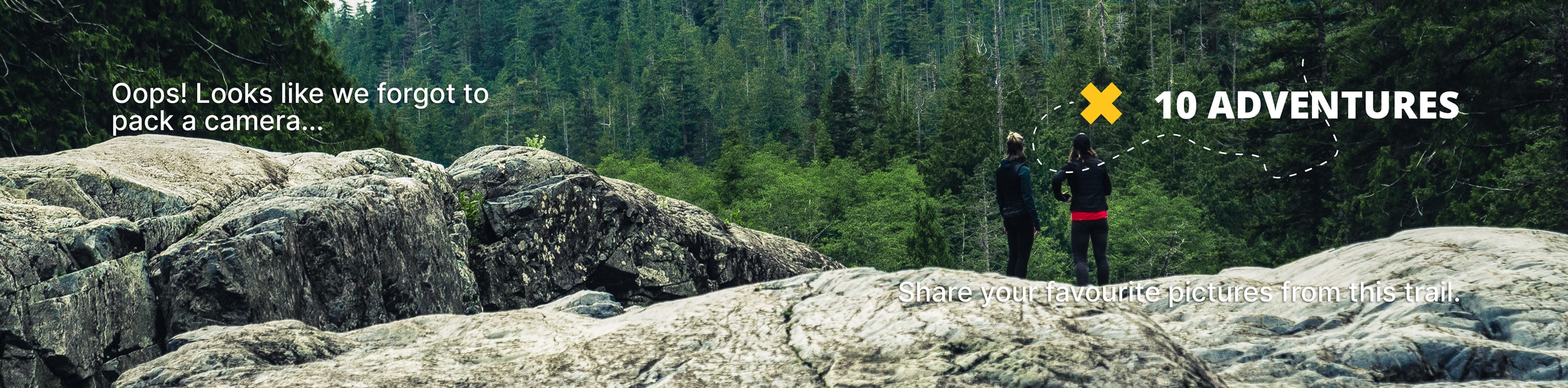
View Photos
Cockeye Falls Trail
Difficulty Rating:
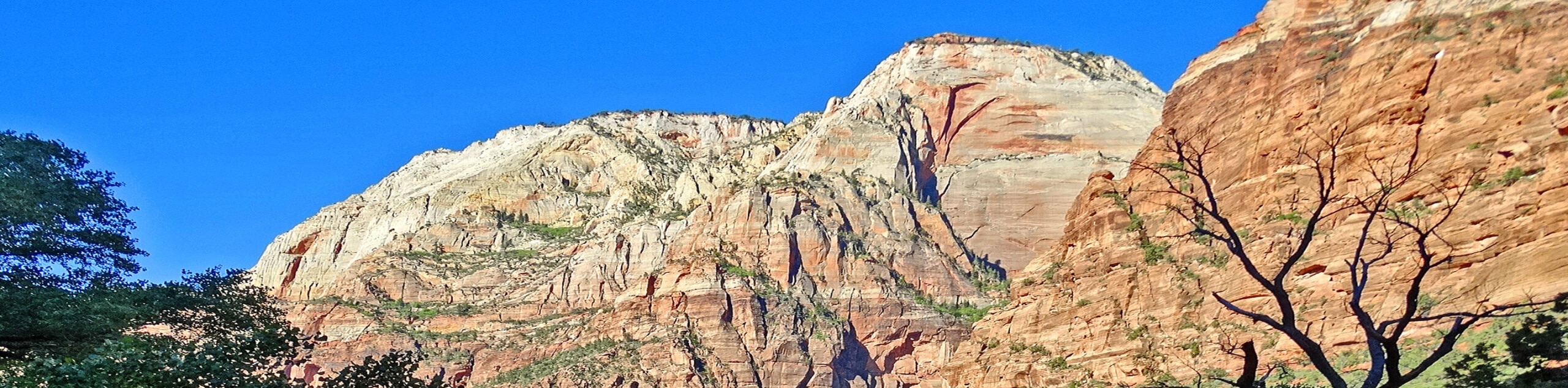
The Cockeye Falls Trail is a moderately challenging hike over unmaintained trails in the remote eastern section of Zion National Park. Good footwear and a downloaded map are essential to pick your way down this path. The underuse of this rugged trail makes it a great location to see desert wildlife, including mule deer and bighorn sheep.
Getting there
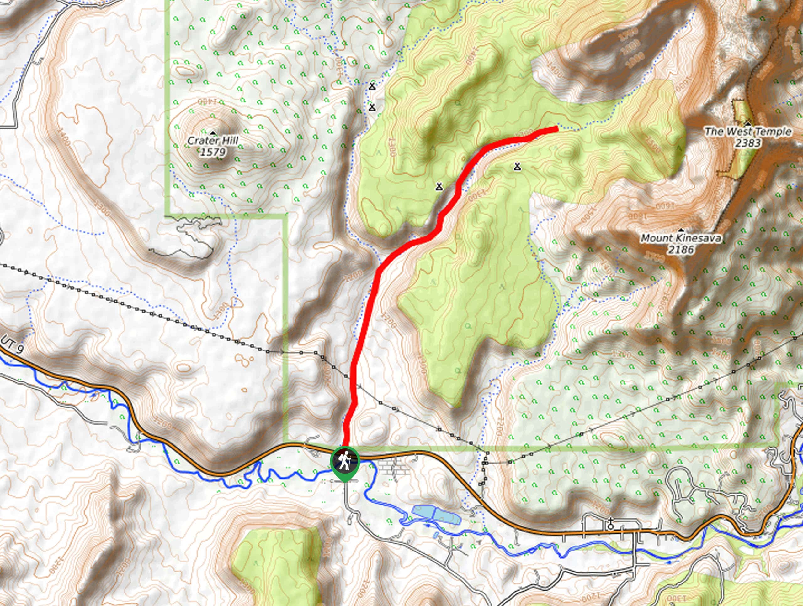
Heading eastbound on route 9 out of Springdale, UT; drive up the switchbacks and through the Zion-Mount Carmel tunnel. The trailhead for Cockeye Falls trail is on the south (right) side of the road just before the smaller tunnel.

About
| Backcountry Campground | No |
| When to do | Year-round |
| Pets allowed | No |
| Family friendly | No |
| Route Signage | Poor |
| Crowd Levels | Low |
| Route Type | Lollipop |
Cockeye Falls Trail
Elevation Graph
Weather
Cockeye Falls Trail Description
The trail up to the top of Cockeye Falls is unmaintained and difficult to navigate. Hikers often find themselves picking their own trail through overgrown sections and most folks who hike this trail recommend downloading a map or bringing along a GPS unit. The perk of the nature of this trail is that relatively few folks travel through here, and it is quite common for hikers to see desert animals that otherwise would have been scared away by the crowds.
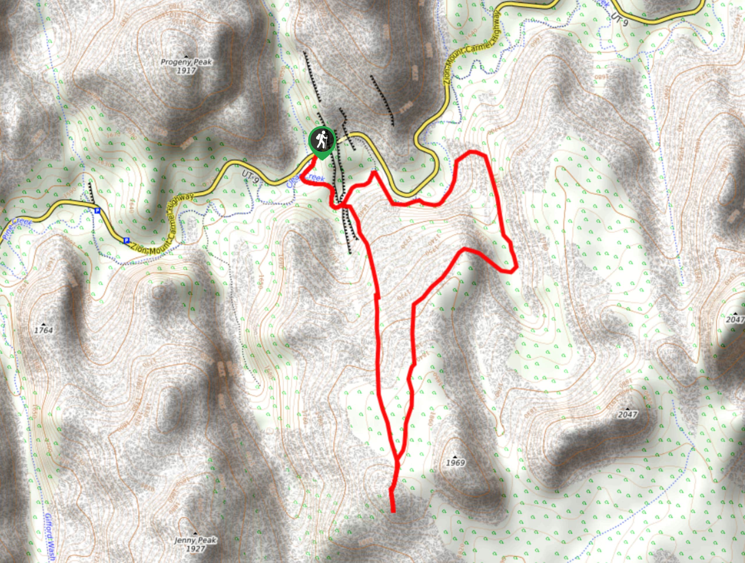
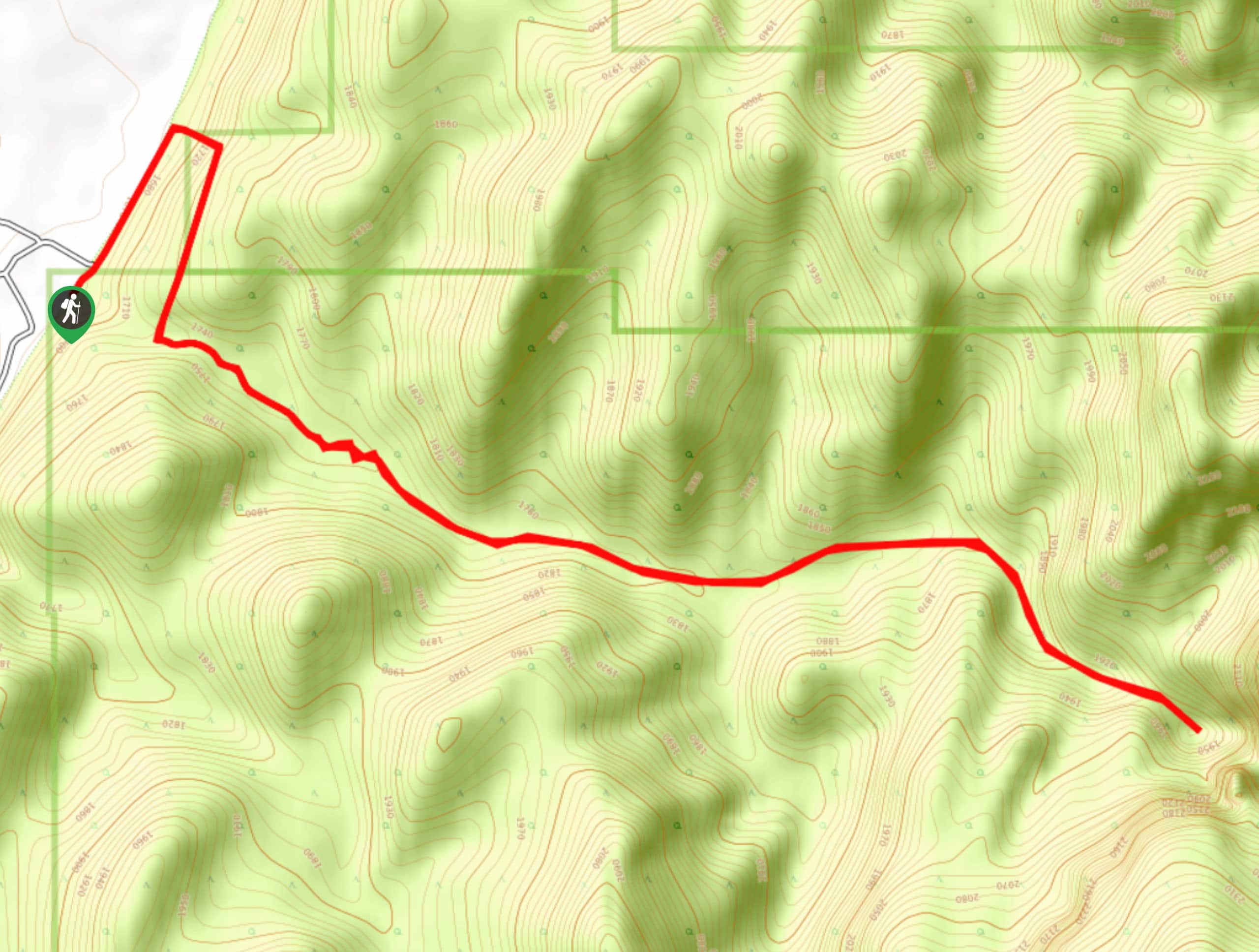
Starting at the pull off on the south side of highway 9, descend down to Clear Creek via the washbed trail. Turn left at the creek and follow the creek bed eastward. Fair warning: if the creek is flowing, the trail may become impassable up ahead. Approximately 0.3mi down the trail, a large ponderosa pine tree on your right hand side marks the entrance to the Hidden Garden Slot Canyon, this is a short canyon walk full of plant life, it’s worth a peek. About 200 yards past the Hidden Garden slot canyon, there is a small wash on your right hand side, follow this wash as it turns into slickrock. As you navigate the slickrock section keep an eye out for moqui marbles, and delicate plantlife.
After about 0.6mi of slickrock, the landscape changes into sagebrush, sand, and cacti until you begin to climb up to the saddle. Once you reach the saddle, the trail continues south with a quick out and back path that leads to a lookout where hikers can see the surrounding peaks and an unusual white-capped hoodoo that has formed at the bottom of a slickrock bowl. The circuit itself continues north from the saddle up about a mile to Cockeye Falls themselves before turning south/southeast to follow Clear Creek back to your starting point.
Similar hikes to the Cockeye Falls Trail hike
Scoggin’s Wash
The Scoggin’s Wash Trail is a true desert hike that links the more popular Coalpits Wash Trail with the iconic…
Camp Creek Trail
The Camp Creek Trail is a rarely visited path down a beautiful box canyon in the Kolob section of Zion.…
Elephant Temple via The Riverside Walk
The hike through the Narrows to the base of Elephant Temple is a challenging day hike through one of the…
Comments