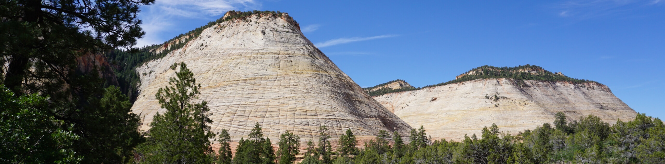
Angel's Landing hike
View Photos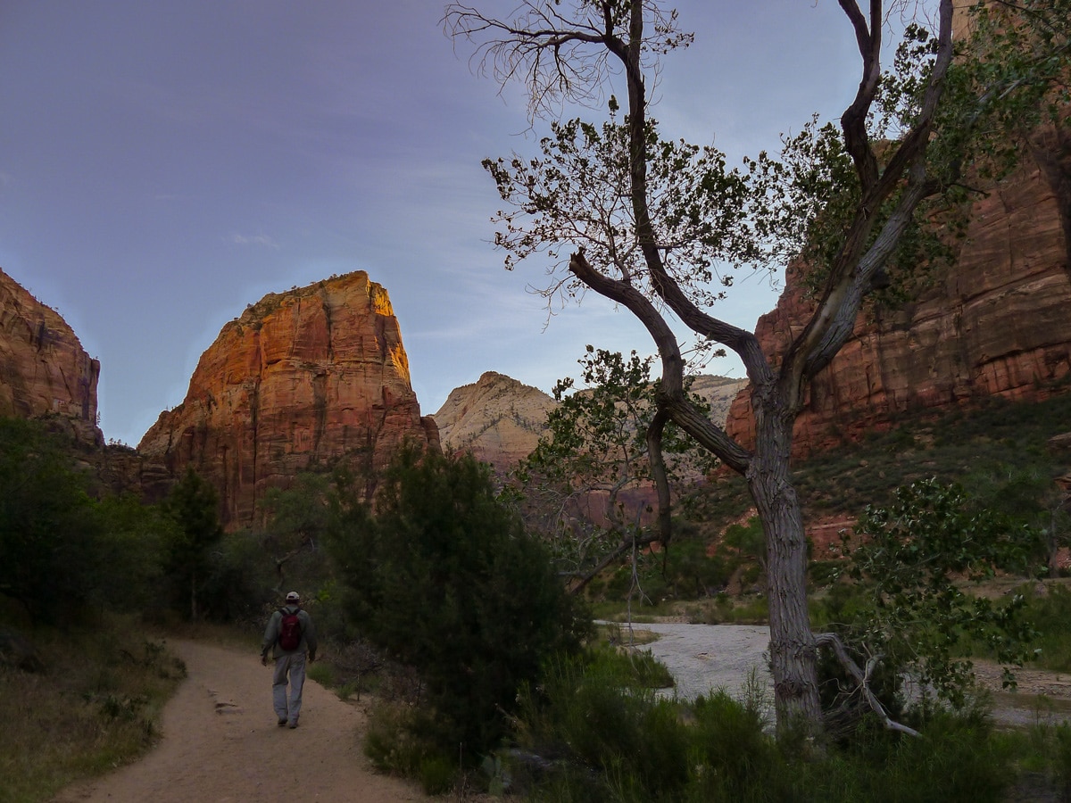
Angel's Landing hike
Difficulty Rating:
Easily the most popular hike in the park, the trail up to Angel’s Landing is often underestimated. After a long climb and an exposed traverse, however, the stunning views of the canyon from the summit always seem worth it.
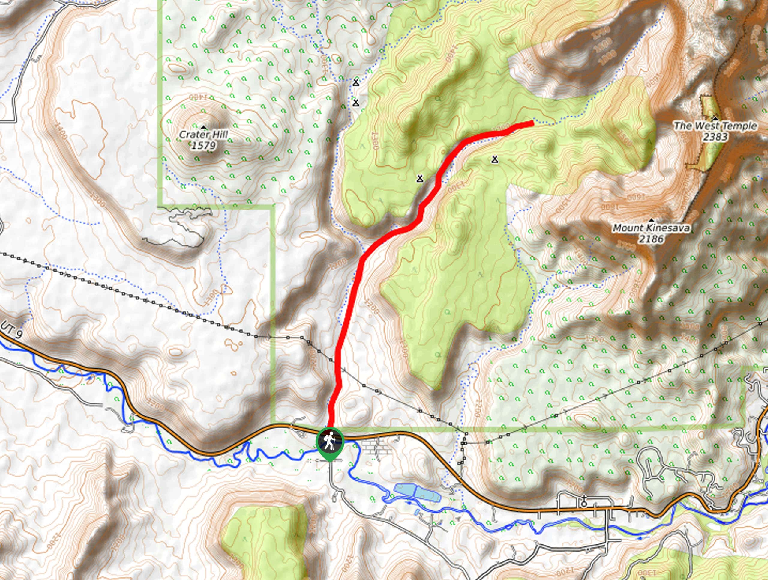
Getting there
Enter Zion National Park from the town of Springdale. If possible, park near the visitors centre just past the park gates. If that lot is full, park in the town of Springdale and get the free shuttle bus to the visitors centre. From the visitors centre take the other free shuttle bus into Zion Canyon. For most of the year the canyon is not open to public vehicles. Exit the bus at "The Grotto".

About
| When to do | Spring and Fall, avoid summer heat |
| Backcountry Campsites | West Rim Trail |
| Toilets | At trailhead and Scout Lookout |
| Family friendly | No |
| Route Signage | Average |
| Crowd Levels | Extreme |
| Route Type | Out and back |
Angel's Landing
Elevation Graph
Weather
Route Description for Angel's Landing
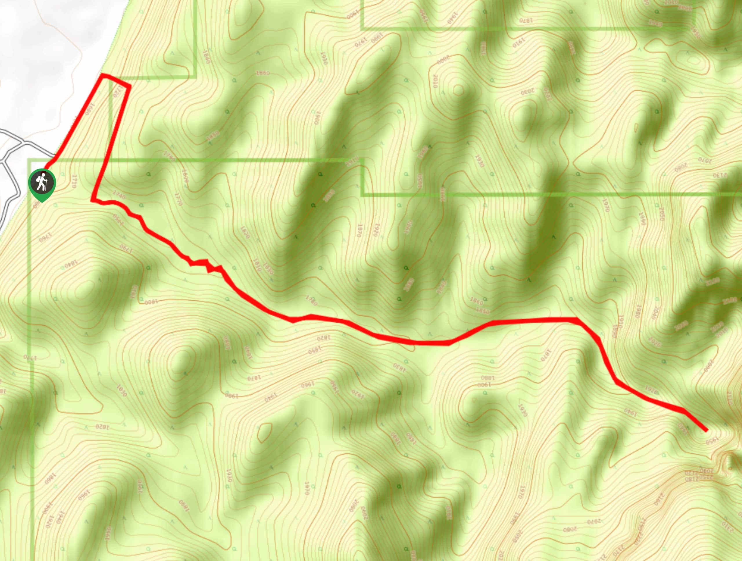
Find the trailhead by crossing the street and the footbridge leading across the Virgin River. Here you will find a junction. Take the path leading to the right along the river with signs towards Angel’s Landing. The trail obviously used to be paved, and it is definitely wide enough for several people to walk side by side.
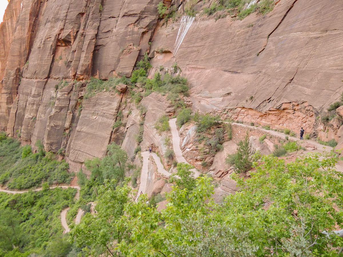
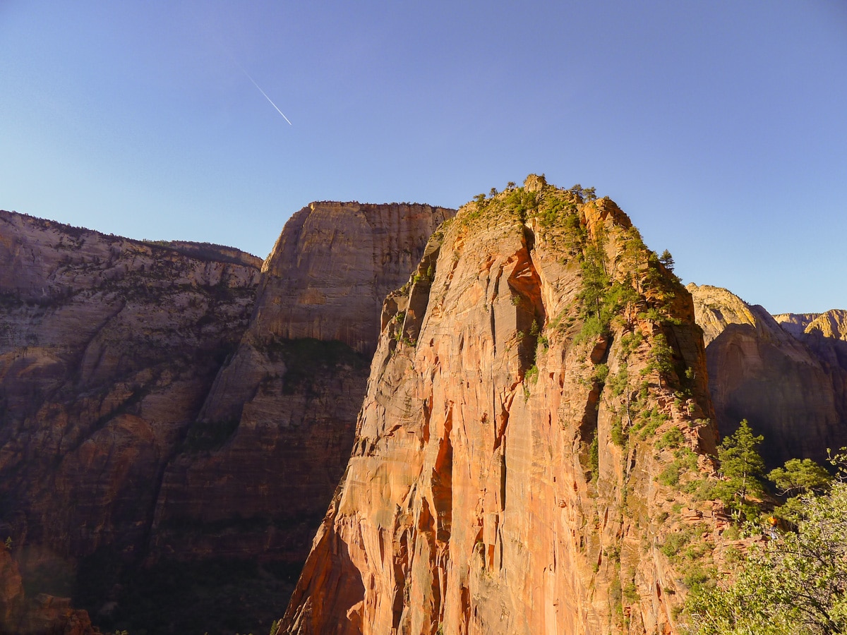
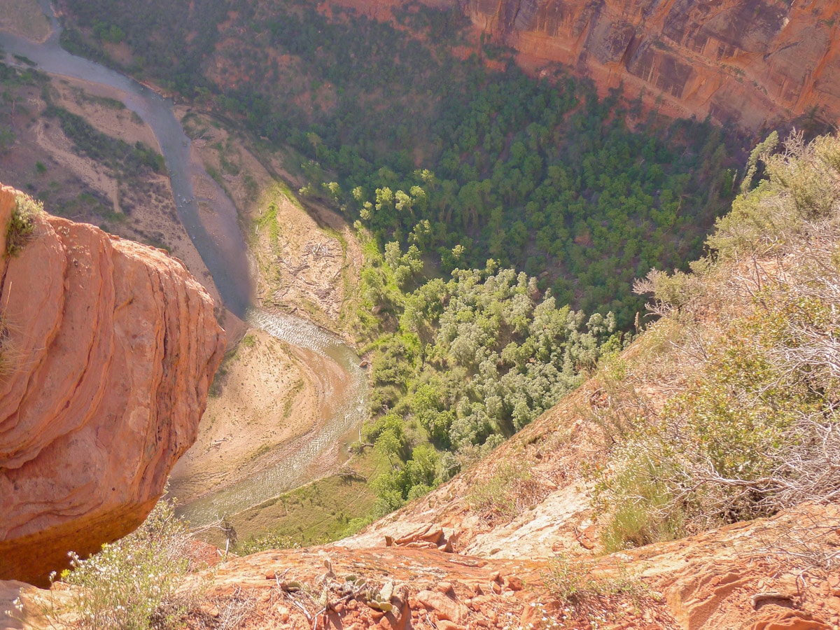
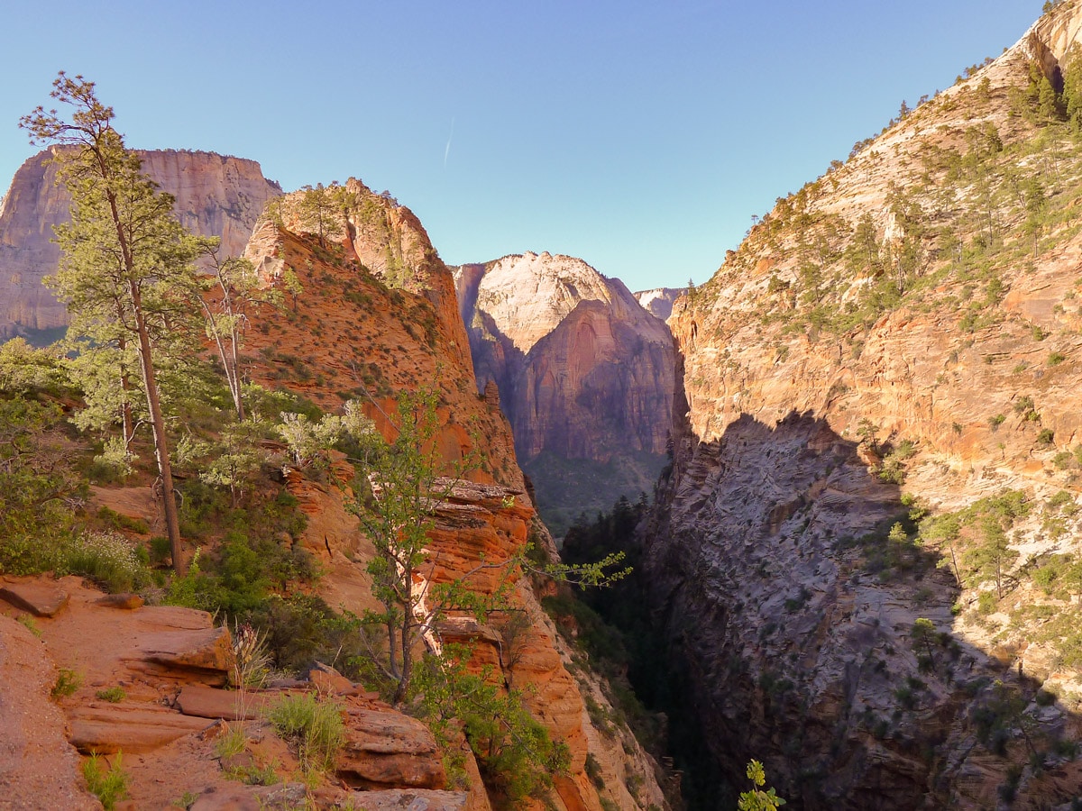
Continue along the path as it slowly gains elevation to the left of the Virgin River. You will see the obvious tower dead ahead of you – this is Angel’s Landing. The path cuts up to the left to the notch between the tower and the main canyon walls. Here a path has been blasted into the cliff face, which amazingly finds a way to switchback up the sandstone slick rock all the way up.
Here several people may choose to end their day, since these switchbacks are typically underestimated! Luckily, for much of the morning these are shaded by the landing itself, making the climb more endurable.
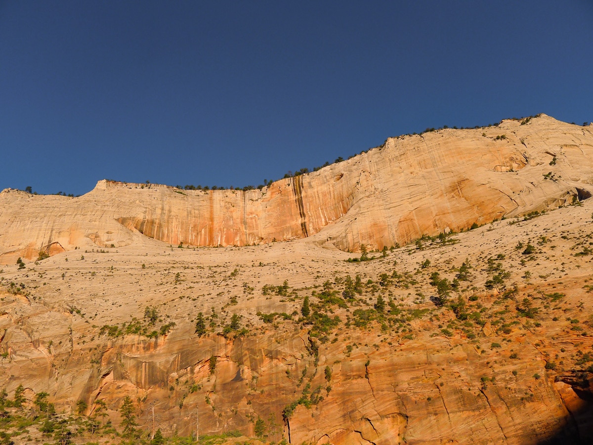
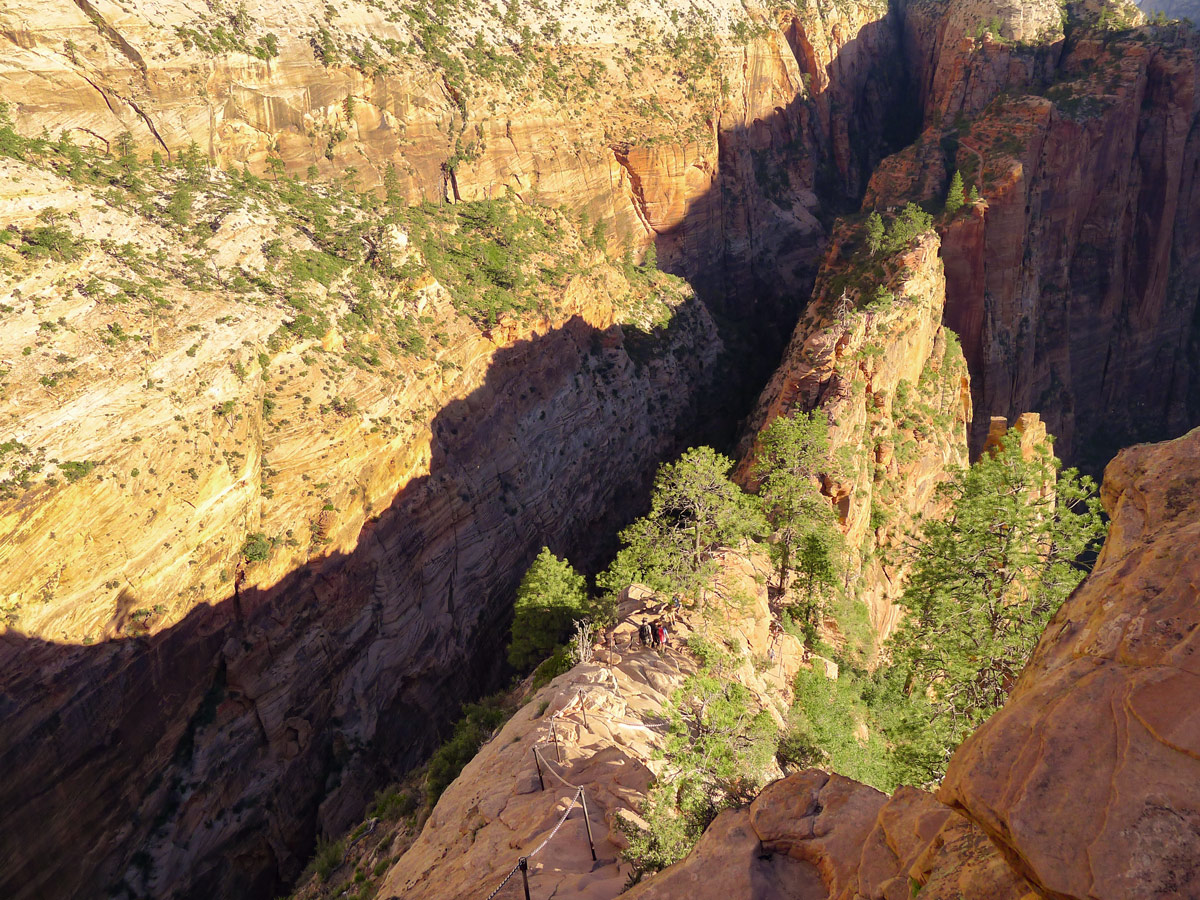
Finally, after cresting the right side of the notch, you will enter a narrow, lush canyon. This part of the hike is almost always shaded and very cool. This is a very good spot to rest, even though there isn’t much of a view. The trail will still gain elevation as it passes through this slot canyon, however at a much lower grade then before!
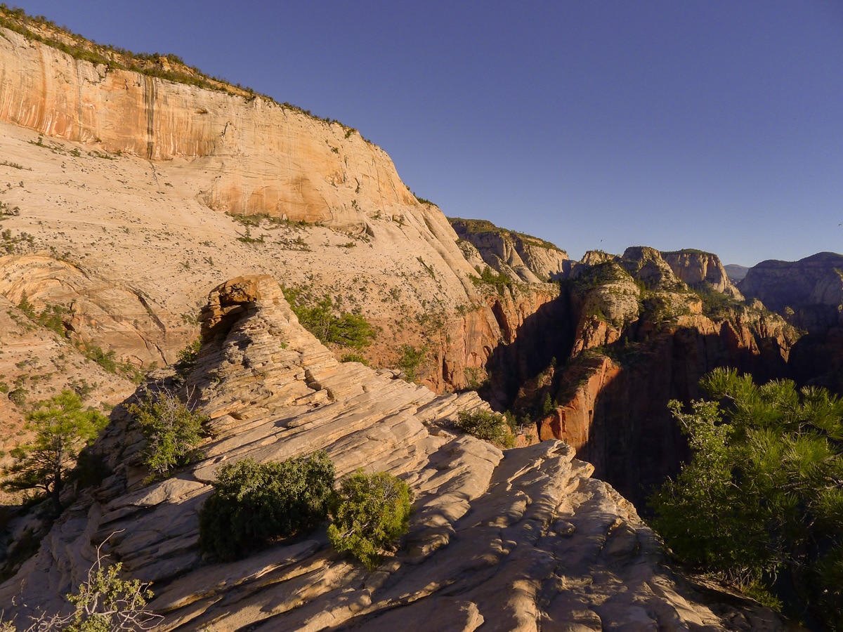
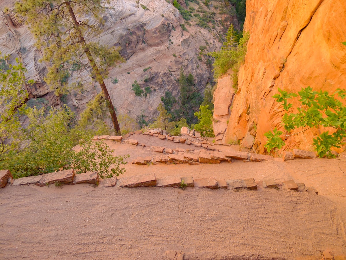
After contouring around to the opposite side of Angel’s Landing you will start ascending Walter’s Wiggles, a series of 21 tightly spaced, never-ending switchbacks, which lead to Scout’s Lookout. Gaining the summit ridge called Scout’s Lookout from the backside will grant you the first panoramic views of the park.
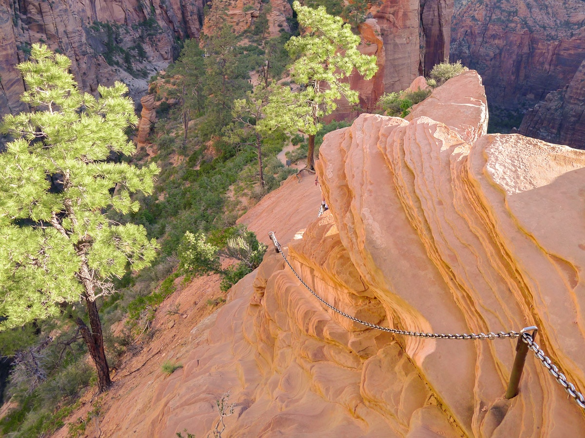
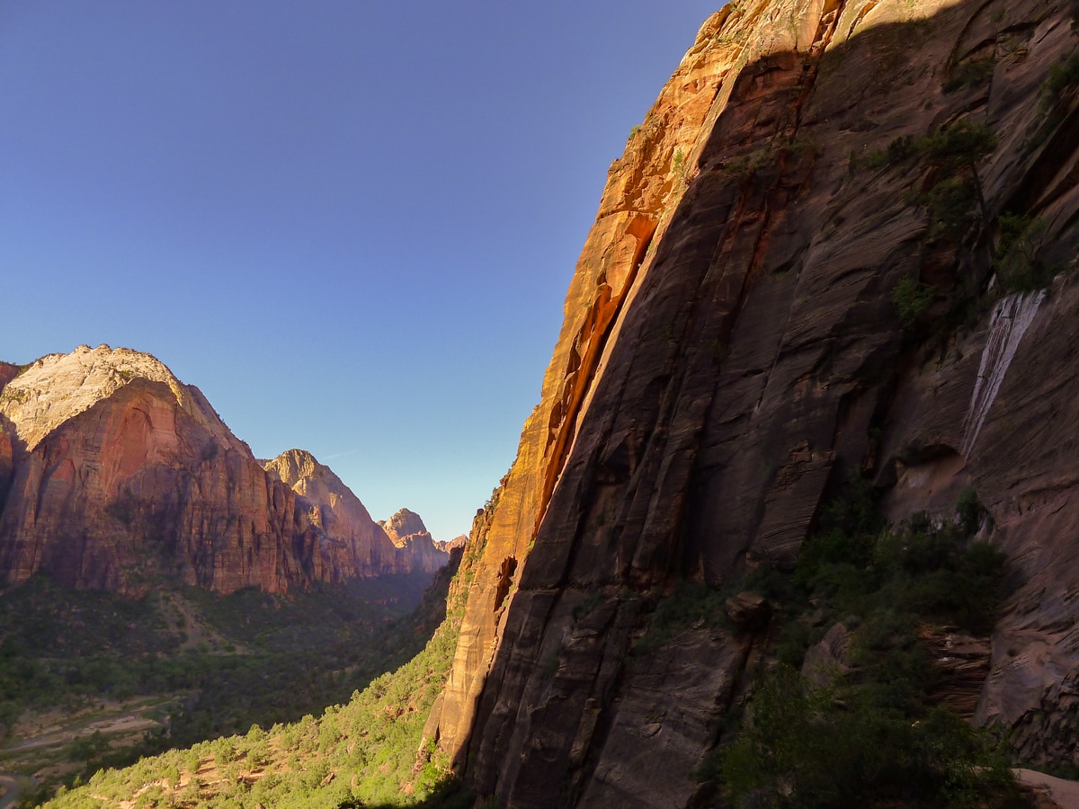
From here you can also see where the precarious trail continues – the narrow, chain lined summit ridge leading to Angel’s Landing itself. First decide if you are confident enough in your feet to attempt this traverse, and then if you have a head for heights! If you choose to continue, follow the path towards the ridge. You will soon run into the famous ‘chains’ that run along most of the traverse. These will be your best friends as you continue, supplying fantastic handholds along the scarier sections of this part of the hike. Take this traverse slow, give yourself plenty of extra time to make confident movements. The park service is quick to note that people have slipped and fallen on this part of the hike, so take extreme caution!
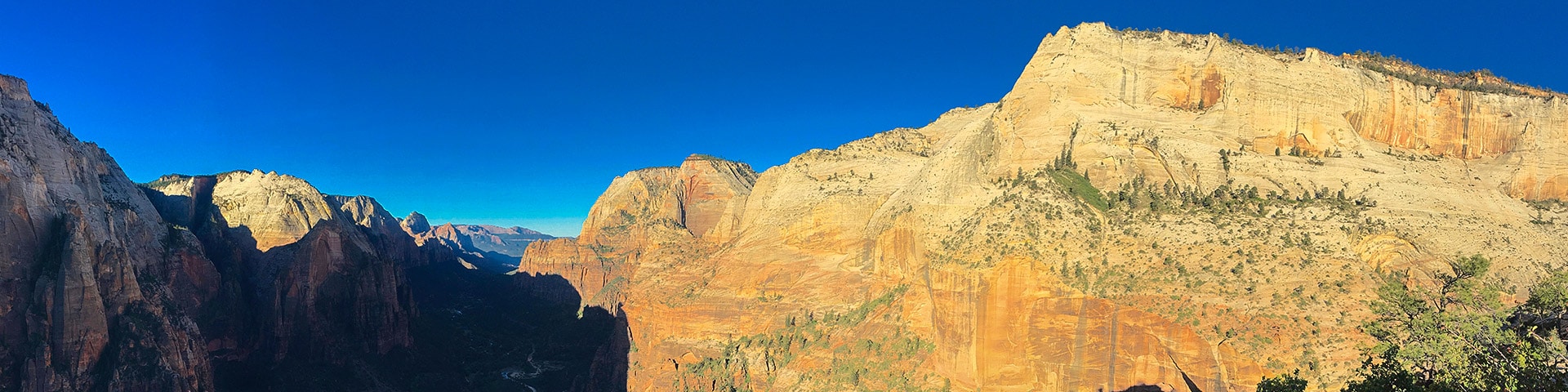
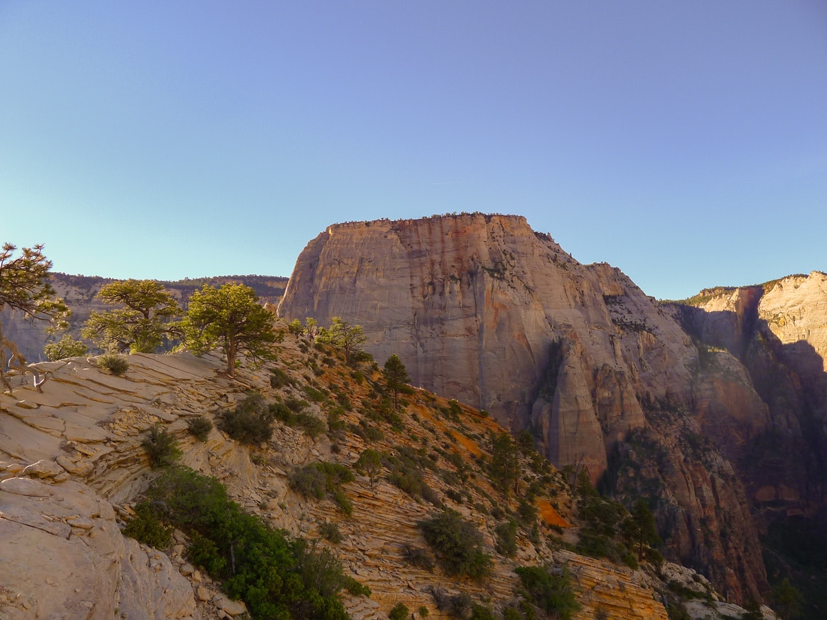
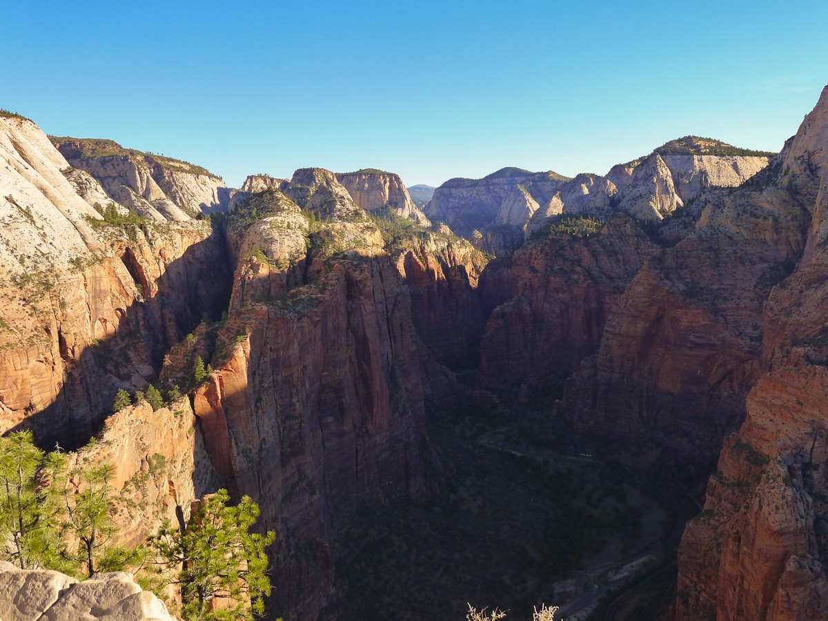
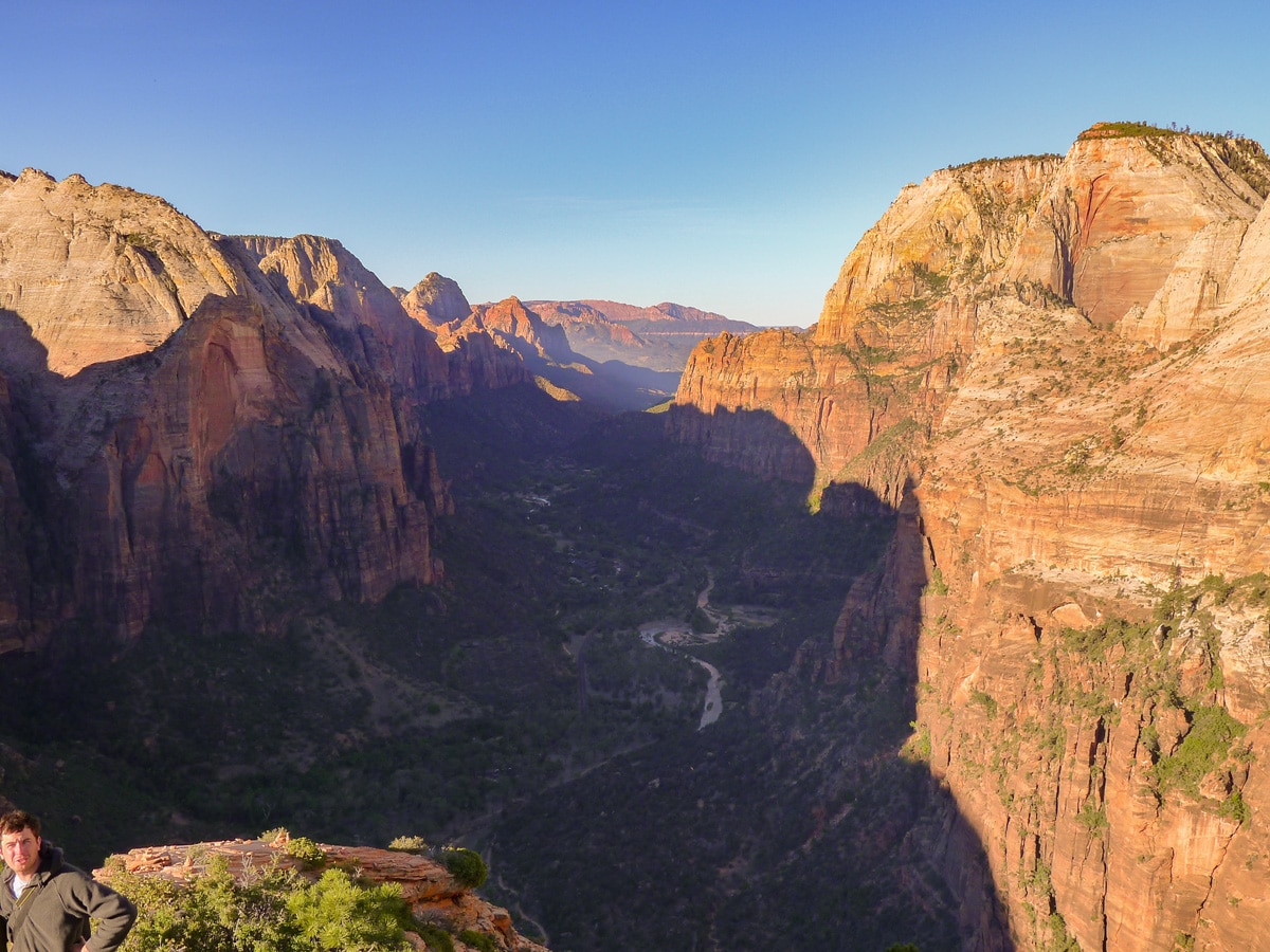
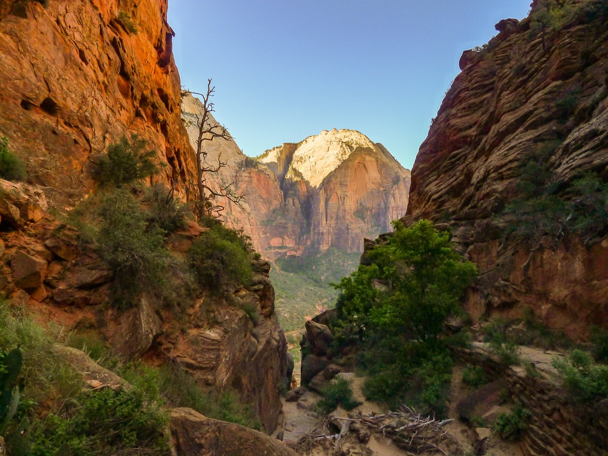
Finally when you reach the summit proper you will be given incredible panoramas of the park! Looking across the notch you gained you will be able to see Mount Majestic, and Cathedral Mountain to the right. Across the valley, The Great White Throne is visible on the left and Red Arch Mountain on the right. To the left (up river along the canyon) you will most certainly be able to make out Observation Point, another stunning hike!
After soaking in the views return the way you came, taking care with the chains.
Insider Hints
Since this hike is so popular, it can easily become a traffic jam even by mid-morning. This is certainly a hike to catch the first bus from the visitors centre for! Especially the ‘chains’ section of the hike goes really slow when the trail is congested.
Even the view from Scout’s Lookout is fantastic. If you choose not to go to the landing itself, this spot is well worth the hike.

Similar hikes to the Angel's Landing hike
Zion Ponderosa Checkerboard Trail
The Zion Ponderosa Checkerboard Trail is an easy walk that the whole family can enjoy. This trail is shared by…
Scoggin’s Wash
The Scoggin’s Wash Trail is a true desert hike that links the more popular Coalpits Wash Trail with the iconic…
Camp Creek Trail
The Camp Creek Trail is a rarely visited path down a beautiful box canyon in the Kolob section of Zion.…
Clara Fields 4 years ago
The view was worth the hike. Will go back again!
Barbara Clarkson 4 years ago
Got lucky to see lovely rainbow at its base that makes the trail worth it!
ArnoldM 4 years ago
This place is breath taking. it should be on everyone's bucket lists!
leo_Martini 4 years ago
Don’t miss the stargazing if you can help it... this place is absolutely beautiful.
April O. 4 years ago
It was a precious hike! Nice way to get wonderful views of other attractions.
BoulderBound 4 years ago
Challenging hike. Take your time to see the wonderful views, It is really rewarding accomplishment.
brandonlong 4 years ago
It’s sets the soul free and completely makes you feel close to Gods country.
marjflores 4 years ago
It gives such an incredible panoramic view of the park.
benhilton 4 years ago
There are lots of incredible scenery! Glad we visited!
Adriana K. 4 years ago
Path is relatively easy to do with limited obstacles, good view of the landscapes all around.