
6460 Lost Peak Trail
View Photos
6460 Lost Peak Trail
Difficulty Rating:
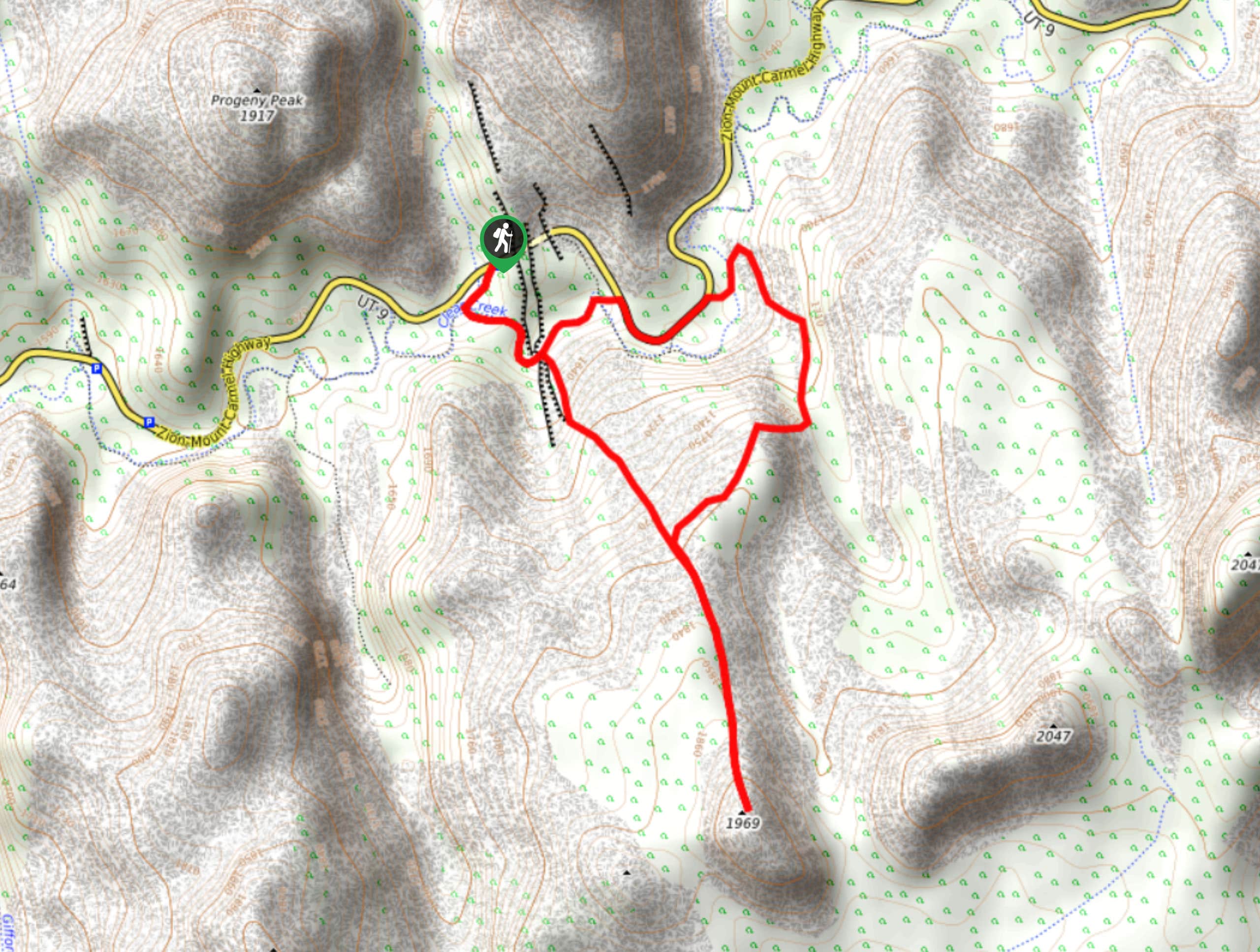
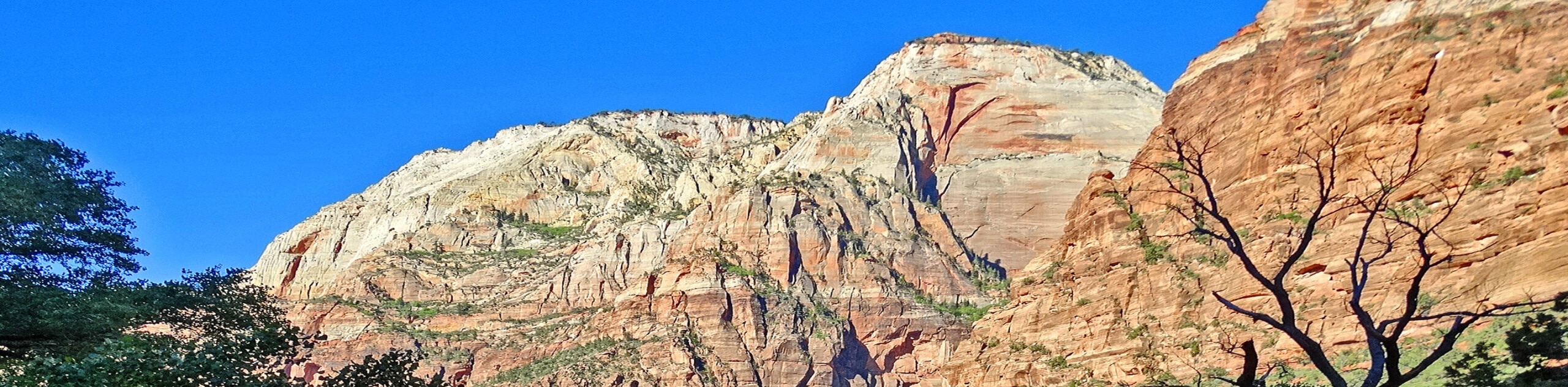
The trail to Peak 6460 (known locally as “Lost Peak”) is a fantastic scramble for experienced hikers. This trail follows a 3.5mi loop and can be done in half a day. This trail requires route-finding and scrambling but hikers will be rewarded with epic views away from the crowds of the main canyon.
Getting there
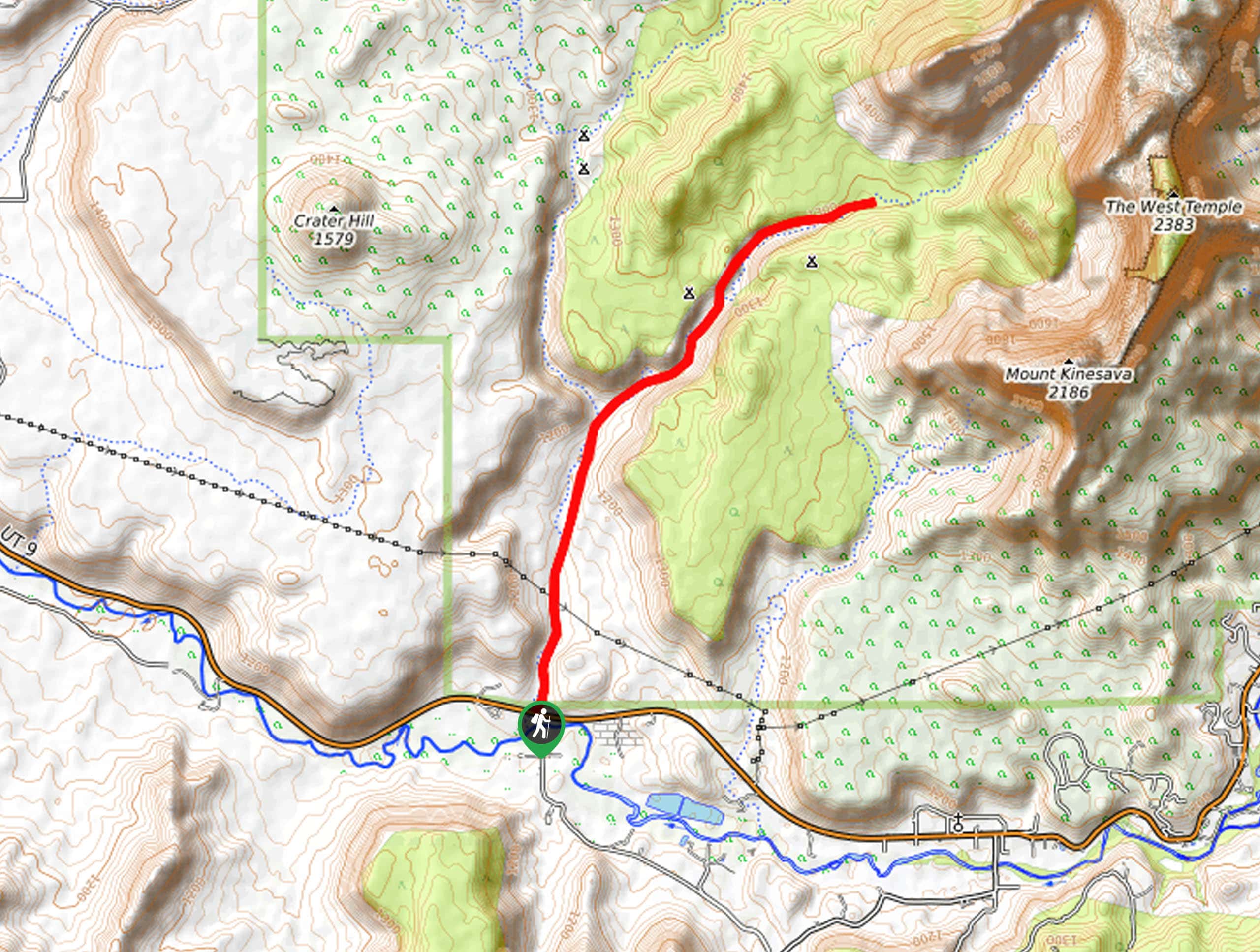
Heading eastbound on route 9 out of Springdale, UT; drive up the switchbacks and through the Zion-Mount Carmel tunnel. The trailhead for The 6460 Lost Peak Trail is on the south (right) side of the road just before the smaller tunnel.

About
| Backcountry Campground | No |
| When to do | year-round |
| Pets allowed | No |
| Family friendly | No |
| Route Signage | None |
| Crowd Levels | Low |
| Route Type | Circuit |
6460 Lost Peak Trail
Elevation Graph
Weather
6460 Lost Peak Trail Description
The Path to Lost Peak (Peak 6460) follows the same route as the Cockeye falls trail, save for a little detour off south to reach the summit of Lost Peak. This trail is unmaintained, and hikers who want to do this trail should be competent in route finding and scrambling. Hikers may want to bring a GPS unit along with them to avoid getting off trail. The rewards of the 6460 Lost Peak Trail are huge; the low-traffic nature of this route makes it a great place to find adventure, and to get some solo time in a beautiful area of Zion National Park.
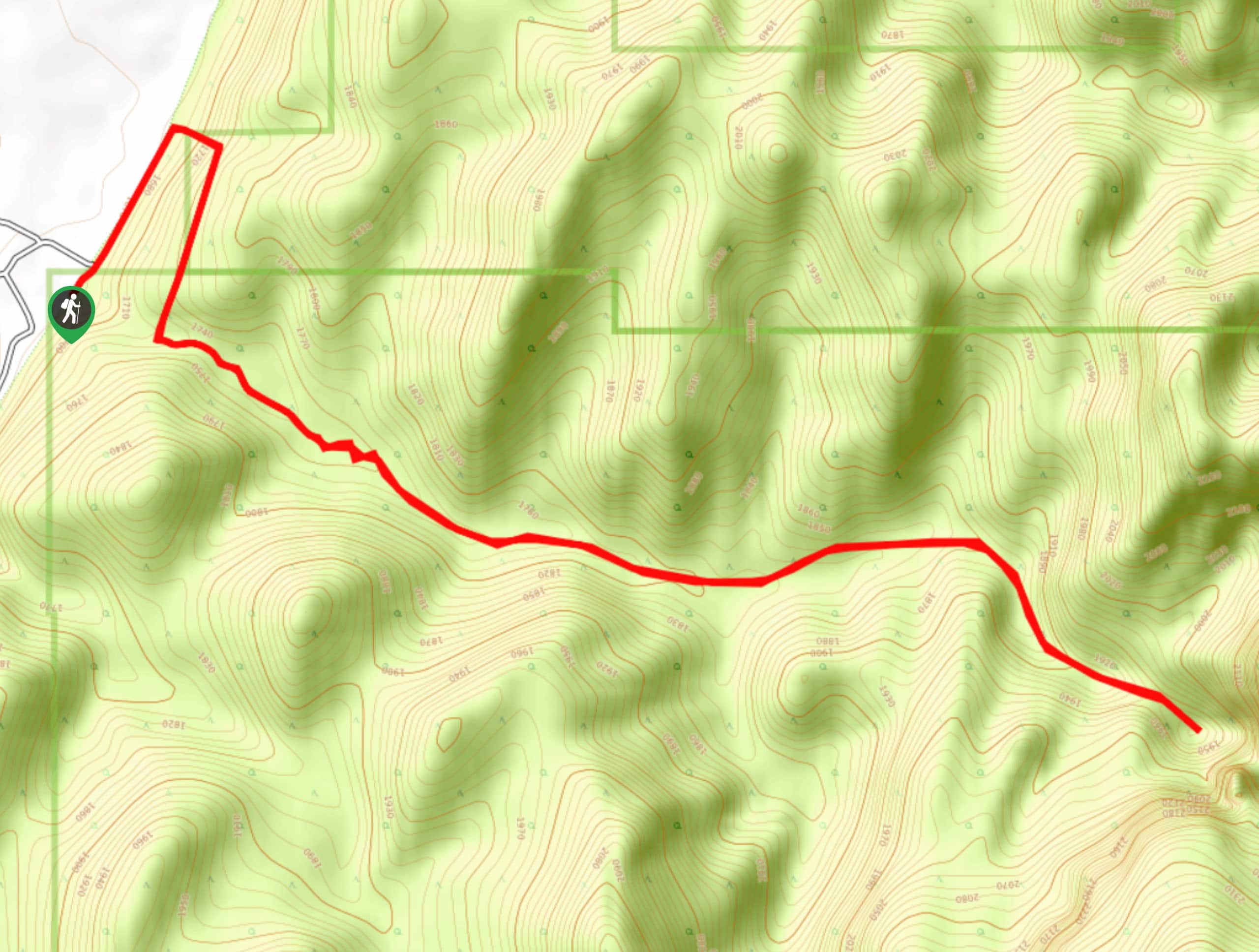
Starting at the pull off on the south side of highway 9, descend down to Clear Creek via the washbed trail. Turn left at the creek to follow the creek bed eastward. Fair warning: if there is water in the creek at this point, the path may soon become impassable ahead. Approximately 0.3mi down the wash, a large pine tree on your right hand side marks the entrance to the Hidden Garden Slot Canyon, this is a short, cool canyon walk lush with plant life. About 200 yards past the Hidden Garden slot canyon, there is a small wash on your right hand side, follow this wash south as it turns into slickrock. As you navigate the slickrock section, keep an eye out for moqui marbles: unique little iron-oxide and sandstone formations resembling small brown-ish marbles.
After about 0.6mi of slickrock, the landscape changes into sagebrush, sand, and cacti as you reach a plateau. Here, the prominent peak of 6460 is visible straight ahead to the south. Follow the ridgeline south up to the summit and take a moment to enjoy the view from the top. When you’re ready, follow the ridgeline back down to the saddle. The circuit itself continues north from the saddle up about a mile to Cockeye Falls before turning south/southeast to follow Clear Creek back to your starting point.
Similar hikes to the 6460 Lost Peak Trail hike
Scoggin’s Wash
The Scoggin’s Wash Trail is a true desert hike that links the more popular Coalpits Wash Trail with the iconic…
Camp Creek Trail
The Camp Creek Trail is a rarely visited path down a beautiful box canyon in the Kolob section of Zion.…
Elephant Temple via The Riverside Walk
The hike through the Narrows to the base of Elephant Temple is a challenging day hike through one of the…
Comments