
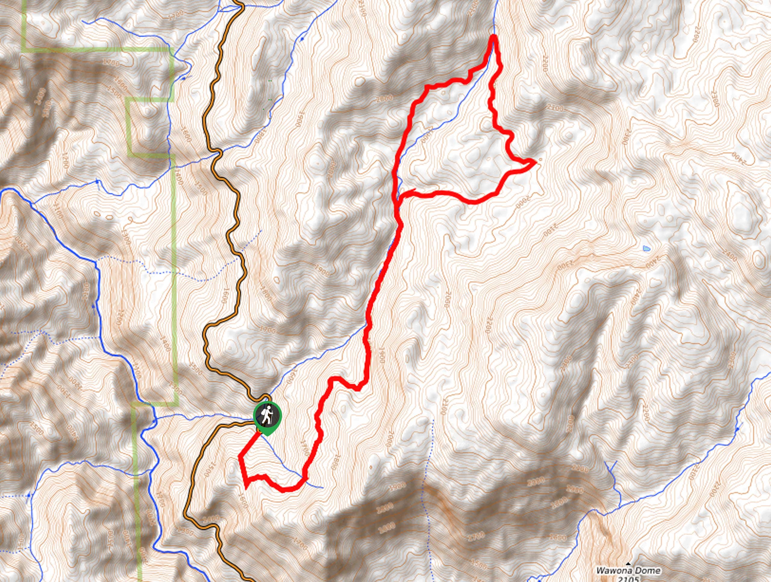
Alder Creek Loop Trail
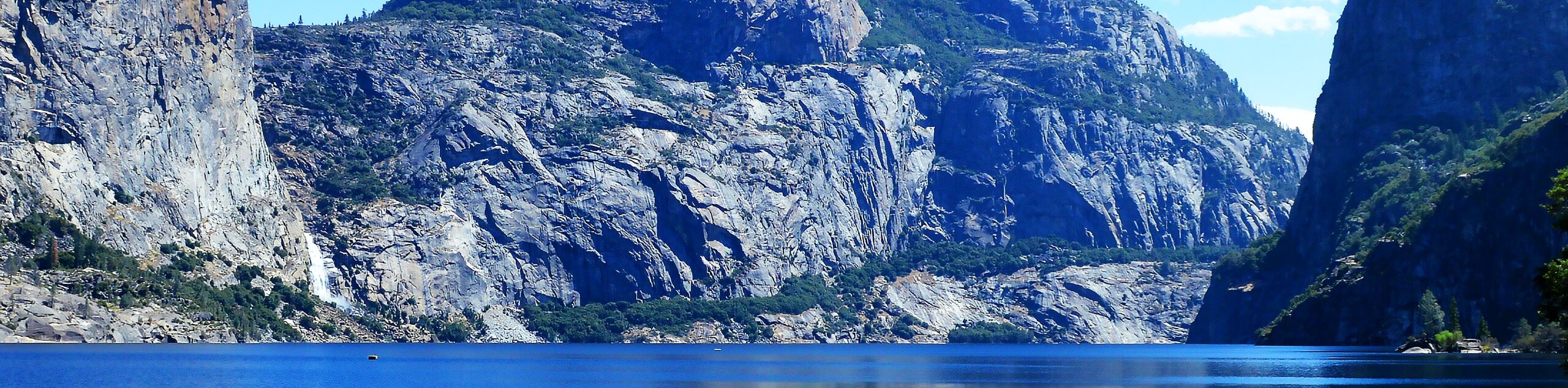
View Photos
Alder Creek Loop Trail
Difficulty Rating:
The Alder Creek Loop Trail is an awesome adventure in Yosemite National Park that boasts stunning scenery. This primitive backcountry adventure is ideal for experienced hikers seeking solitude and tranquility, and who also don’t mind navigating unmarked terrain.
Getting there
This trek is accessed via the Alder Creek Trailhead off Wawona Road.

About
| Backcountry Campground | Backcountry Camping, Wilderness Permit Required. |
| When to do | May-October |
| Pets allowed | No |
| Family friendly | No |
| Route Signage | Poor |
| Crowd Levels | Low |
| Route Type | Lollipop |
Alder Creek Loop Trail
Elevation Graph
Weather
Alder Creek Loop Trail Description
The Alder Creek Loop Trail is a demanding, but highly rewarding adventure in Yosemite National Park. Wander past mesmerizing cascades, through towering pines, and picturesque wildflower meadows along this primitive trail. As this trek is on the longer side, we suggest departing at dawn to beat having to trek back in the dark. Additionally, much of this hike is unmarked and primitive, so a trail GPS is a must! Lastly, when traveling deep into the wilderness it is important to be mindful of wildlife—consider wearing a bear bell and bring bear spray to deter unwelcome encounters. Note: the National Park charges an entrance fee; refer to the NPS website for additional information.
Once your shoes are laced and your water bottle is filled, your adventure along the Alder Creek Loop begins from the trailhead off Wawona Drive. From here, venture the Alder Creek Trail and keep left at the first intersection. Gradually climbing through the woodlands and over snowmelt streams, you will be granted sights of quaint cascades in the spring when the waters surge. Using the trail GPS, follow the Alder Creek Trail along the curves of the water before diverting right onto the Deer Camp Road. This path will guide you east over Alder Creek and past a cascade, before diverting you south.
Wandering south, you will reach another junction and keep right here to be reconnected with the Alder Creek Trail. From here, veer left and retrace your steps southwest, all the way back to the trailhead to mark the end of your adventure.
Similar hikes to the Alder Creek Loop Trail hike
Beehive Meadow Trail
The Beehive Meadow Trail is an amazing adventure in Hetch Hetchy that travels through diverse terrains. Cross the O’Shaughnessy Dam,…

Chain Lakes Hike
Explore one of the more secluded trails in Yosemite National Park along the Chain Lakes Hike. This wonderful trail exposes…
Grant Lakes Hike
Immerse yourself in Yosemite’s high country along the Grant Lakes Trail. This epic hike exhibits the grandeur and diversity of…
Comments