
Mount Washburn hike
View Photos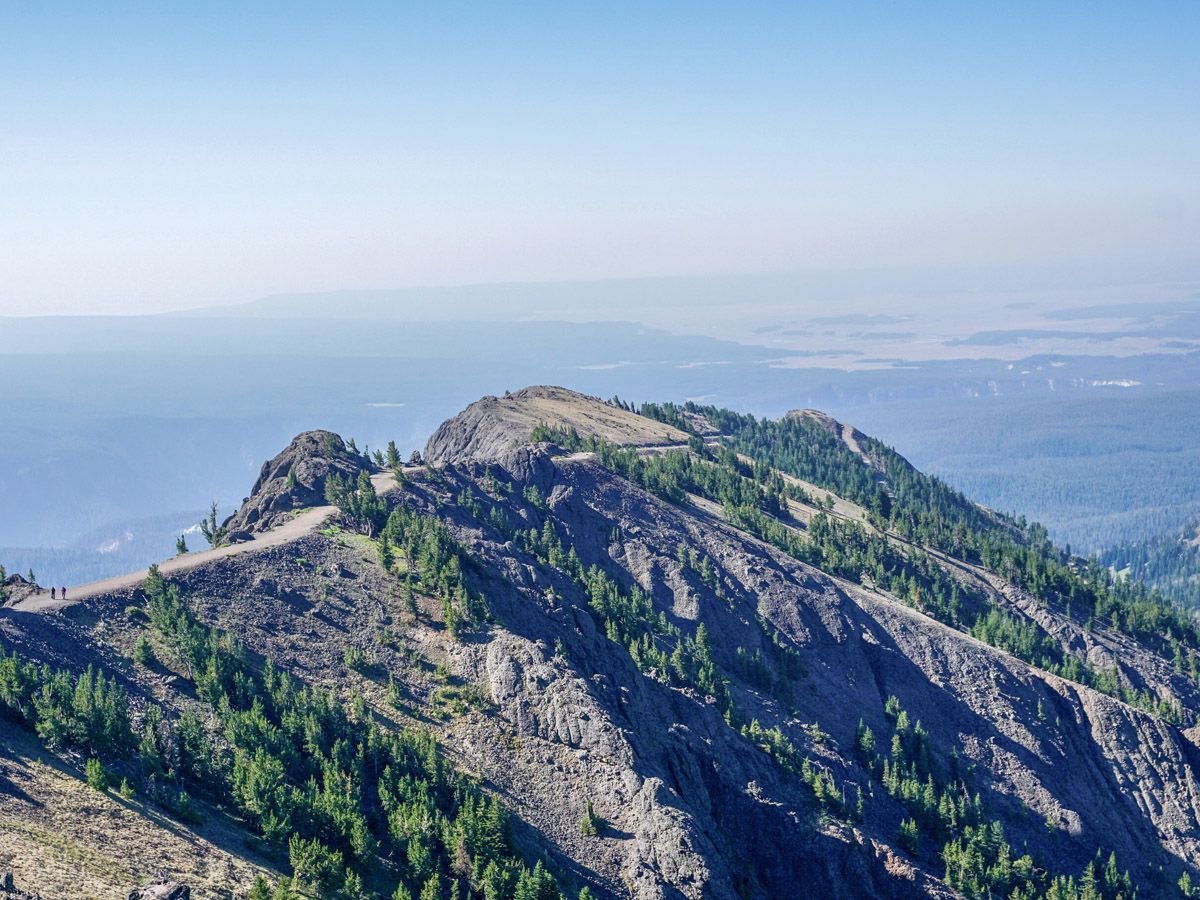
Mount Washburn hike
Difficulty Rating:
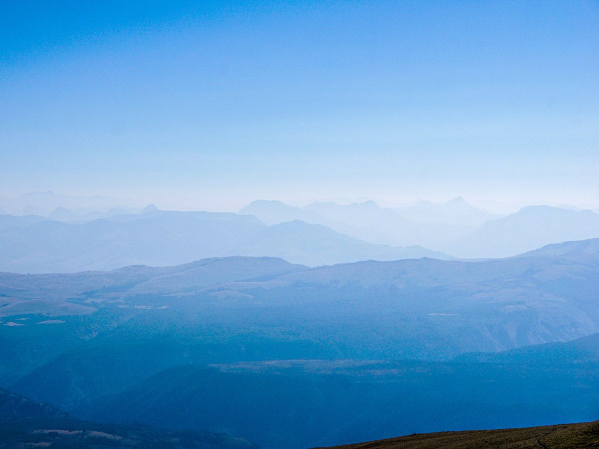
A well-used trail climbs gently up to the summit of Mt. Washburn, where you will find a small radio station. The views are gorgeous – look down into the brink of the Grand Canyon of Yellowstone on this hike and the numerous rolling, grassy hills that surround it.
Getting there
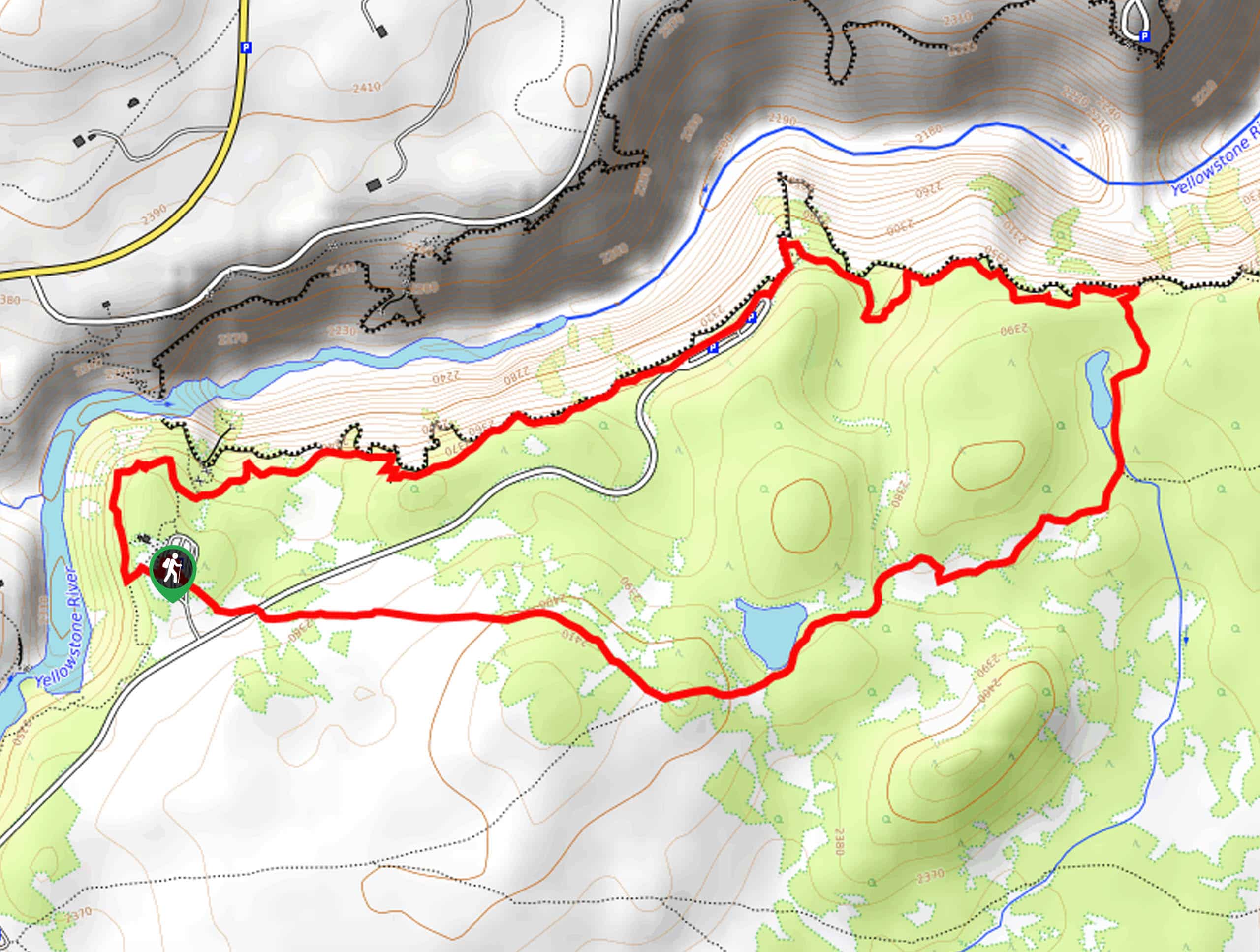
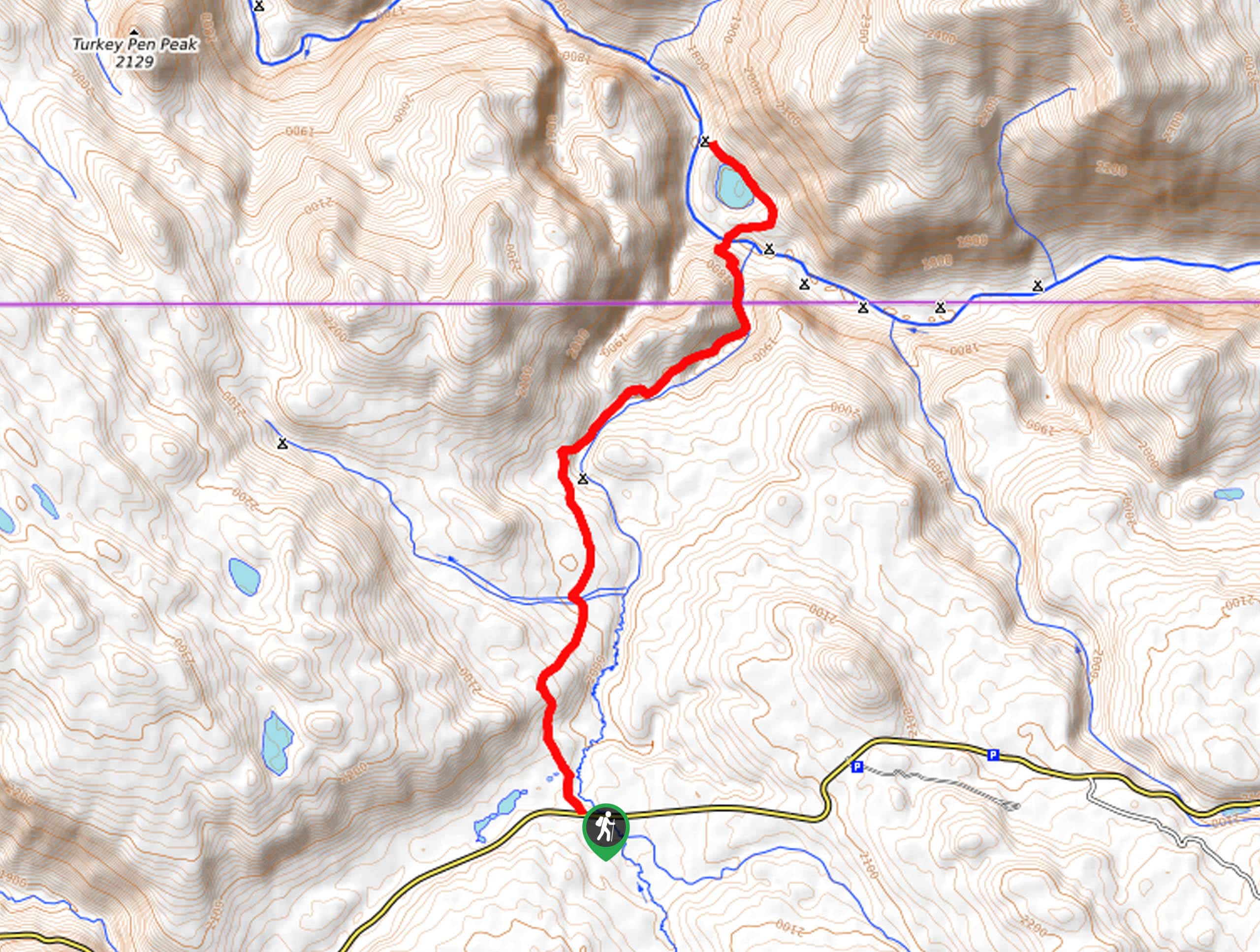
Either drive north from Canyon Village or south from Tower Junction to reach the trailhead for Mt. Washburn. The trailhead is right beside Dunraven Pass. There is an alternate route that starts at the end of Chittenden Road, however that route allows bicycles.

About
| When to do | June through September |
| Backcountry Campsites | No |
| Toilets | At Parking Lot |
| Family friendly | No |
| Route Signage | Average |
| Crowd Levels | Moderate |
| Route Type | Out and back |
Mount Washburn
Elevation Graph
Weather
Route Description for Mount Washburn
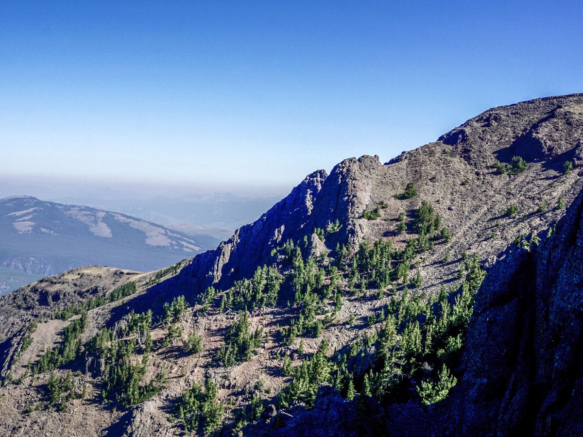
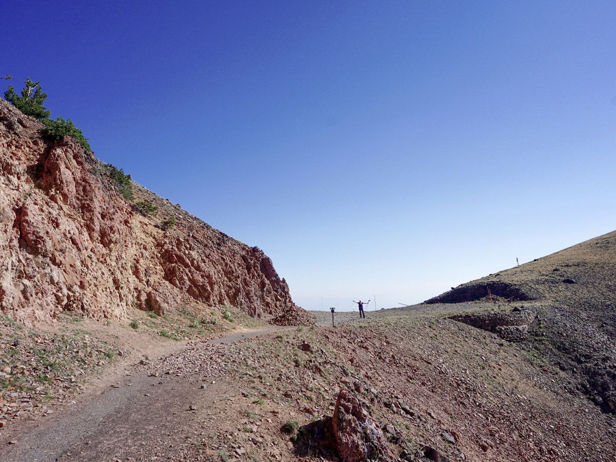
Right from the go, this hike gives you views down to the Grand Canyon of the Yellowstone. As you steadily gain elevation on this moderately-sloped path the scenery just keep getting better. There is only one path to follow and it is in excellent condition – no way to get lost!
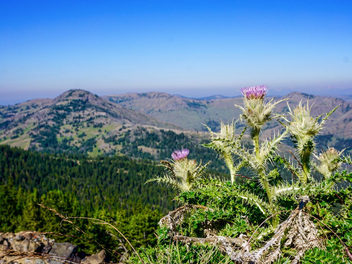
As you hike you will come across some of the best views in the park, including wildflower-studded meadows, dense forests, and expansive canyons. Across the road you will see the grassy Dunraven and Hedges Peak. Hiking north you will be able to see the mountains of the Absaroka Beartooth Wilderness, on the boundary of the park.
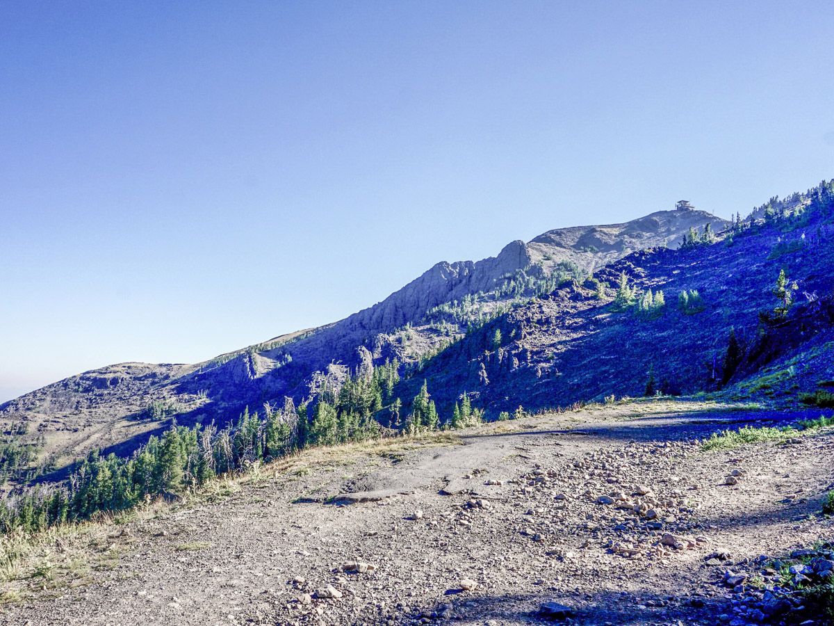
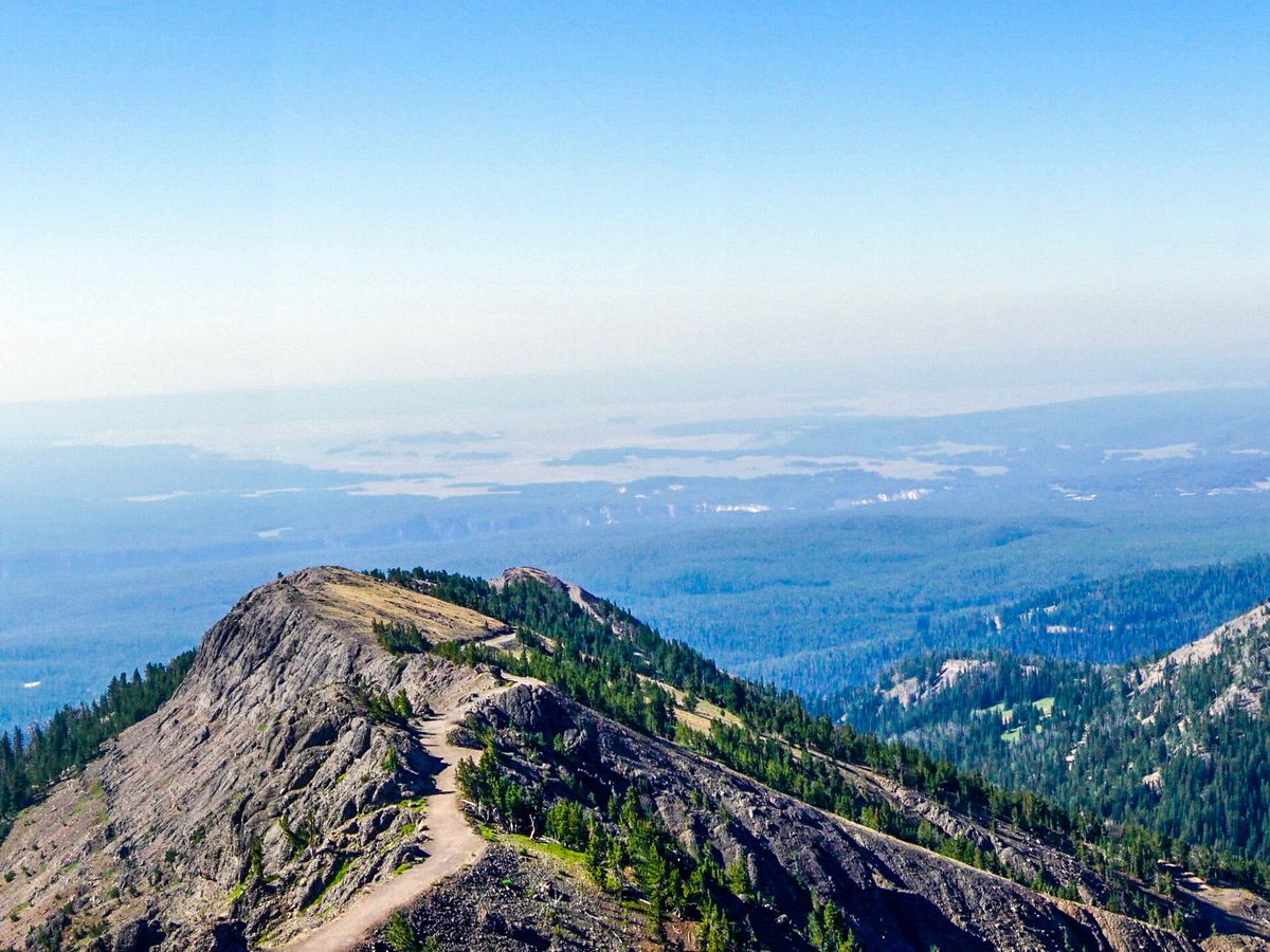
After most of the climbing is done you will pop out onto a rocky ridge, where the apex of the good views is located. You will be able to see the lookout tower at the top of Mt. Washburn. As you advance to the final approach to the summit, you will gain the shoulder of the Mt. Washburn Spur Trail. Turn left and go up to the very summit, turning counterclockwise as you climb.
The views from the top are enhanced versions of what you have seen hiking up, offering a fantastic finally to an awesome day hike. The hut at the top has a washroom, and can shield yourself from the famously strong winds present at the summit.
Hiking up Mount Washburn in 2024
In 2024, summer hiking conditions for the Mount Washburn trail from Dunraven Pass in Yellowstone National Park are expected to be favorable, though many are worried about whether 2024 will see the impact of forest fires. For those planning a visit, keep in mind that Dunraven Pass, where the trail starts, is open from May 24 to October 31, 2024. Also, make sure to check the road conditions before arriving as there are numerous road upgrades planned for 2024 which might restrict the access to trailhead.
Insider Hints
Because you will be hiking up an old road, the wide flat surface tends to hold snow very well. If hiking early in the season be aware of late season snow banks!

Similar hikes to the Mount Washburn hike
Clear Lake and Artist’s Point Loop
The Clear Lake and Artist’s Point Loop is an easy, scenic hiking circuit in Yellowstone. This trail features incredible views…
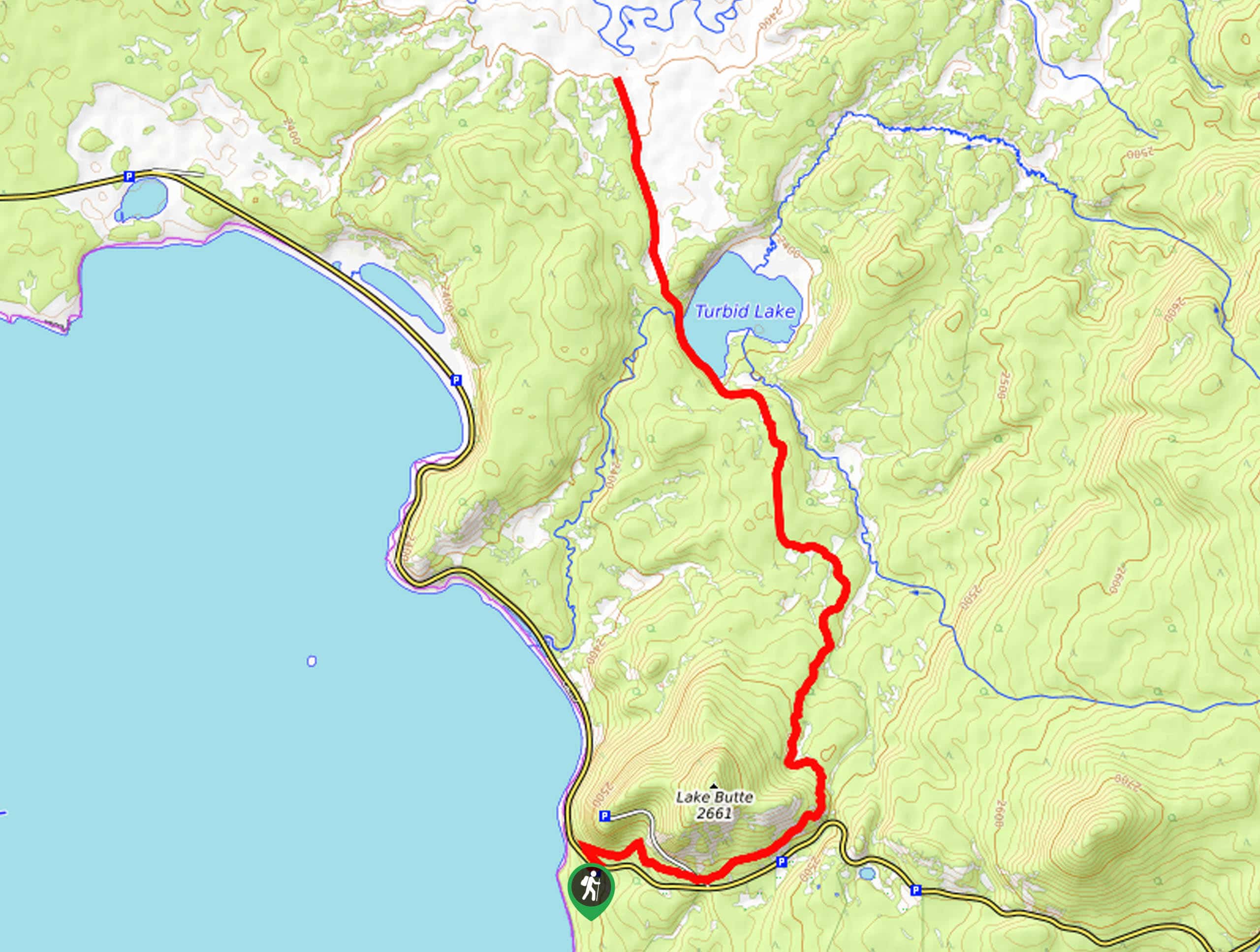
Turbid Lake Trail
The Turbid Lake Trail is an adventurous hike in Yellowstone. This trail is not well maintained and requires navigation and…
The Crevice Lake Trail
The Crevice Lake Trail is a gorgeous hike in Yellowstone. This trail can be done as a day hike or…
Jane Watkinson 4 years ago
The summit boast of astonishing view of the Great Canyon. Moderately easy hike trail too.
Jellybean 4 years ago
Interesting lookout tower to warm up in, get some great shots of Yellowstone Lake.
Stewart Graham 4 years ago
It's a bit challenging, at least as far as the going up part is concerned. Amazing views
footfall 4 years ago
The view from the top is absolutely stunning. I would do the hike again.
mountaincat 5 years ago
Loved the fact that we could see a small part of the Great Canyon from up there. The hike itself was easier than we've expected
stocRob 5 years ago
My wife and I really loved this hike. The weather was nice, folks along the trail were nice, the views were spectacular. What more can you ask for