Chittenden Road to Mount Washburn
View Photos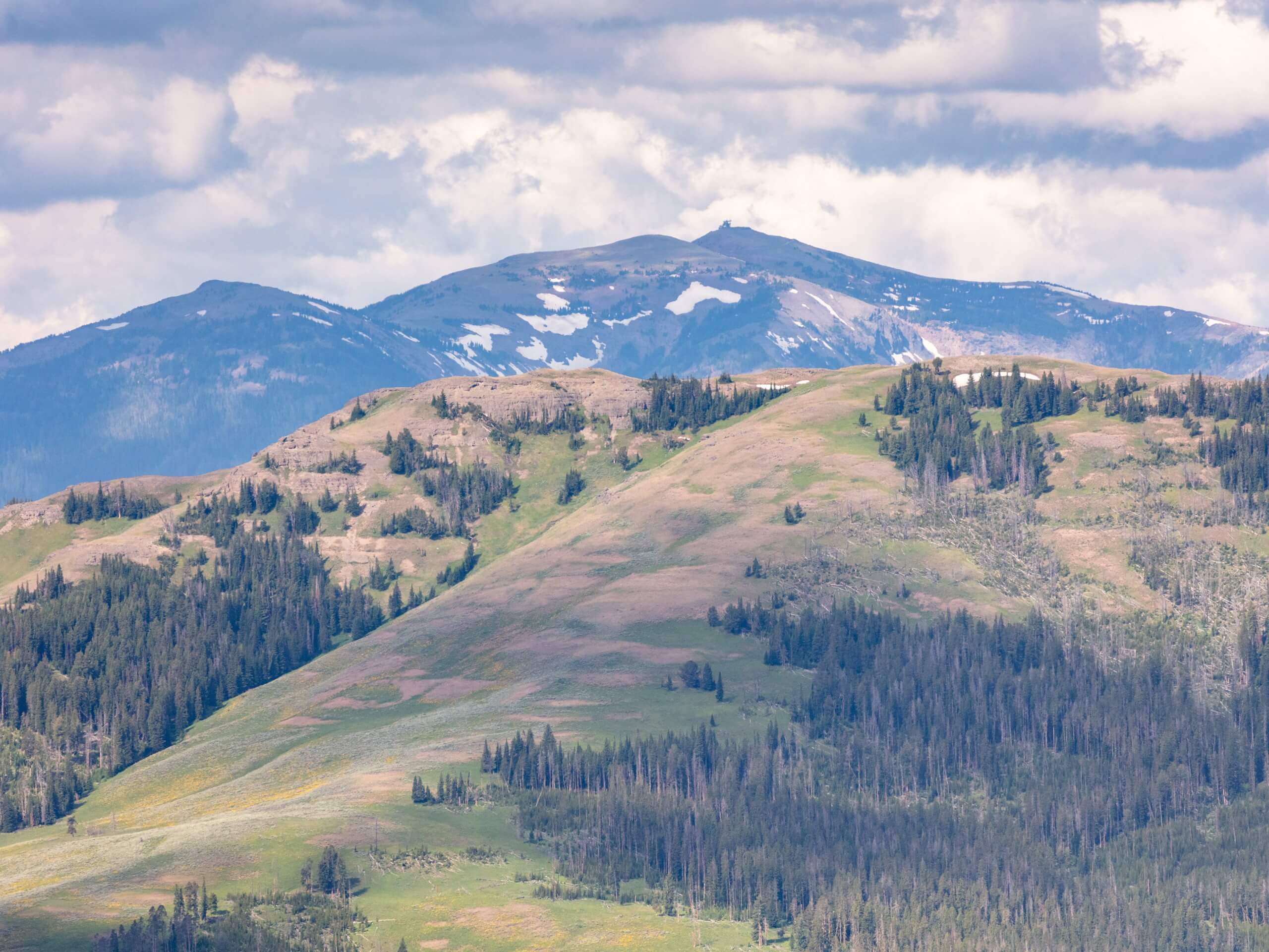
Chittenden Road to Mount Washburn
Difficulty Rating:
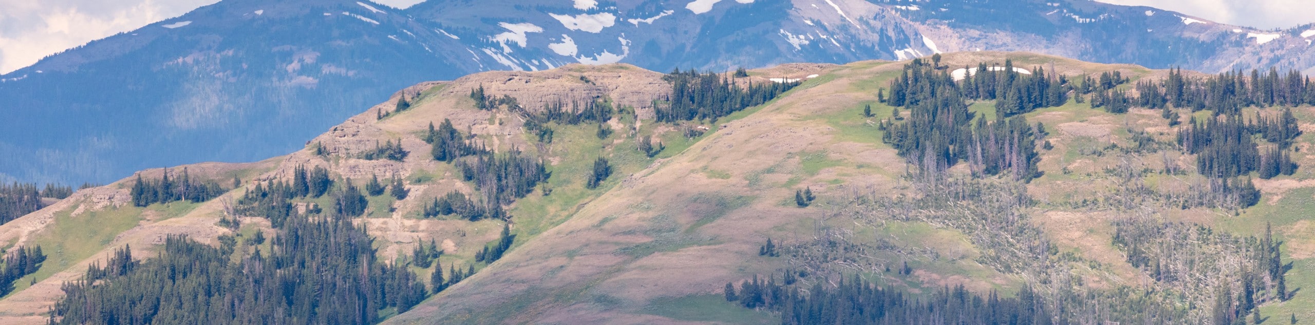
Chittenden Road to Mount Washburn is a fantastic trail in Yellowstone National Park. This is the easiest of the three routes to the top of Mount Washburn. From the summit, you will earn incredible views of Yellowstone Lake, the Grand Canyon of Yellowstone and the Absaroka Range in the distance.
Getting there
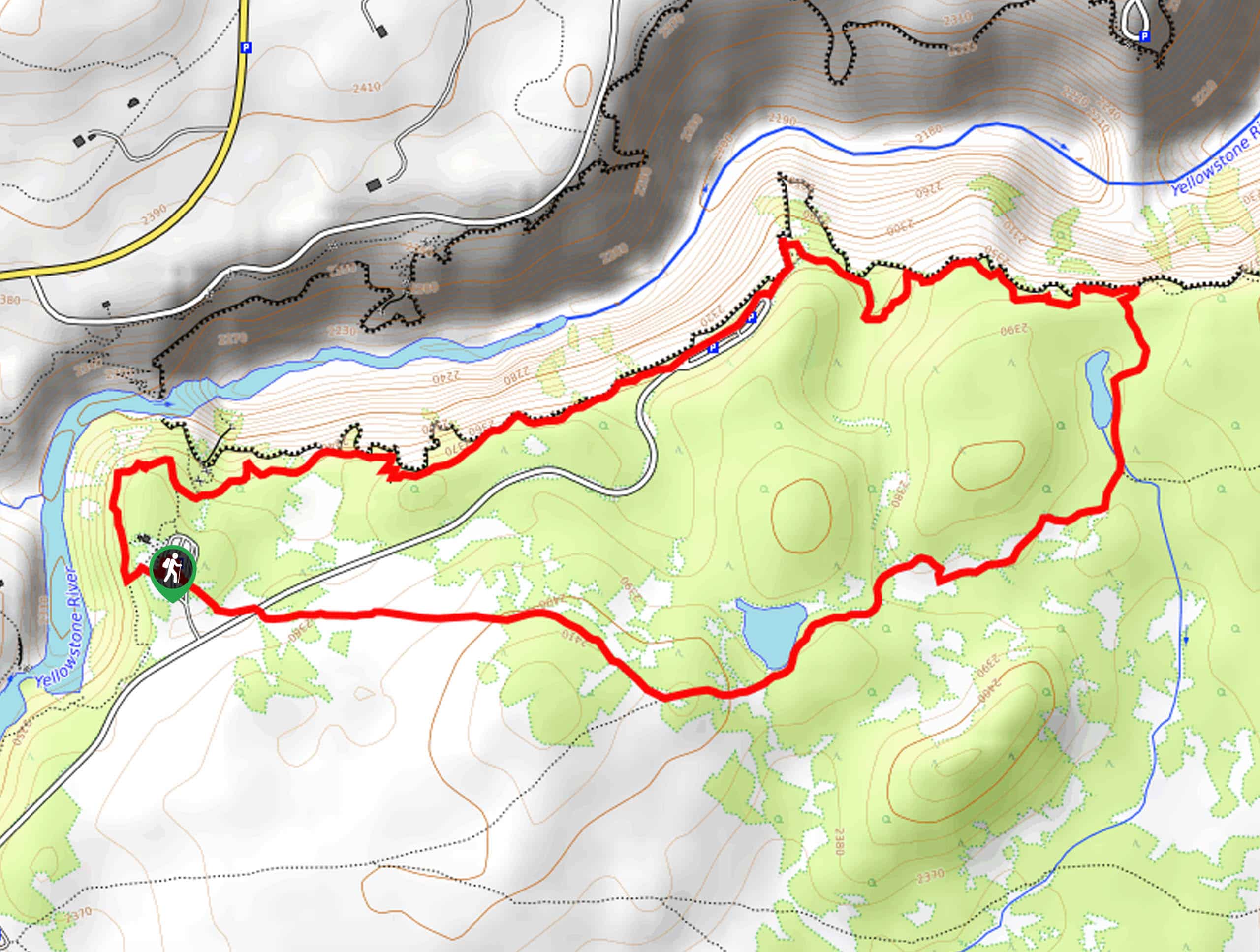
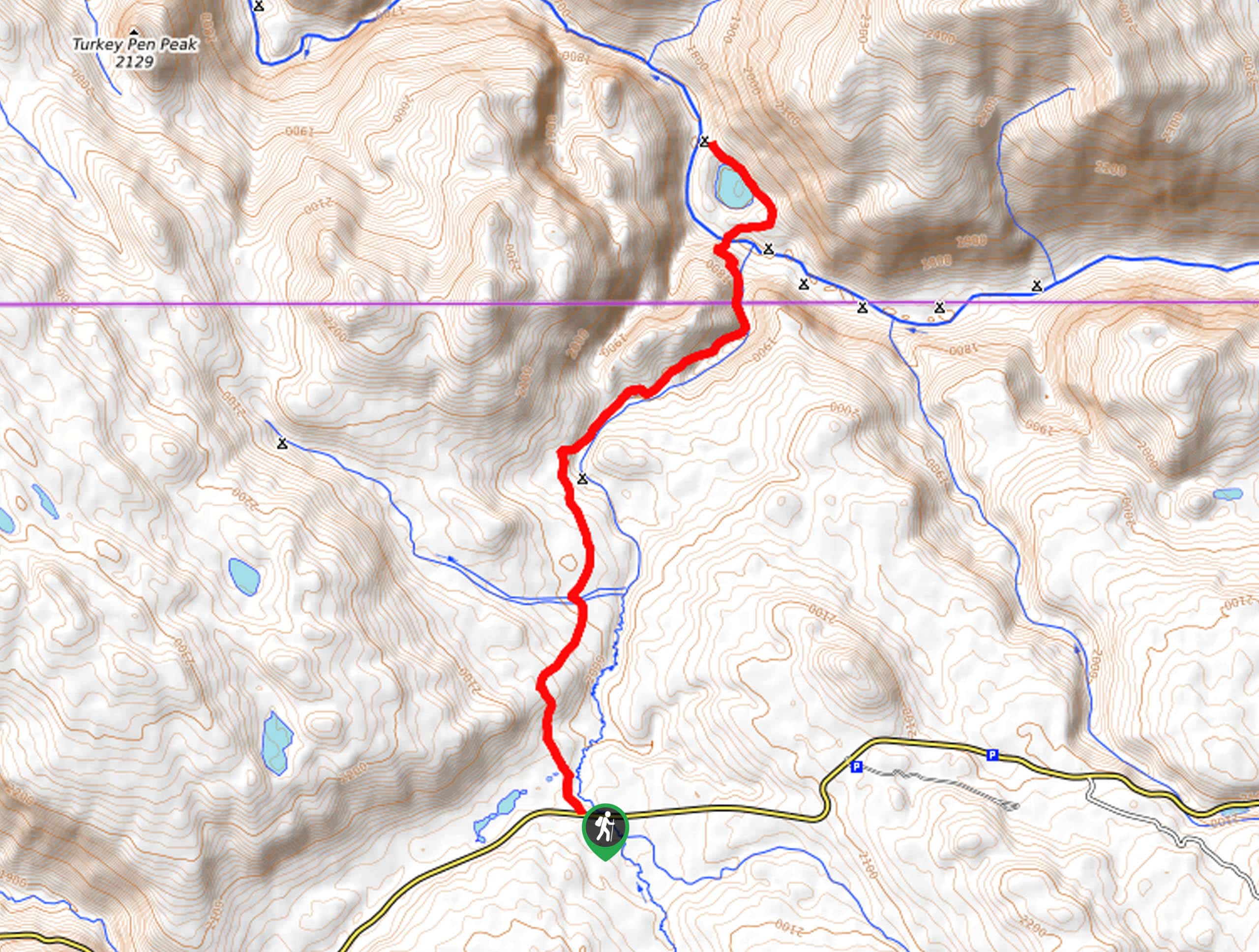
This hike begins at the Chittenden Road Trailhead at the south end of Chittenden Road.

About
| Backcountry Campground | No |
| When to do | June to September |
| Pets allowed | No |
| Family friendly | Older Children only |
| Route Signage | Average |
| Crowd Levels | Moderate |
| Route Type | Out and back |
Chittenden Road to Mount Washburn
Elevation Graph
Weather
Chittenden Road to Mount Washburn Description
Chittenden Road to Mount Washburn is a fantastic trail in Yellowstone. This route is moderately challenging with a steep and consistent climb. Proper hiking footwear and lots of water are essential for this hike. We recommend bringing along hiking poles to aid in your ascent and an extra layer for the summit as it can be cold and windy up top. This trail is peppered with the most beautiful wildflowers in the summer, and year-round, this can be a great place to see wildlife, including bighorn sheep. From the top of Mount Washburn, you will earn yourself incredible views of Yellowstone National Park and the Wyoming wilderness.
Beginning at the Chittenden Road Trailhead, follow the trail south as it climbs up to the top of Mount Washburn.
At the top, see if you can spy Yellowstone Lake, the Grand Canyon of Yellowstone, the Absaroka Range, and even the Tetons way in the distance. When you are ready to head down, simply retrace your steps to the Chittenden Road Trailhead, where you began.
Similar hikes to the Chittenden Road to Mount Washburn hike
Clear Lake and Artist’s Point Loop
The Clear Lake and Artist’s Point Loop is an easy, scenic hiking circuit in Yellowstone. This trail features incredible views…
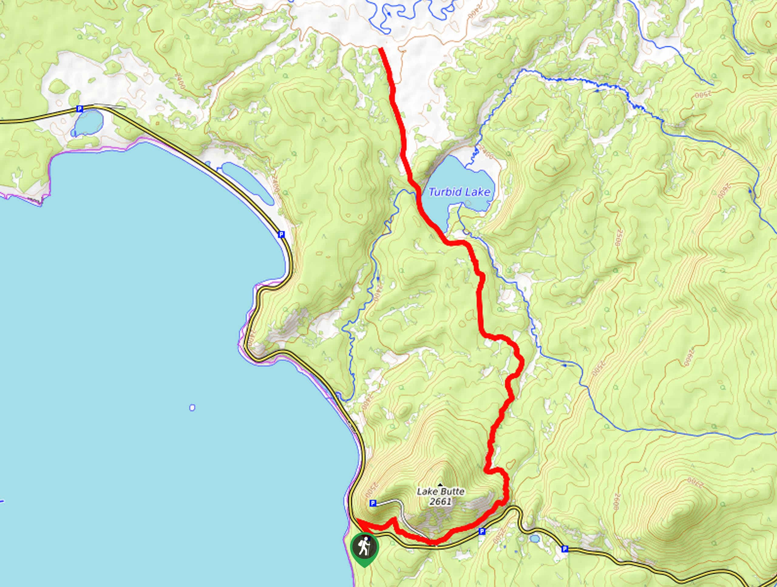
Turbid Lake Trail
The Turbid Lake Trail is an adventurous hike in Yellowstone. This trail is not well maintained and requires navigation and…
The Crevice Lake Trail
The Crevice Lake Trail is a gorgeous hike in Yellowstone. This trail can be done as a day hike or…
Comments