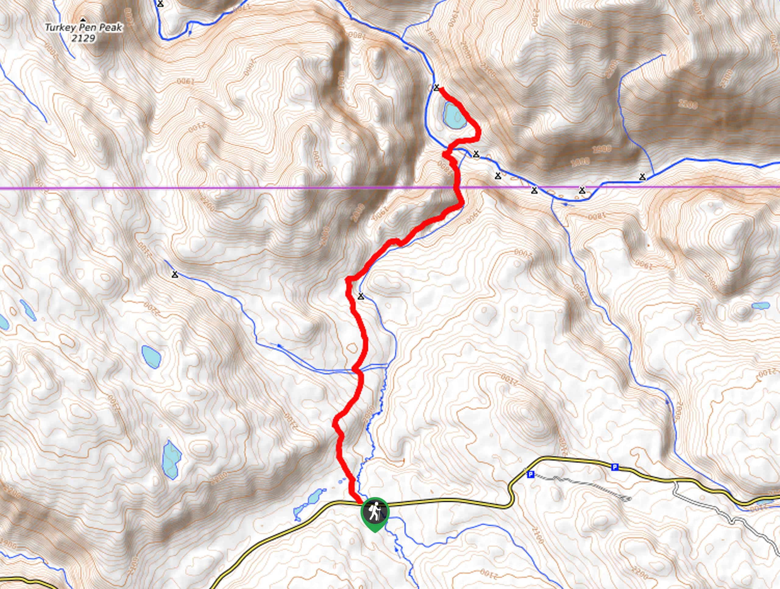
Bacon Rind Creek Trail
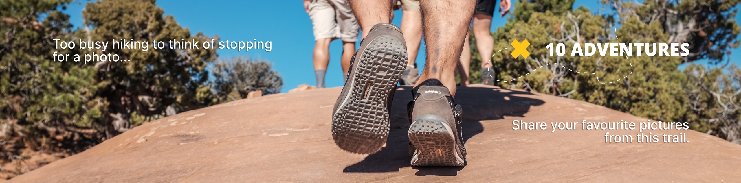
View Photos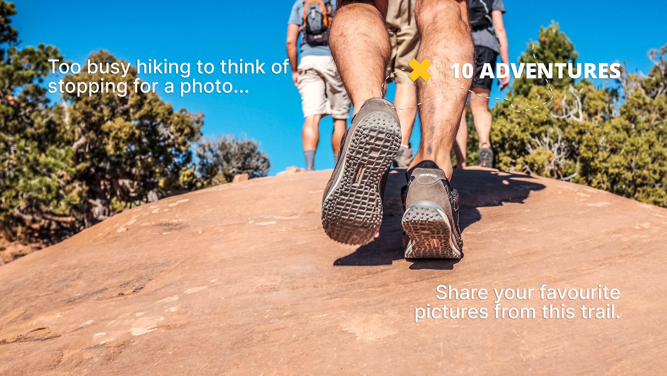
Bacon Rind Creek Trail
Difficulty Rating:
The Bacon Rind Creek Trail is an easy hike on the western edge of Yellowstone National Park. This trail is family-friendly and great for kids of all ages. The path along Bacon Rind Creek is a great place to spy wildlife, including deer, elk, and even wolves.
Getting there
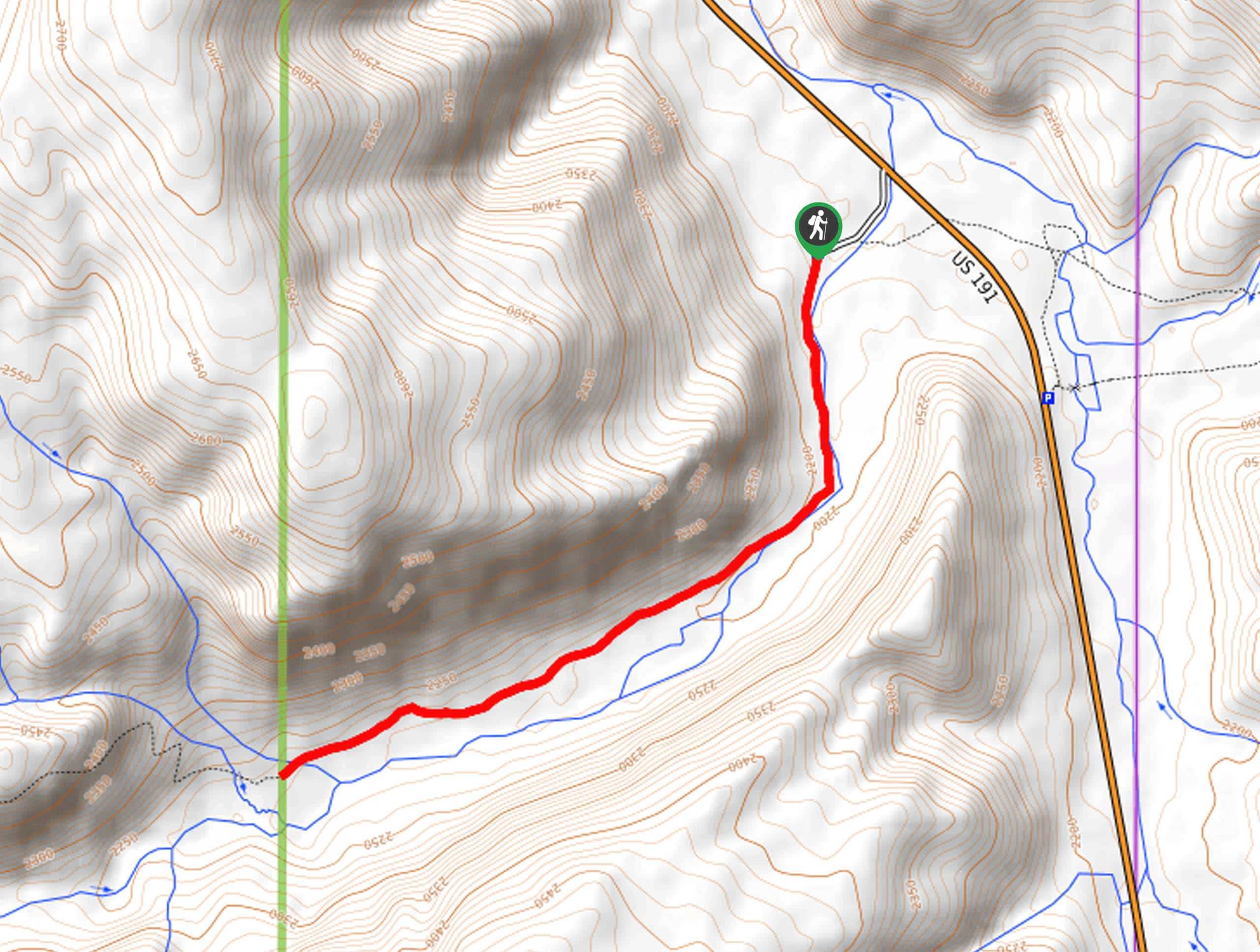
This hike begins at the Bacon Rind Trailhead just off of Gallatin Road.

About
| Backcountry Campground | No |
| When to do | May to September |
| Pets allowed | No |
| Family friendly | Yes |
| Route Signage | Average |
| Crowd Levels | Moderate |
| Route Type | Out and back |
Bacon Rind Creek Trail
Elevation Graph
Weather
Bacon Rind Creek Trail Description
The Bacon Rind Creek Trail is a great hike for the whole family. This trail is a prime habitat for large animals such as wolves, elk, and bears. Before you set out on the trail, ensure that everyone in your hiking party is familiar with bear safety protocols. At least one member of your group should carry bear spray. If you do see animals, do not feed them, and always admire them from a safe distance. With lovely views throughout and relatively low traffic year-round, this trail is a great place to escape the crowds of Yellowstone and enjoy the peace and quiet of the Wyoming wilderness. For a special experience, we recommend heading out on this hike in the summertime when the area is peppered with wildflowers.
Beginning at the Bacon Rind Trailhead, follow the path as it runs parallel to Bacon Rind Creek.
2.1mi from the trailhead, you will reach the Yellowstone Park boundary; this is a good spot to turn around and head back to the Bacon Rind Trailhead, where you began.
Similar hikes to the Bacon Rind Creek Trail hike
Clear Lake and Artist’s Point Loop
The Clear Lake and Artist’s Point Loop is an easy, scenic hiking circuit in Yellowstone. This trail features incredible views…
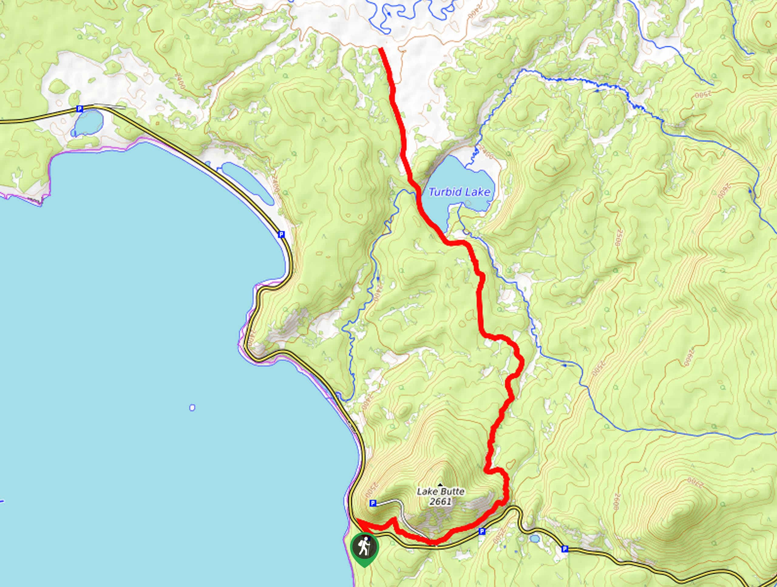
Turbid Lake Trail
The Turbid Lake Trail is an adventurous hike in Yellowstone. This trail is not well maintained and requires navigation and…
The Crevice Lake Trail
The Crevice Lake Trail is a gorgeous hike in Yellowstone. This trail can be done as a day hike or…
Comments