

Ymir Mountain Hike
View PhotosYmir Mountain Hike
Difficulty Rating:
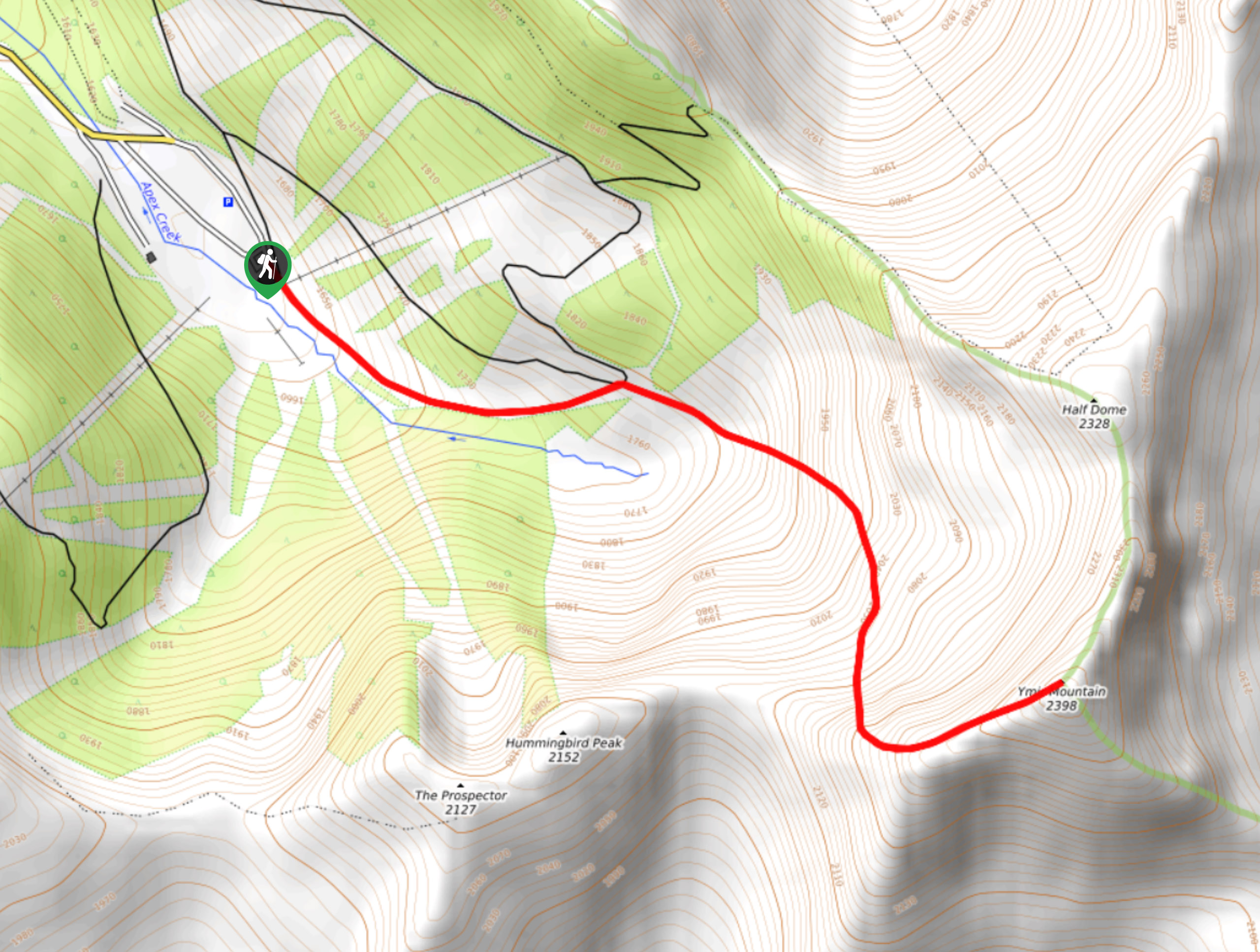
The trail leading up Ymir Mountain is a 3.9mi out-and-back hiking route at the Whitewater Ski Resort that climbs uphill through some rocky and technical terrain for amazing views from the summit. The trail follows closely alongside Apex Creek before working up to the ridgeline to an eventual ascent of the summit. From here, you can expect 360° views of the surrounding mountain peaks, including the Sherpa, Vili, and Enma peaks.
Getting there
To get to the trailhead for Ymir Mountain from Nelson, drive southeast on BC-6 for 6.8mi and turn left onto Whitewater Ski Hill Road. In 5.7mi, you will arrive at the resort area, where you will find the trailhead.
About
| When to do | May-September |
| Backcountry Campsites | No |
| Pets allowed | Yes - On Leash |
| Family friendly | No |
| Route Signage | Average |
| Crowd Levels | Moderate |
| Route Type | Out and back |
Ymir Mountain Hike
Elevation Graph
Weather
Ymir Mountain Hike Description
The hike up Ymir Mountain is a fun and challenging route that offers a mix of lightly-forested and rocky terrain on the way to the panoramic viewpoint at the summit. The trail sets out from the Whitewater Ski Resort and climbs uphill alongside the flowing waters of Apex Creek. From here, the trail will turn to the east through the alpine terrain before changing direction to the south on a course for the ridgeline. Hikers will need to gain a few hundred metres of elevation on the steep climb up the ridge, after which they will need to traverse the rocky and technical ridgeline to reach the summit. From the viewpoint, you will have an amazing sightline that looks down on the rocky bowl of Half Dome and the ski resort below to the north, Sherpa Peak to the west, and Enma Peak to the northeast. After taking in the amazing views, carefully make your way back down the rugged ridge to return to the resort.
Similar hikes to the Ymir Mountain Hike hike

Brilliant Overlook Hike
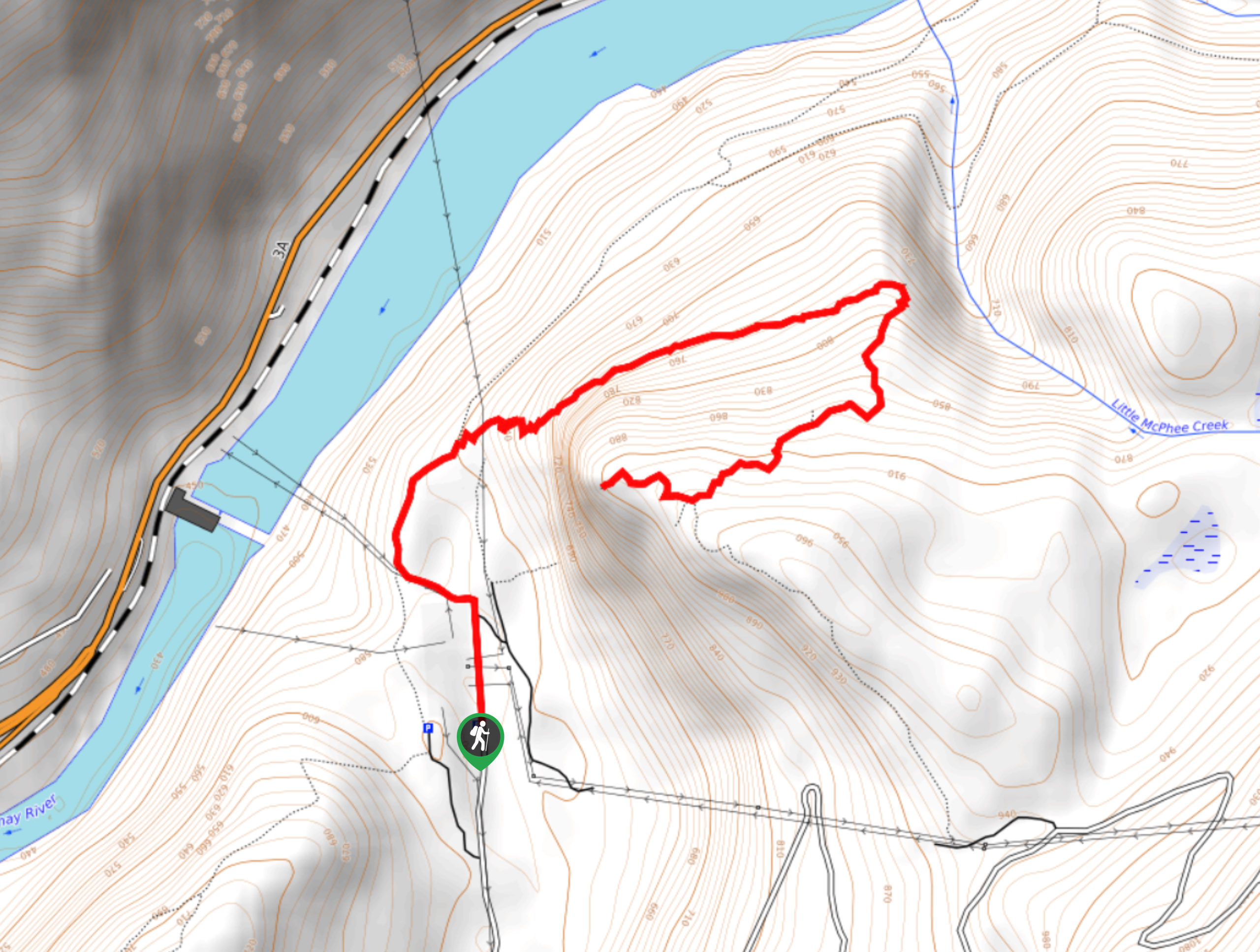
The hike to Brilliant Overlook is a 3.7mi out-and-back trail in Castlegar, BC, that works through the forest…

Merry Loop
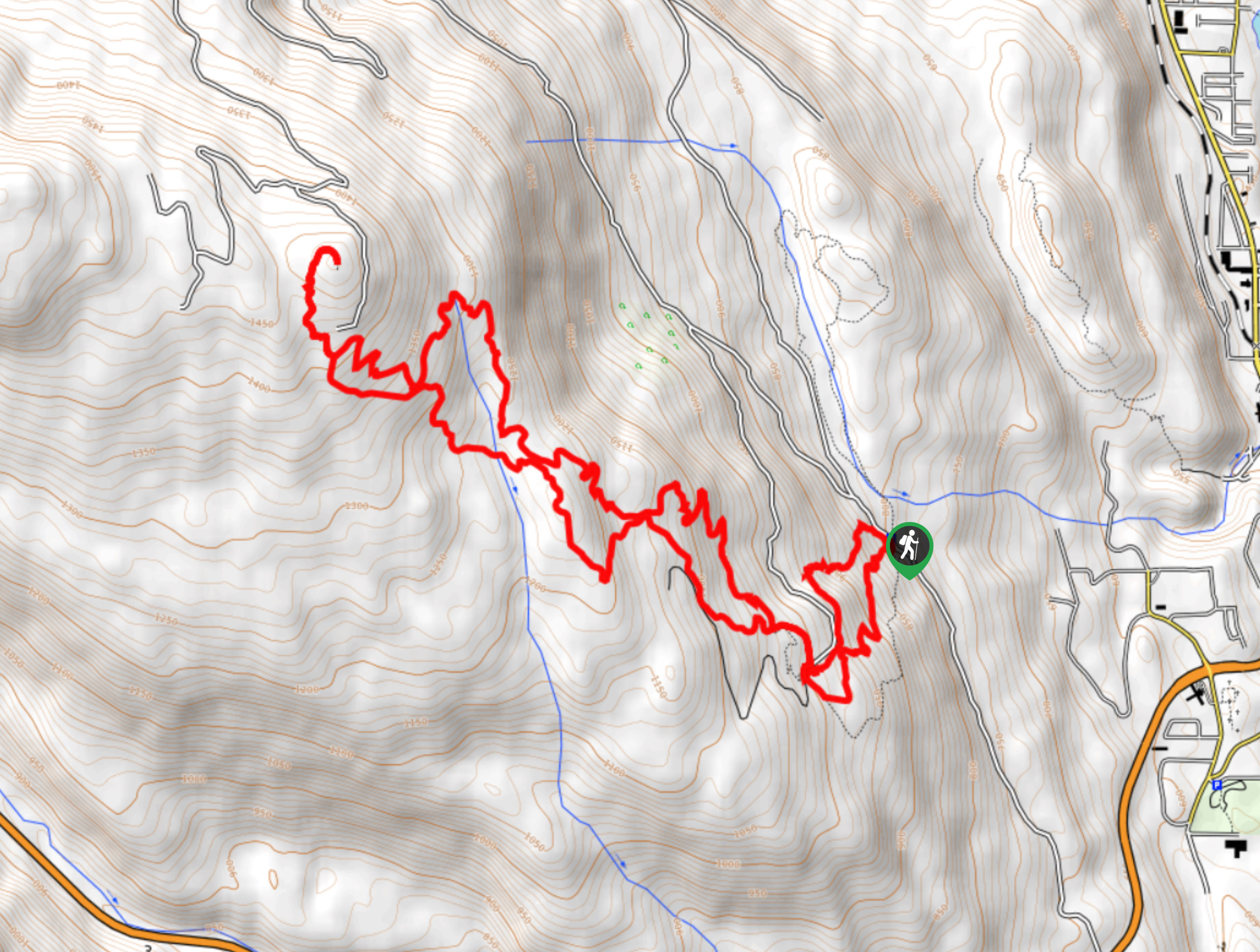
The Merry Loop Trail is a 8.7mi circuit hiking route that utilizes a multi-use trail through a beautiful…

Mount Roberts Trail
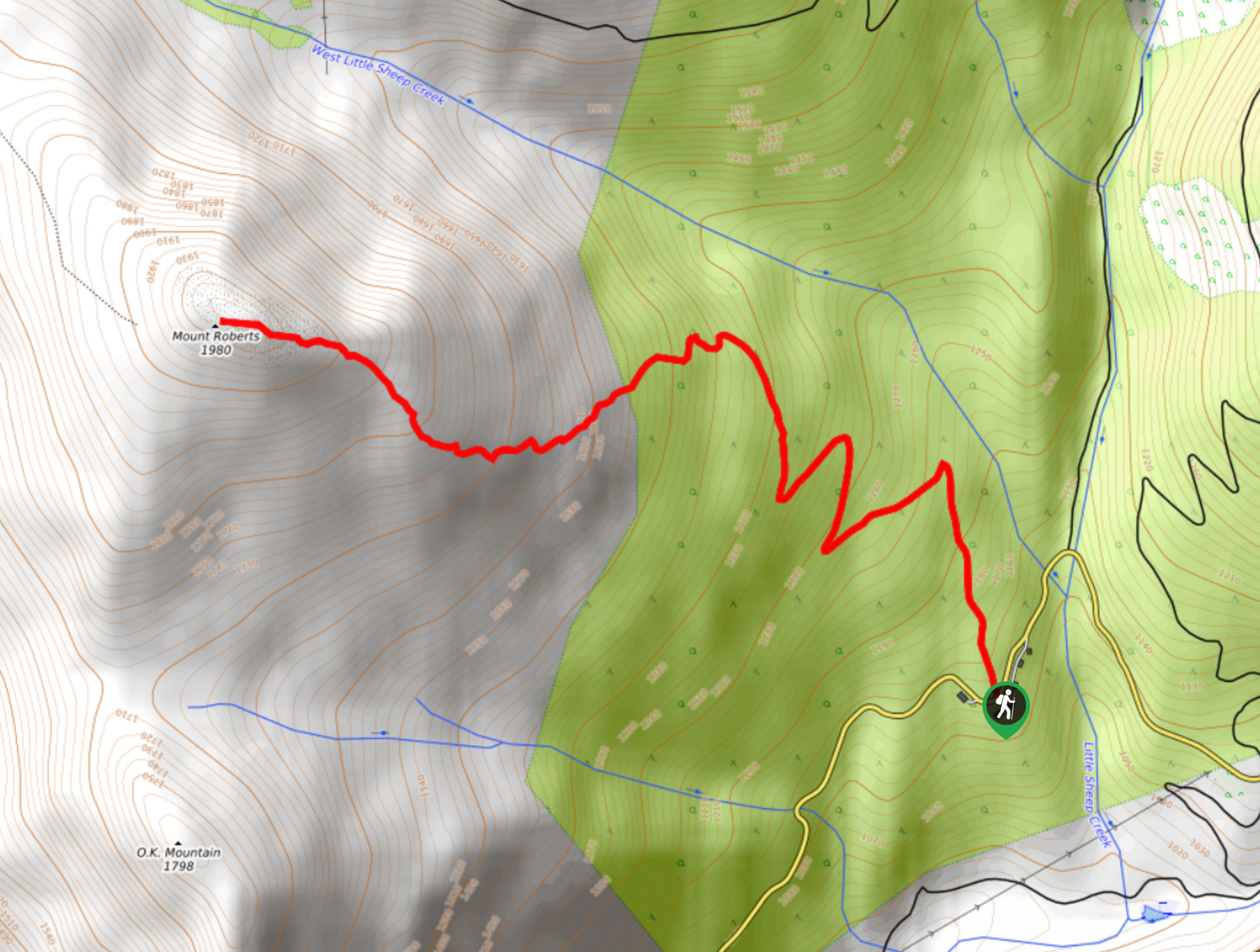
The hike up Mount Roberts follows a rugged 4.6mi out-and-back trail that will take you up the mountain…


Comments