

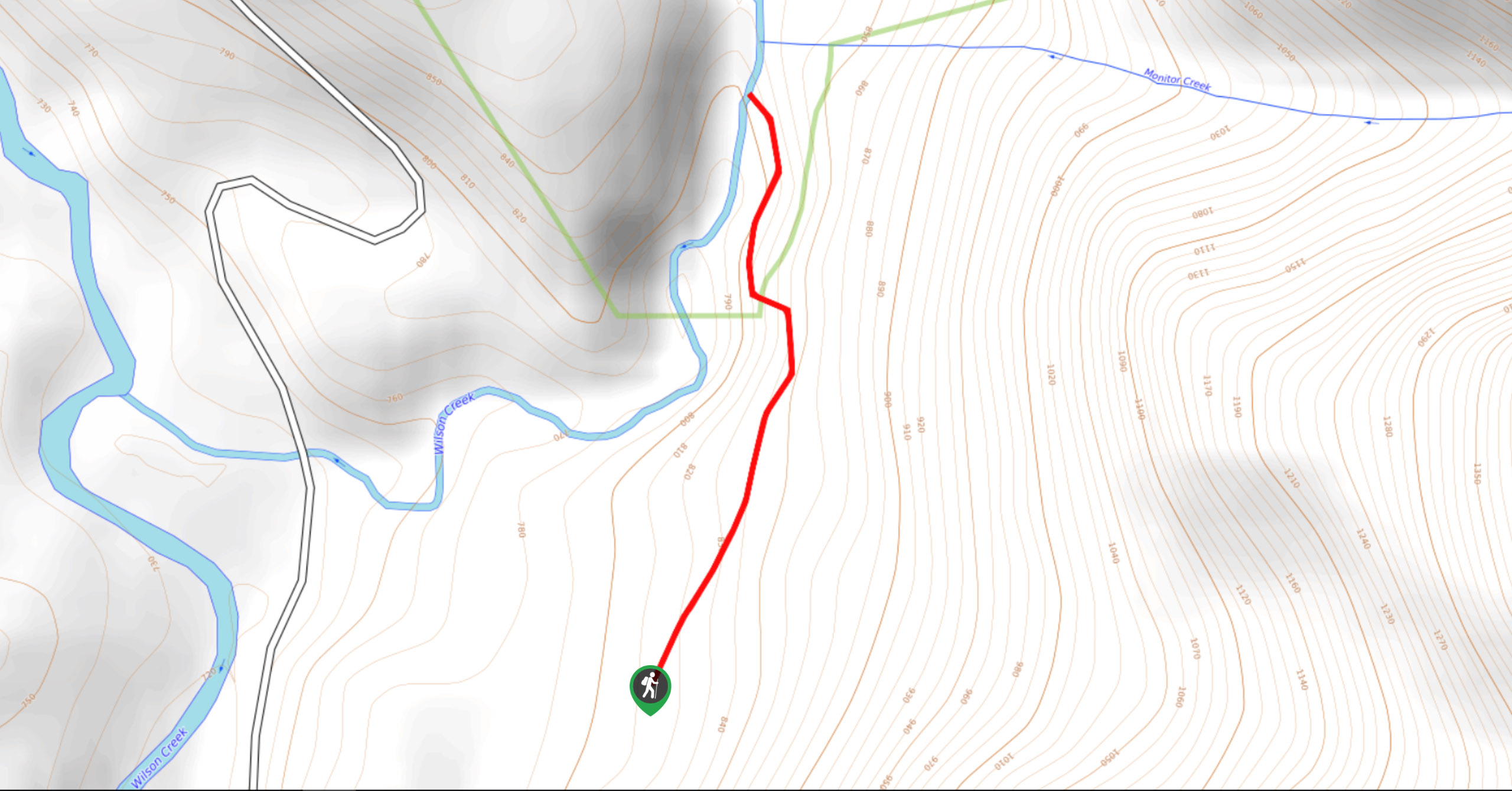
Wilson Creek Falls Trail
View PhotosWilson Creek Falls Trail
Difficulty Rating:
The Wilson Creek Falls Trail is a 1.8mi out-and-back route in Goat Range Provincial Park that travels along a heavily wooded path to arrive at the majestic water of the falls. Once you reach the end of the trail, you will have an amazing view of the powerful and impressive waterfall, as the water gushes over the rugged rock formation. Be careful if traversing this trail with children, as there are a few steep sections that are manageable if you take your time.
Getting there
To reach the Wilson Creek Falls Trail from New Denver, head north on BC-6 for 3.2mi and turn right on Wilson Creek Road. After 7.2mi, turn right and you will reach the trailhead in 2297ft.
About
| When to do | May-October |
| Backcountry Campsites | No |
| Pets allowed | Yes - On Leash |
| Family friendly | Yes |
| Route Signage | Average |
| Crowd Levels | Moderate |
| Route Type | Out and back |
Wilson Creek Falls Trail
Elevation Graph
Weather
Wilson Creek Falls Trail Description
The Wilson Creek Falls Trail is a hidden gem of a hike in the West Kootenay region that will take you through a beautiful stretch of densely populated forest on the way to the rushing waters of Wilson Creek Falls. While the trail may not be very long, it offers prime views and the chance to cool off in the mist of the waterfall on a hot day.
Heading out on the trail, follow it north through the forest on a route that will eventually run parallel to Wilson Creek. The trail has some steep sections, as well as rocky/root-covered portions, where you will need to be a bit adventurous and climb over/under trees to reach the creek. If you are travelling with children, keep them within close distance and take your time along the trail. Reaching the water’s edge, you will have an amazing picture of the rugged waterfall and the torrents of water that continuously flow over its rocky edge. Take some time to relax in this serene location before heading back along the same route.
Similar hikes to the Wilson Creek Falls Trail hike
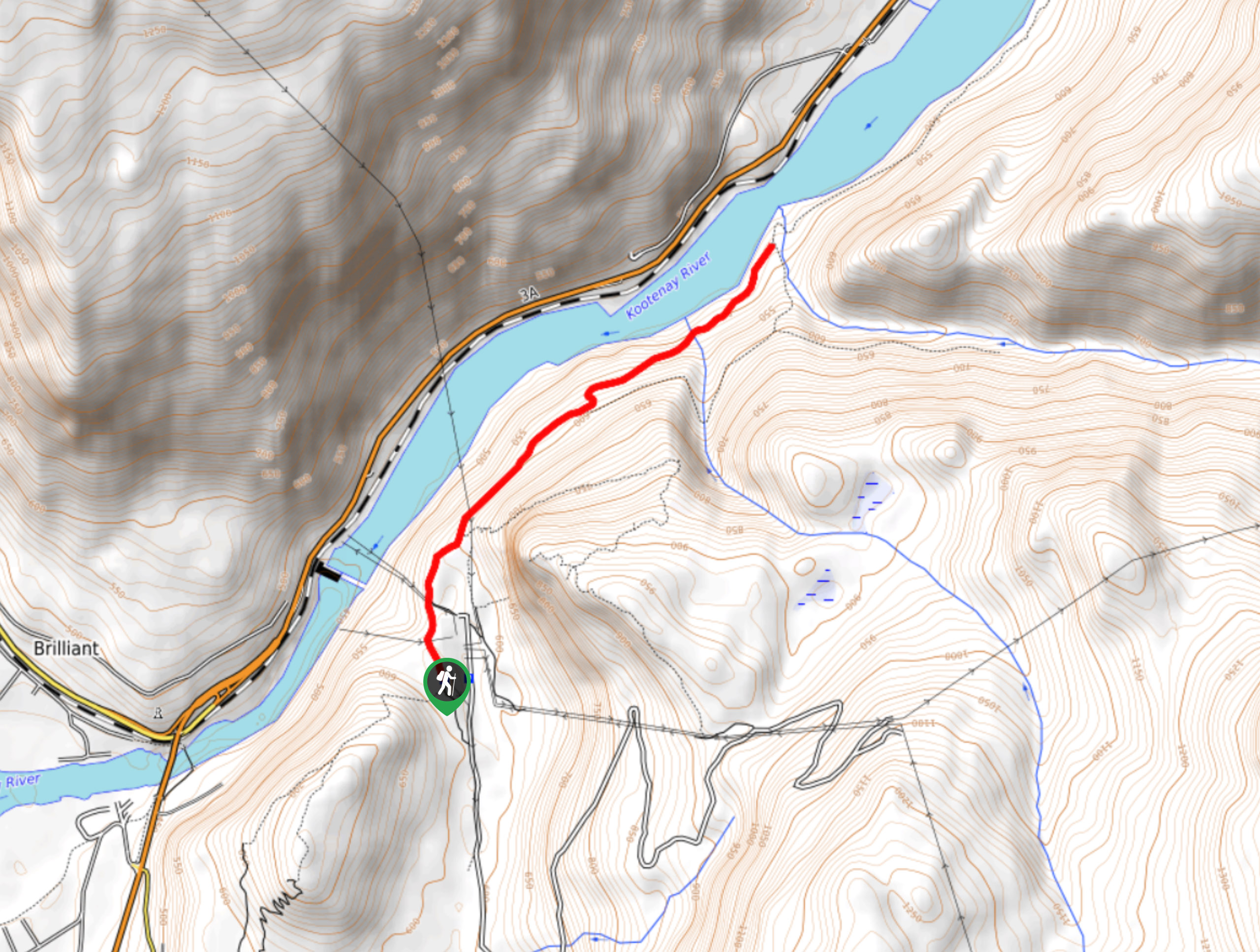
McPhee Waterfalls Hike
The McPhee Waterfalls Hike is a 3.5mi out-and-back hiking route near Castlegar, BC, that will take you along…
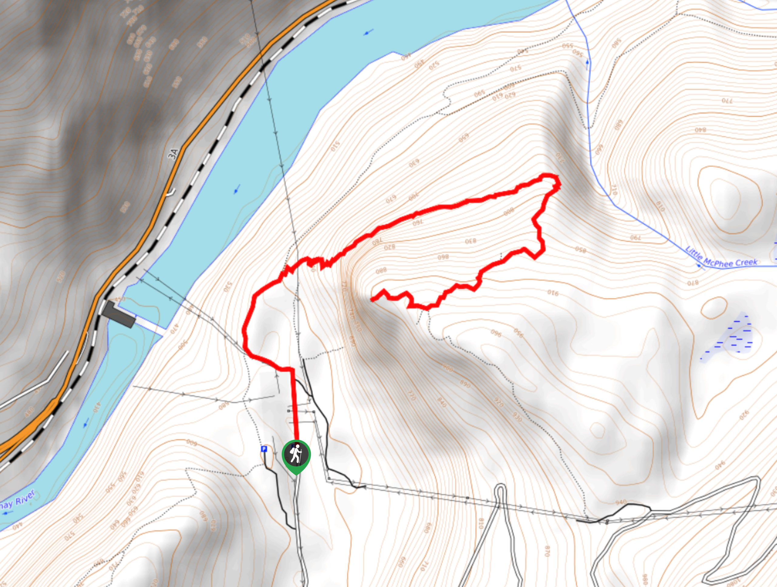
Brilliant Overlook Hike
The hike to Brilliant Overlook is a 3.7mi out-and-back trail in Castlegar, BC, that works through the forest…
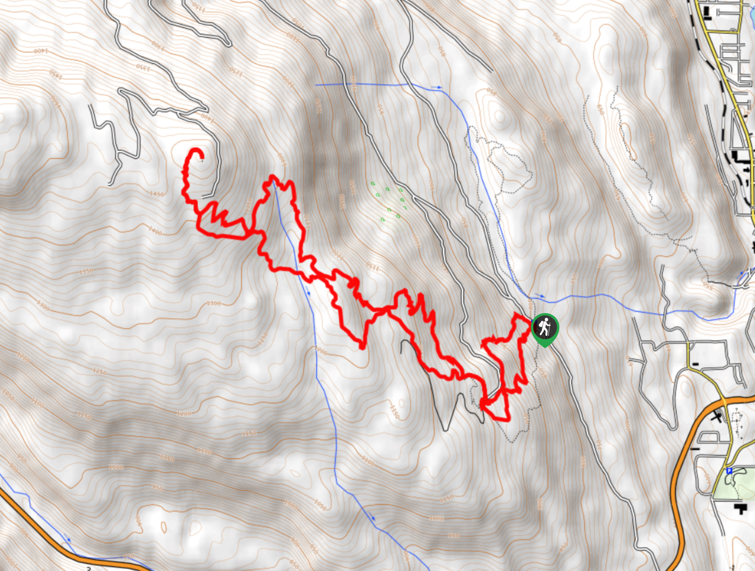
Merry Loop
The Merry Loop Trail is a 8.7mi circuit hiking route that utilizes a multi-use trail through a beautiful…


KKuharic 4 years ago
Spectacular waterfalls!! Best time to visit is in the Spring to see the full effect of the snow melt.