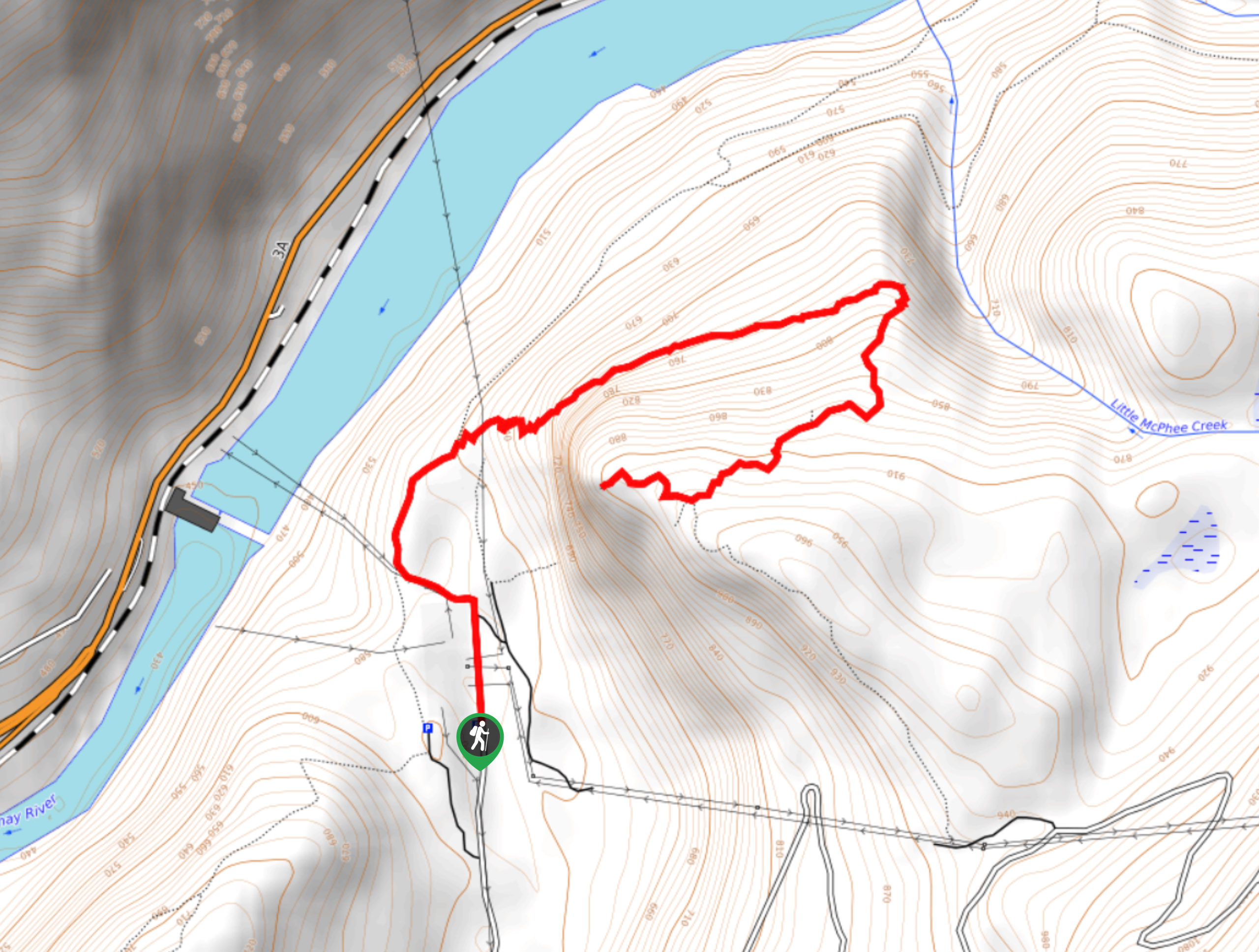
Slocan-Evans Trail
View Photos
Slocan-Evans Trail
Difficulty Rating:
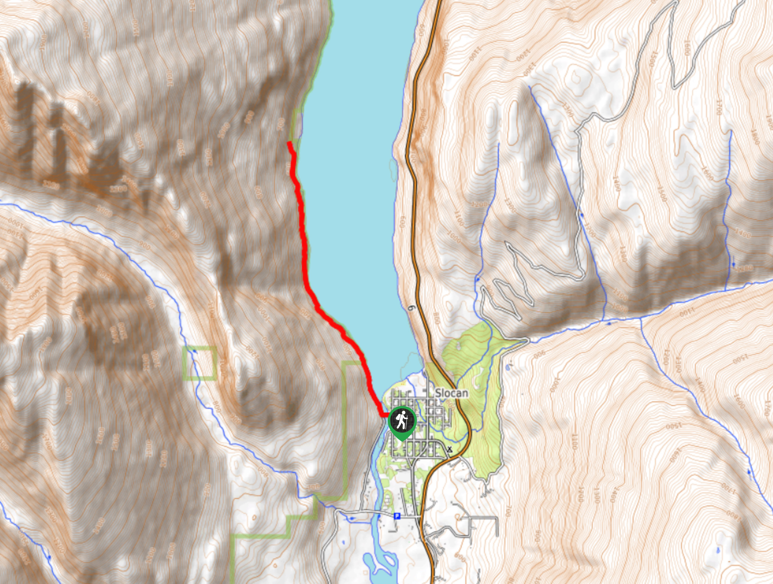
The Slocan-Evans Trail is an 5.1mi out-and-back hiking route that sets out from the town of Slocan and follows closely along the edge of Slocan Lake as it enters Valhalla Provincial Park. The trail is made up of easy-to-navigate forest terrain that provides hikers with numerous viewpoints from which they can look out over the picturesque waters of the lake. Wear proper hiking footwear and avoid this trail in wet weather, as there are several boulder fields along the route that can become extremely slippery when wet.
Getting there
To reach the trailhead for the Slocan-Evans Trail from the BC-6 highway in Slocan, exit the highway and turn onto Giffin Avenue, following it for 2297ft. Turn right onto Harold Street and after 1148ft, make a left at the third cross-street. Once you are on Park Avenue, continue on for 755ft to find the trailhead.

About
| When to do | May-November |
| Backcountry Campsites | No |
| Pets allowed | No |
| Family friendly | Older Children only |
| Route Signage | Average |
| Crowd Levels | Low |
| Route Type | Out and back |
Slocan-Evans Trail
Elevation Graph
Weather
Slocan-Evans Trail Description
Hiking the Slocan-Evans Trail is a fun day outdoors that will provide you with some truly beautiful views overlooking Slocan Lake and the scenic forests that can be found within Valhalla Provincial Park. The trail sets out from the town of Slocan and crosses over the Slocan River before following the road north for 1312ft. Here, the actual hiking trail will begin, as you leave the residential houses of the town behind and head into the beautiful lakeside forest.
When you enter the park and make your way down the trail, you will have access to a number of vantage points overlooking the lake that range from rocky outcrops to partially forested views. Across the water, you will be able to spot several mountains that frame the rugged landscape and tower over the blue water below. After working your way along the forested edge of the lake, you will eventually reach the end of this particular trail. Those looking to extend their hike can continue north to eventually arrive at a beach and the Evans Creek Campground.
Similar hikes to the Slocan-Evans Trail hike
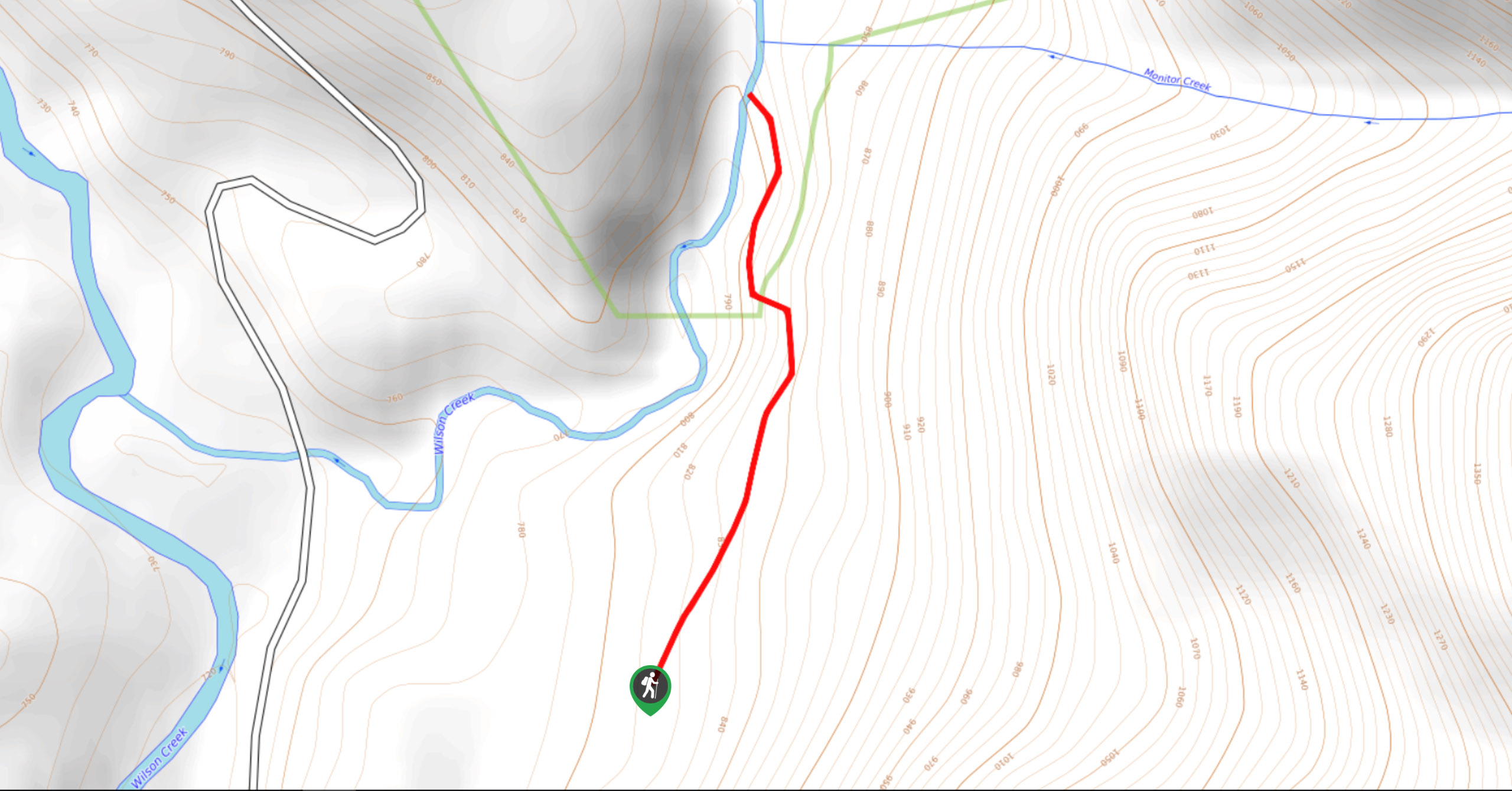
Wilson Creek Falls Trail
The Wilson Creek Falls Trail is a 1.8mi out-and-back route in Goat Range Provincial Park that travels along…
McPhee Waterfalls Hike
The McPhee Waterfalls Hike is a 3.5mi out-and-back hiking route near Castlegar, BC, that will take you along…
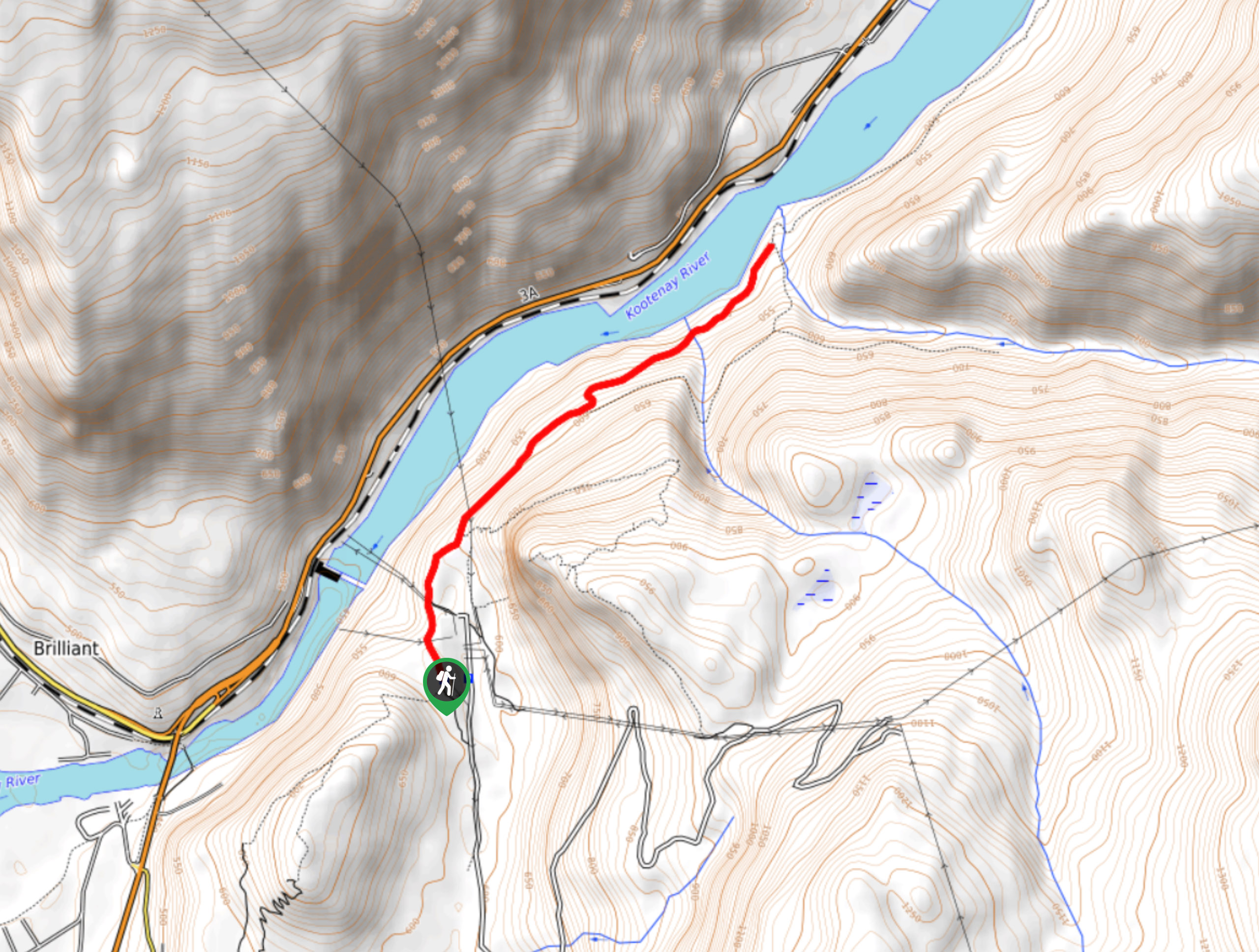
Brilliant Overlook Hike
The hike to Brilliant Overlook is a 3.7mi out-and-back trail in Castlegar, BC, that works through the forest…
Comments