
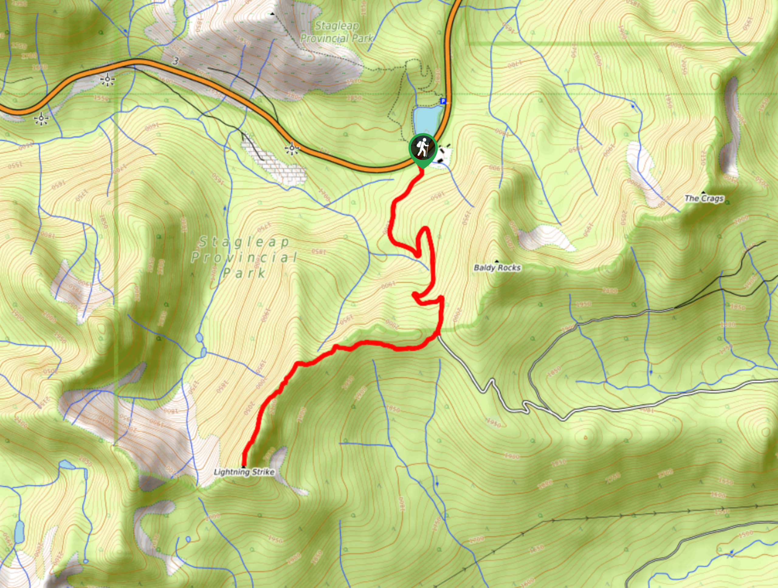
Ripple Ridge Trail
View Photos
Ripple Ridge Trail
Difficulty Rating:
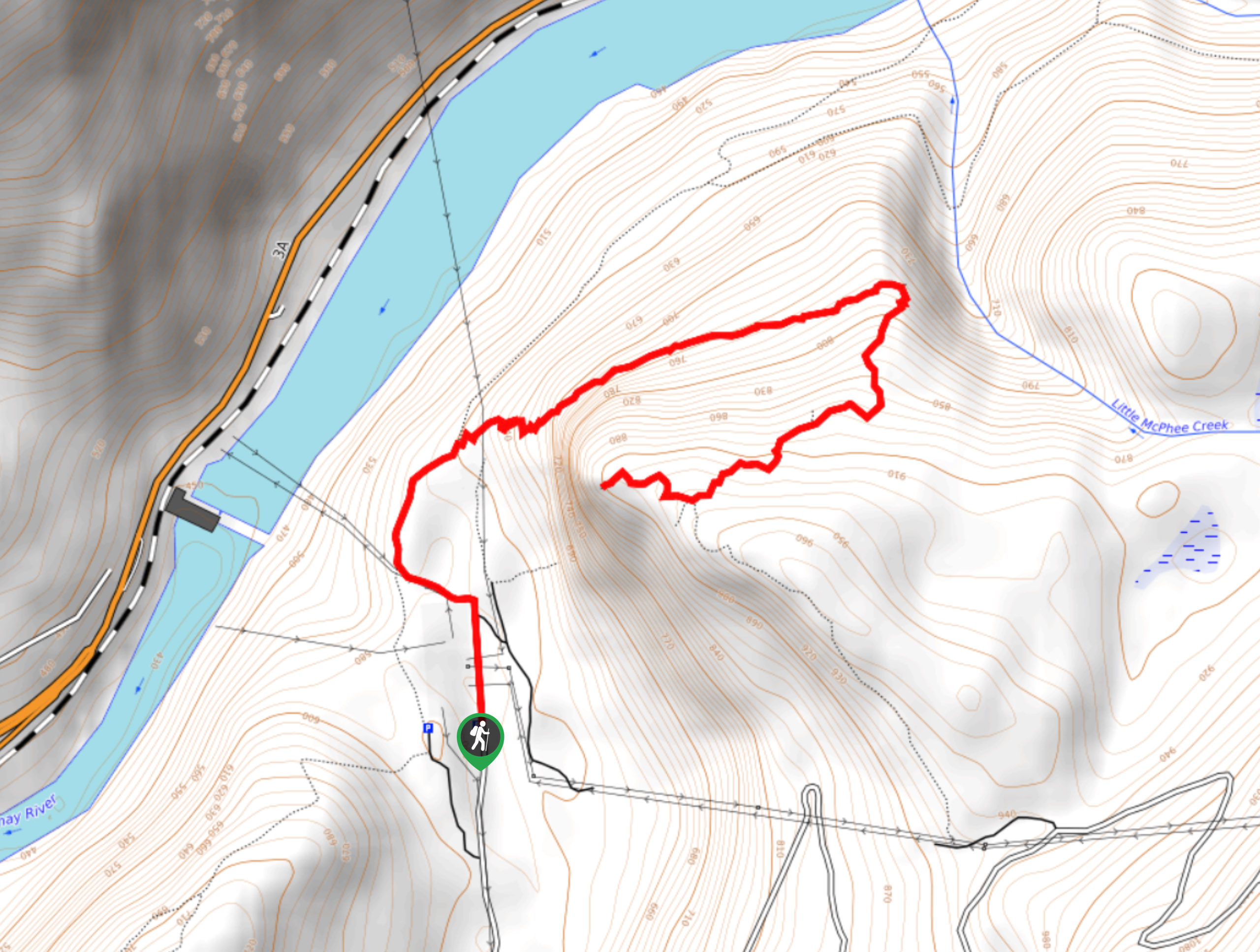
The Ripple Ridge Trail is a 6.3mi out-and-back hiking route in Stagleap Provincial Park that will take you from the edge of Bridal Lake to the top of Ripple Ridge. Along the trail, hikers will experience a beautiful forest setting, as well as panoramic views overlooking the park and the Canada-U.S. border. Keep an eye out for wildlife, as caribou and sheep are often spotted near the highway.
Getting there
To reach the parking area for the Ripple Ridge Trail from Creston, head west on BC-3 for 26.8mi, and you will find parking on the right.

About
| When to do | June-September |
| Backcountry Campsites | No |
| Pets allowed | Yes - On Leash |
| Family friendly | Older Children only |
| Route Signage | Average |
| Crowd Levels | Moderate |
| Route Type | Out and back |
Ripple Ridge Trail
Elevation Graph
Weather
Ripple Ridge Trail Description
The trail up to the top of Ripple Ridge offers an amazing hiking experience due to the spectacular mountain views and minimal effort required to access them. The trail sets out from the parking lot next to Bridal Lake and crosses over the highway to the south. From here, follow the forest service road for roughly 1.4mi and take the trail to the west that will take you up the ridge.
Making your way along the rugged ridge, you will notice that the tree cover will begin to thin out and you will start to traverse some rockier terrain. As the route heads south along this more exposed section of trail, you will eventually reach the viewpoint at the summit of Lightning Strike. Take some time to enjoy the breathtaking 360° views that stretch across Stagleap Provincial Park to the north and the Canada-United States border to the south before heading back down the trail to return to the parking lot.
Similar hikes to the Ripple Ridge Trail hike
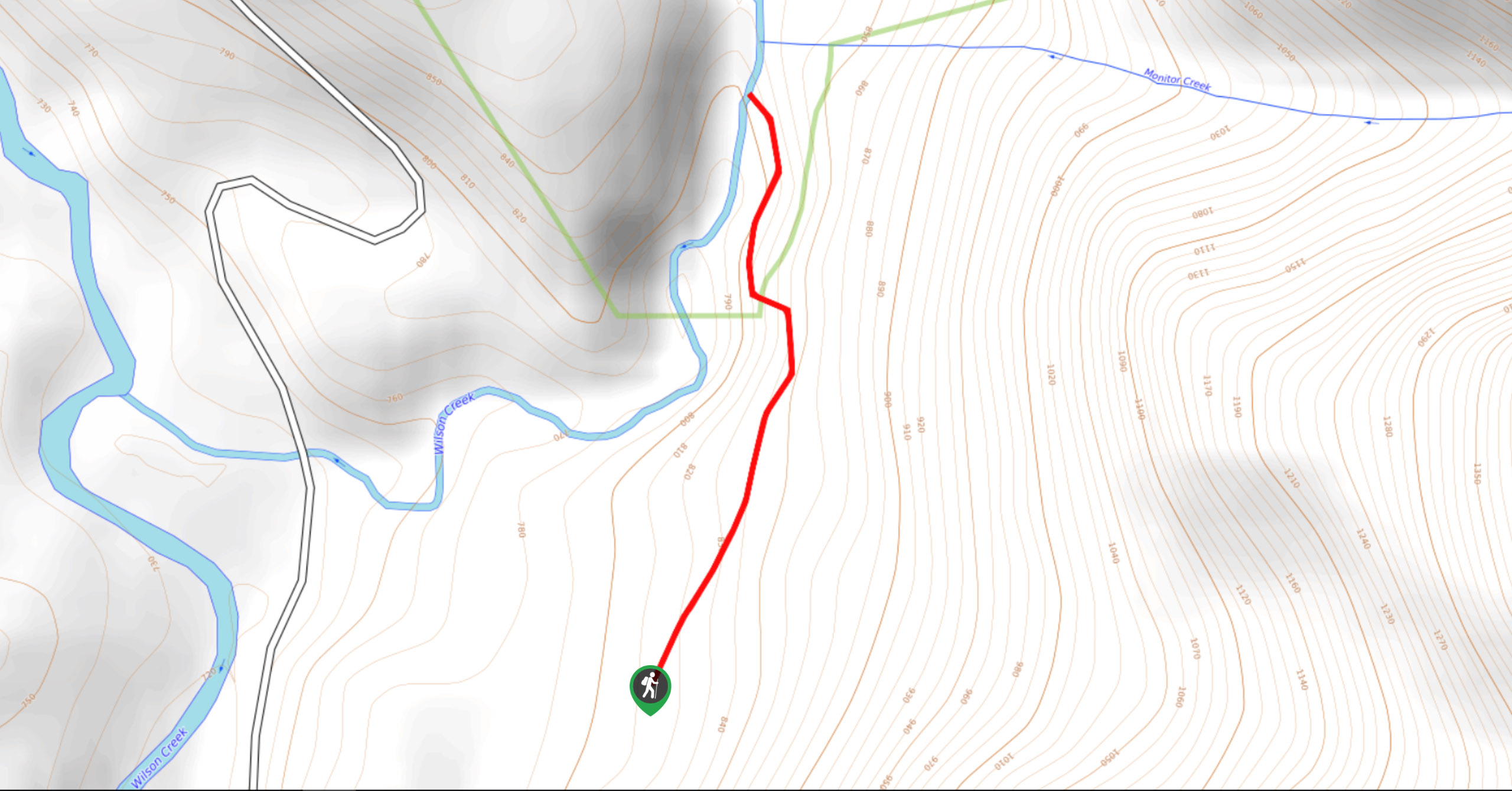
Wilson Creek Falls Trail
The Wilson Creek Falls Trail is a 1.8mi out-and-back route in Goat Range Provincial Park that travels along…
McPhee Waterfalls Hike
The McPhee Waterfalls Hike is a 3.5mi out-and-back hiking route near Castlegar, BC, that will take you along…
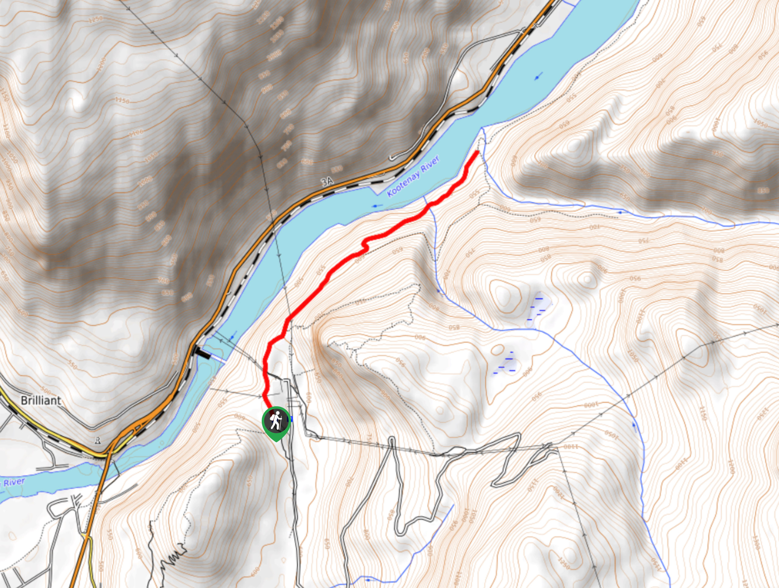
Brilliant Overlook Hike
The hike to Brilliant Overlook is a 3.7mi out-and-back trail in Castlegar, BC, that works through the forest…
Comments