


Pulpit Rock & the Flagpole hike
View PhotosPulpit Rock & the Flagpole hike
Difficulty Rating:
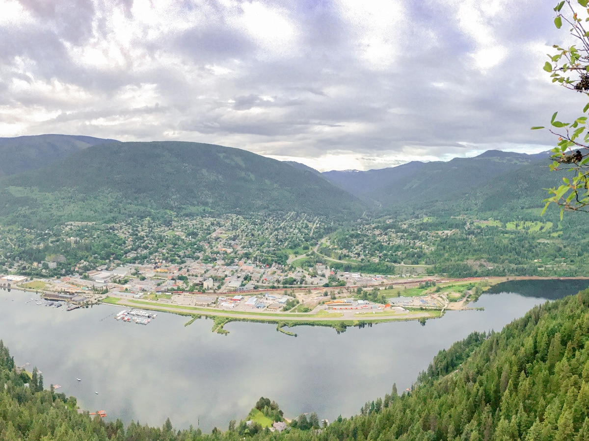
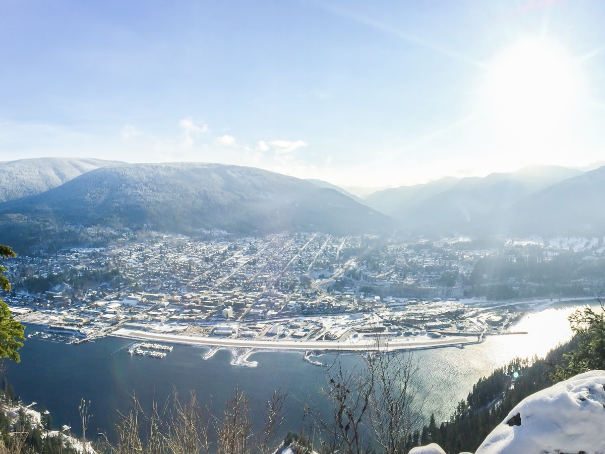
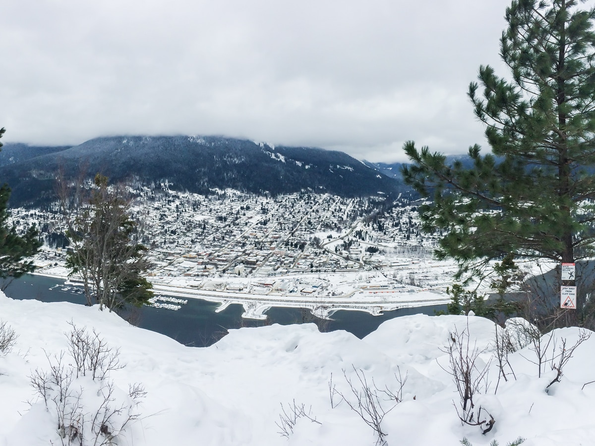
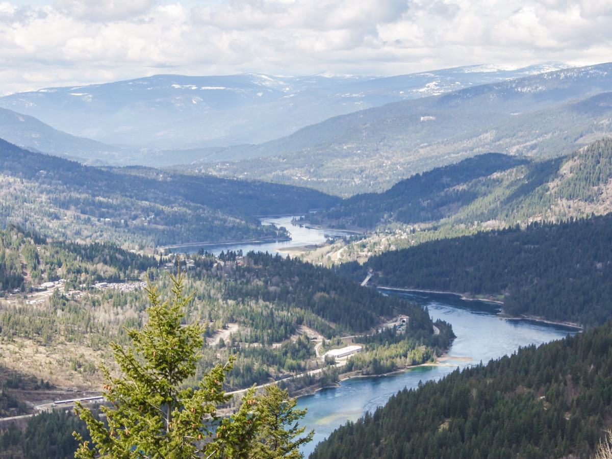
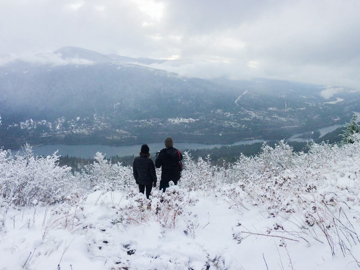
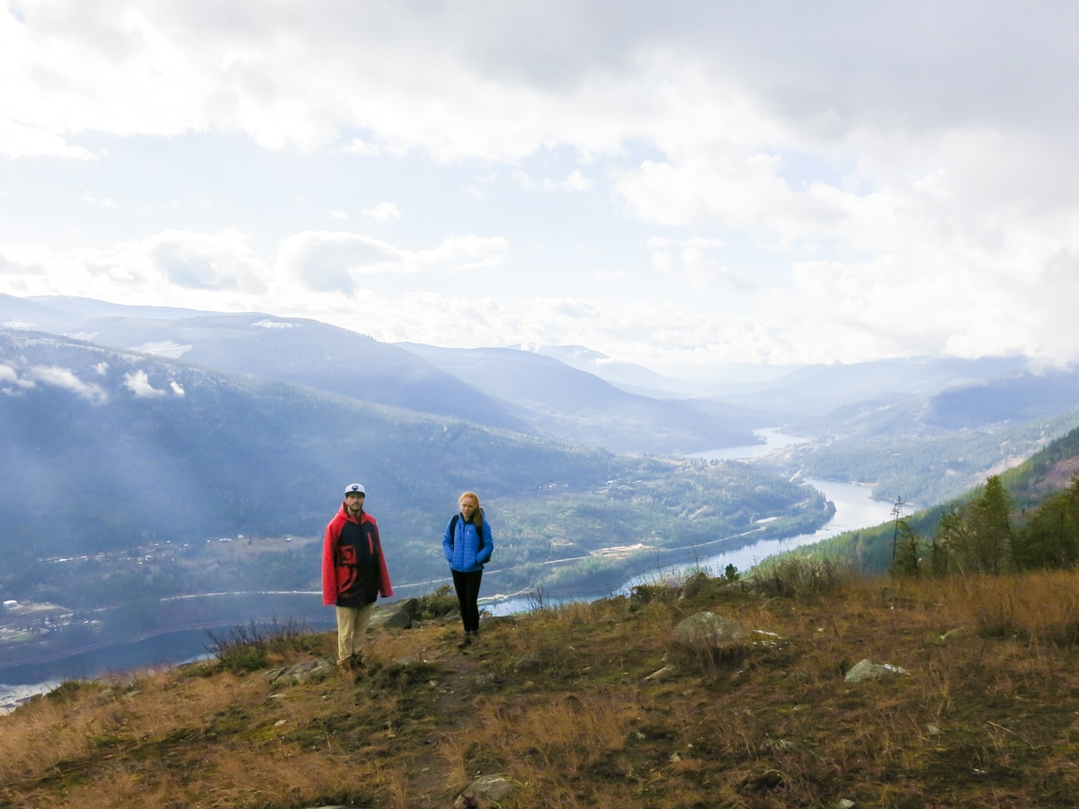
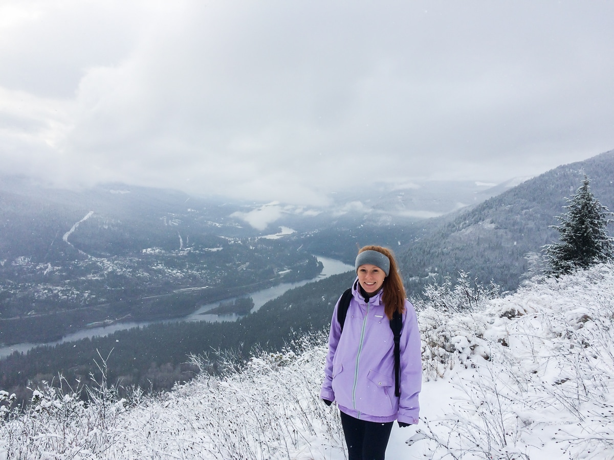
The Pulpit Rock hike, and the optional extension to the Flagpole, is a great hike when staying in Nelson. Getting to Pulpit Rock is an easy hike, however, the extra elevation to get to the Flagpole make this an intermediate hike. Pulpit rock offers a beautiful panoramic view of the town of Nelson and west arm of Kootenay Lake. If you make the extra trip to Flagpole you can see down the river towards Castlegar. Perfect for an afternoon trip all year round!
Getting there
Getting to the Pulpit Rock Trailhead is easy. From downtown Nelson head over the big orange bridge. Take a left onto Johnstone Road and continue for 1.6mi until you see a parking lot and Pulpit Rock Hike sign on the right hand side.
About
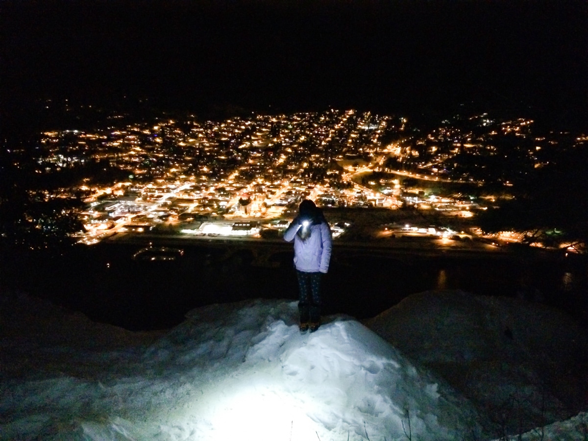
| When to do | All year round (to pulpit rock), bring spikes and head lamps in winter |
| Backcountry Campsites | No |
| Pets allowed | Yes |
| Family friendly | Yes |
| Route Signage | Average |
| Crowd Levels | High |
| Route Type | Out and back |
Pulpit Rock & the Flagpole
Elevation Graph
Weather
Route Description for Pulpit Rock & the Flagpole
The Pulpit Rock trailhead and paved parking area can be busy any time of day and any time of year, so there is an overflow parking area if you turn around and head back to the first corner. Do not park on the road.
This Pulpit Rock trail is family friendly, well signed, and easy to follow. It is a beautiful way to see the picture perfect town of Nelson, B.C. from above, and gain a perspective for the never ending mountain ranges that surround it.
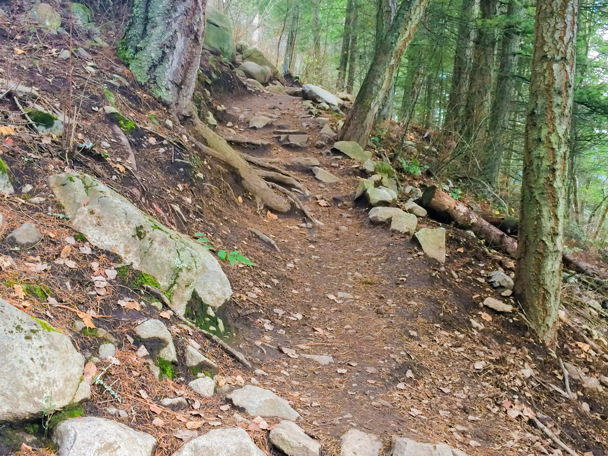
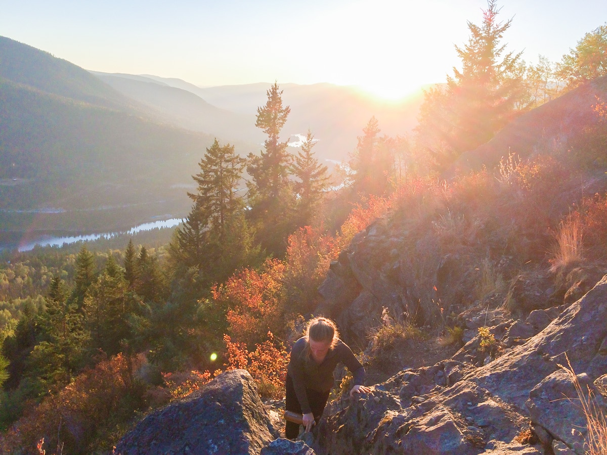
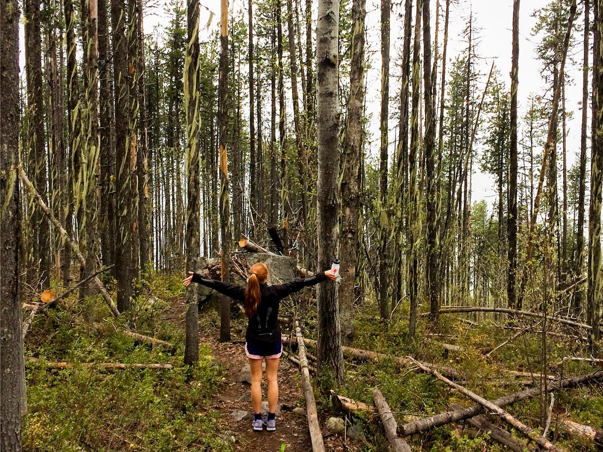
The entire trail to Pulpit Rock winds upwards through a series of switchbacks in the forest, occasionally offering views of the town of Nelson. Just before you reach the top at around 1.0mi the trail breaks in two for an “easy” route and a “more difficult” route. The more difficult route has one section of steep rocks, but is not too hard. If you have difficulty climbing over rocks then please take the easy route! The return distance to Pulpit Rock is 2.2mi and you gain 1115ft of elevation.
Once you reach Pulpit Rock you will see a sign on your right pointing upwards to Flagpole. Go left here and enjoy the views before continuing on, or end your hike here and head back down to town. Going on to the Flagpole adds another 722ft of elevation gain and 1.3mi round trip distance.
If you continue up to the Flagpole there are options for easier and harder routes which are well signed. If you are a capable hiker, take the difficult way up and the easy way down, it offers some variety of views and is nicer on the knees as you descend. The more difficult section has some scrambly bits while the easier path is more switchbacks.
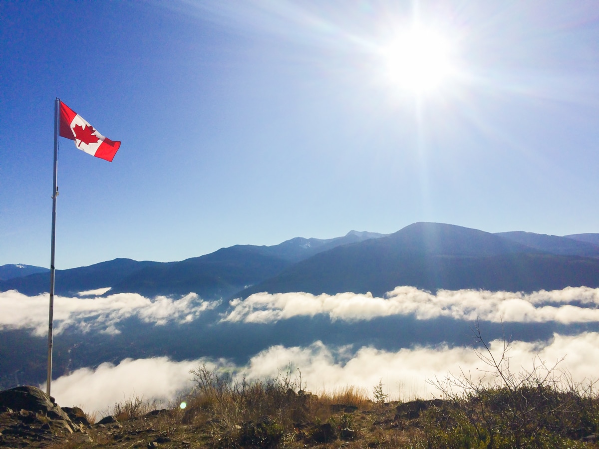
Once you get to the Flagpole, you’ll understand the meaning of the name. There is a Canadian flag there. From here, the views of the Kootenay River and surrounding mountains are spectacular.
There is a trail that continues upwards to the CBC Tower, however, most people are happy going from the Flagpole. Return to your car the same way you came up. The switchbacks make the descent longer, but much easier on your knees.
Insider Hints
The Pulpit Rock hike is great for a workout or family trip. Pets are allowed off leash.
It is easy to bike to from Nelson to the Pulpit Rock Trailhead. There is even a bike rack to lock up your bike.
Please donate $1 into the box to help the Pulpit Rock Volunteers who maintain this trail.
Hiking up for sunrise is beautiful as you can see the sun rising over the mountains in the east (in summer this would mean hiking up around 5.30 a.m.).
There are plenty of great accommodations and food options in Nelson to check out after your hike. It’s a great base for a longer trip, with lots to do and good access.
You can rent kayaks and paddle boards for less than $15 at lakeside park (on the town side of the big orange bridge).
Similar hikes to the Pulpit Rock & the Flagpole hike
Wilson Creek Falls Trail
The Wilson Creek Falls Trail is a 1.8mi out-and-back route in Goat Range Provincial Park that travels along…
McPhee Waterfalls Hike
The McPhee Waterfalls Hike is a 3.5mi out-and-back hiking route near Castlegar, BC, that will take you along…
Brilliant Overlook Hike
The hike to Brilliant Overlook is a 3.7mi out-and-back trail in Castlegar, BC, that works through the forest…


YukihiroSato 5 years ago
Watching the sunrise here is the best!
Glori S. 5 years ago
Really impressive! Once you reach Pulpit rock, you'll have an incredible view of Nelson and the surrounding area. It's really fantastic!
isaacanderson 5 years ago
The hike was fairly easy, the paths were easy to follow as well. It was a pleasant experience.
Nathan R. 5 years ago
Moderately easy hike with remarkable views! For those more adventurous, the climb to the flagpole gives an even better view. Highly recommended.
KDarough 5 years ago
Great hike for all ages and skill levels! This trail climbs up the slope facing the City of Nelson, and is known locally as Elephant Mountain. Both Pulpit Rock and the Flagpole at the peak have amazing views of the city of Nelson and down the valleys. This hike is regularly frequented by locals and tourists, and can get busy in the summer and on weekends.
Tara Green 5 years ago
awesome hike with beautiful flowers and great views of Nelson
Nadeem Medulla 6 years ago
Well worth the effort to do and the views are stunning. Lots of fun and can be tackled by people with moderate fitness. In the winter it's quite slippery, so it's better to bring microspikes.
Noah Copper 6 years ago
This is a must-do for anyone visiting Nelson. It's not a long hike but it's definitely a workout. The view at the top is spectacular.
adayinahikerslife 6 years ago
simply beautiful...the top of the pulpit rock is breathtaking...it is relatively shorter that i expected...
candycane 6 years ago
We took the difficult way up, and we don't regret a thing. Not sure about others, but it was actually crazy good!