

Panther Lake Trail
View PhotosPanther Lake Trail
Difficulty Rating:
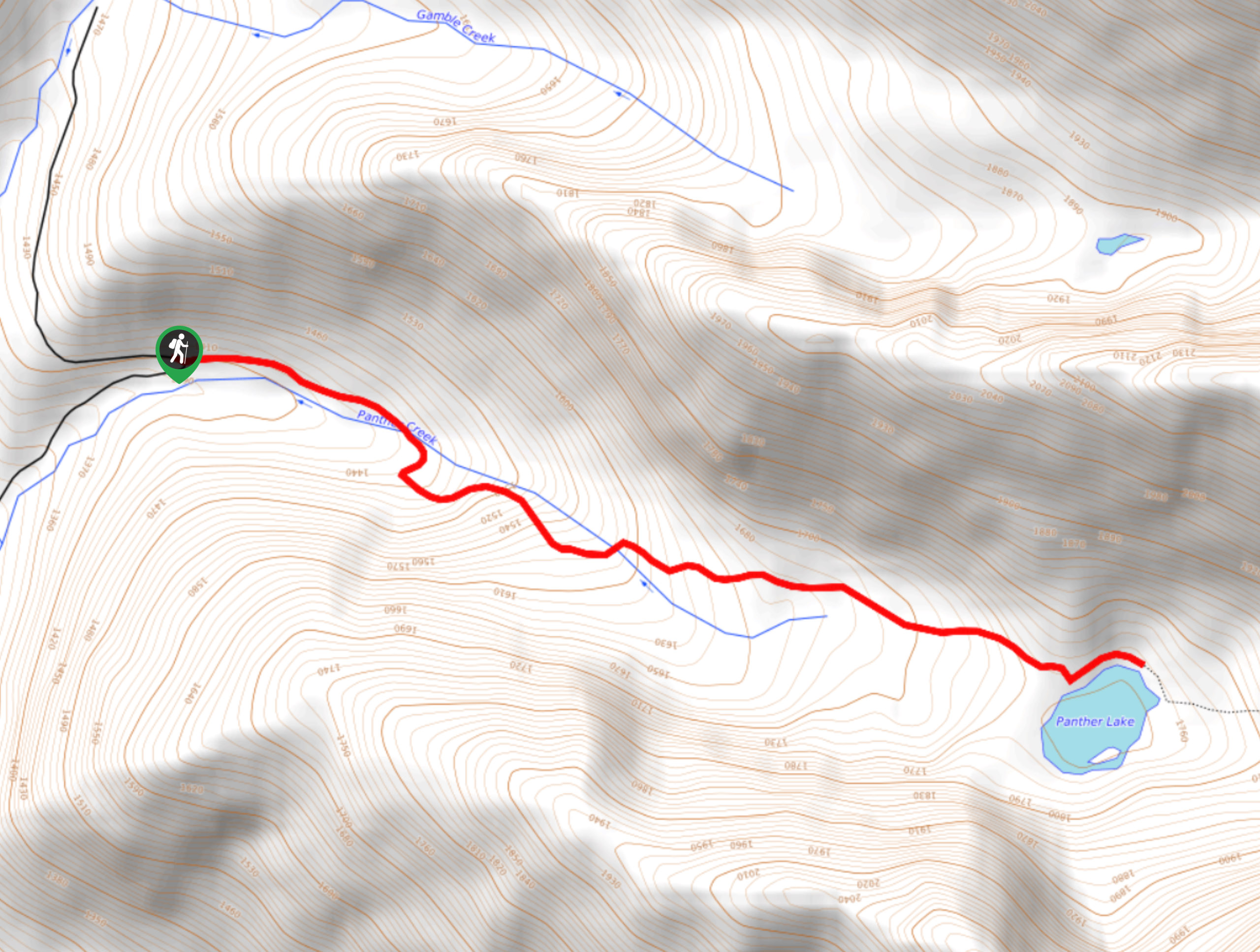
The Panther Lake Trail is a 3.9mi out-and-back hiking route near Salmo, BC, that will allow you to experience breathtaking scenery and gorgeous forests. The trail climbs uphill through amazing forests of hemlock before breaking into the subalpine for awesome views of the surrounding peaks. Make sure to complete the rugged drive in with a 4x4 vehicle; otherwise, you will need to walk the final 1.2mi.
Getting there
To get to the Panther Lake trailhead from Airport Road in Salmo, make a turn onto Sheep Creek Forest Service Road and reset your odometer, keeping straight through the main junctions along the road. Once you hit the 6.2mi mark, keep left at the junction. When you get to the 8.7mi mark, you should park and continue on foot if you have a 2WD vehicle. If you have a 4x4 vehicle, keep left and continue over the waterbars. At 9.3mi, keep right and cross the bridge, continuing for another 0.4mi. From here, continue on foot for 0.2mi to reach the trailhead.
About
| When to do | June-October |
| Backcountry Campsites | No |
| Pets allowed | Yes |
| Family friendly | Older Children only |
| Route Signage | Average |
| Crowd Levels | Low |
| Route Type | Out and back |
Panther Lake Trail
Elevation Graph
Weather
Panther Lake Trail Description
Although a treacherous drive into the trailhead, the Panther Lake Trail itself isn’t nearly so difficult. From the trailhead, the route will take you a bit further up the road before breaking off on a trail marked by route flags through the forest. You will soon cross over Panther Creek and continue through a beautiful forest of hemlock trees. After 1.0mi of hiking, you will again cross over Panther creek, this time with a few small waterfalls below, before continuing through the forest. Eventually, you will arrive at the picturesque edge of Panther Lake, complete with a campsite and the majestic Three Sisters Peak in front of you across the calm water. After exploring the area and taking in the sights, head back down the same route to return to the trailhead.
Similar hikes to the Panther Lake Trail hike
Wilson Creek Falls Trail
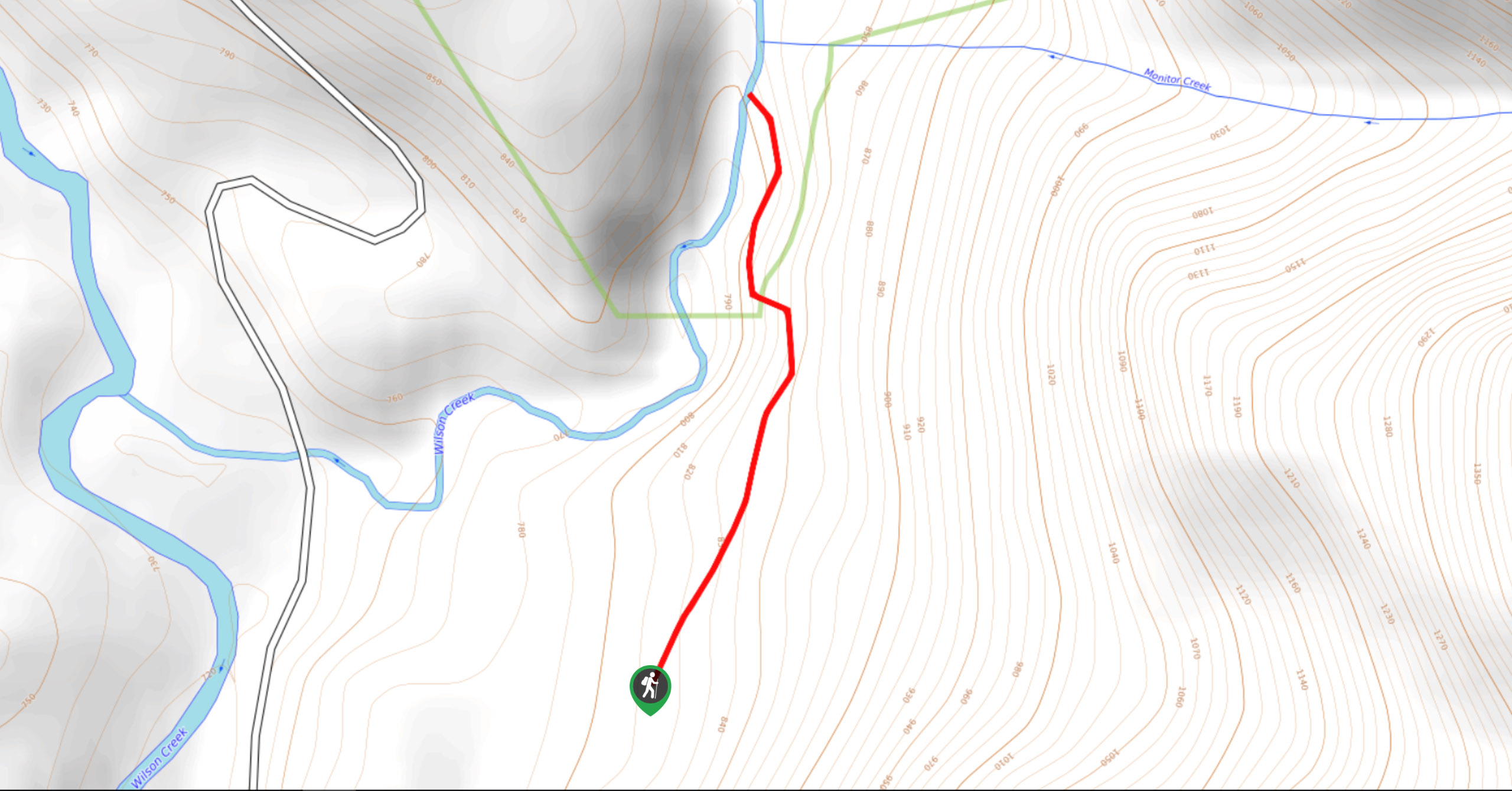
The Wilson Creek Falls Trail is a 1.8mi out-and-back route in Goat Range Provincial Park that travels along…
McPhee Waterfalls Hike
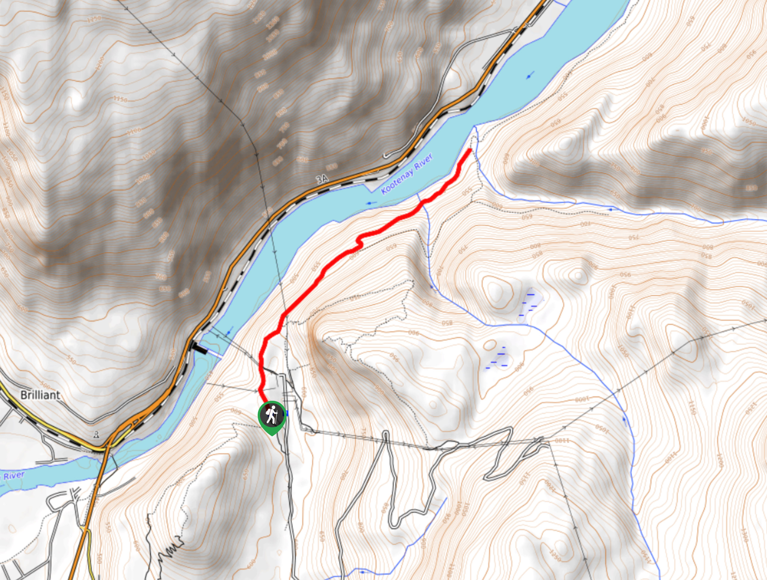
The McPhee Waterfalls Hike is a 3.5mi out-and-back hiking route near Castlegar, BC, that will take you along…
Brilliant Overlook Hike
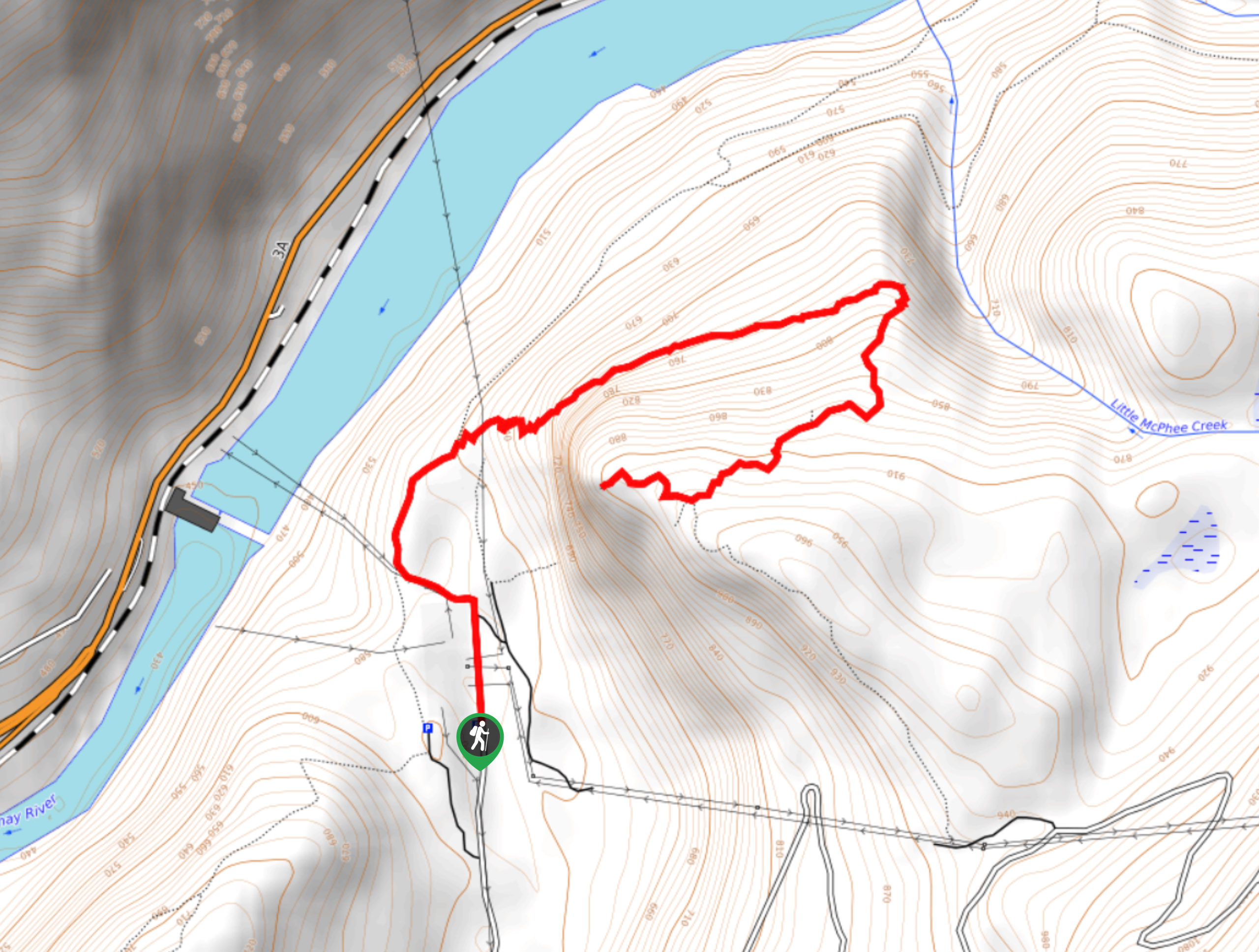
The hike to Brilliant Overlook is a 3.7mi out-and-back trail in Castlegar, BC, that works through the forest…



Comments