
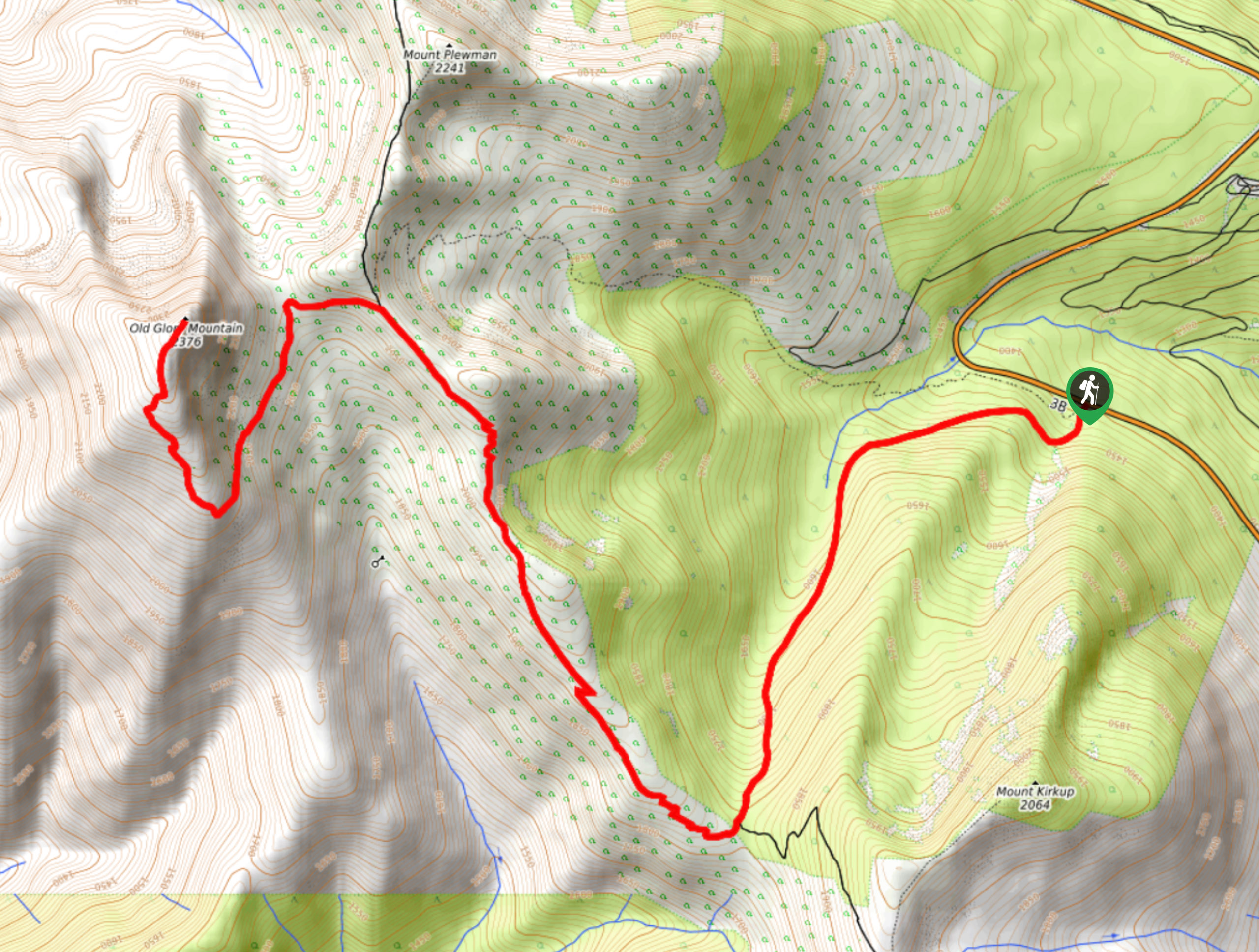
Old Glory Trail
View Photos
Old Glory Trail
Difficulty Rating:
The Old Glory Trail is a 11.8mi out-and-back hiking route in the Rossland Range Recreation Site that climbs uphill through the forest to visit the crash site of a RCAF B-25 Mitchell Bomber from 1947 and the summit of Old Glory Mountain. Along the trail, you can expect to hike through dense forests, over steep, rocky terrain, and witness amazing views from the rugged summit of the mountain. This is a great hike for those looking for a fun challenge, as well as anyone with historical interests.
Getting there
To reach the Old Glory Trail from Rossland, head east on BC-3B for 6.1mi and you will find the trail on the left.

About
| When to do | April-October |
| Backcountry Campsites | No |
| Pets allowed | Yes - On Leash |
| Family friendly | No |
| Route Signage | Average |
| Crowd Levels | Moderate |
| Route Type | Out and back |
Old Glory Trail
Elevation Graph
Weather
Old Glory Trail Description
Hiking the Old Glory Trail is a real leg burner of an experience that will take you up the mountainside to experience some pretty amazing views of the surrounding area. This hike passes through the crash site of a Royal Canadian Air Force plane that went down on October 17, 1947 due to poor weather conditions. Hikers will be able to spot large pieces of wreckage across the area, as well as a large metal cross that stands as a memorial to everyone that died on board.
The trail sets out from the side of the highway and initially passes through a dense stretch of forest, before climbing uphill and opening up into some more exposed terrain. After passing by the wreckage site, hikers will traverse the rugged ridgeline on the way to the summit of Old Glory Mountain. From here, you will have an amazing view over the surrounding peaks that include Mount Plewman and Mount Lepsoe to the north, as well as Mount Kirkup and Grey Mountain to the southeast. After taking in the panoramic views, head back down the trail to return to the trailhead.
Similar hikes to the Old Glory Trail hike
Brilliant Overlook Hike
The hike to Brilliant Overlook is a 3.7mi out-and-back trail in Castlegar, BC, that works through the forest…
Merry Loop
The Merry Loop Trail is a 8.7mi circuit hiking route that utilizes a multi-use trail through a beautiful…
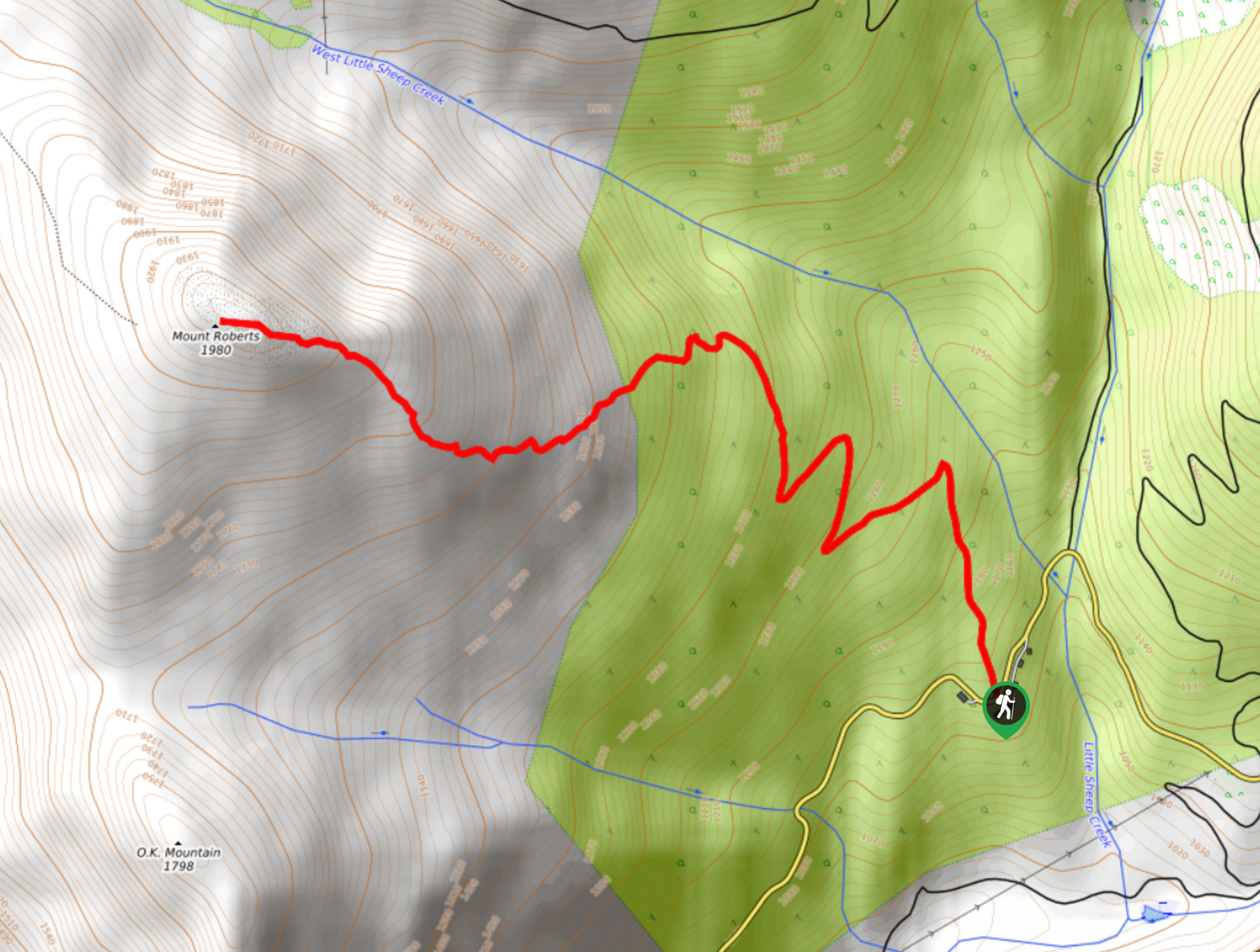
Mount Roberts Trail
The hike up Mount Roberts follows a rugged 4.6mi out-and-back trail that will take you up the mountain…
Comments