

Nancy Greene Lake Loop
View PhotosNancy Greene Lake Loop
Difficulty Rating:
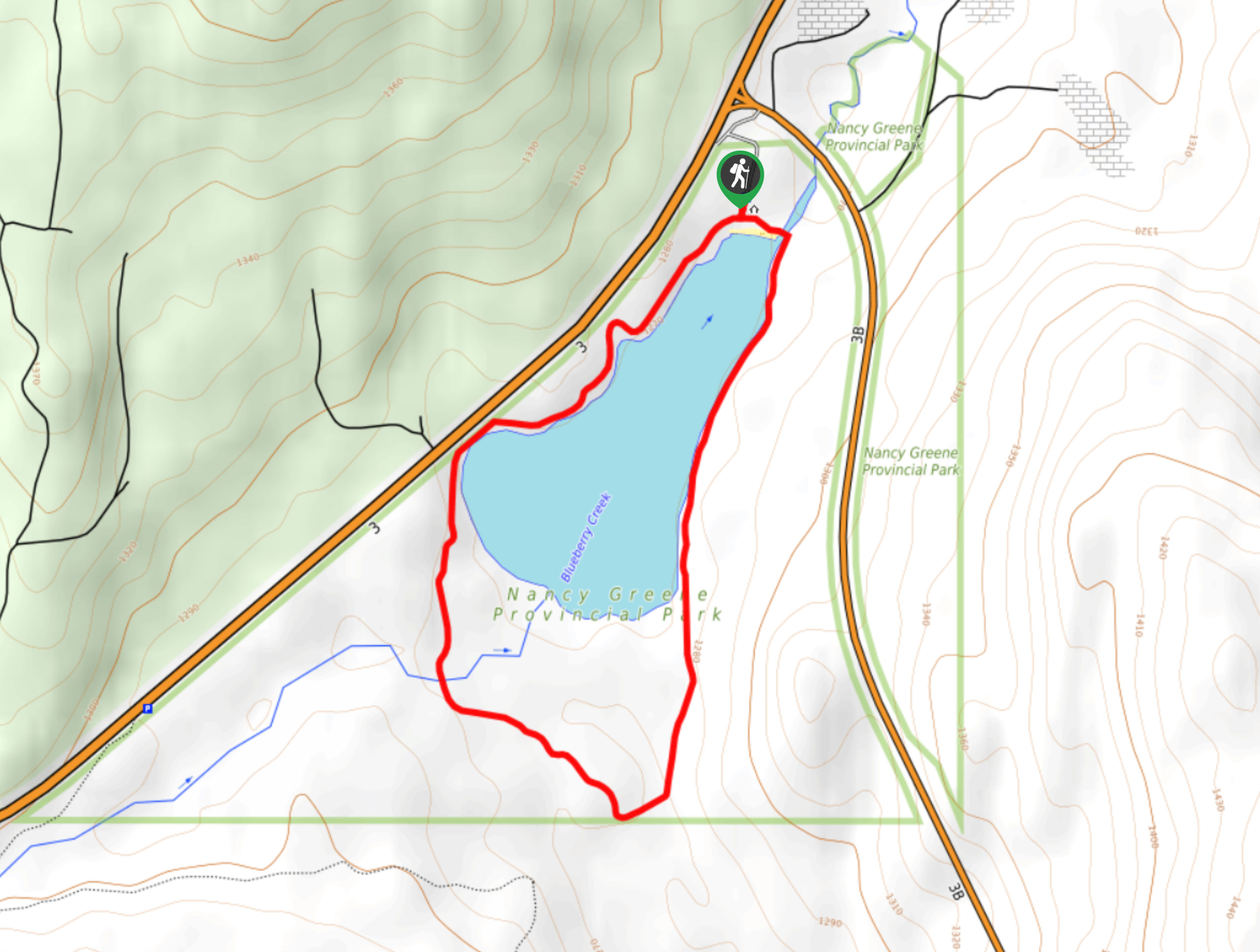
The Nancy Greene Lake Loop is a 2.5mi circuit hiking route in Nancy Greene Provincial Park that skirts around the tranquil shores of the lake and explores the surrounding forests. Along the trail, you will experience a peaceful woodland atmosphere and take in amazingly scenic views over the calm waters of the lake. With easy terrain and picturesque surroundings, this is a family-friendly hike that is perfect when combined with a weekend of camping.
Getting there
To reach the Nancy Greene Lake Loop from Castlegar, drive south on BC-3 for 15.9mi and turn left onto BC-3B. Make an immediate right and follow the road into the campground to find the trailhead.
About
| When to do | Year-Round |
| Backcountry Campsites | Nancy Green Campground |
| Pets allowed | Yes - On Leash |
| Family friendly | Yes |
| Route Signage | Average |
| Crowd Levels | Moderate |
| Route Type | Circuit |
Nancy Greene Lake Loop
Elevation Graph
Weather
Nancy Greene Lake Loop Description
The Nancy Greene Trail is a wonderfully scenic hiking route that is easy to navigate and the entire family will enjoy. The trail sets out from the Nancy Greene Campground and follows closely along the wooded shores of the lake in a clockwise direction. Minimal elevation gains and a short overall distance mean that this hike is perfectly suited for hikers of all skill levels. Working your way around the edge of the lake, you will experience the natural beauty of the surrounding forests and take in some amazing views overlooking the lake. Along the southwest portion of the trail, hikers will need to cross over Blueberry Creek before completing the final leg of the hike. Those looking for an additional bit of adventure should bring a canoe to paddle across the tranquil surface of the lake.
Similar hikes to the Nancy Greene Lake Loop hike
Wilson Creek Falls Trail
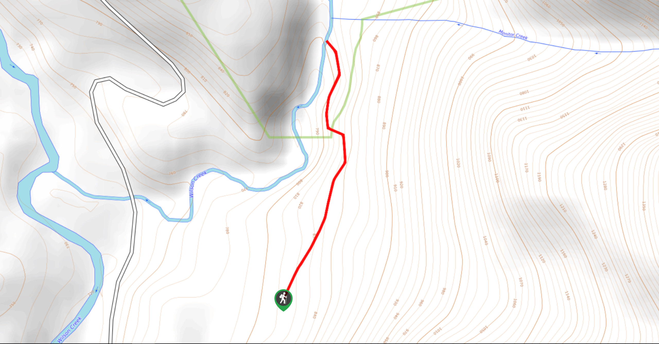
The Wilson Creek Falls Trail is a 1.8mi out-and-back route in Goat Range Provincial Park that travels along…
McPhee Waterfalls Hike
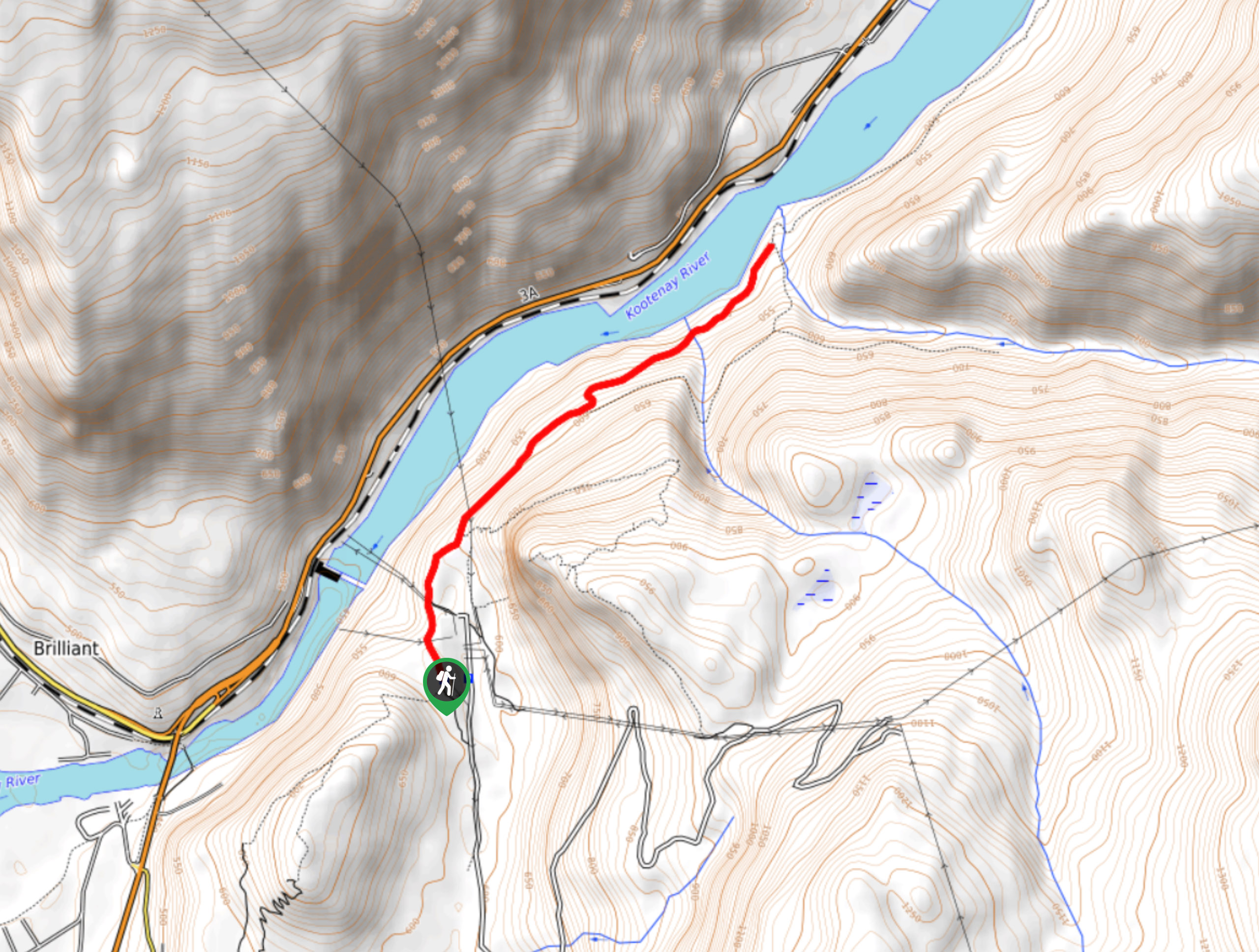
The McPhee Waterfalls Hike is a 3.5mi out-and-back hiking route near Castlegar, BC, that will take you along…
Brilliant Overlook Hike
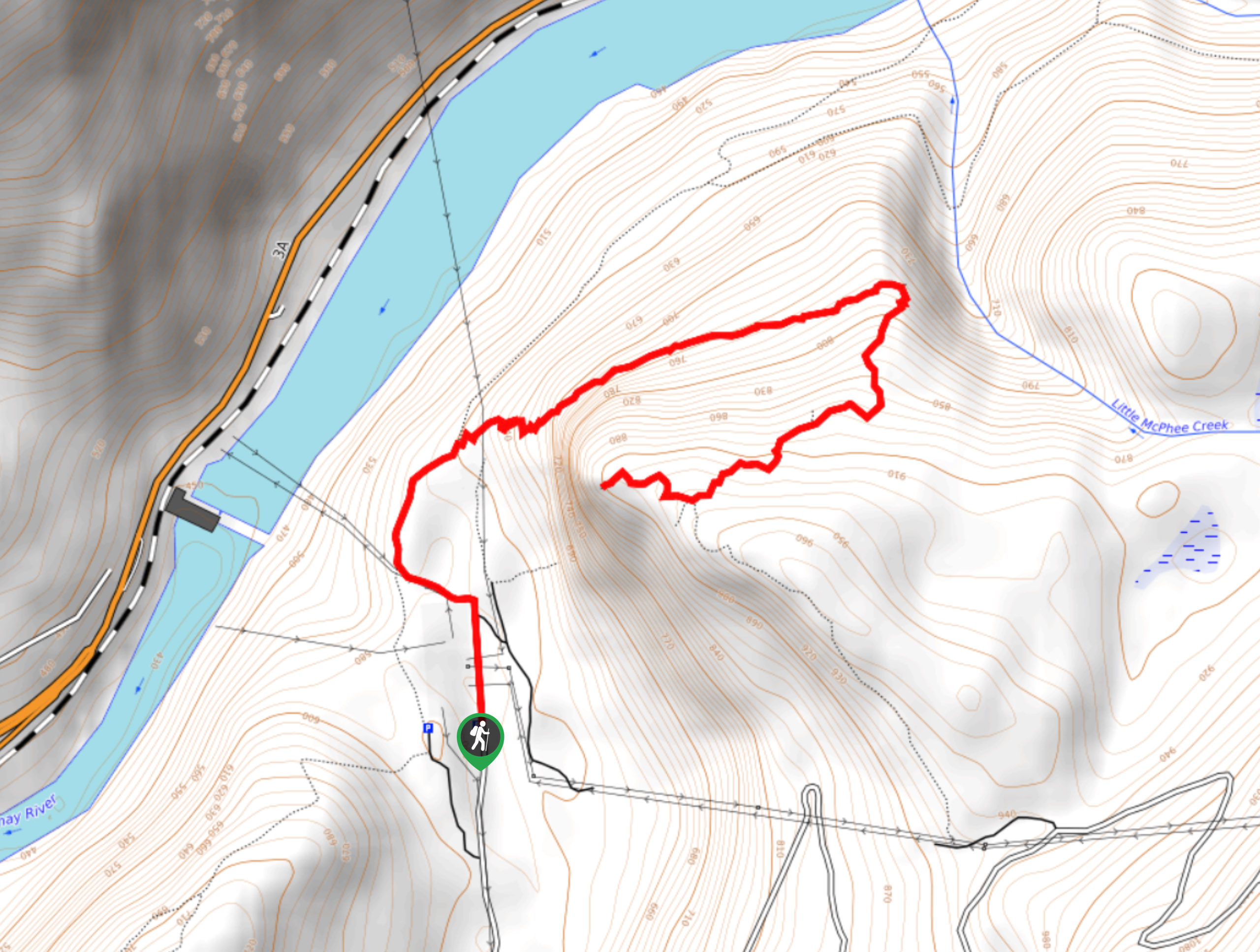
The hike to Brilliant Overlook is a 3.7mi out-and-back trail in Castlegar, BC, that works through the forest…



Comments