
Mount Roberts Trail
View Photos
Mount Roberts Trail
Difficulty Rating:
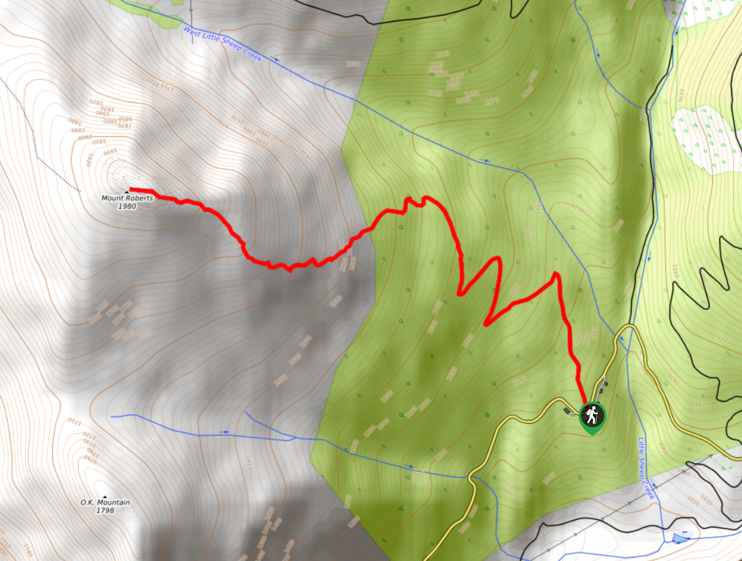
The hike up Mount Roberts follows a rugged 4.6mi out-and-back trail that will take you up the mountain for some spectacular sweeping views across the Rossland Mountain Range. The trail climbs uphill through the forest before breaking out into more steep, rocky, and technical terrain on the approach to the summit. Make sure to bring plenty of water in the summer months, as the upper portions of the trail are fairly exposed.
Getting there
To get to the Mount Roberts trailhead from Rossland, head west on Columbia Avenue for 0.8mi and turn left onto BC-22. After 1312ft, turn right on Old Rossland Cascade Highway and you will reach the trailhead in 1.0mi.

About
| When to do | May-November |
| Backcountry Campsites | No |
| Pets allowed | No |
| Family friendly | No |
| Route Signage | Poor |
| Crowd Levels | Moderate |
| Route Type | Out and back |
Mount Roberts Trail
Elevation Graph
Weather
Mount Roberts Trail Description
Hiking the Mount Roberts Trail is a fun way to experience some rugged climbing terrain without too much added difficulty. The route has a few steep sections of trail with some light scrambling and features 2789ft of elevation gain, which is perfect for casual hikers looking for a bit more of a challenge. You will also need to use some very basic route finding skills through the upper portions of the trail; however, these paths are easy enough to follow and will allow you to experience some truly amazing views.
The trail sets out from the side of the road and immediately renders into the dense cover of the forest. Initially, you will make your way north alongside West Little Sheep Creek before the trail turns to the west along a series of switchbacks. After working your way through these, you will exit the tree cover and into the more rocky/technical part of the hikle. Here, you will need to follow a route to the summit that involves some light scrambling and climbing over boulders. Once you reach the summit, you will have some breathtaking views overlooking the town of Rossland in the valley below, as well as the surrounding mountains that include Red Mountain to the east, Granite Mountain to the north, and O.K. Mountain to the south. After taking in the views, head back down the trail to return to your vehicle.
Similar hikes to the Mount Roberts Trail hike
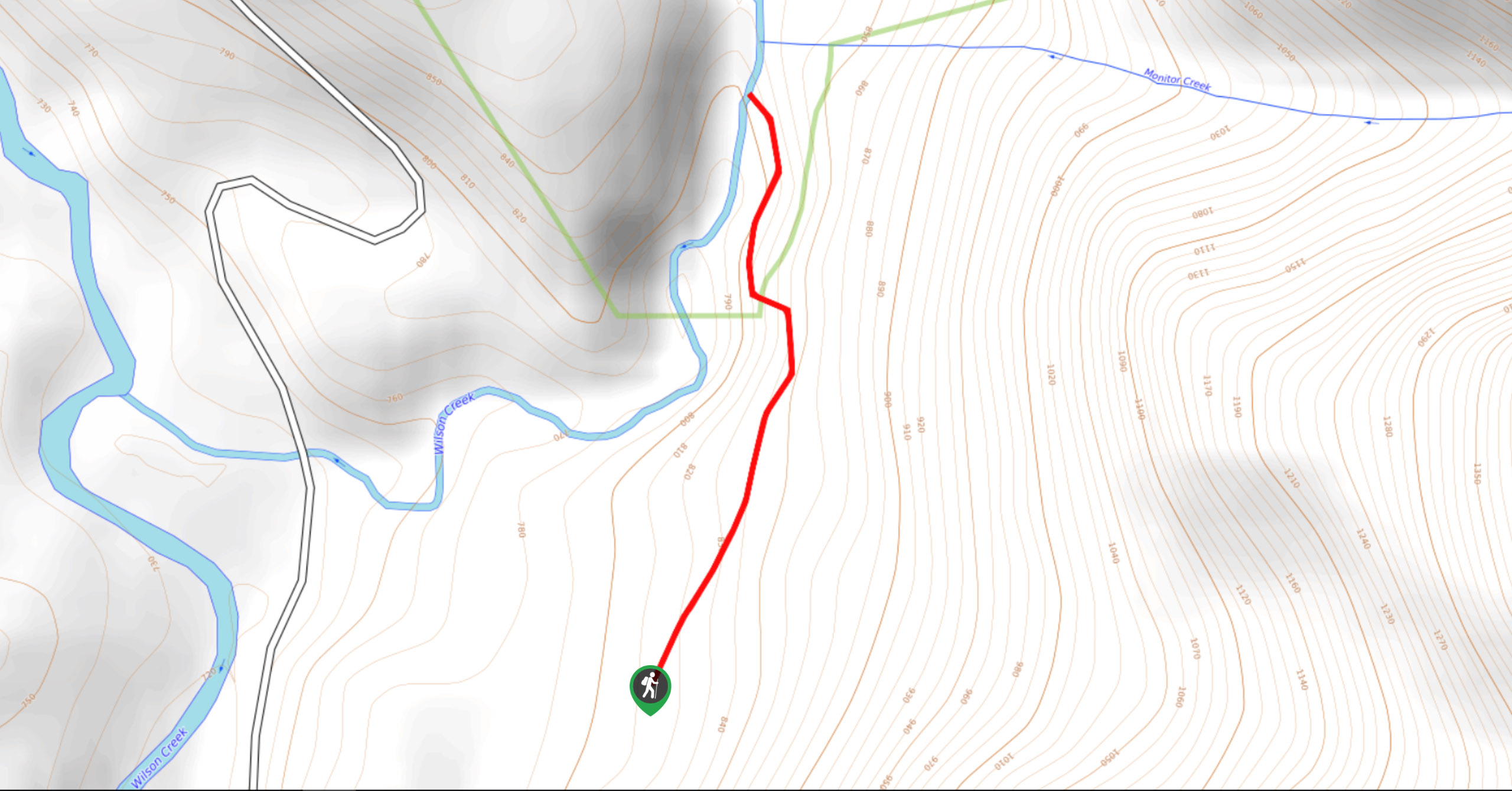
Wilson Creek Falls Trail
The Wilson Creek Falls Trail is a 1.8mi out-and-back route in Goat Range Provincial Park that travels along…
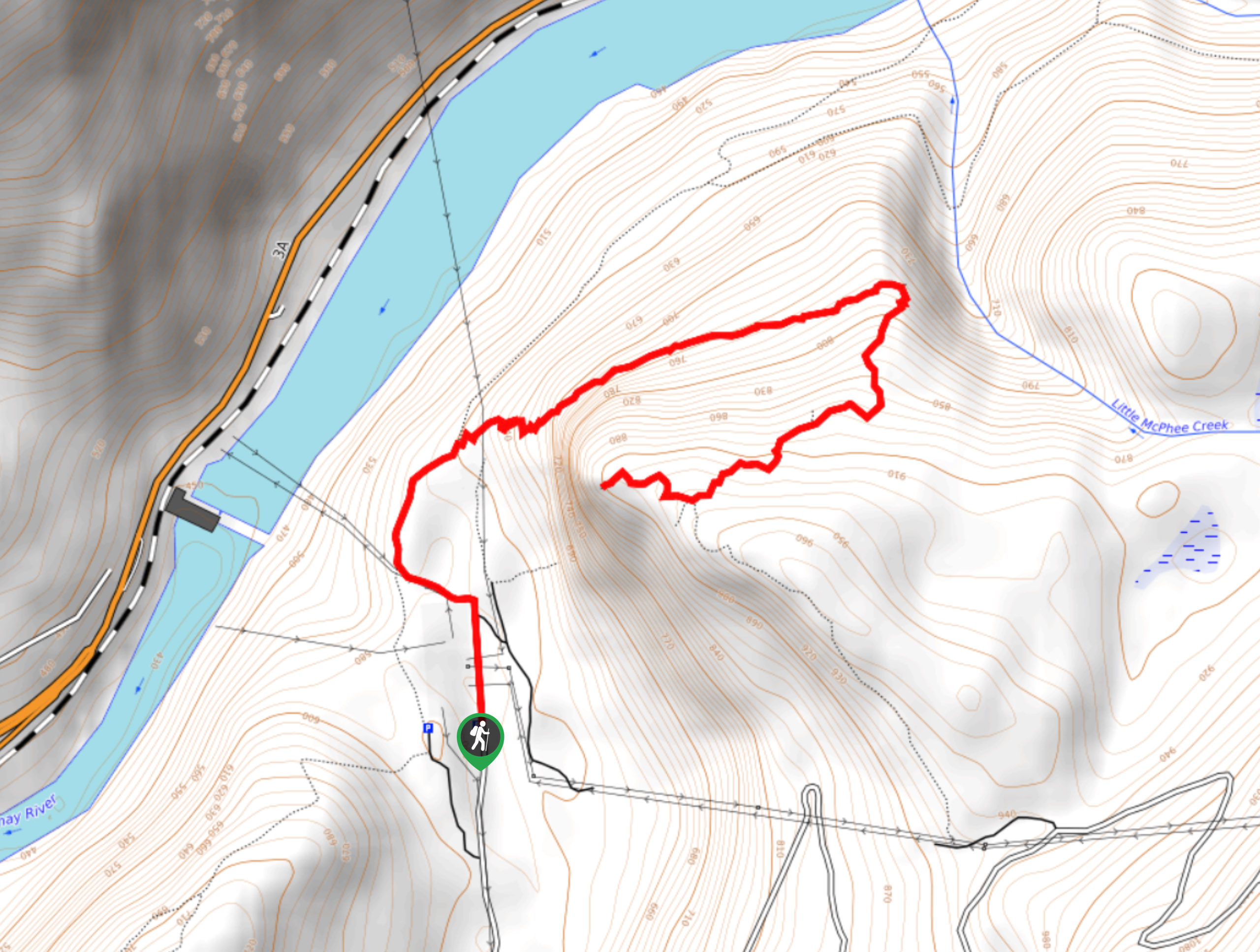
McPhee Waterfalls Hike
The McPhee Waterfalls Hike is a 3.5mi out-and-back hiking route near Castlegar, BC, that will take you along…
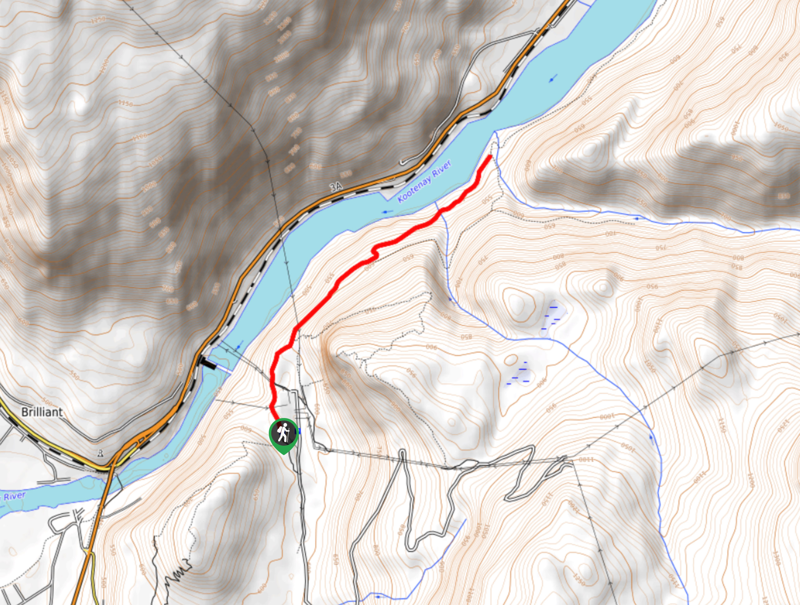
Brilliant Overlook Hike
The hike to Brilliant Overlook is a 3.7mi out-and-back trail in Castlegar, BC, that works through the forest…
Comments