

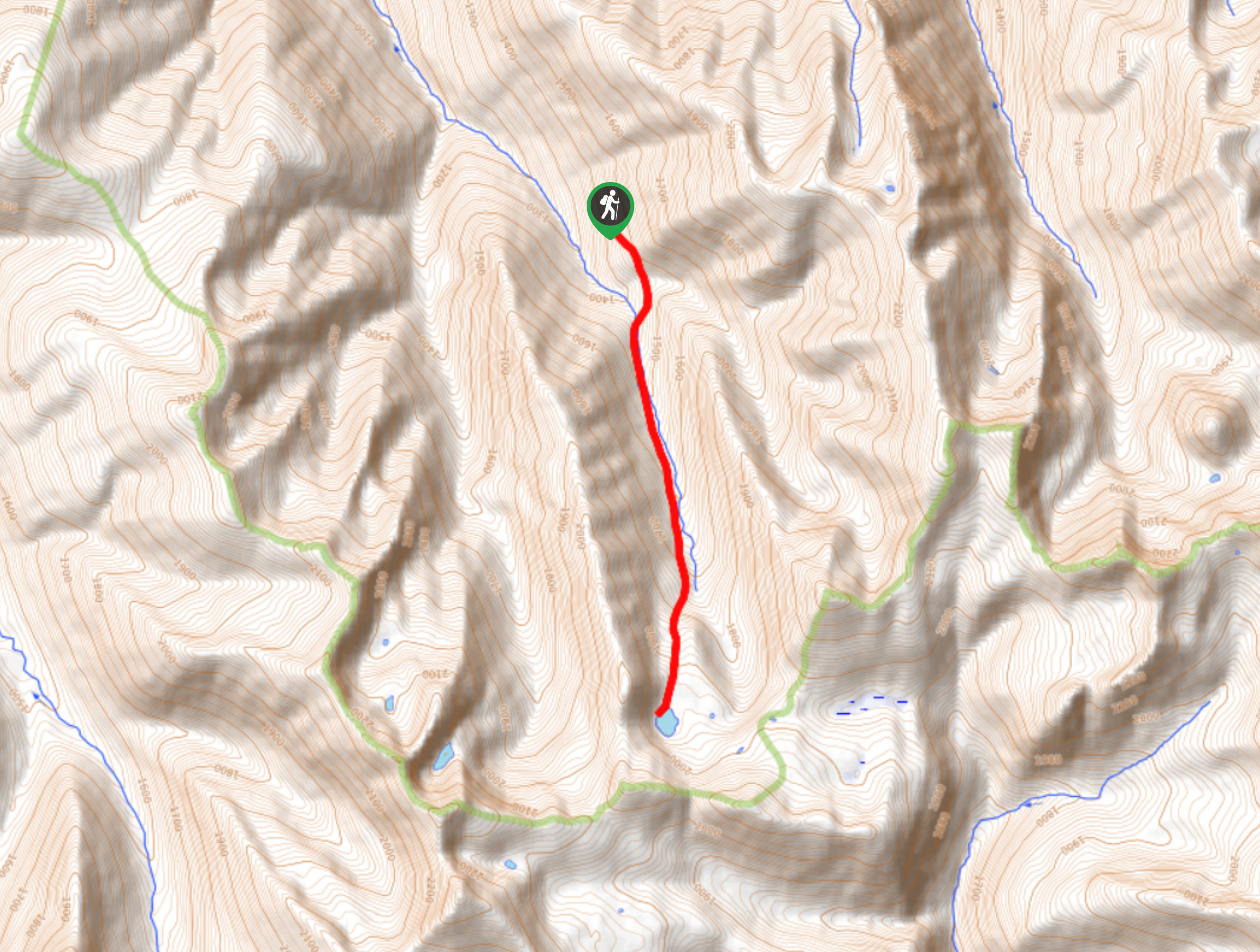
Mill Lake Trail
View PhotosMill Lake Trail
Difficulty Rating:
The Mill Lake Trail is an 5.5mi out-and-back hiking route near Nelson, BC, that takes you through a recovering section of forest that was ravaged by a fire in 2017 to the tranquil shores of a beautiful woodland lake. Along the hike, you will experience a beautiful but slightly eerie sensation as you make your way through the toasted trees that are showing signs of new life. A new access road to the trailhead has made the hike a manageable day trip; however, it is still fairly rough, so you will likely need a high clearance vehicle to make the journey in.
Getting there
To reach the Mill Lake trailhead from the Harrop Proctor Ferry, drive 1.4mi on Harrop Proctor Road and turn right. Reset your odometer and turn right at the 2.7mi mark. Keep on the main road and at the 5.8mi mark you will arrive at the trailhead.
About
| When to do | May-October |
| Backcountry Campsites | No |
| Pets allowed | Yes |
| Family friendly | Older Children only |
| Route Signage | Average |
| Crowd Levels | Low |
| Route Type | Out and back |
Mill Lake Trail
Elevation Graph
Weather
Mill Lake Trail Description
Hiking along the Mill Lake Trail is an amazing outdoor experience due to the beautiful scenery and fun route, but also because of the way in which you can visibly see nature healing and reclaiming the forest. Devastated by a forest fire in 2017, this area is now starting to show plenty of green amongst the charred trees, a sure sign that things will eventually return to normal in the area.
The trail sets out from the parking area and heads through the forest before coming to a small creek crossing with a bridge. Once you are on the other side, the trail climbs back up through the trees among countless berry bushes, so make sure to keep an eye out for bears and make plenty of noise. As the trail continues to steepen, you will cross a slope dotted with charred trees, providing a good understanding of the scale of the fire that ravaged the area. Eventually, you will arrive at the serene waters of Mill Lake, surrounded by a forest of burnt trees and surrounding mountain peaks. After taking in the eerily beautiful views, head back along the same route to return to the parking area.
Similar hikes to the Mill Lake Trail hike
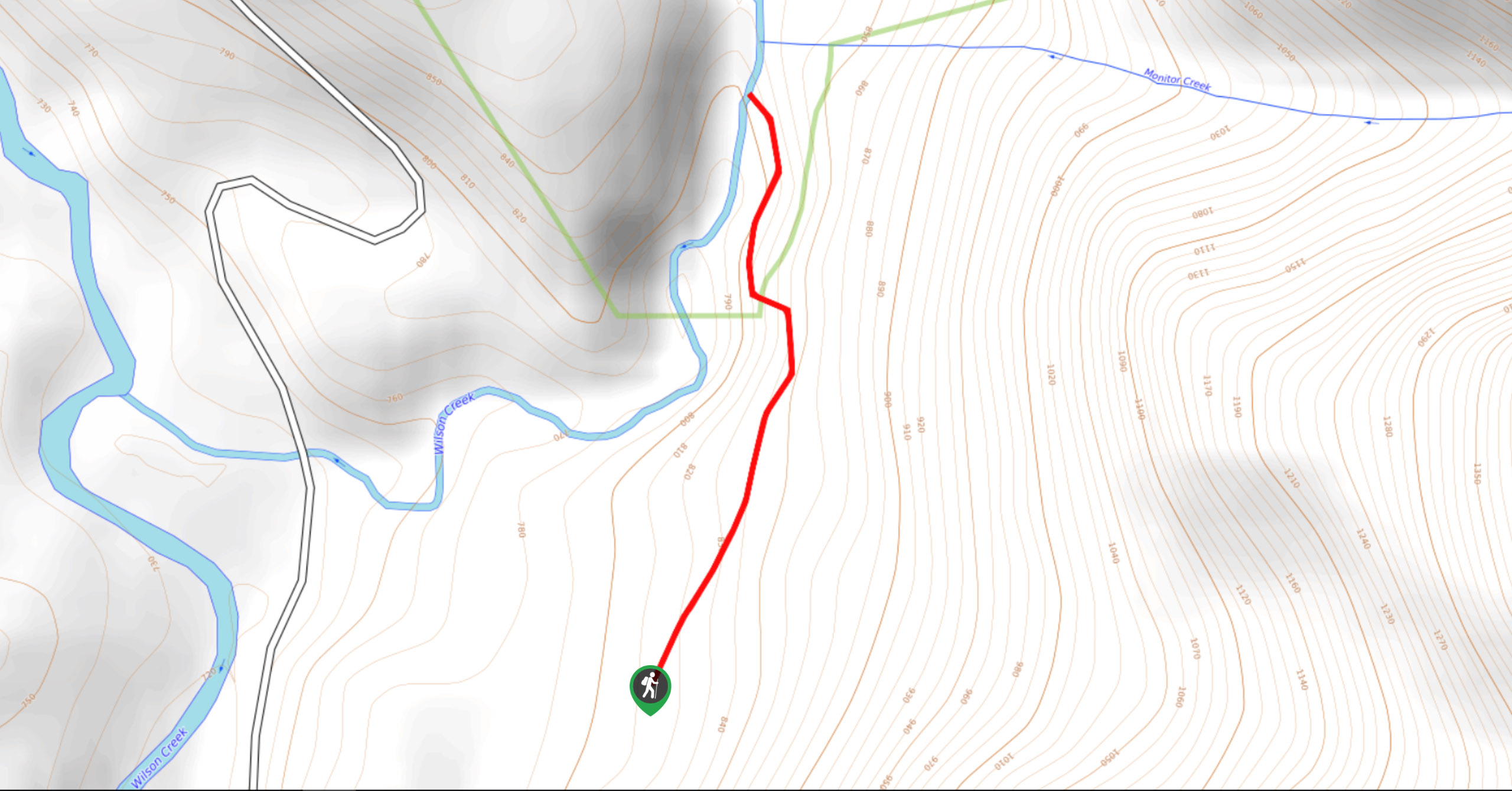
Wilson Creek Falls Trail
The Wilson Creek Falls Trail is a 1.8mi out-and-back route in Goat Range Provincial Park that travels along…
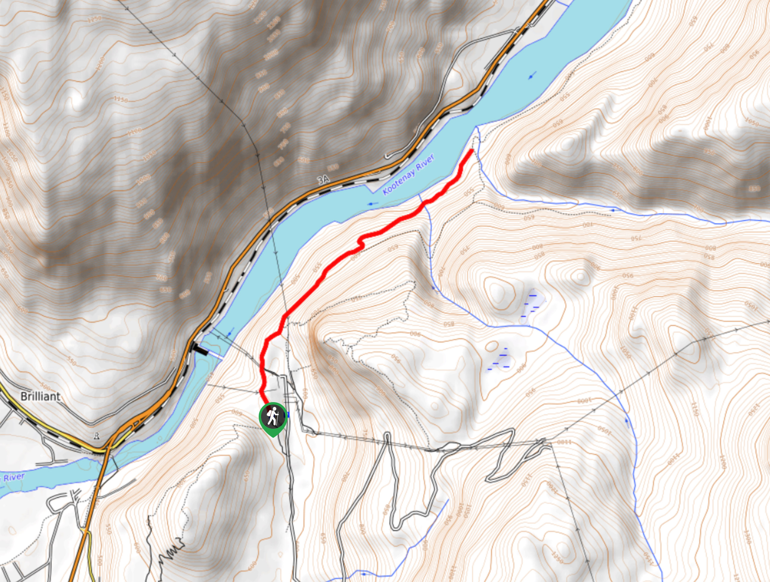
McPhee Waterfalls Hike
The McPhee Waterfalls Hike is a 3.5mi out-and-back hiking route near Castlegar, BC, that will take you along…
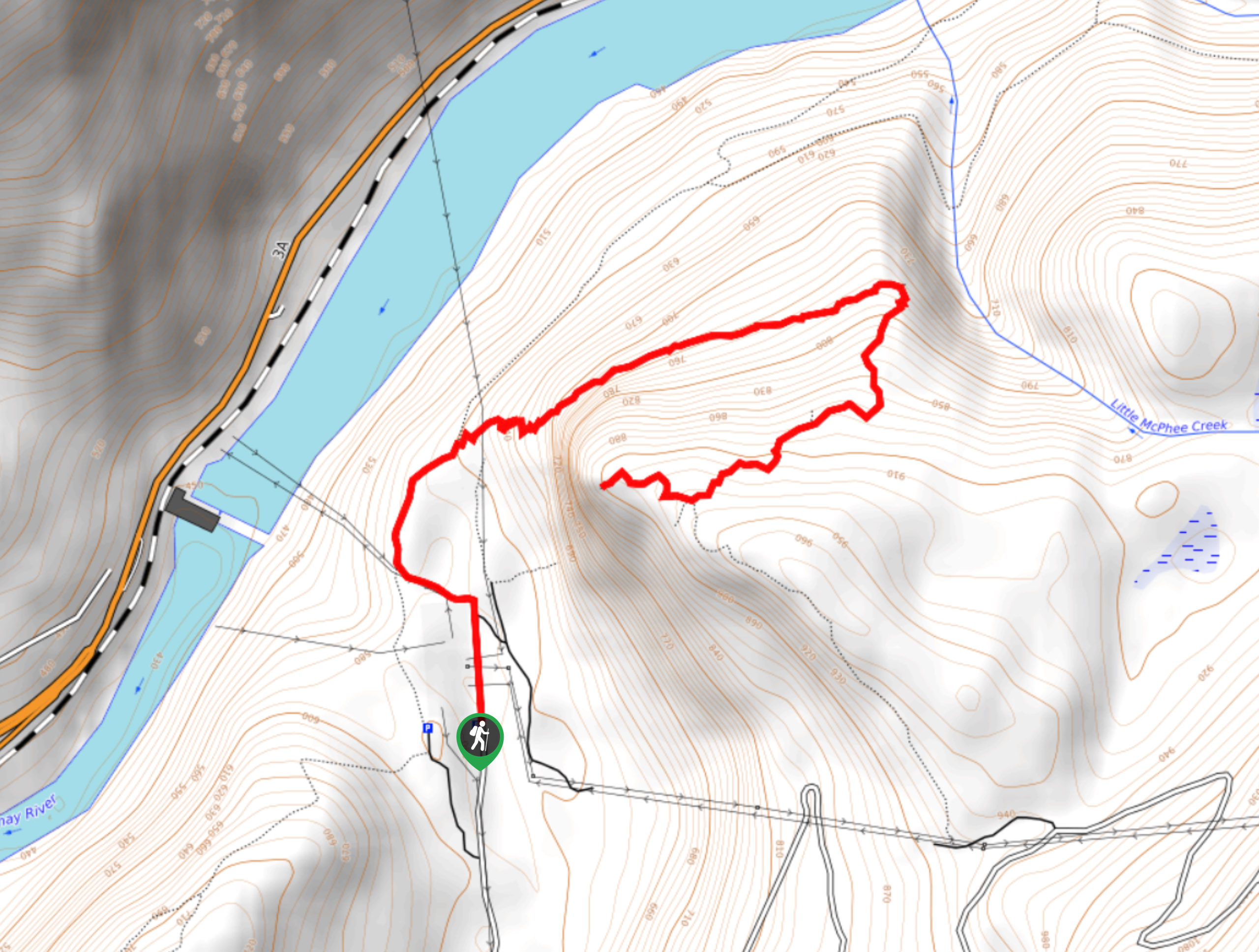
Brilliant Overlook Hike
The hike to Brilliant Overlook is a 3.7mi out-and-back trail in Castlegar, BC, that works through the forest…



Comments