

Mel DeAnna Trail Loop
View PhotosMel DeAnna Trail Loop
Difficulty Rating:
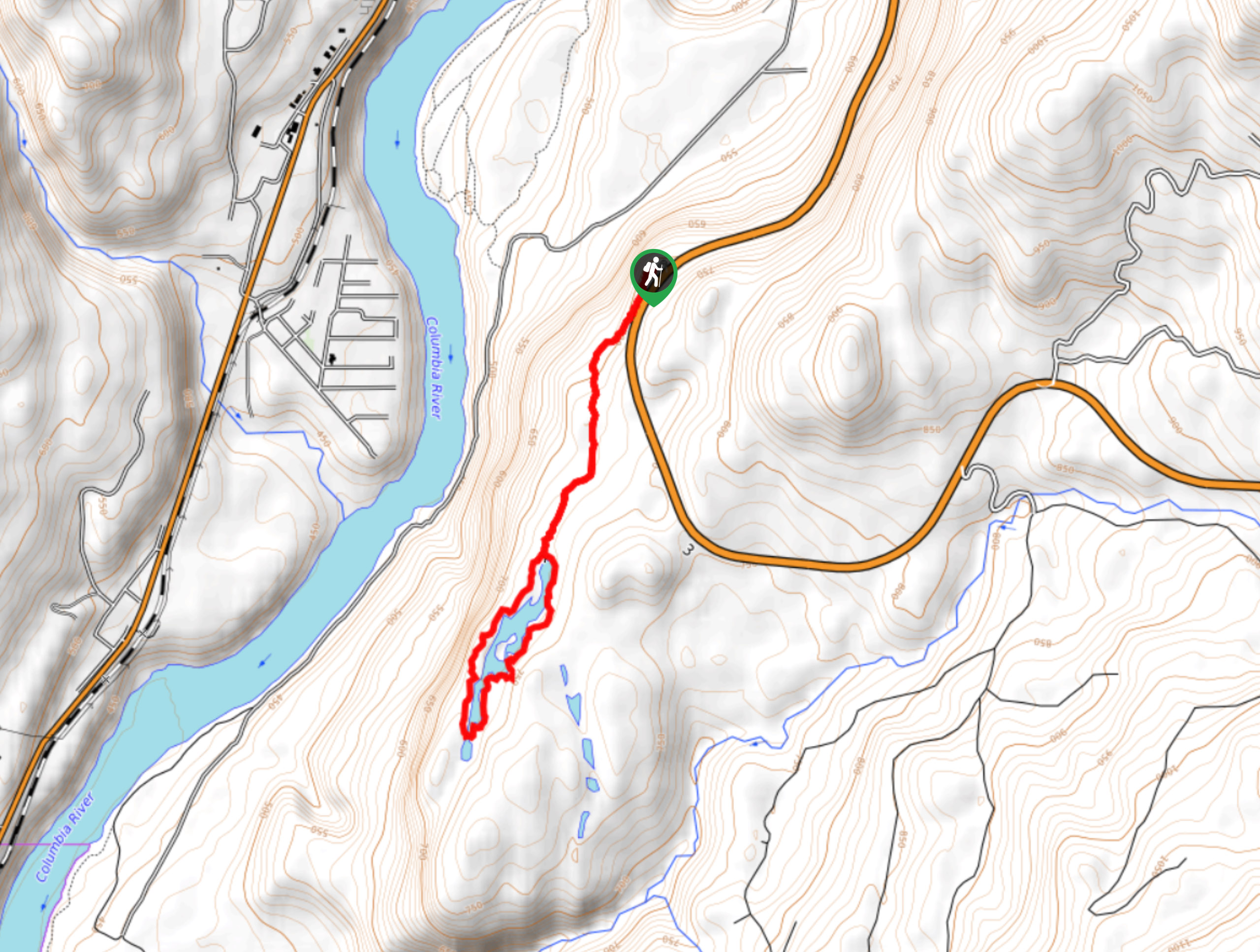
The Mel DeAnna Trail Loop is a 3.3mi hiking route near Castlegar, BC, that loops through the forest to visit the shores of a marshy woodland lake. The trail features interpretive signs that provide information on the surrounding area, as well as a good variety of terrain that includes forested paths, rocky sections of trail, stairs, and wet areas of marsh around the lake. This family-friendly trail is suitable for hikers of almost every skill level and the interesting terrain will make it feel like a full-on adventure for anyone travelling with kids.
Getting there
To get to the Mel DeAnna Trail Loop from Castlegar, head south on Columbia Avenue for 1.6mi and make a left to merge onto BC-3. After 4.5mi, turn right to enter the parking area.
About
| When to do | May-October |
| Backcountry Campsites | No |
| Pets allowed | Yes |
| Family friendly | Yes |
| Route Signage | Average |
| Crowd Levels | Low |
| Route Type | Lollipop |
Mel DeAnna Trail Loop
Elevation Graph
Weather
Mel DeAnna Trail Loop Description
If you are looking to experience a fun nature trail with interpretive signs, then the Mel DeAnna Trail Loop is a perfect option to explore the natural beauty of the southern British Columbia landscape. Due to the proximity to water, you might want to bring bug spray along for this hike. The route sets out from the parking area and traverses a rocky stretch of trail and some stairs through the forest on the way to the edge of a small woodland lake. As you work your way around the marshy lake, you can stop to learn about the local flora and fauna from a series of interpretive signs that dot the trail. Continue on around the water’s edge and relax in the peaceful atmosphere of the moss-covered forest. Eventually, you will arrive back at the trail that led you to the loop, which you can take to return to your vehicle.
Similar hikes to the Mel DeAnna Trail Loop hike
Wilson Creek Falls Trail
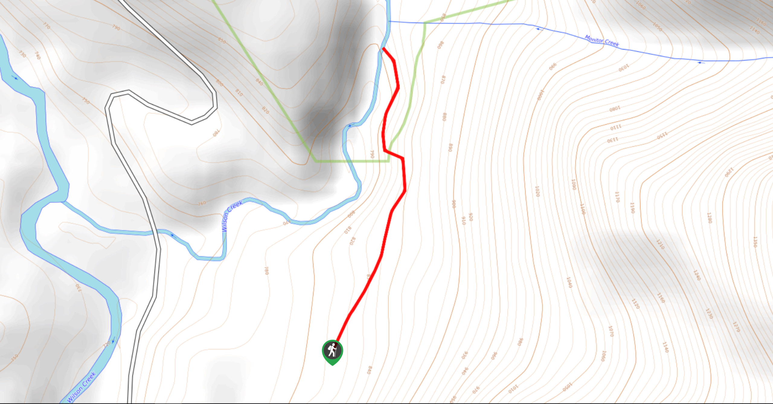
The Wilson Creek Falls Trail is a 1.8mi out-and-back route in Goat Range Provincial Park that travels along…
McPhee Waterfalls Hike
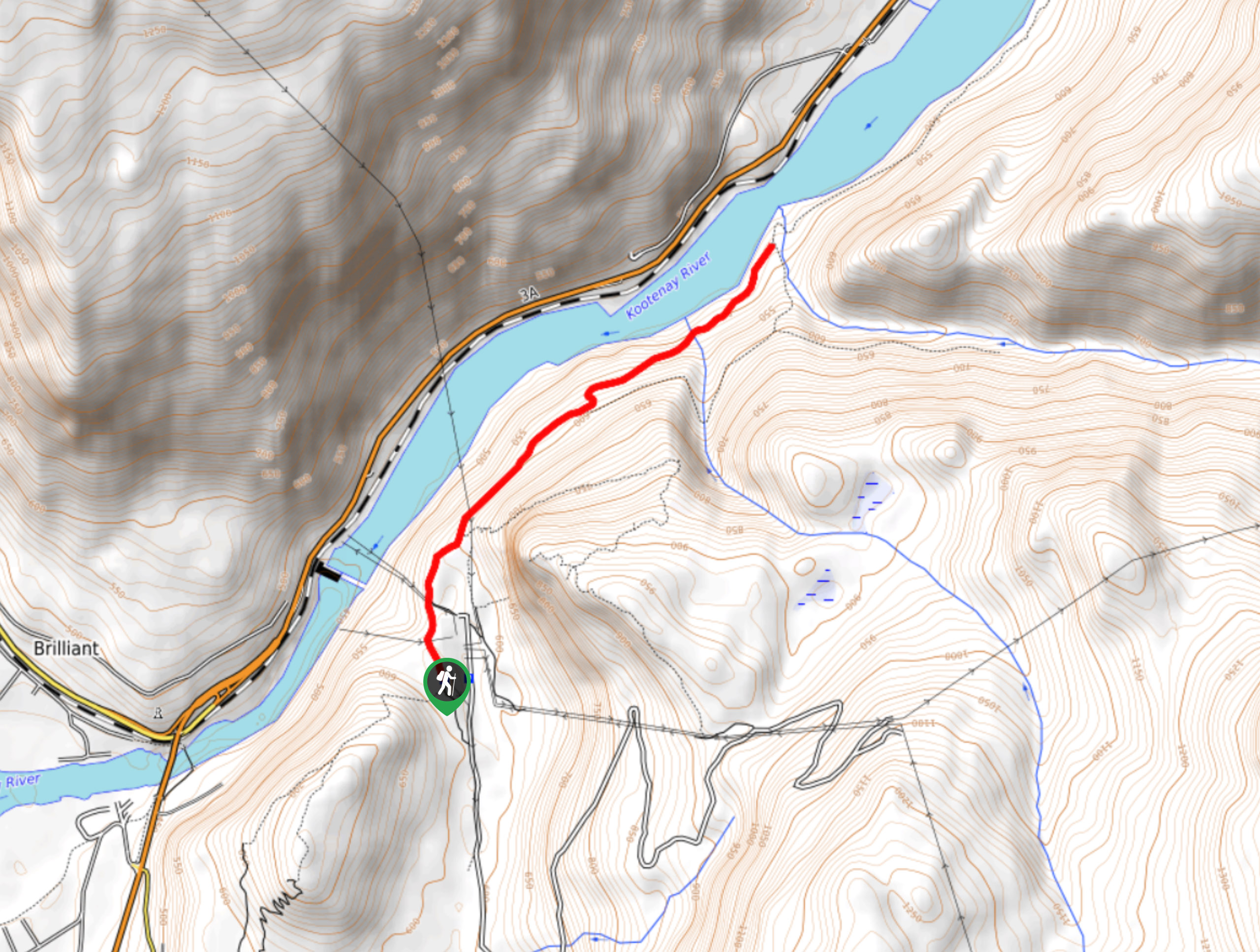
The McPhee Waterfalls Hike is a 3.5mi out-and-back hiking route near Castlegar, BC, that will take you along…
Brilliant Overlook Hike
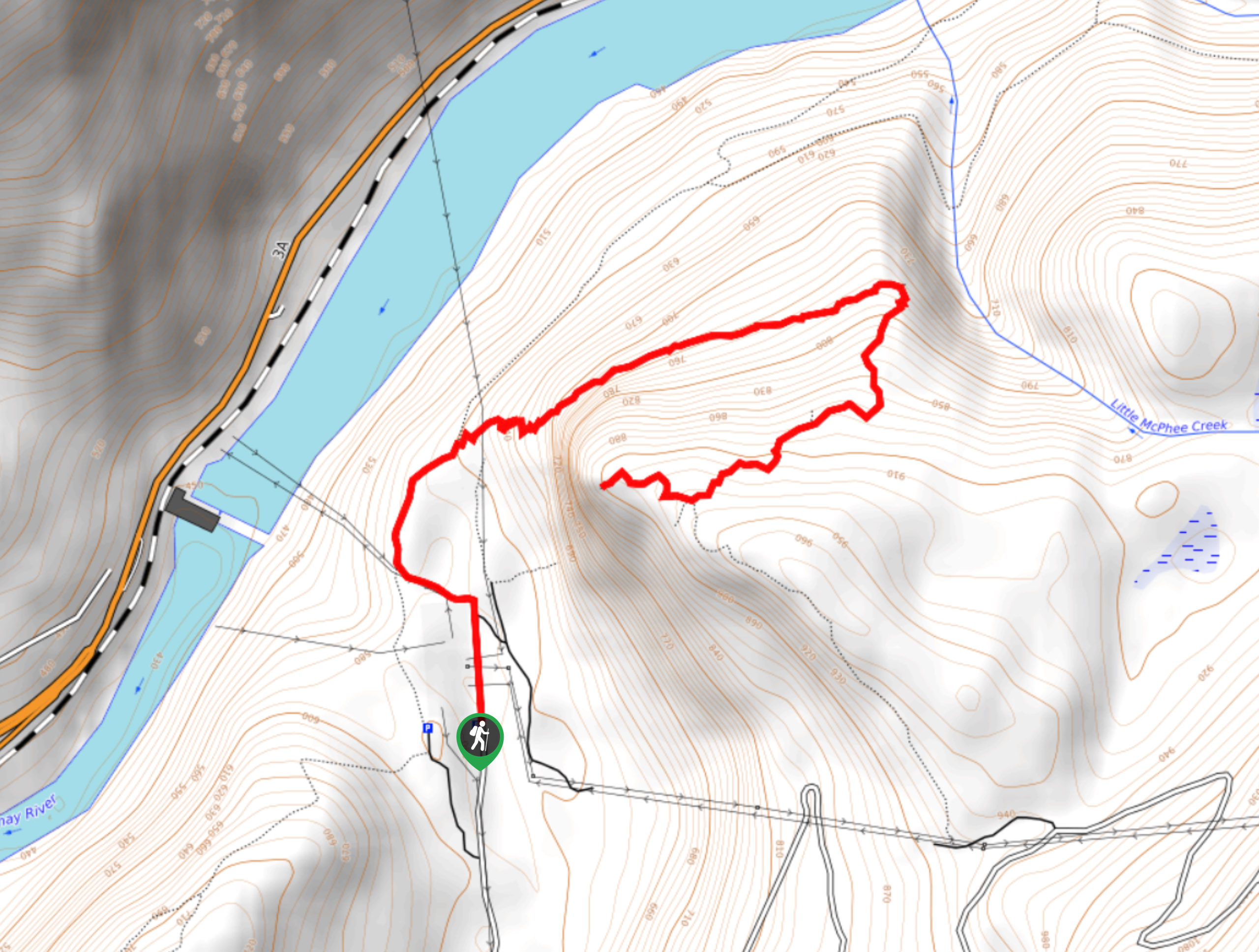
The hike to Brilliant Overlook is a 3.7mi out-and-back trail in Castlegar, BC, that works through the forest…


Comments