McPhee Waterfalls Hike
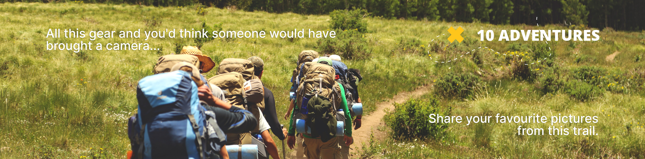
View Photos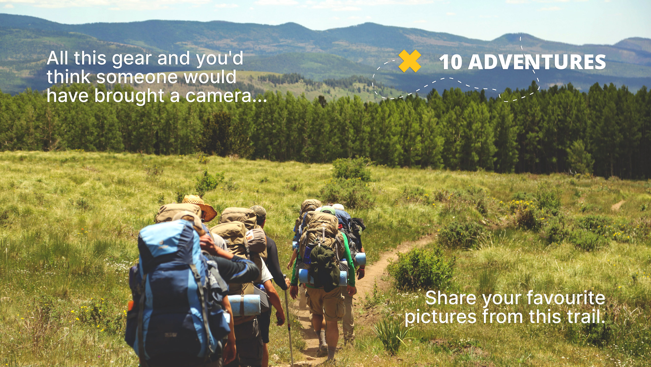
McPhee Waterfalls Hike
Difficulty Rating:
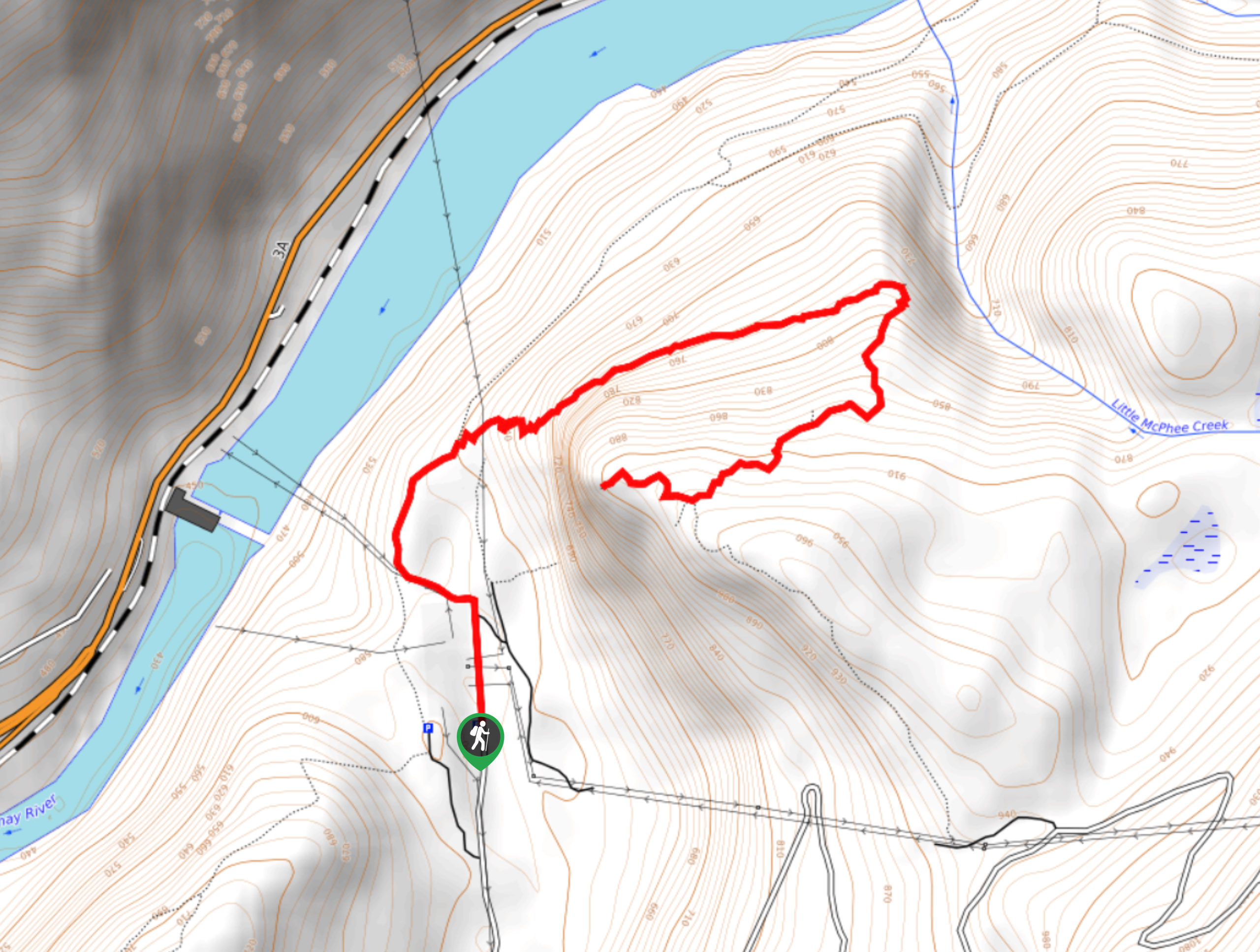
The McPhee Waterfalls Hike is a 3.5mi out-and-back hiking route near Castlegar, BC, that will take you along the edge of the Kootenay River to reach a stunning, moss-covered waterfall. Along the trail, you can expect to pass through beautiful stretches of forest and experience scenic views that stretch across the valley. Make sure to travel in groups and bring bear spray, as cougars are sometimes seen along the trail.
Getting there
To get to the McPhee Waterfalls trailhead from the BC-3 highway in Castlegar, take the exit onto Columbia Road and follow it north for 1.5mi. Make a right turn onto Aaron Road and continue on for 1969ft, where you will turn right onto McPhee Creek Road. In 2.4mi, you will find the parking area and a trail on the left side of the road. On foot, follow the trail north and keep right at the junction to reach the trailhead.

About
| When to do | Year-Round |
| Backcountry Campsites | No |
| Pets allowed | Yes |
| Family friendly | Yes |
| Route Signage | Average |
| Crowd Levels | Moderate |
| Route Type | Out and back |
McPhee Waterfalls Hike
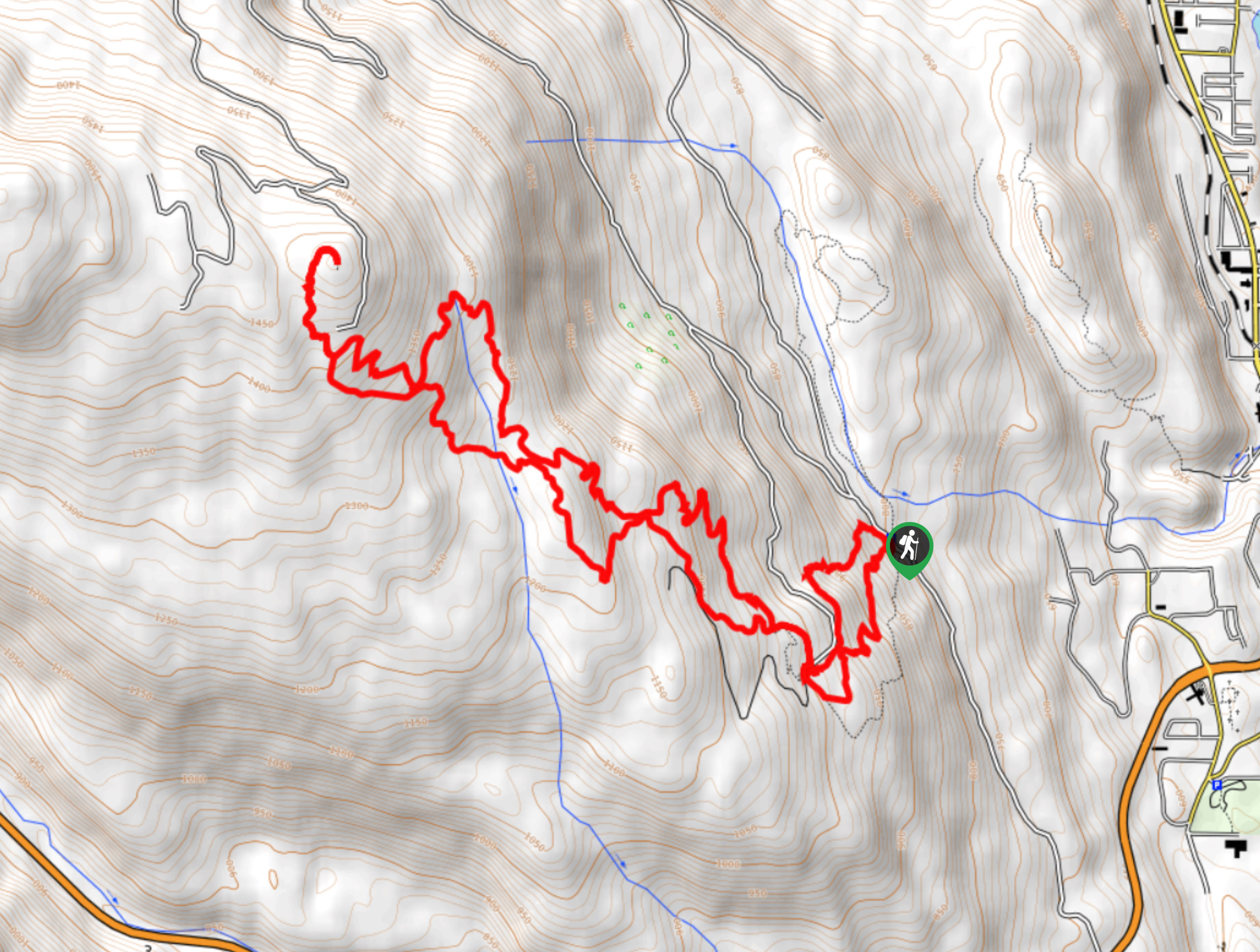
Elevation Graph
Weather
McPhee Waterfalls Hike Description
The McPhee Waterfalls are a beautiful geological feature near Castlegar that are covered in a thick layer of green moss and are characterized by a strong torrent of water during wetter times of the year. Easily accessible by a short hike through the forest, the area around the falls is a peaceful spot that is perfect for reconnecting with nature.
The trail sets out near the Castlegar Golf Course and heads through the forest around the power substation. Here, the trail will turn to the northeast on a route that runs parallel to the Kootenay River before crossing over the flowing waters of Little McPhee Creek. After a few hundred metres, you will arrive at the moss-covered falls along McPhee Creek and can relax to the sound of the rushing water within the peaceful forest atmosphere. After enjoying the views, head back along the same route to return to the trailhead, while taking in views overlooking the valley and surrounding mountains.
Similar hikes to the McPhee Waterfalls Hike hike
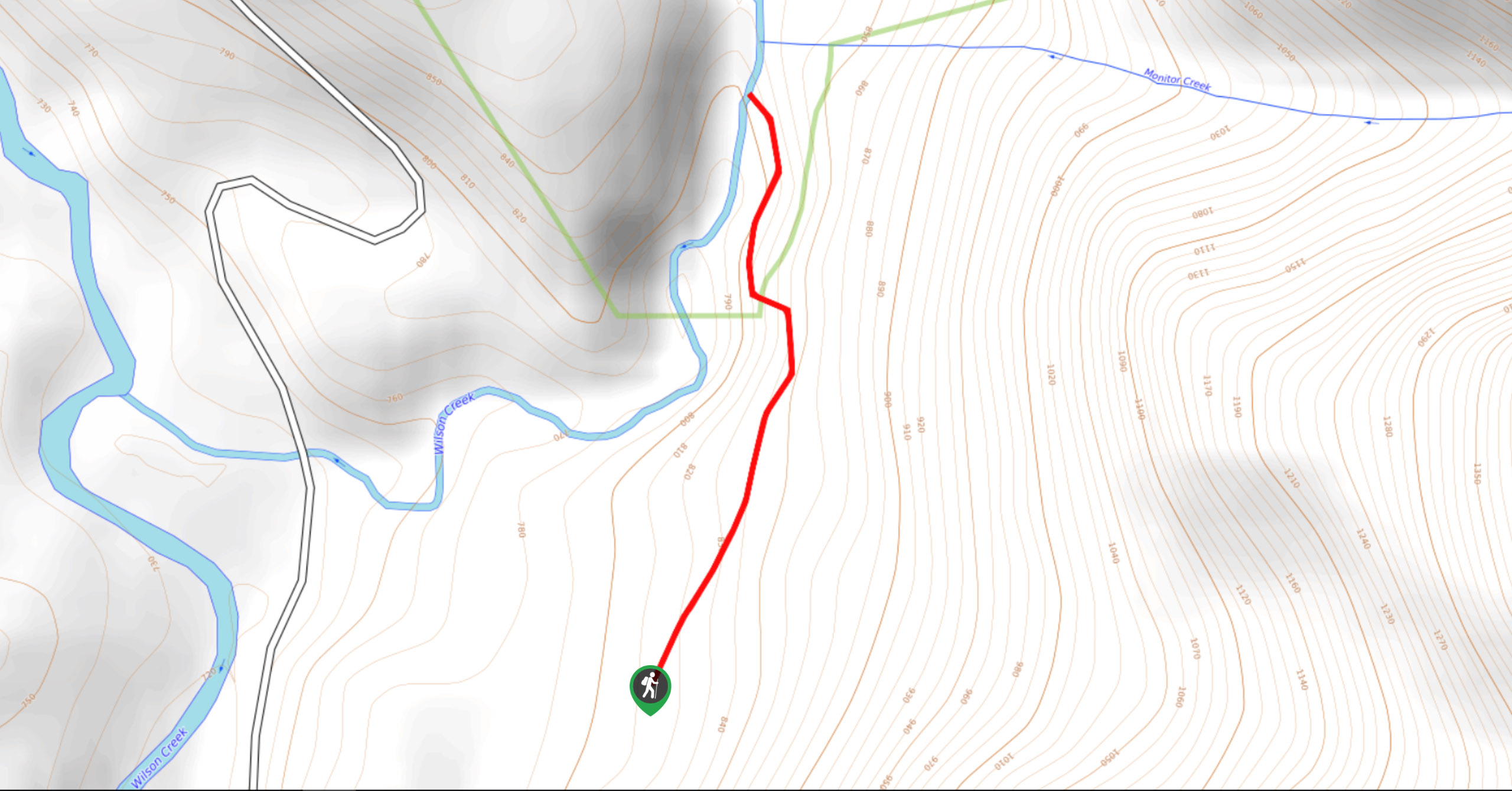
Wilson Creek Falls Trail
The Wilson Creek Falls Trail is a 1.8mi out-and-back route in Goat Range Provincial Park that travels along…
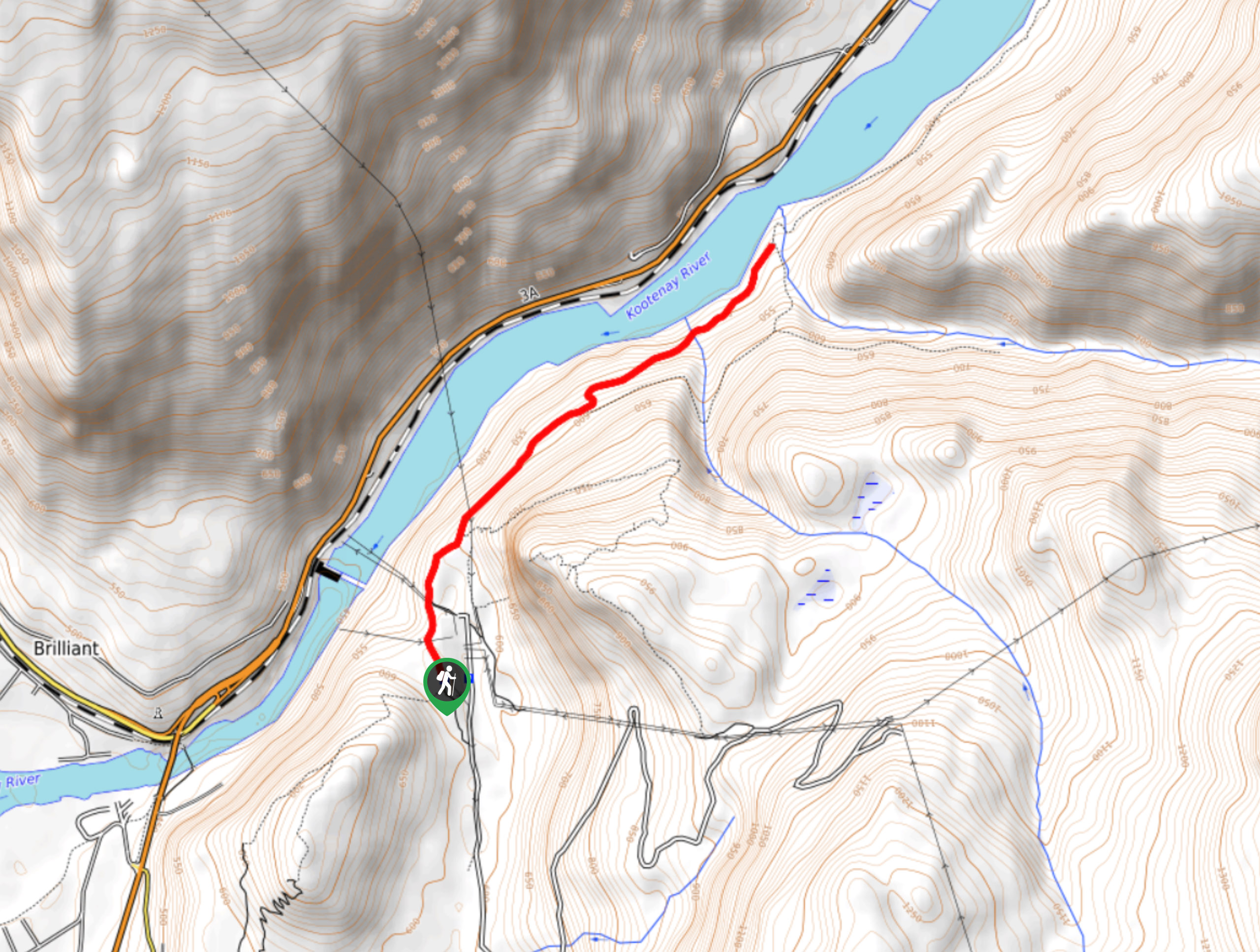
Brilliant Overlook Hike
The hike to Brilliant Overlook is a 3.7mi out-and-back trail in Castlegar, BC, that works through the forest…
Merry Loop
The Merry Loop Trail is a 8.7mi circuit hiking route that utilizes a multi-use trail through a beautiful…
Comments