


Macbeth Icefield hike
View PhotosMacbeth Icefield hike
Difficulty Rating:
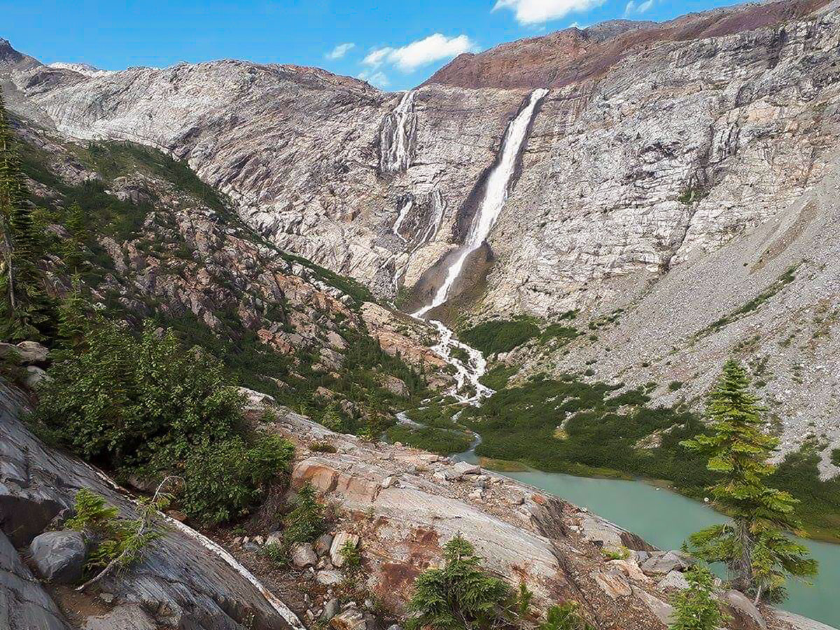
The Macbeth Icefield hike in the West Kootenays, is the best hike for those who are after a challenging day trip. You will venture through marsh land, forest, staircases, ridgelines and rock until you reach the epic Macbeth Icefield towering above you. Enjoy a narrow waterfall that can be seen for the last few hours of the hike. Rarely visited by tourists, it is a serene and peaceful place to view the vastness of the surrounding wilderness and immerse yourself among locals who have hiked this route for many years.
Getting there
The closest towns are Meadow Creek and Argenta – small rustic towns that are worth a visit in themselves. Access is south of Meadow Creek, off the main highway. Take a right onto Argenta Road and after crossing the river, go left at the 3-way, onto the unpaved Duncan Road. The road is approximately 12.4mi long, unpaved and rocky, but worth it. Leave early and follow the signs. After passing Glacier Creek campground at around 6.2mi from the highway, you need to ascend right to Glacier Creek Road. 6.2mi later you will reach a fork, turn left for Macbeth Icefield for another 1.2mi. It is steep, narrow and very rocky. 4WD is essential for this final 1.2mi.
About
| When to do | August and September |
| Backcountry Campsites | No |
| Pets allowed | No |
| Family friendly | No |
| Route Signage | Average |
| Crowd Levels | Low |
| Route Type | Out and back |
Macbeth Icefield
Elevation Graph
Weather
Route Description for Macbeth Icefield
The Macbeth Icefield hike is an epic hike, but you need to make sure you have the right vehicle to get to the trail head. The last 1.2mi of the access road to Macbeth Icefield is 4WD only and the parking lot is small (4-5 cars).
Weather on this hike can vary immensely and the ground may be very wet, be prepared for changing weather. This hike is very remote, steep and challenging, but is one of the most beautiful hikes in the West Kootenays, and a favourite of almost every local.
The Macbeth Icefield trail is easy to follow. You begin by following the original road for roughly 1 km to the original trailhead. From there, you will begin ascending through the forest alongside the powerful Birnam Creek before entering the forest beneath Macbeth Icefield.
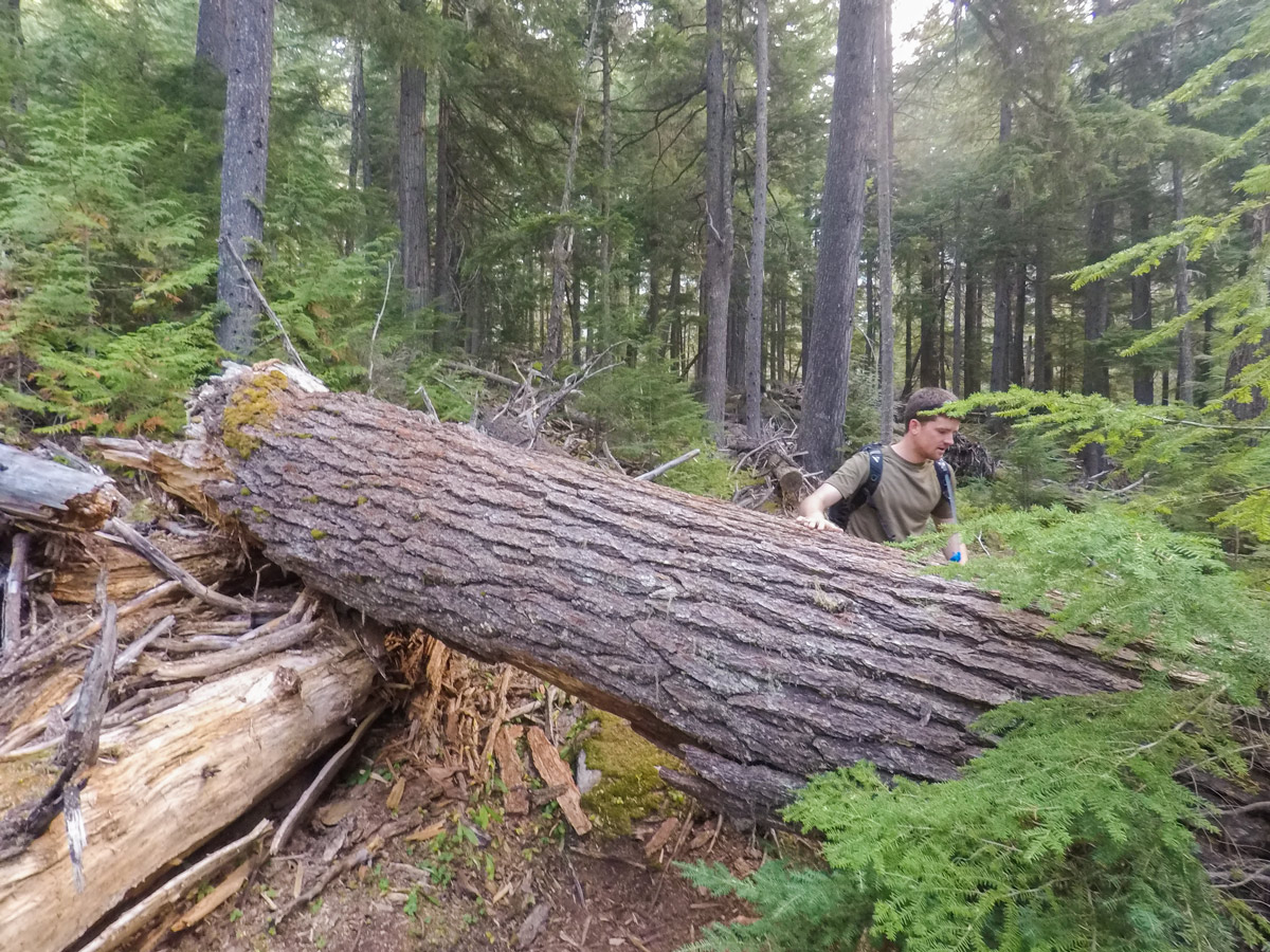
After the marshy forest comes the steepest and most challenging section of the Macbeth Icefield hike. You will be climbing up a trail that has some old wooden staircases where the land is too steep. Please check the condition of these stairs prior to use, some are very old and should be used with caution. The route goes up and over rocks and deadfall.
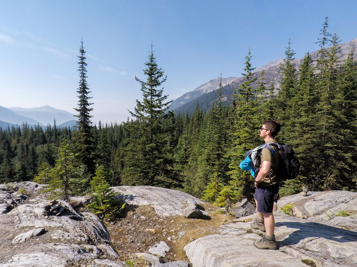
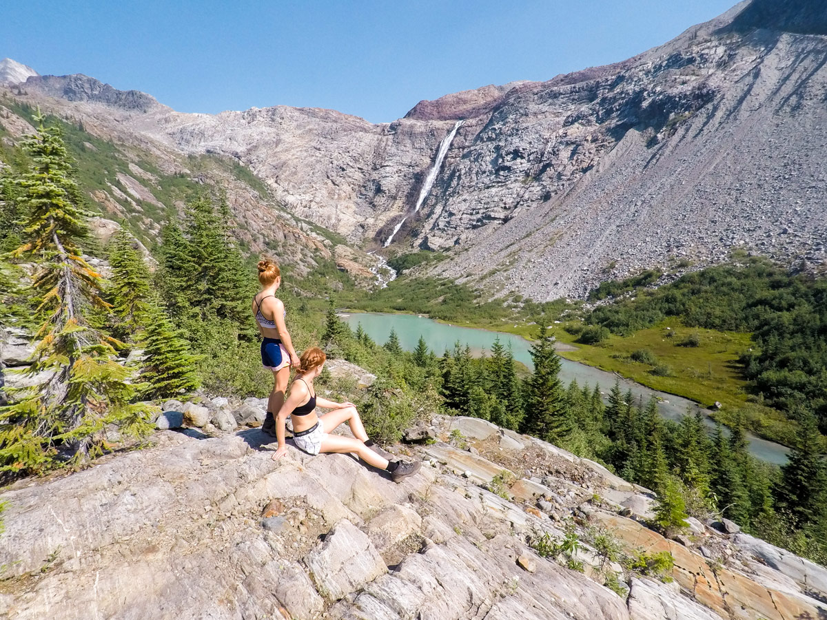
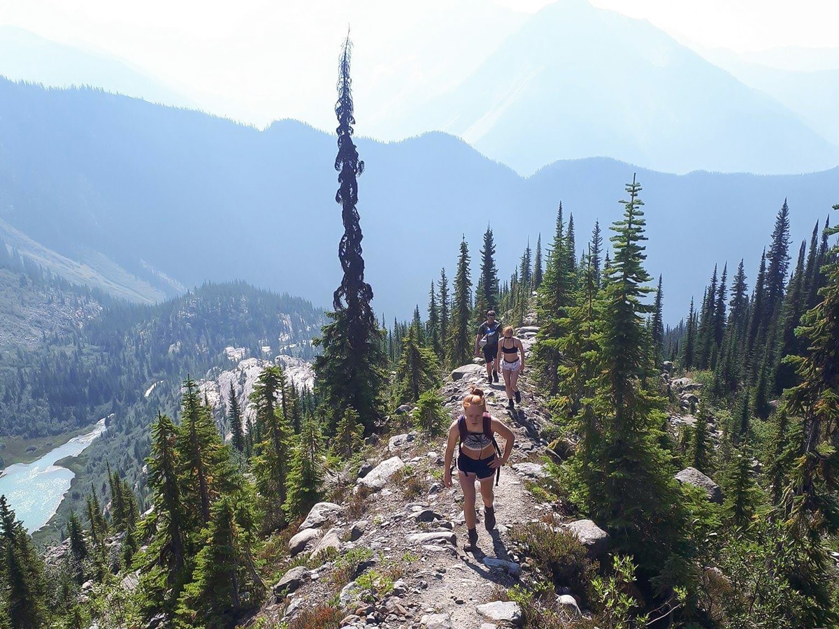
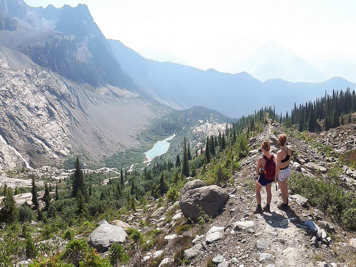
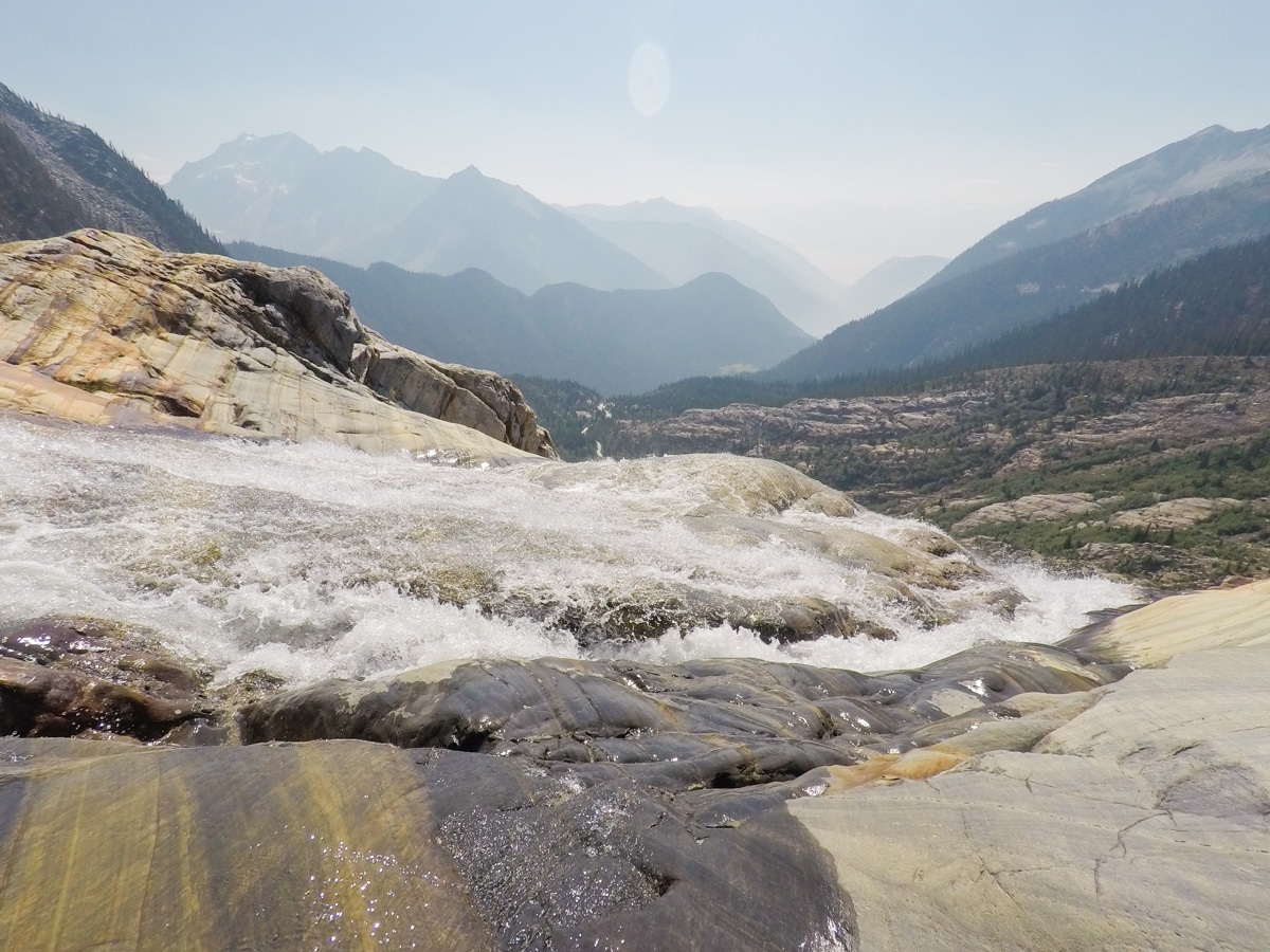
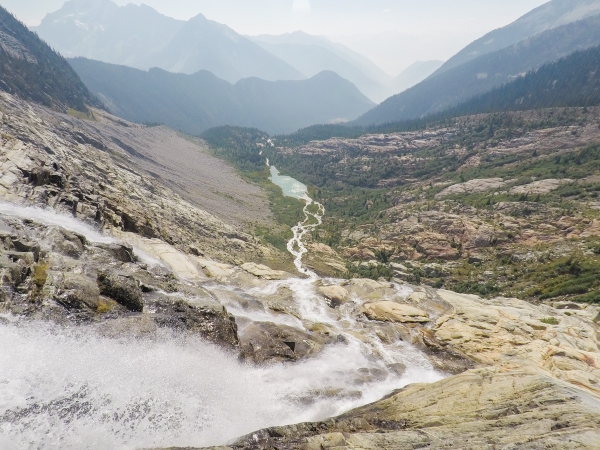
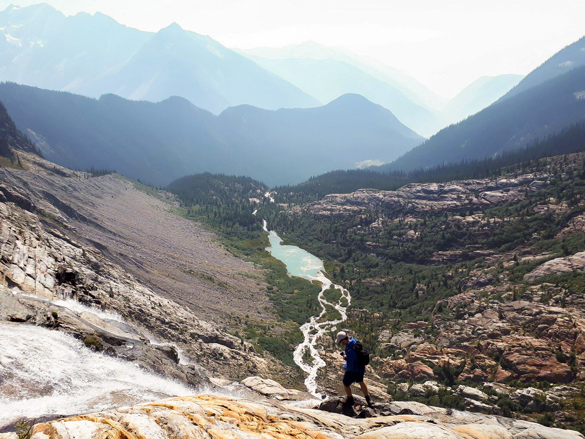
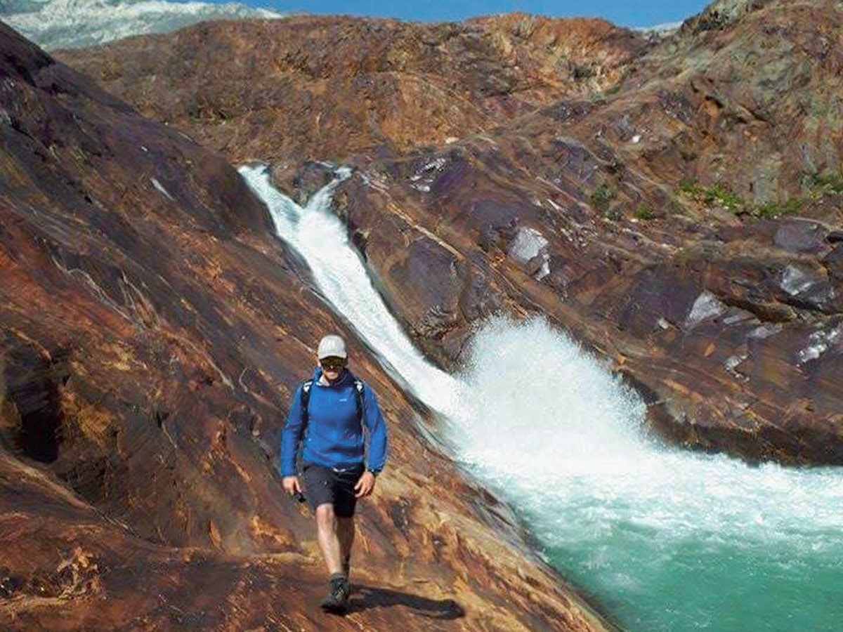
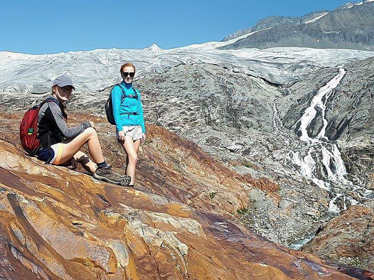
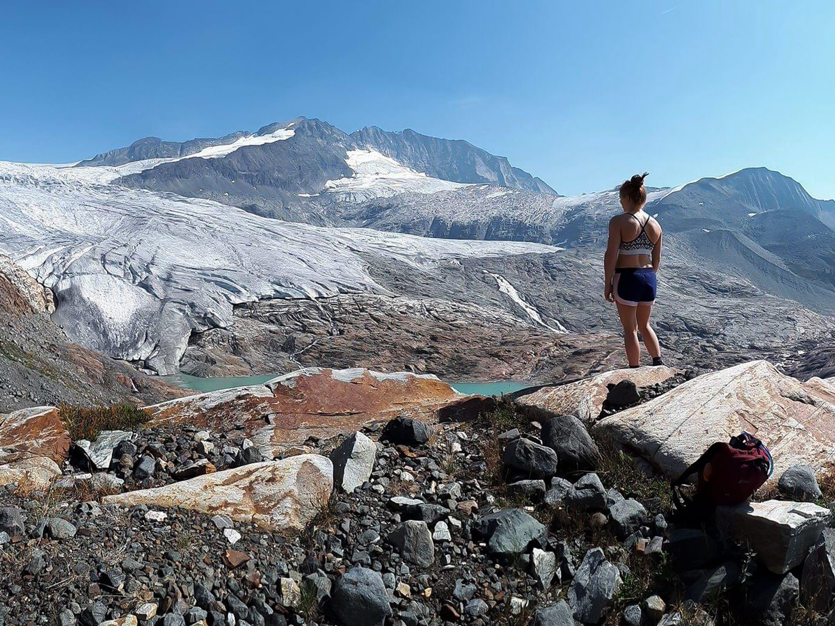
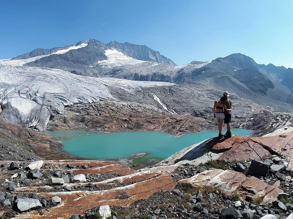
After a few hours of hiking through the forest you are greeted with a rocky landscape and views of the double waterfall from Macbeth Icefield. Here you follow the ridgeline that has been carved out by the receding glacier, all the way to the ice and its turquoise blue Greymalkin Lake.
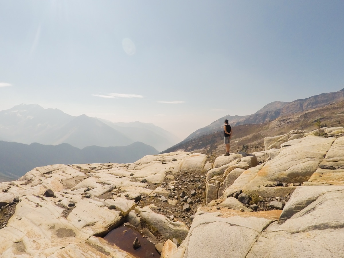
Once you get to the top you can explore the surrounding area and enjoy the views of Macbeth Icefield from many different viewpoints.
Return the way you came, taking care on the steep descents.
Insider Hints
Bring solid waterproof boots, it can be soggy at the start.
Arrive early, the parking lot holds only 4-5 cars and although it is not frequently visited, it’s worth getting there early anyway to enjoy your full day at Macbeth Icefield.
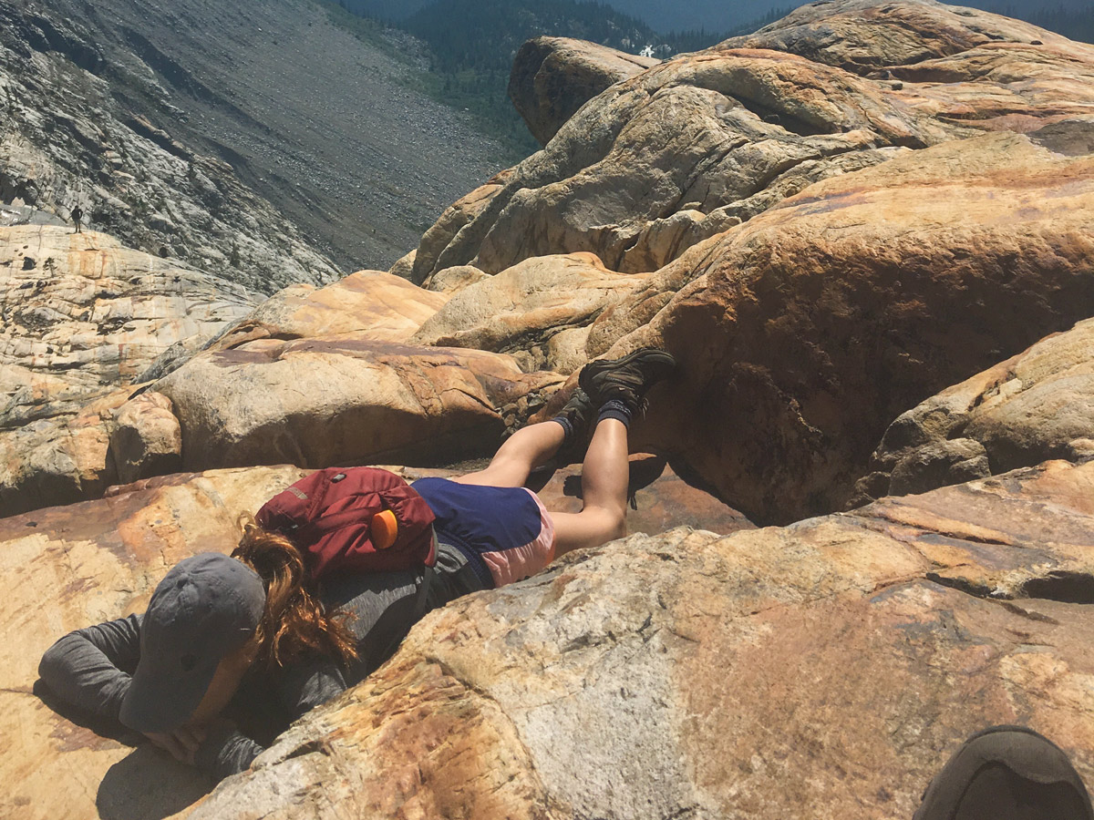
Leave some time to explore the rocks at the top.
Take a lot of water with you, you can easily go through 4-5 liters on this hike.
It can be cold at the top, always be prepared for changing weather conditions.
There are a couple of campsites along Duncan Lake to stay for the night before or after (watch for the mosquitoes, this is marsh land).
Similar hikes to the Macbeth Icefield hike
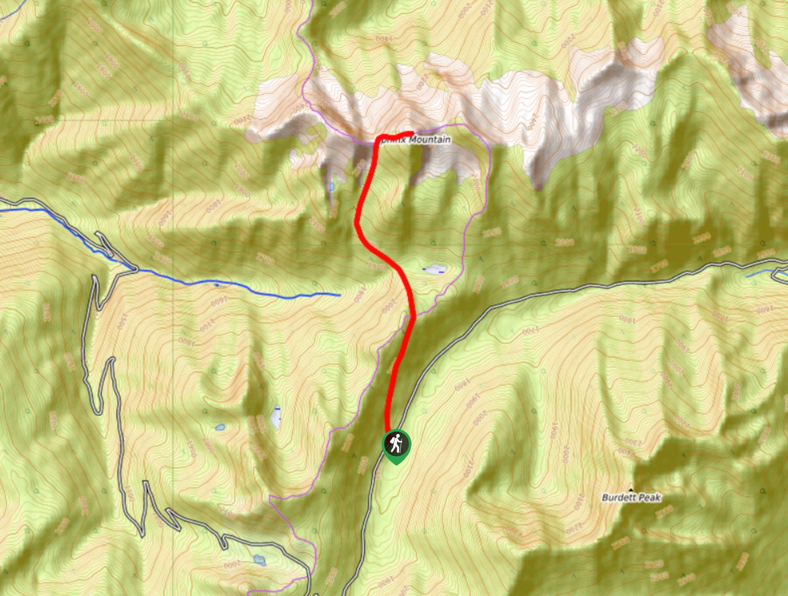
Sphinx Mountain Trail
The Sphinx Mountain Trail is a 5.9mi out-and-back hiking route that climbs steeply uphill to reach the saddle…
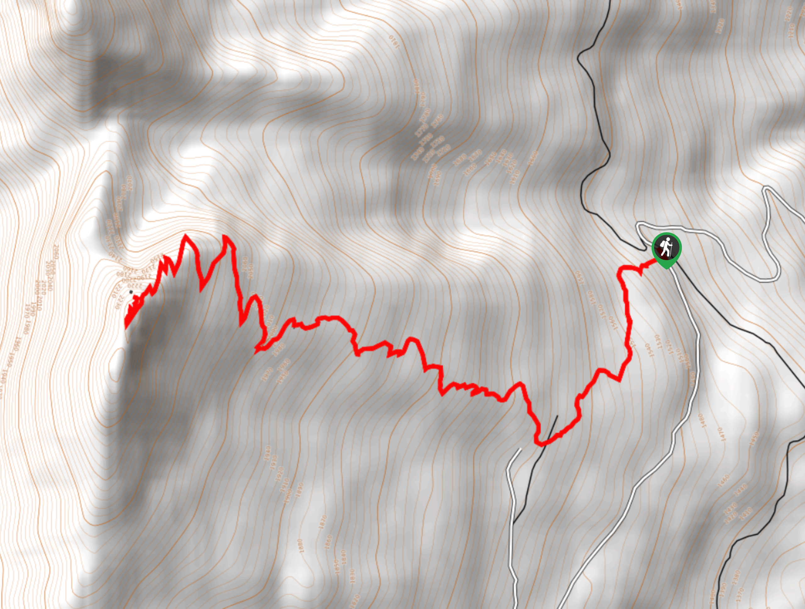
Saddle Mountain Lookout
The Saddle Mountain Lookout trail is an 5.3mi out-and-back hiking route that will take you up to a…
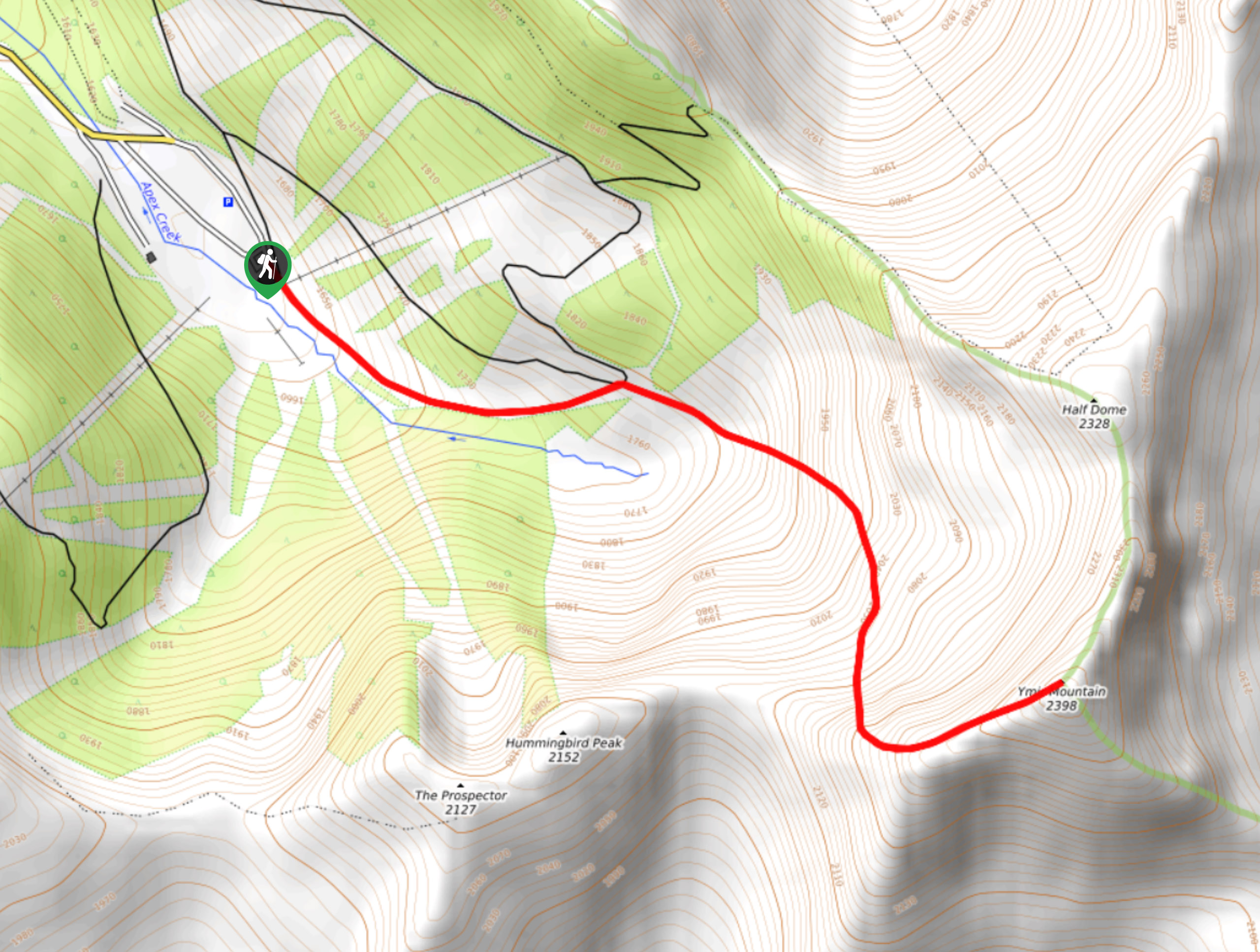
Ymir Mountain Hike
The trail leading up Ymir Mountain is a 3.9mi out-and-back hiking route at the Whitewater Ski Resort that…



AnnSue 5 years ago
I did this hike a few years ago with my friends, and I think it was the most peaceful hike we ever had.
Meighan 5 years ago
Very steep in some sections, but worth every step!
Glori S. 5 years ago
Beautiful vantage at Paget fire. Typically short but worthwhile.
AveryJ. 5 years ago
It was a pleasant hike! Be sure to wear proper footwear to avoid slipping and getting injuries.
SophieM. 5 years ago
I was blown away by the unforgettable views of the forest, marshlands, ridgelines, and landscapes throughout the entire hike!
hoshiuemura 5 years ago
It was a rigorous climb to the top. The trail was pretty tough. It was great, but I probably wouldn't do it again.
Sonya Strut 5 years ago
Our day trip here was truly a wonderful experience. We love the peacefulness of the surroundings.
verdanaf. 6 years ago
A great way to experience the wilderness. Prepare your camera for some wildlife spotting in the area.
Nadeem Medulla 6 years ago
The trail turns more into a scramble up the rocks to get to the ice field. Make sure to bring lots of water on this hike. Great hiking experience.
bigheartwanders 6 years ago
Icefield looks so beautiful! Love the terrains on this hike. It got so much to offer.