

Lost Mountain Hike
View PhotosLost Mountain Hike
Difficulty Rating:
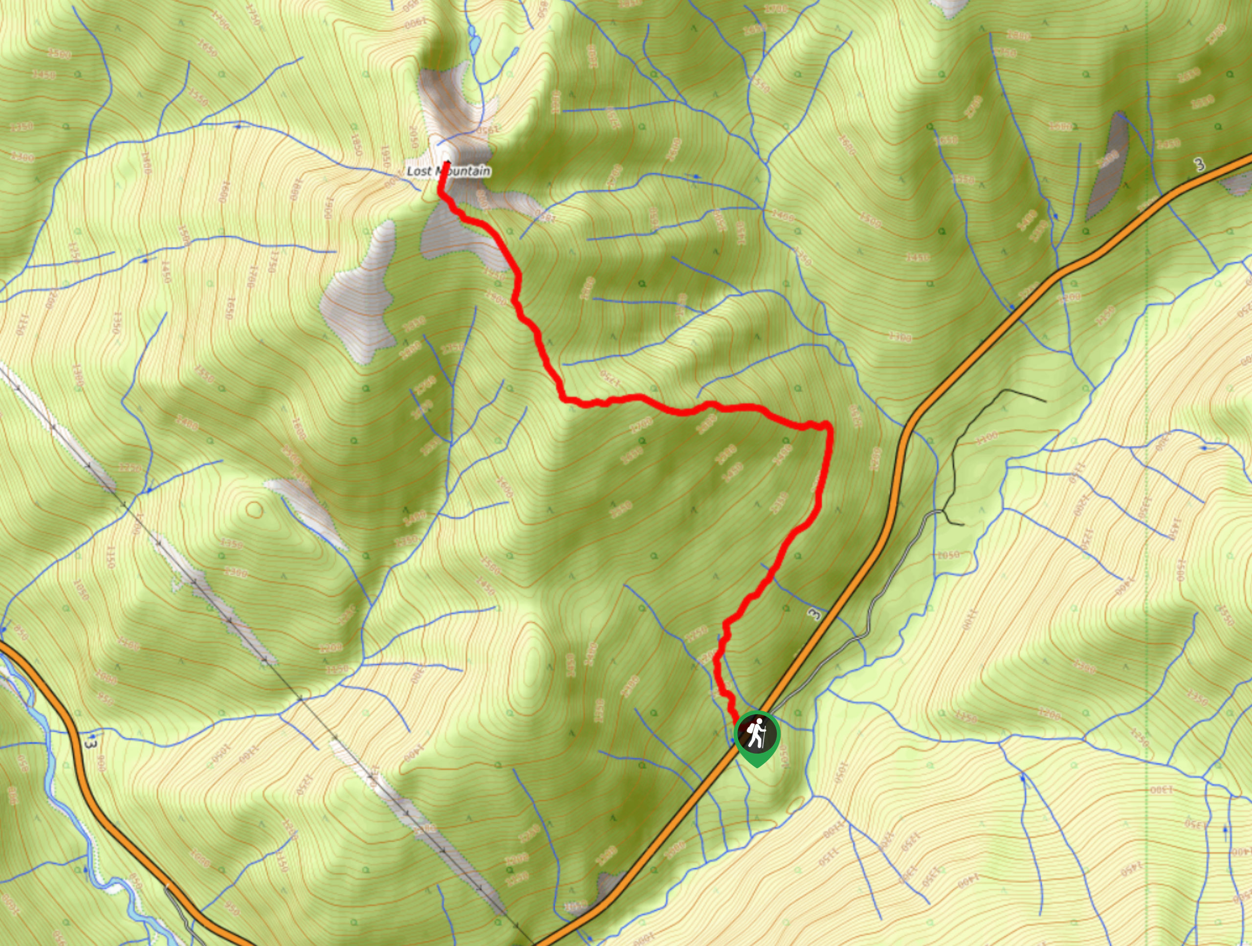
The trail up Lost Mountain is a 5.7mi out-and-back hiking route that climbs up a steep and slightly overgrown trail to reach an amazing view from the summit. With an elevation gain of 3445ft, this hike is a real leg burner; however, the spectacular views overlooking the Canada-U.S. border are enough to make it worthwhile. Make sure to wear proper hiking footwear, as there are some light scramble sections near the summit.
Getting there
To get to the trailhead for Lost Mountain from Salmo, head southeast on BC-3 for 16.5mi and you will find the parking area and the trailhead on the left.
About
| When to do | May-October |
| Backcountry Campsites | No |
| Pets allowed | Yes - On Leash |
| Family friendly | No |
| Route Signage | Average |
| Crowd Levels | Low |
| Route Type | Out and back |
Lost Mountain Hike
Elevation Graph
Weather
Lost Mountain Hike Description
Hiking the Lost Mountain Hike is a challenging outdoor activity that is sure to get your adrenaline flowing, both from the physically exhausting nature of the hike and the spectacular views from the summit. Located near Stagleap Provincial Park, the trail sets out from the BC-3 highway and climbs sharply uphill through the forest along a slightly overgrown but easy-to-navigate route. After working your way up to the lower ridge, the tree cover will thin out a bit and provide you with some nice views over the surrounding area.
On the final ascent to the summit, you will need to traverse some rocky stretches of trail and do a bit of light scrambling to access the viewpoint. Once there, you will have an amazing sightline over nearby mountain peaks, Stagleap Provincial Park to the east, and the Canada-U.S. border to the south. After taking in the views, carefully make your way back down the steep trail to return to your vehicle below.
Similar hikes to the Lost Mountain Hike hike
Brilliant Overlook Hike
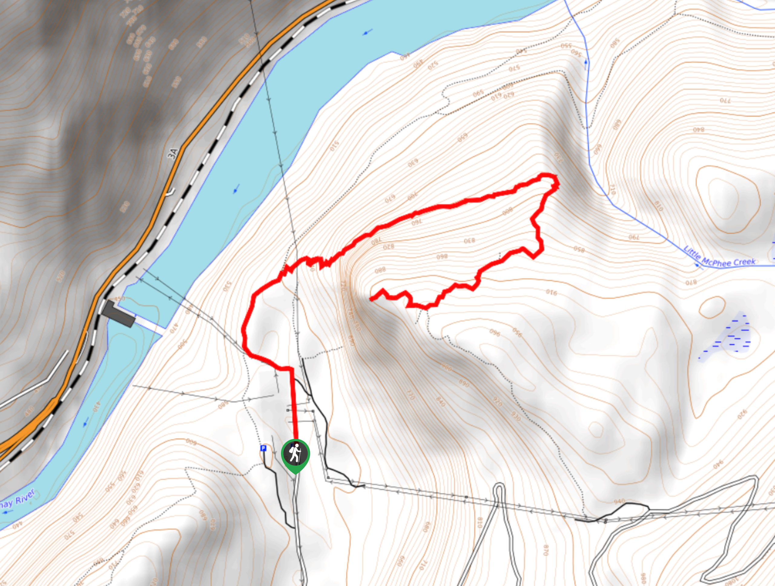
The hike to Brilliant Overlook is a 3.7mi out-and-back trail in Castlegar, BC, that works through the forest…
Merry Loop
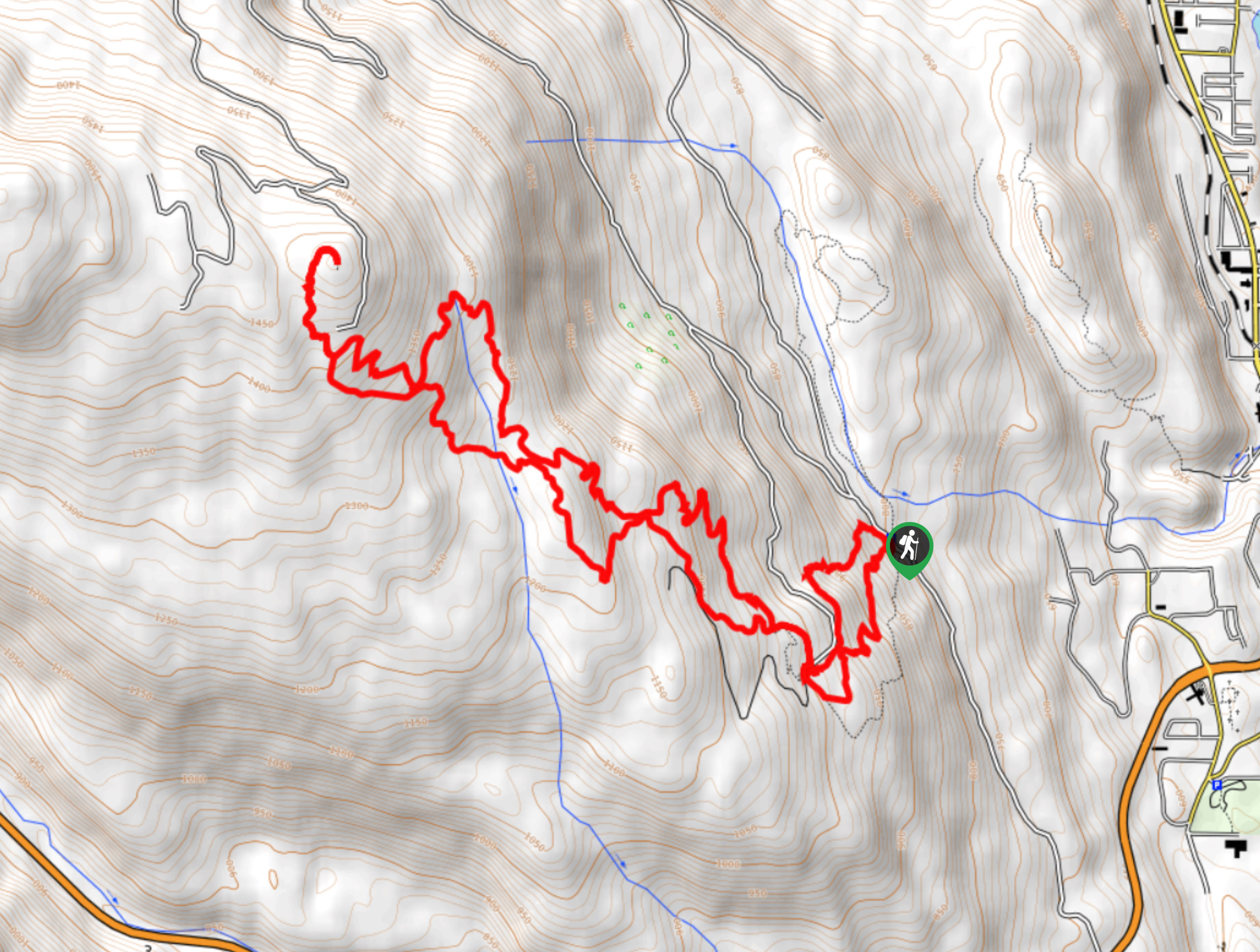
The Merry Loop Trail is a 8.7mi circuit hiking route that utilizes a multi-use trail through a beautiful…
Mount Roberts Trail
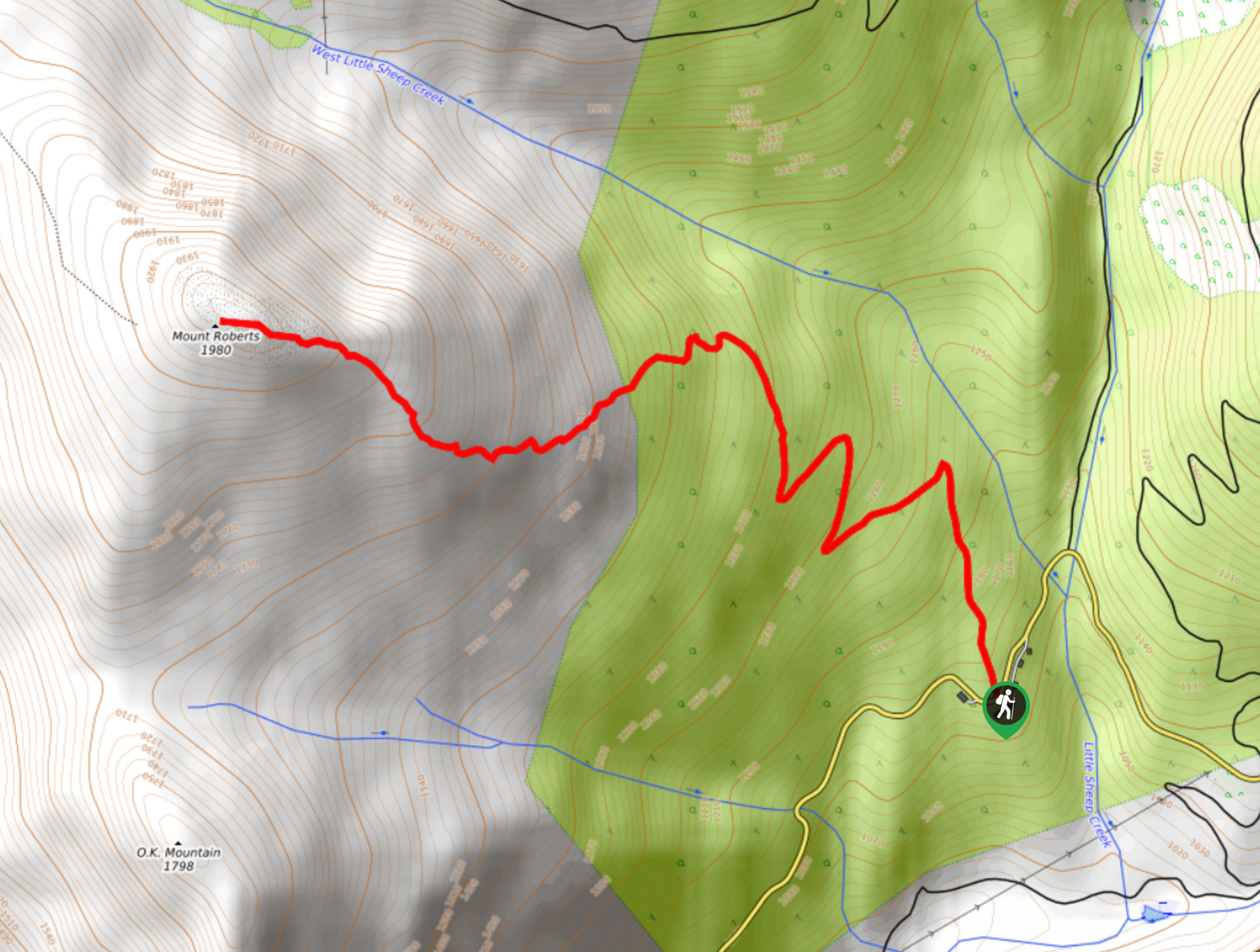
The hike up Mount Roberts follows a rugged 4.6mi out-and-back trail that will take you up the mountain…


Comments