
Kuskanax Creek Nakusp Hot Springs Trail
View Photos
Kuskanax Creek Nakusp Hot Springs Trail
Difficulty Rating:
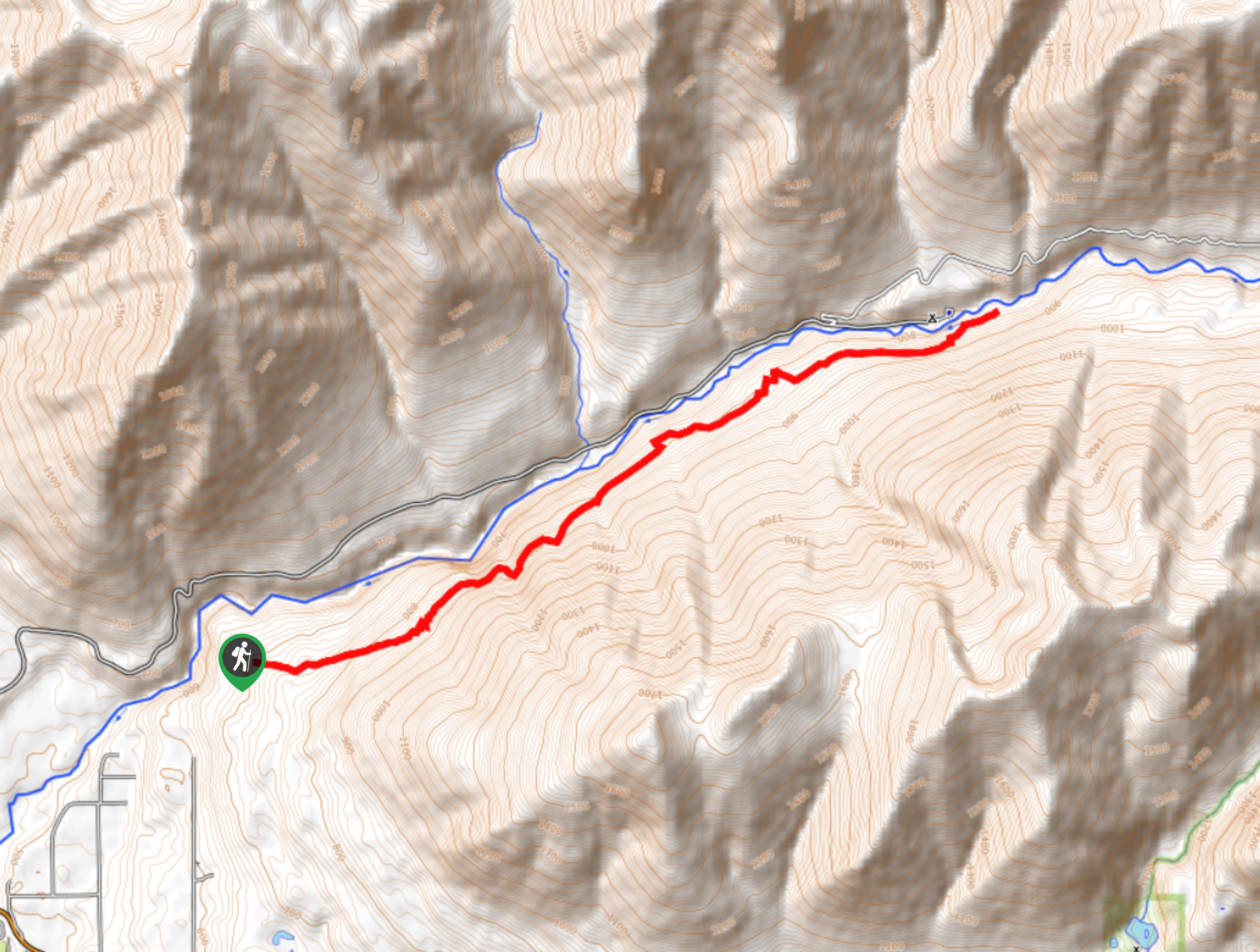
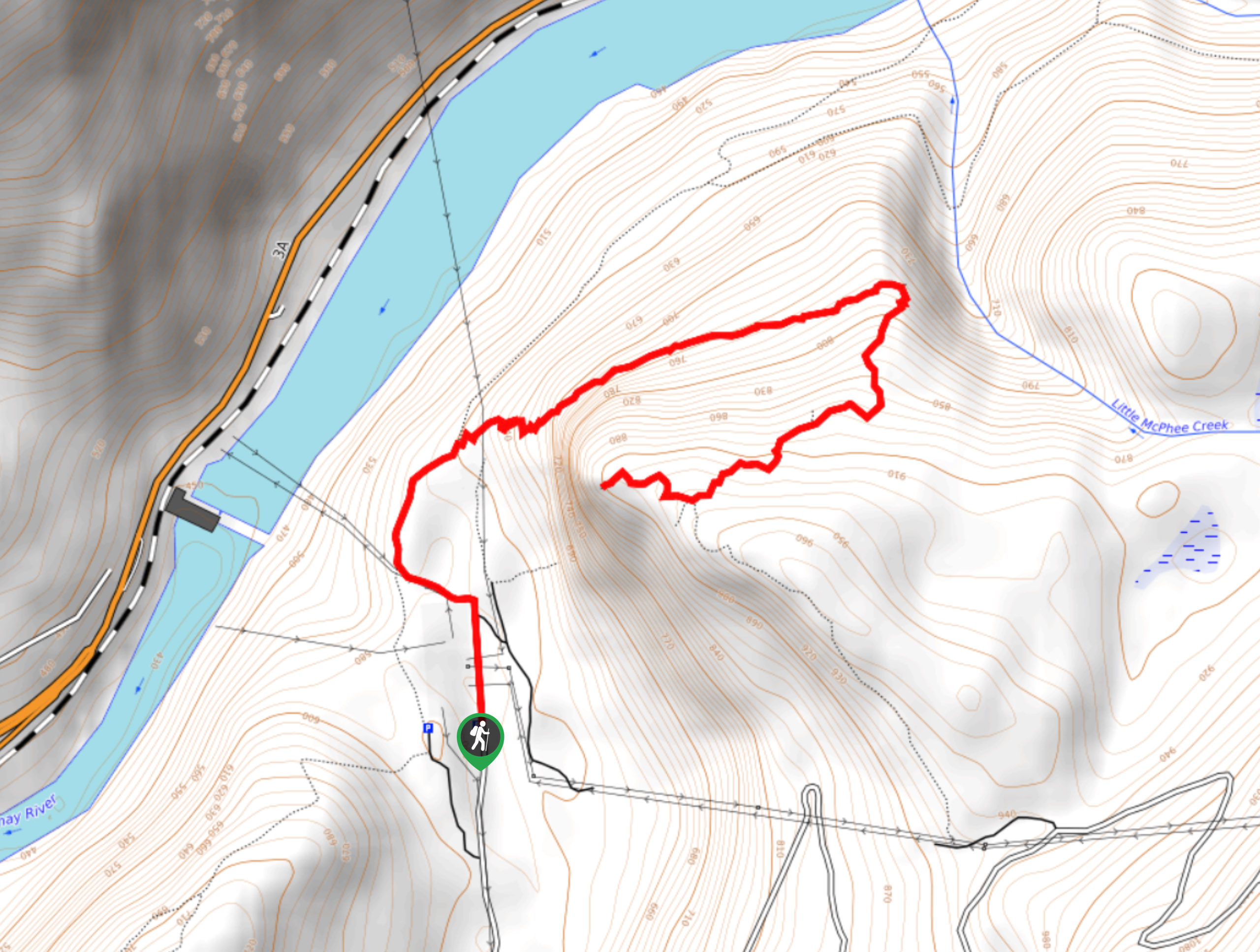
The Kuskanax Creek Nakusp Hot Springs Trail is a 10.3mi out-and-back hiking route that climbs uphill through the canyon and passes through beautiful old-growth forests to arrive at several relaxing hot springs along the Kuskanax Creek. Hikers can expect a moderately difficult route with a decent elevation gain and good mix of terrain that includes forested trails and creek crossings. Remember to pack your swimwear to take full advantage of the restorative nature of the thermal pools after the first leg of the hike.
Getting there
To reach the Kuskanax Creek Nakusp Hot Springs Trail from Nakusp, drive south on BC-6 for 0.8mi and turn left onto Alexander Road. Continue on for 1.5mi and turn right onto the forest service road. After 1.0mi, you will arrive at the parking area.

About
| When to do | March-November |
| Backcountry Campsites | Nakusp Hot Springs Campground |
| Pets allowed | Yes |
| Family friendly | Older Children only |
| Route Signage | Average |
| Crowd Levels | Moderate |
| Route Type | Out and back |
Kuskanax Creek Nakusp Hot Springs Trail
Elevation Graph
Weather
Kuskanax Creek Nakusp Hot Springs Trail Description
Hiking the Kuskanax Creek Nakusp Hot Springs Trail is a fun but lengthy route that will leave your legs a bit tired and in need of a good soak, which is fortunate because the relaxing hot springs will be waiting for you at the terminus of your hike. Setting out from the parking area, the trail sets off into the dense tree cover and passes through beautiful stretches of moss-covered old-growth forest. As you climb your way through the canyon, you will eventually reach a junction marking the end of the trail. Those hikers looking to make their way to the hot springs will need to head left to cross over a wooden bridge that spans Kuskanax Creek and provides a charming view over its rushing water. If you aren’t interested in a relaxing soak in the thermal pools, head back down the same trail to return to your vehicle.

Similar hikes to the Kuskanax Creek Nakusp Hot Springs Trail hike
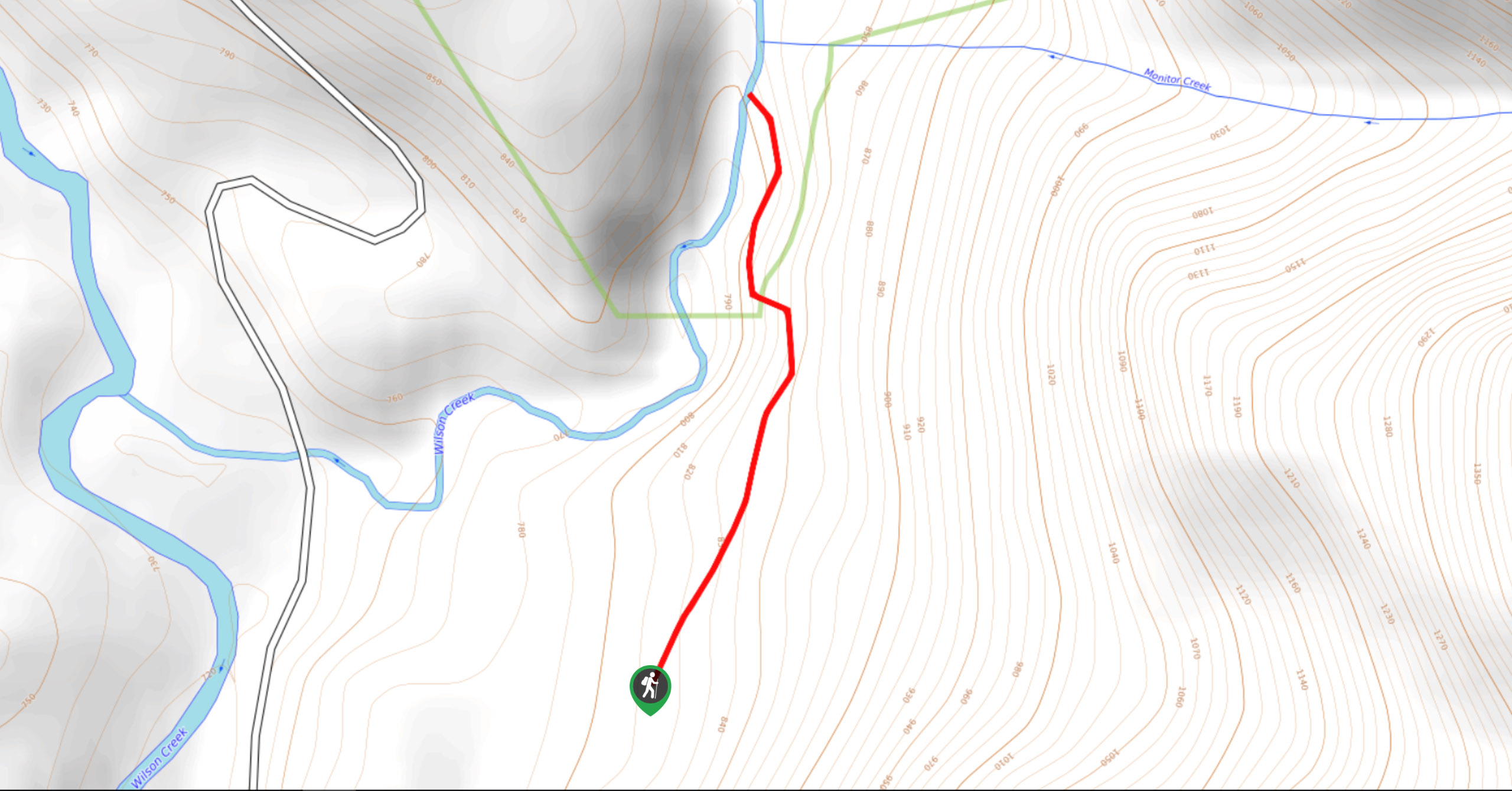
Wilson Creek Falls Trail
The Wilson Creek Falls Trail is a 1.8mi out-and-back route in Goat Range Provincial Park that travels along…
McPhee Waterfalls Hike
The McPhee Waterfalls Hike is a 3.5mi out-and-back hiking route near Castlegar, BC, that will take you along…
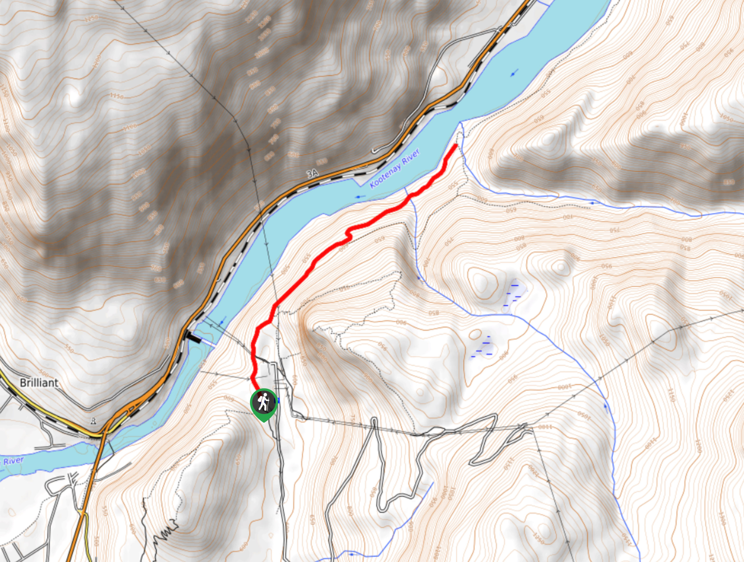
Brilliant Overlook Hike
The hike to Brilliant Overlook is a 3.7mi out-and-back trail in Castlegar, BC, that works through the forest…
KKuharic 4 years ago
You can hike this from the Nakusp Hot Springs all the way to the Valley of the Springs Winery. Or park one vehicle at the springs and one at the end of the trailhead (Alexander Rd) and drive to the Winery. Excellent local Nakusp Wine!! Make it a one day event. Hike, Winery, Hot Springs:)