

Kokanee Lake
View PhotosKokanee Lake
Difficulty Rating:
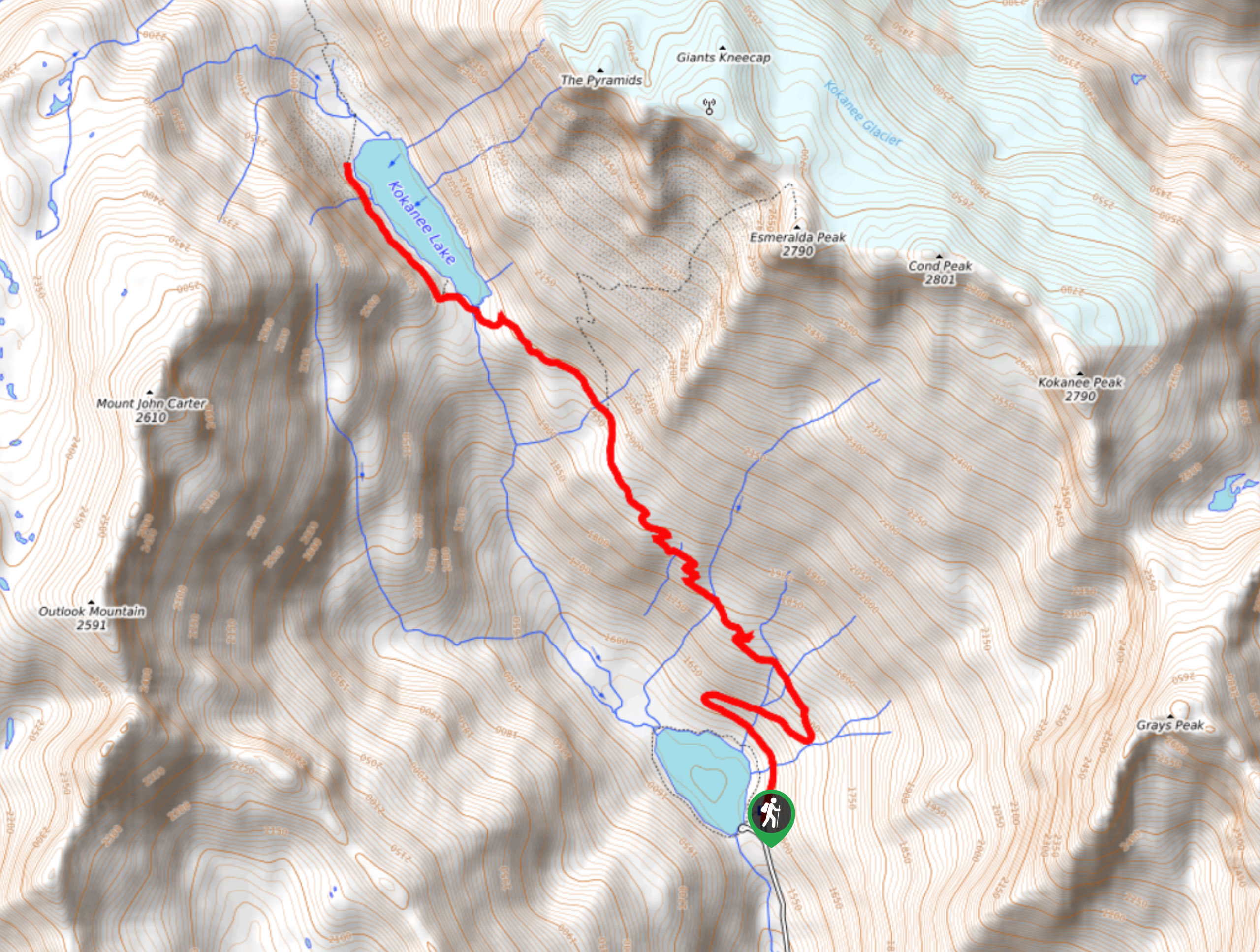
The hike to Kokanee Lake is a 6.3mi out-and-back route in Kokanee Glacier Provincial Park that will take you from the shores of Gibson Lake into the backcountry to visit the pristine waters of Kokanee Lake. This trail features a good variation in terrain that is made up of beautiful forested trails and scenic subalpine landscape. This is a perfect moderate hike for those looking to begin exploring the natural beauty of the park.
Getting there
To reach the trailhead for Kokanee Lake from Nelson, make your way north for 12.2mi along BC-3A and turn left onto Kokanee Glacier Road. After travelling along it for 9.7mi, you will find the parking area on the left next to Gibson Lake.
About
| When to do | May-October |
| Backcountry Campsites | No |
| Pets allowed | No |
| Family friendly | Older Children only |
| Route Signage | Average |
| Crowd Levels | Moderate |
| Route Type | Out and back |
Kokanee Lake
Elevation Graph
Weather
Kokanee Lake Trail Description
Hiking to Kokanee Lake is a great outdoor experience that isn’t overly difficult, but will provide a fun challenge and a good variation in terrain to keep you excited along the entirety of the route. The trail sets out from the shores of Gibson Lake near the entrance to the park, which means that you will need to arrive early enough to secure parking in this busy area. Once you get past the area around the Gibson Lake, you should have a bit more solitude along the trail as you work your way through the picturesque subalpine terrain. Make sure to wear proper hiking footwear and pack plenty of water if you are looking to complete this hike in the heat of the summer.
Setting out from the northern end of the parking area, follow the trail into the forest to make your way around the eastern edge of Gibson Lake. From here, continue north along a series of sweeping switchbacks with several creek crossings. As you continue working your way uphill, you will have a beautiful view looking down onto Gibson Lake, with Kokanee Peak on your right and Mount John Carter across the valley to the west.
Eventually, you will break out of the tree cover and into the beautifully scenic subalpine meadow, with breathtaking views looking down onto Kokanee Lake. Continue your hike towards the lake and follow the trail as it works along the western shore. Take in the extreme beauty of your surroundings, with the image of rugged mountain peaks reflecting off the calm water of the Lake. After taking some time to explore the area, head back along the same route to return to the parking area next to Gibson Lake.
Similar hikes to the Kokanee Lake hike
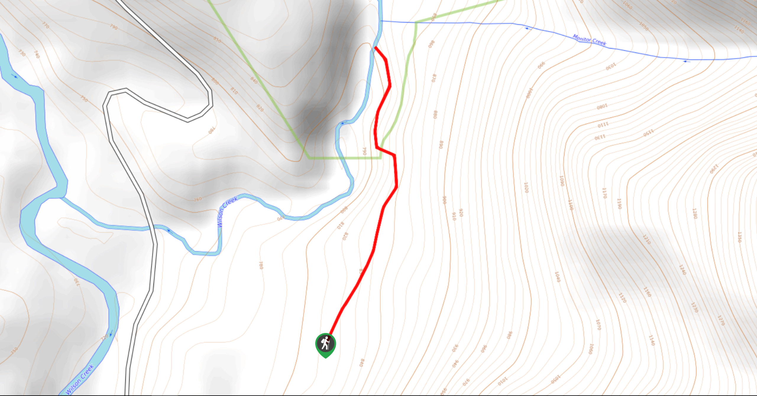
Wilson Creek Falls Trail
The Wilson Creek Falls Trail is a 1.8mi out-and-back route in Goat Range Provincial Park that travels along…
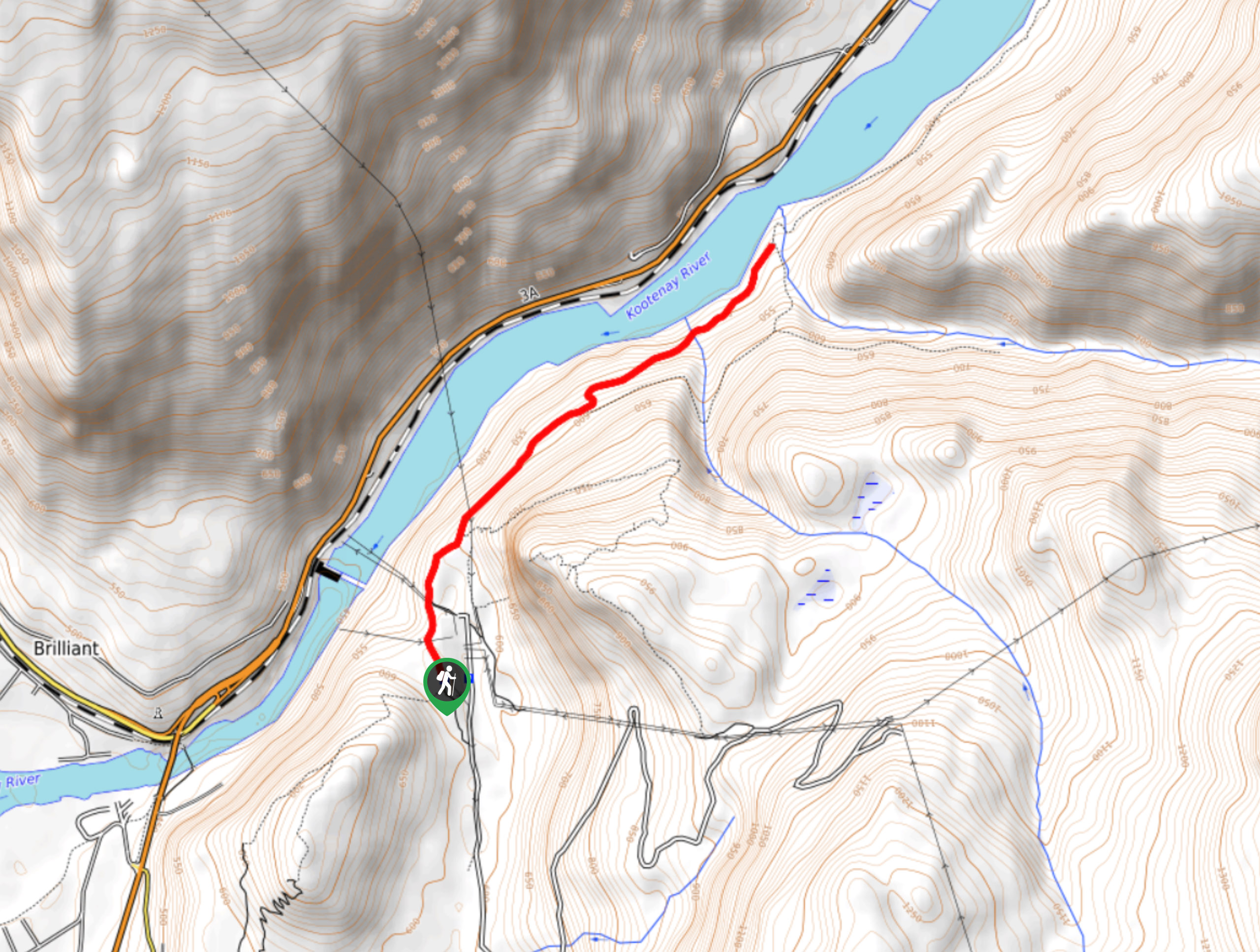
McPhee Waterfalls Hike
The McPhee Waterfalls Hike is a 3.5mi out-and-back hiking route near Castlegar, BC, that will take you along…
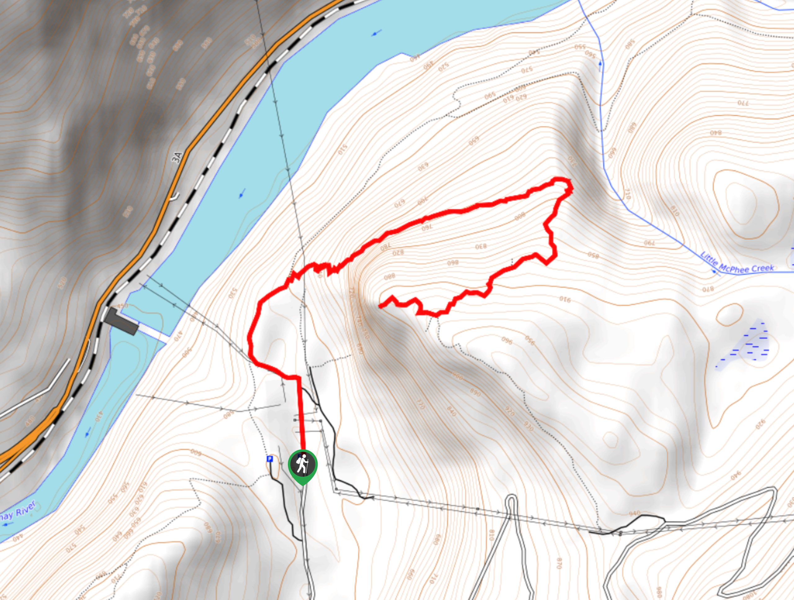
Brilliant Overlook Hike
The hike to Brilliant Overlook is a 3.7mi out-and-back trail in Castlegar, BC, that works through the forest…


Comments