

Ka Papa Cedar Trail
View PhotosKa Papa Cedar Trail
Difficulty Rating:
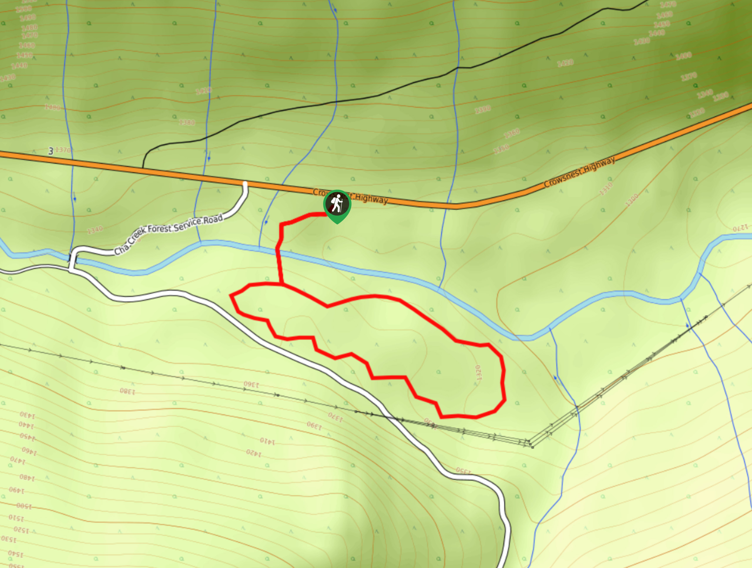
The Ka Papa Cedar Trail is a 1.3mi lollipop hiking route near Stagleap Provincial Park that will lead you through a beautiful stretch of forest surrounded by stunning old-growth cedar trees. While there aren't any scenic viewpoints along the route, the relaxing forest atmosphere and ancient trees will provide enough points of interest to keep you excited and entertained along the trail. With a short distance, easy terrain, and amazing scenery, this is a family-friendly hike that will feel like a fun adventure.
Getting there
To get to the Ka Papa Cedar Trail from Creston, head west on BC-3 for 21.9mi, and you will find the parking area and trailhead on the left.
About
| When to do | Year-Round |
| Backcountry Campsites | No |
| Pets allowed | Yes - On Leash |
| Family friendly | Yes |
| Route Signage | Average |
| Crowd Levels | Low |
| Route Type | Lollipop |
Ka Papa Cedar Trail
Elevation Graph
Weather
Ka Papa Cedar Trail Description
While the Ka Papa Cedar Trail may only be a small hiking loop, it is big on forest scenery and fun terrain. The trail sets out from the parking area and enters into the thick forest cover before crossing over a small creek and beginning the short loop. The route winds for 1.3mi through a beautiful stretch of old-growth cedar forest and allows hikers to gain a stronger appreciation for these massive, ancient trees that characterize the landscape. Along the trail, you can expect a mix of terrain that includes bridge crossings, dirt paths, stairs, and slightly more technical sections of rocks and roots that make for an exciting and fun day out in the woods. After wrapping up the quick loop, follow the trail over the creek and back towards the parking lot to return to your vehicle.
Similar hikes to the Ka Papa Cedar Trail hike
Wilson Creek Falls Trail
The Wilson Creek Falls Trail is a 1.8mi out-and-back route in Goat Range Provincial Park that travels along…
McPhee Waterfalls Hike
The McPhee Waterfalls Hike is a 3.5mi out-and-back hiking route near Castlegar, BC, that will take you along…
Merry Creek Trail
The Merry Creek Trail is a 2.8mi lollipop hiking route in Castlegar, BC that passes through a picturesque…



Comments