


Gimli Ridge hike
View PhotosGimli Ridge hike
Difficulty Rating:
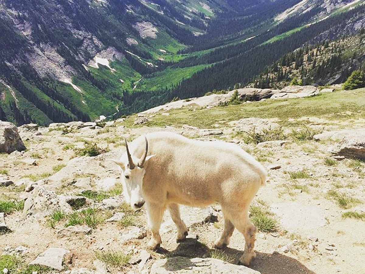
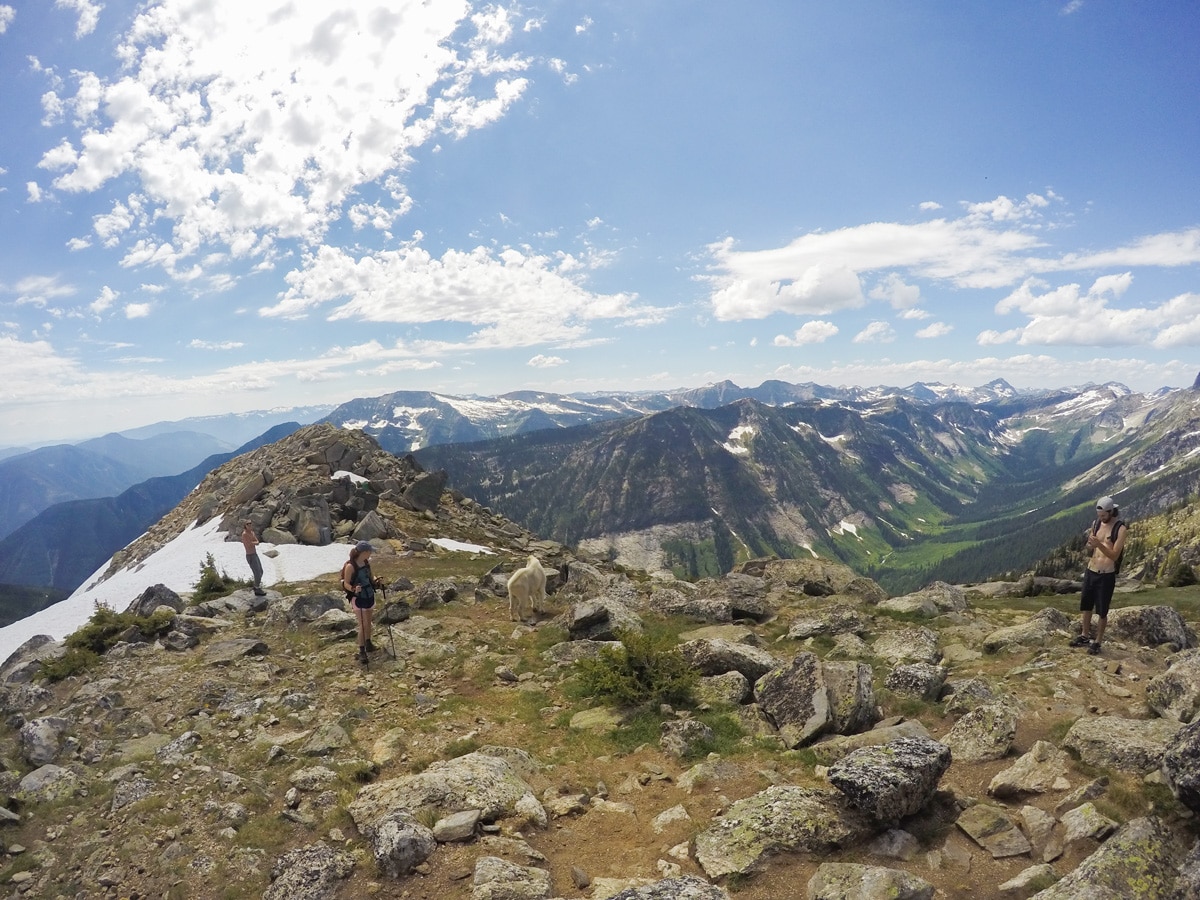
The Gimli Ridge hike is one of the shorter hikes in the Valhallas, but has beautiful views throughout. With stunning views of Mulvey Basin and a chance to explore the old forest, enjoy the view of Gimli Peak and you just may bump into a Mountain Goat (or two!). The Gimli Ridge hike is a hike not to be missed.
Getting there
From Slocan, head south and go right onto Gravel Pit Road setting your km marker to 0 (ignore the sign to Drinnon Pass). At around 0.5mi stay left onto Slocan West Road and in approximately half a km’s time you will cross a bridge over Gwillim Creek. At the next junction (1.4mi since starting) you need to stay right onto Little Slocan Road. Continue for a further 6.8mi where you reach the Gimli Ridge junction – turn right onto Bannock Burn Road. Keep bearing right where needed for the next couple of hundred meters, then continue onwards for 5.3mi where you will continue going straight and begin ascending. The Gimli trailhead is 16.2mi from the town of Slocan. You will reach the road’s end and a sign for the Gimli Trailhead.
About
| When to do | Early July - Early/Mid September |
| Backcountry Campsites | Designated sites beneath Gimli Peak |
| Pets allowed | No |
| Family friendly | Yes |
| Route Signage | Average |
| Crowd Levels | Low |
| Route Type | Out and back |
Gimli Ridge
Elevation Graph
Weather
Route Description for Gimli Ridge
You are going to need a 4WD, high clearance vehicle to get to the Gimli Ridge Trailhead. In addition, before setting off on the Gimli Ridge hike, check the forest road/BC trails report for the Valhallas as this Forest Service Road (FSR) often is in bad shape and is only suitable for 4WD access due to washouts or rivers. If you are planning on staying overnight, bring chicken wire to wrap around your car and secure it with rocks and sticks. Porcupines are known to visit this area and will chew on whatever they can find – such as cables and wires in your car!
Parking is easy as the Gimli Ridge trail doesn’t get too many hikers, however it’s good to arrive early in case a big group decides to do this hike. Also, starting early means you have more time to admire the views and enjoy the beauty of the Valhallas from Gimli Ridge.
Finally, this is grizzly bear country. Always remember your bear spray, hike in a group and be bear aware .
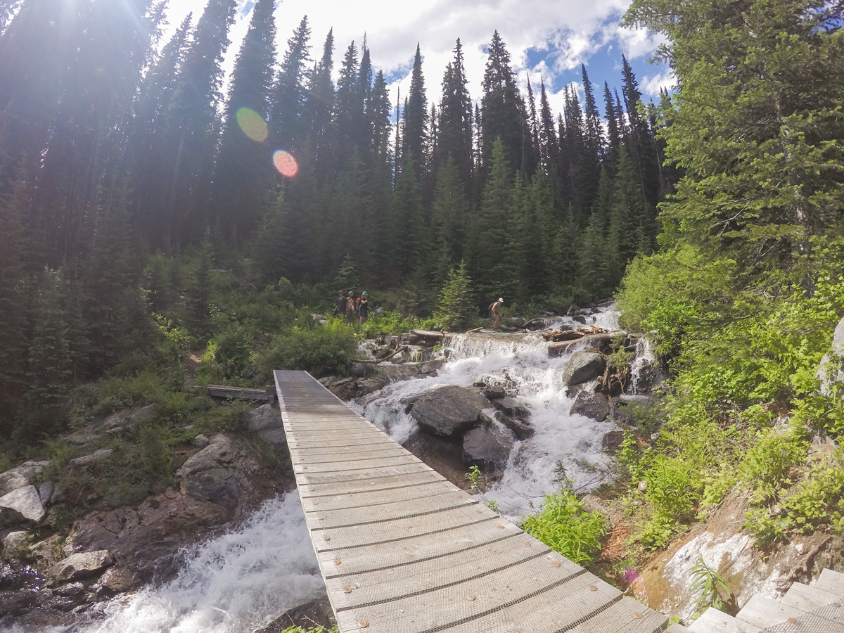
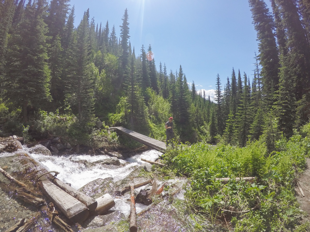
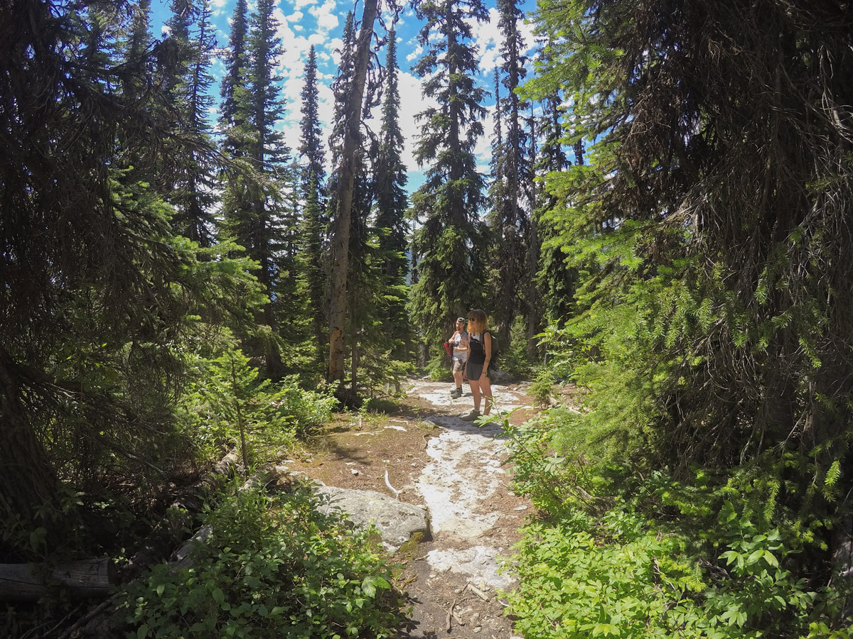
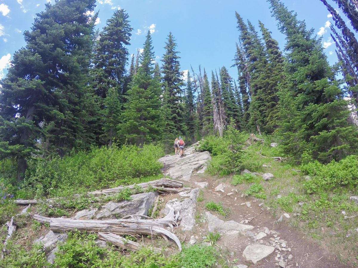
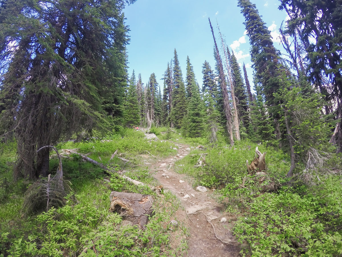
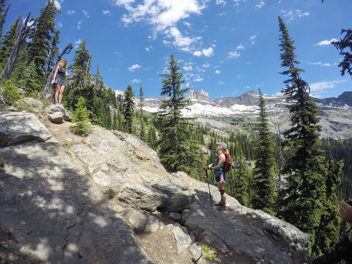
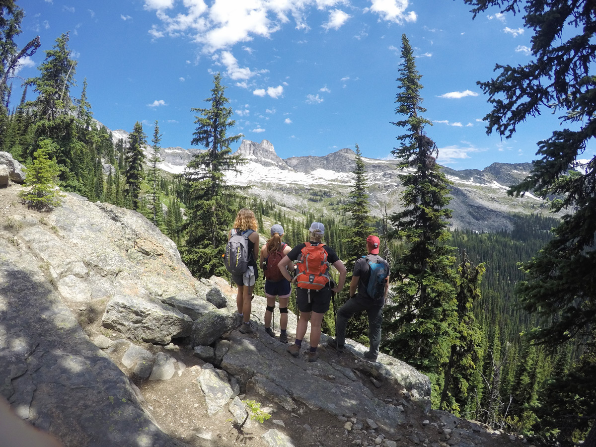
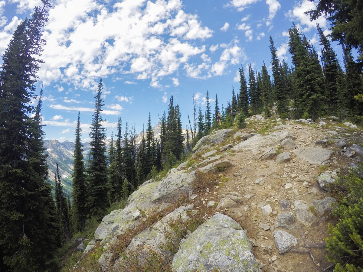
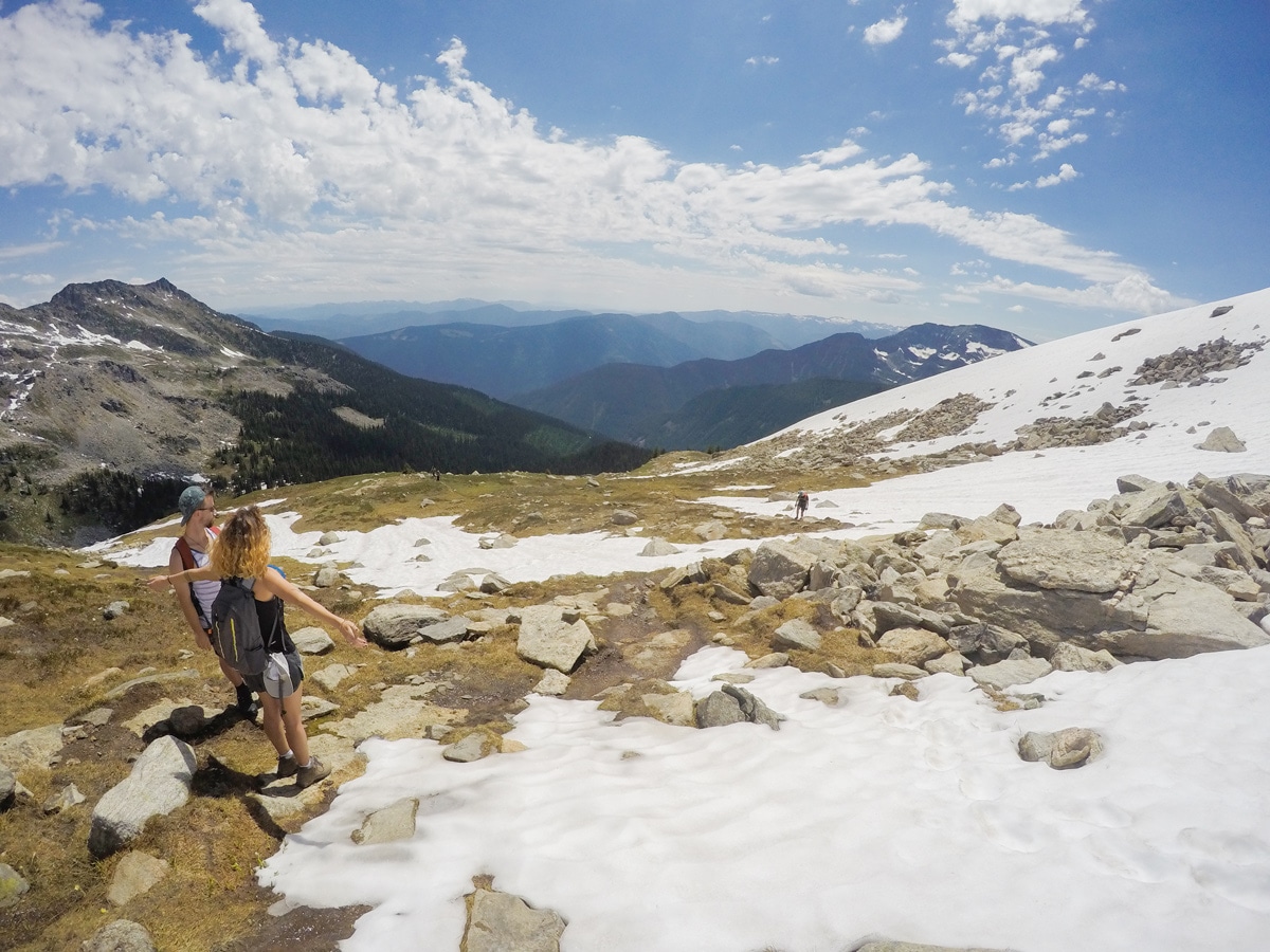
The trail to Gimli Ridge is clear and easy to follow. You will start out walking through an old forest, crossing a creek after about 10 minutes. From here you will follow the trail as it winds up through the woods for around 45 minutes until you reach rockier landscapes and boulders with your first view of the basin below. The climb steepens a little here and you will begin hiking up the grassy hills and some areas of gravel.
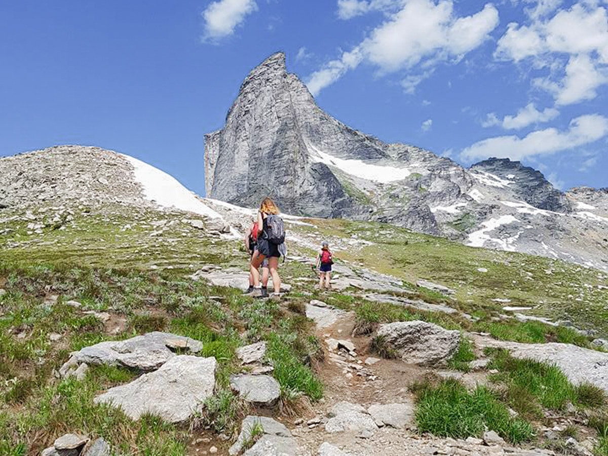
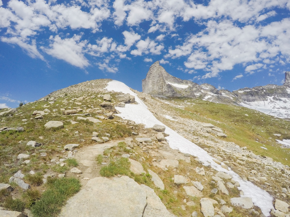
After hiking another 1-1.5 hours, you’ll hit 7874ft of elevation, where you can get a good view of the south side of Gimli Peak. From here, you proceed north towards Gimli Peak, hiking over gorgeous mossy boulders and a few tight switchbacks until you reach the meadow with a clear view of Gimli.
The path ends here and you can take any way you choose towards the base of Gimli Peak. The final short ascent to the base of Gimli Peak requires some light scrambling or you can walk closer to the peak and go around the rocks.
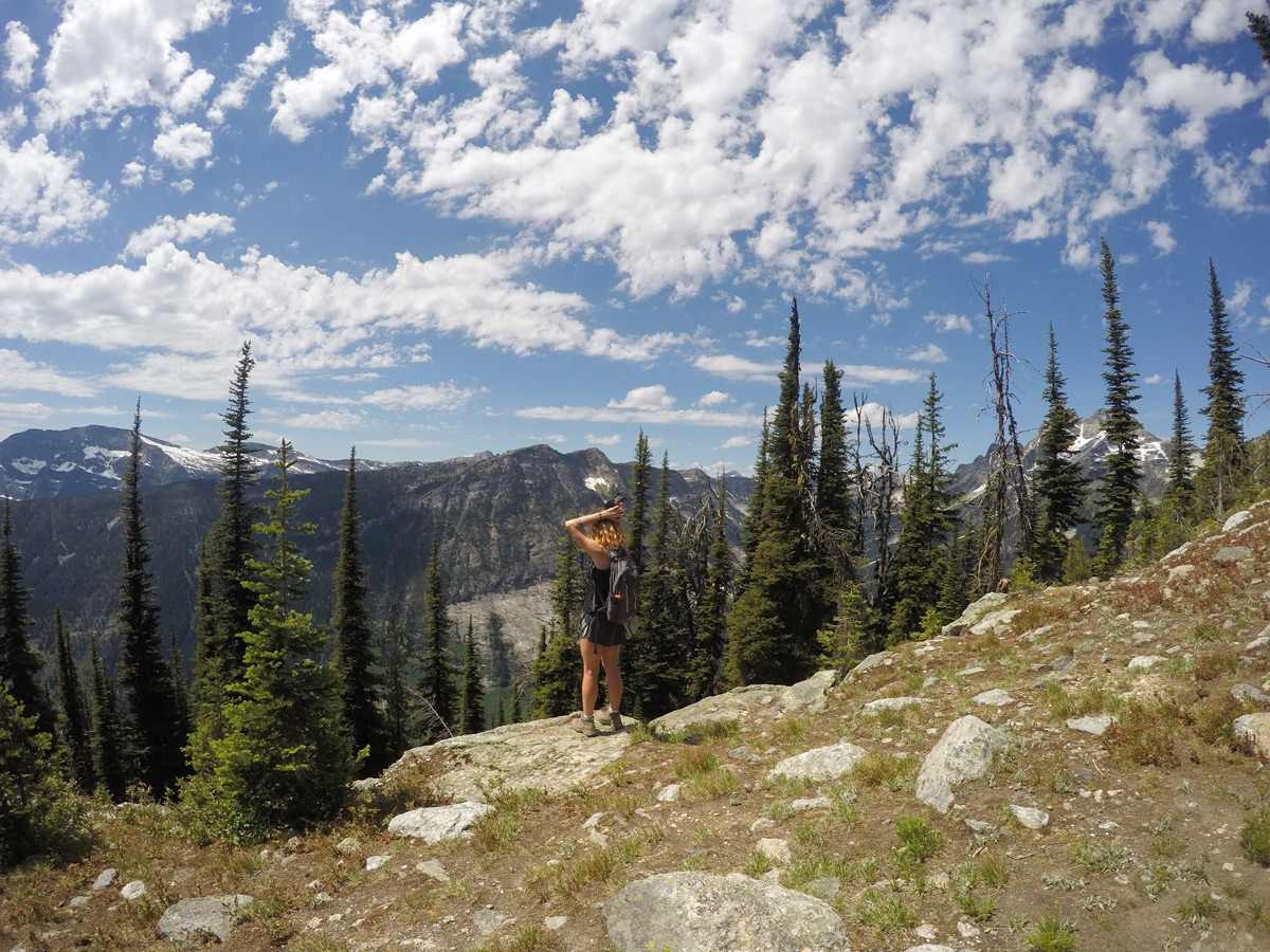
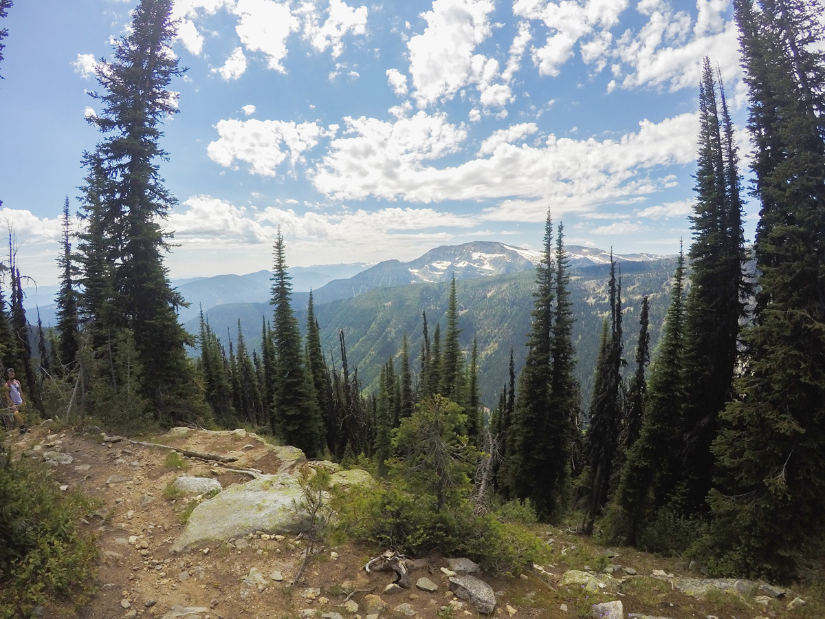
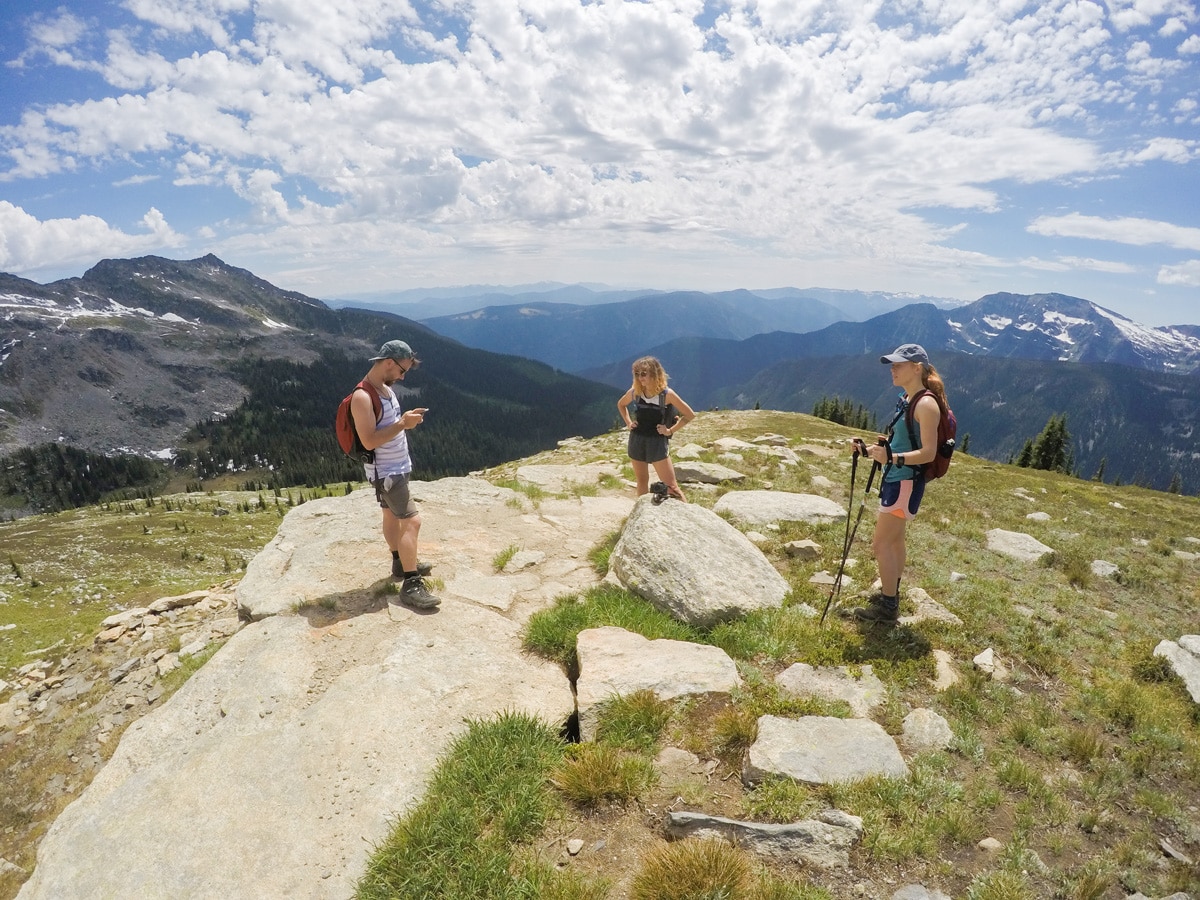
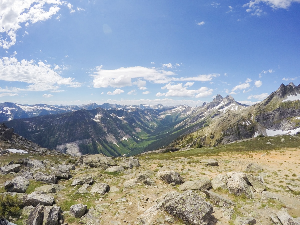
From the base of Gimli Peak you can see down into Mulvey Basin deep down in the valley, rivers, plentiful trees and Midgard Peak directly on the left. Right ahead of you in a NE direction is the impressive Gladsheim Peak at 9285ft.
If you want an even better view, you can continue left along the base of Gimli Peak and go to a saddle that overlooks Mulvey Lakes. This route involves some scrambling and you will have to climb over some rocks along the route, as well as some narrow trail. We recommend wearing a helmet due to potential rockfall. The views down to Mulvey Lakes is spectacular. We wouldn’t recommend this route when the route is wet or still snow covered.
After enjoying the views, return the way you came back to your car.
Insider Hints
Gimli Peak itself is an immense rock face, shaped like a shark fin and is a favourite for many local climbers. Beware if climbing – it is not for the faint of heart and climbing gear and experience is necessary.
Camping is restricted to the designated sites beneath Gimli Peak. Note that it can be very windy at the top.
Spend a day in the beautiful town of New Denver if you have come all this way. The lake is stunning and a great place to rent a paddle board or kayak (rentals available at Valhalla Pure). If you have time, camp at Bannock Point (free at the time of writing and relatively unknown to tourists). You can camp right down on the rocks with outstanding views of the Valhallas.
The drive to this hike is relatively easy, but long! Try and get there early to enjoy the full day and get a good parking spot.
If you go to New Denver, don’t forget to stop by at Sandarella’s. They have delicious sandwiches and homemade gelato! It is a very special, small community. At Sandarella’s you can sit right out on the deck with a lovely view of New Denver Glacier. There are also plenty of bike trails in this area that are easy and family friendly (for example the Galena Bike Trail).
Similar hikes to the Gimli Ridge hike
Wilson Creek Falls Trail
The Wilson Creek Falls Trail is a 1.8mi out-and-back route in Goat Range Provincial Park that travels along…
McPhee Waterfalls Hike
The McPhee Waterfalls Hike is a 3.5mi out-and-back hiking route near Castlegar, BC, that will take you along…
Brilliant Overlook Hike
The hike to Brilliant Overlook is a 3.7mi out-and-back trail in Castlegar, BC, that works through the forest…


YukihiroSato 5 years ago
Gimli Ridge is lovely! Perfect grassy hills and mountain views!
Glori S. 5 years ago
Easy 5 hours round trip hike. I can’t comment on the scramble up the spire itself because I'm not a fan of it!
Kevin Dufont 5 years ago
We had a peaceful day hike! Amazing views of the valley and a cool monolith are rewards at the summit.
Tara Green 5 years ago
A short hike, I did this last year, a lot of flowers and goats are cute
Nathan R. 5 years ago
Fantastic hike. The beauty of Valhalla is something that you should definitely see. The hike to the trail head is awe-inspiring..the trees give way and the Valhalla ranges are unique and relaxing to see.
isaacanderson 5 years ago
It was a truly delightful hike! There are lots of adorable animals along the way and cool views too.
Dan G. 5 years ago
Gimli Ridge is one of the most unique hikes I've seen in British Columbia. The best part about this place is how accessible it can be.
Arabella Houston 6 years ago
Marvelous surroundings. No wonder why this is home to more than a hundred species.
Pablo R. 6 years ago
Descending was easy, so once you make it to the top, it's smooth sailing! Beautiful hike from the beginning until the end.