


Fry Creek Canyon hike
View PhotosFry Creek Canyon hike
Difficulty Rating:
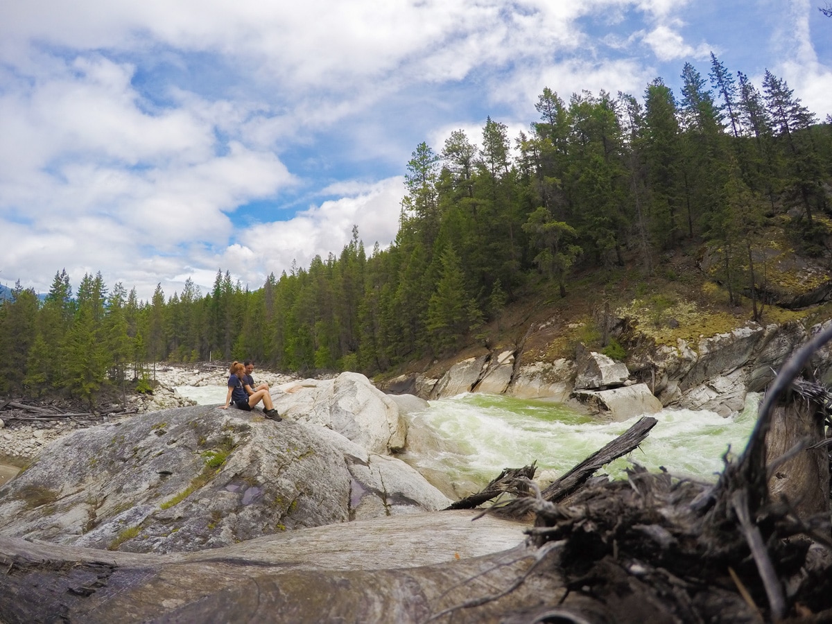
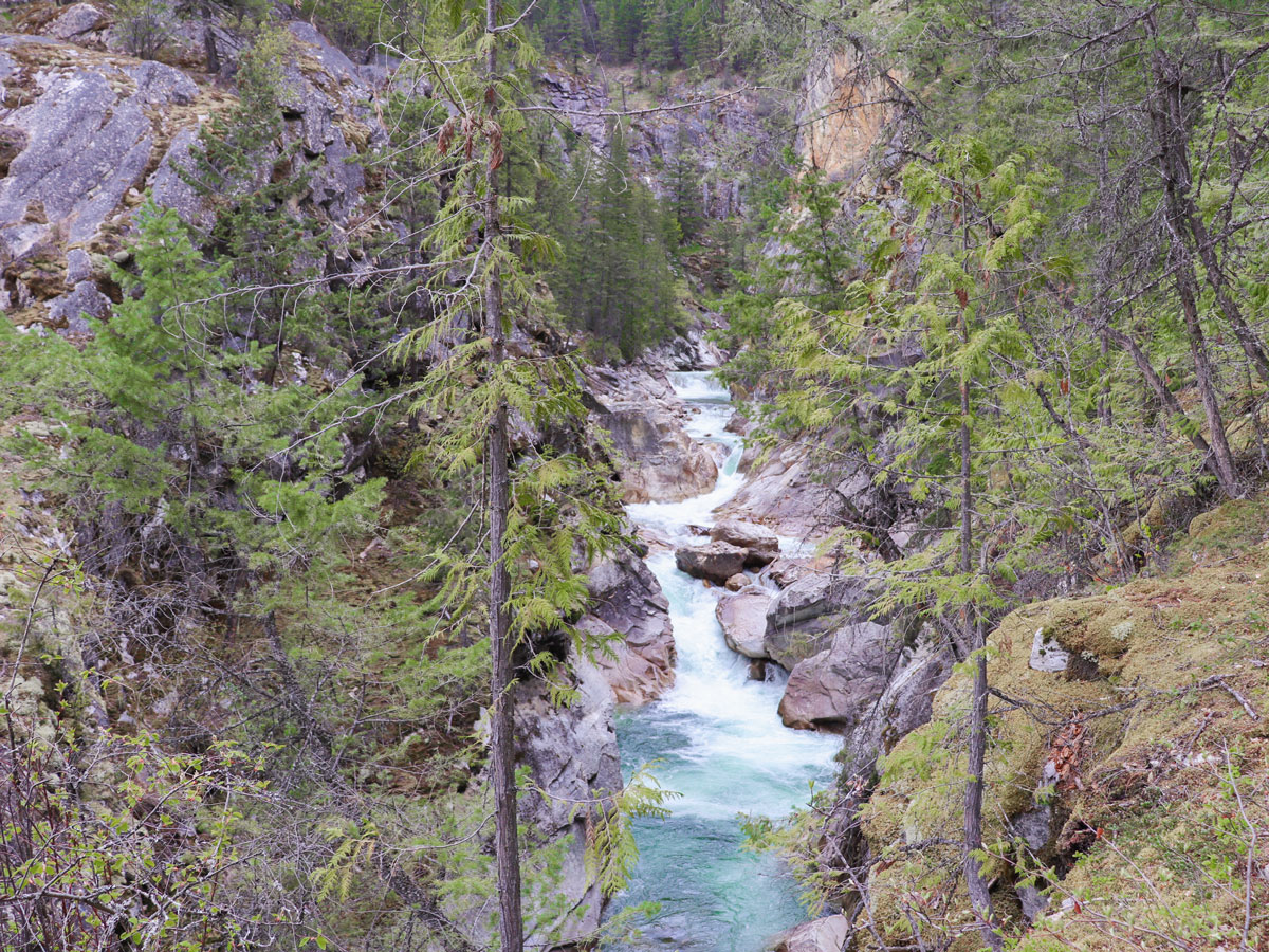
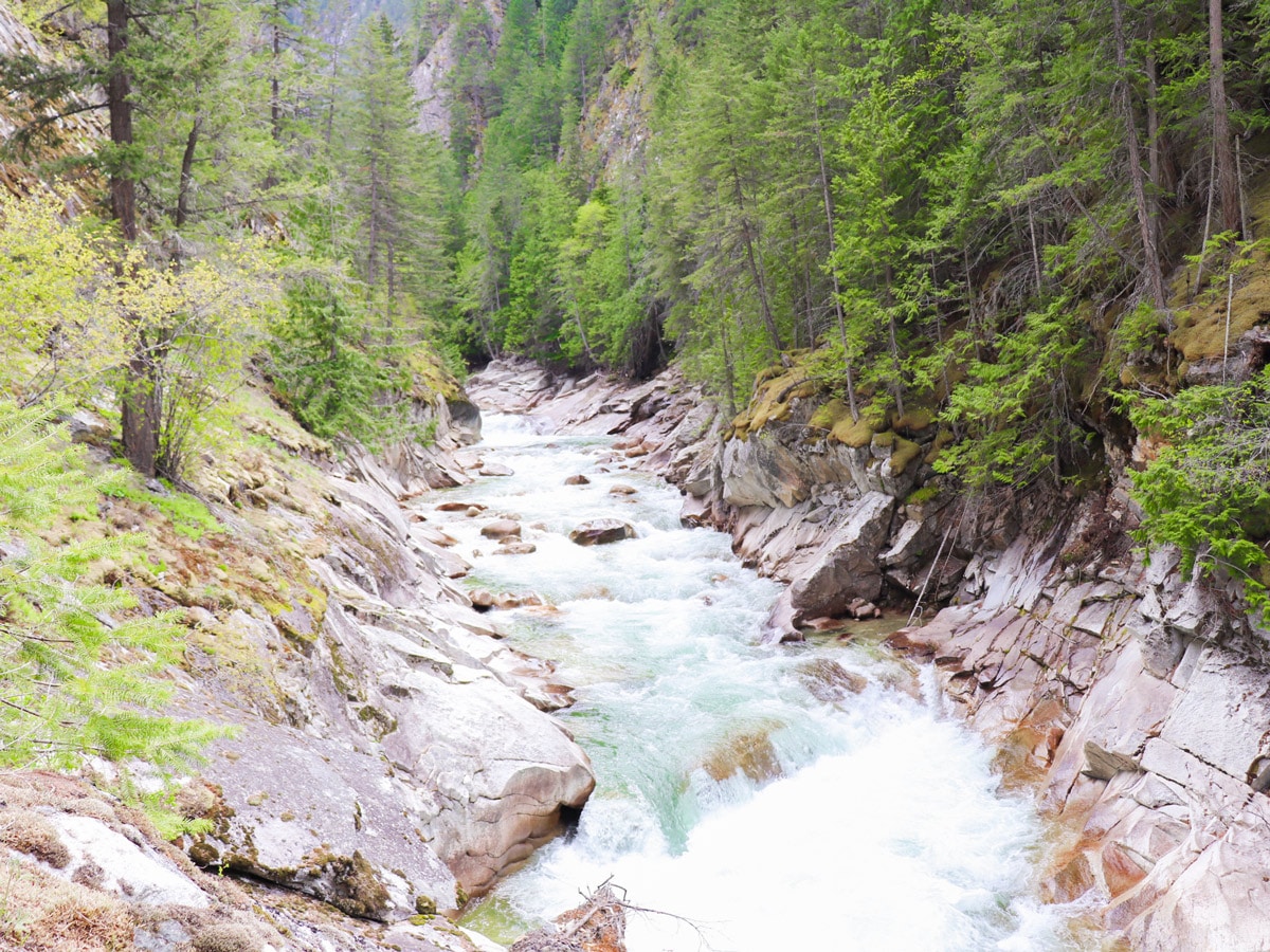
The Fry Creek Canyon hike is a great shoulder season hike through the impressive Fry Creek Canyon. The canyon itself is impressive and can be followed for as long as you like, although it was partly washed out in 2018. There are plenty of options to explore the beaches, forest and canyon on this hike and head off trail.
Getting there
From Kaslo, head north to the head of Kootenay Lake and just before Meadow Creek take a right (following signs to Jumbo Pass) until you cross over the Duncan River and reach a U bend going round to the right. Go right here onto Argenta-Johnsons Landing Road. Follow this road 9.9mi to Johnsons Landing, and go straight onto Houston Road just after Johnsons Landing. The trailhead is on your right.
About
| When to do | May to October |
| Backcountry Campsites | No |
| Pets allowed | Yes - On Leash |
| Family friendly | Older Children only |
| Route Signage | Poor |
| Crowd Levels | Low |
| Route Type | Out and back |
Fry Creek Canyon
Elevation Graph
Weather
Route Description for Fry Creek Canyon
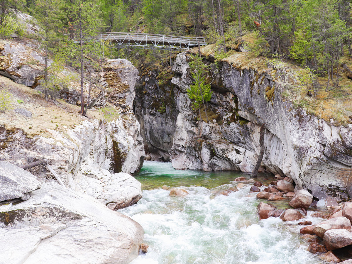
The Fry Creek Canyon hike, near Johnsons Canyon is a great hike, however, the canyon portion of the hike is not great for small children. There are steep drops into turbulent water and rapids. You can avoid the canyon and just go down to the bridge and beach if you prefer, it is equally beautiful.
This hike to Fry Creek Canyon takes you briefly into the edge of the Purcell Wilderness Conservancy. The trail leads to an impressive canyon with fast flowing water in an area that is relatively untouched or known to tourists. Most of the other hikers you will see are locals from Nelson or other nearby towns making their annual trip to celebrate the start of hiking season.
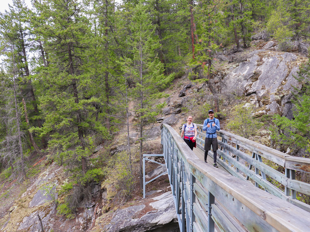
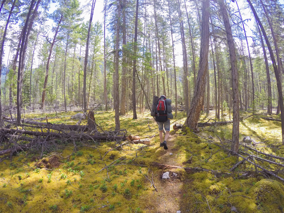
The trail to Fry Creek Canyon is very easy to follow and just before the bridge and canyon there is a sign explaining where to go. Once you cross the beautiful Fry Creek Bridge (placed here by helicopter) we like to walk up the canyon first (to the left) and then head back down to the beach on Kootenay Lake to explore.
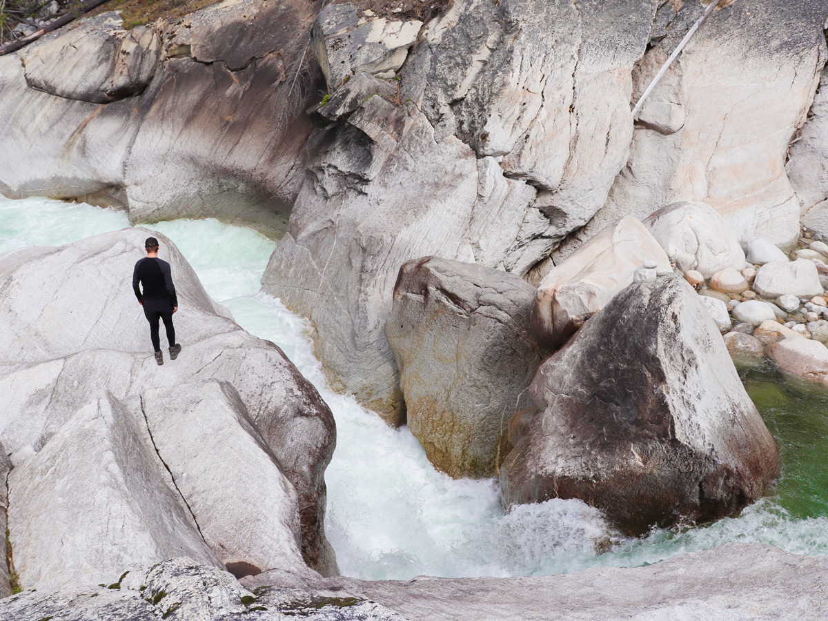
Going left at the bridge takes you into Fry Creek Canyon. We love spending some time hiking in the canyon, you can go on for 3.1mi to a small campsite which marks the end of the canyon trail, or you can wander up for 10-20 minutes and then turn around. Note that this trail should be done with caution if you have children with you, as there are significant drop-offs.
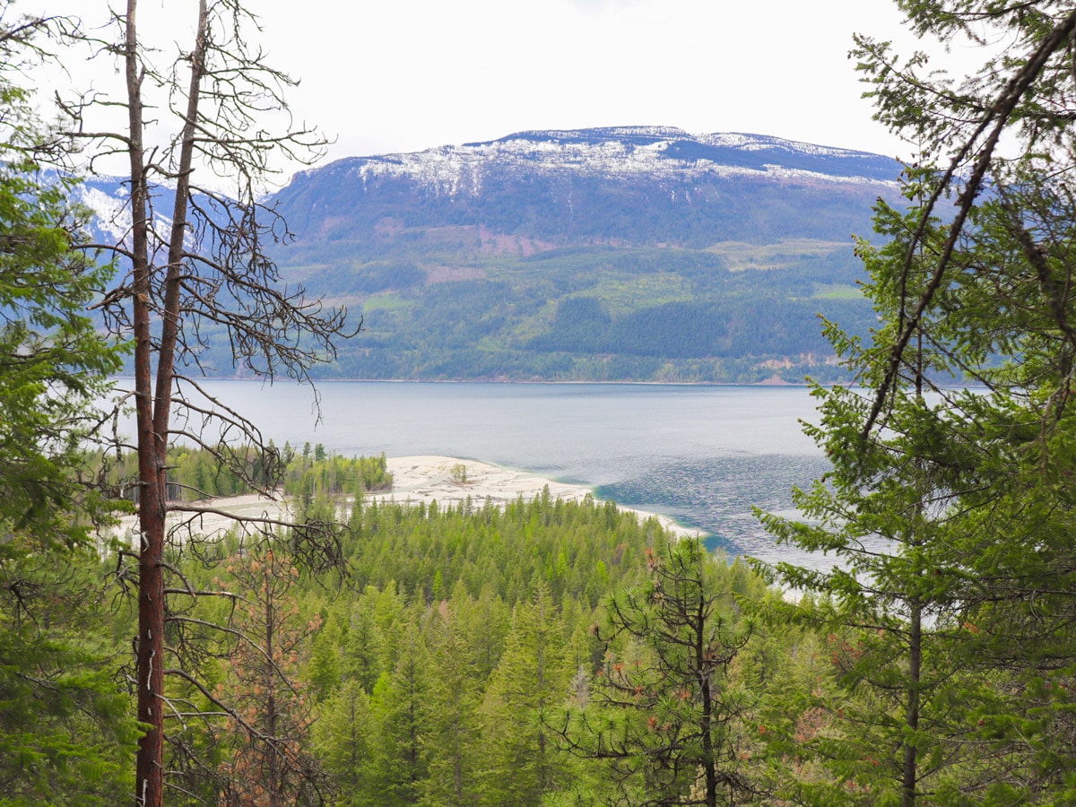
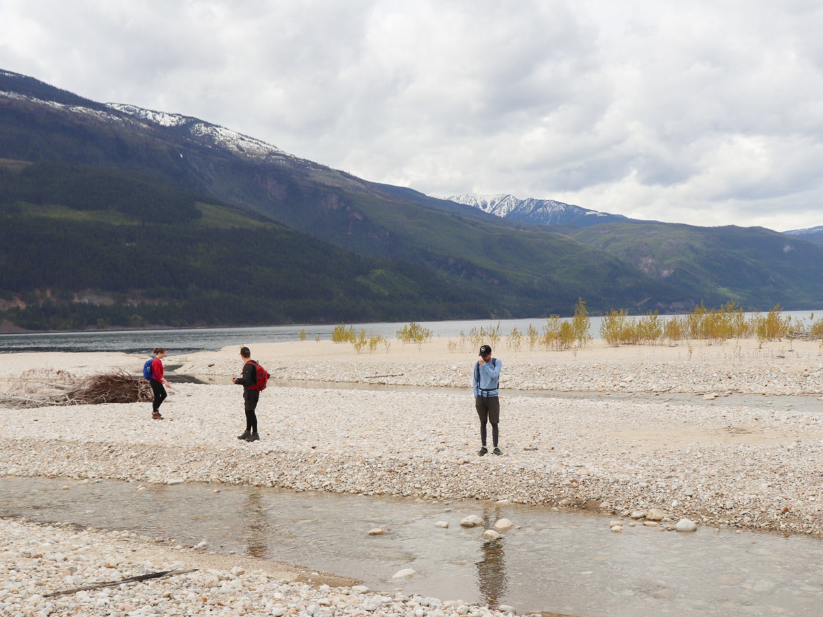
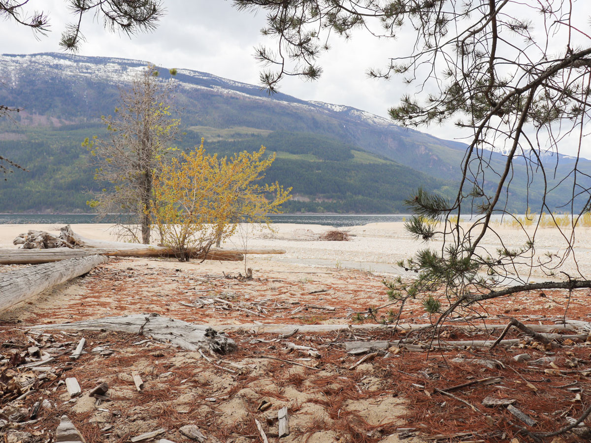
If you go right after the bridge then you head down onto the rocks and then continue on this trail and you will eventually reach a beach on Kootenay Lake, which is a wonderful place to spend the afternoon and swim in the lake. This area is always changing and the water has rerouted a few times, so beach size is dependent on water levels and what the river felt like doing each year.
There are a few old structures down on the beach where a local community used to spend summers, please leave them how they are – they are still used from time to time by the communities who own this land.
Once you’re ready to head back, return on the path you came back to your car.
Insider Hints
There is the possibility of camping depending on the conditions and time of year, though there is no official campsite.
Parking is limited here, but not usually an issue as the trail does not get much traffic.
Sign in at the trailhead and let the volunteers who maintain this trail know where you came from and how much you enjoyed it!
There are no pit toilets on this hike
Bears and cougars are sometimes seen in this area, please be bear aware and travel in groups.
A great place nearby to spend the night is at Davis Creek Campground. It offers exceptional views of Kootenay Lake and has some beautiful sites. Bring your kayak or paddle board! It opens May long weekend.
Similar hikes to the Fry Creek Canyon hike
Wilson Creek Falls Trail
The Wilson Creek Falls Trail is a 1.8mi out-and-back route in Goat Range Provincial Park that travels along…
McPhee Waterfalls Hike
The McPhee Waterfalls Hike is a 3.5mi out-and-back hiking route near Castlegar, BC, that will take you along…
Brilliant Overlook Hike
The hike to Brilliant Overlook is a 3.7mi out-and-back trail in Castlegar, BC, that works through the forest…


Tara Green 5 years ago
It is an absolutely beautiful sight. Can't wait to visit it again!
metamorphiks 5 years ago
We enjoyed the scenery. We spent 5 hours to complete it. Nice trail and not crowded as well.
Carissa Alvarado 5 years ago
Gorgeous hike with nice views along the way. There are plenty of activities you can try while you're here.
cartersans 6 years ago
Great hike for the family! There are various routes to take and interesting views to see.
Noah Copper 6 years ago
It takes only a couple of hours to finish it! The trail goes through a forest which offers a lot of beautiful views.
Slavik W. 6 years ago
This hike has a lot to offer beaches, forest, canyons... definitely a must try!
David L. 6 years ago
be careful as the trail is prone to erosions, and there are some steep ledges. the trail is mostly downhill on the way in and can have steep sections on the way back up.
adayinahikerslife 6 years ago
the lake is gorgeous...lots of leisure activities you can try... it is comparatively short in my opinion
Shad J. 6 years ago
The Fry Creek bridge offers one of the best views of the canyon. Look upstream to see churning green water cascading in a series of rapids and waterfalls. Best hike I've done this year.
candycane 6 years ago
Nice hike. Trails are easy to follow and monotonous.